
East Lynbreck, Tomintoul Road, Grantown-On-Spey, PH26
- Land size
- 1.5 acres
- Dwelling size
- 2530 sqft
- Bedrooms
- 4
- Bathrooms
- 4
Key Features
- One of a handful of exceptional properties in Scotland with direct, uninterrupted views across the Cairngorms National Park to the Cairngorm Mountains
- Thoughtfully designed and flexible family living accommodation
- Separate, self-contained studio apartment
- Integral double garage
- Generous perennial gardens with lawns, pond, woodland and walking trails
- Peaceful rural setting near Grantown-on-Spey, within the Cairngorms National Park
Description
Locations like this come on the market once in a generation. East Lynbreck occupies an elevated hillside near Grantown-on-Spey that places it among an exceptionally rare group of private homes in Scotland with sweeping views of the Cairngorms National Park and its mountain range. It is a property defined by a panorama that cannot be built, bought elsewhere, or recreated.
The ever-changing views form the backdrop to every room, balcony and patio.
The entrance vestibule opens into a welcoming central hallway. The sitting room is generously proportioned, featuring a wood-burning stove, and expansive windows that frame the Highland views. Double doors connect through to the dining room, providing a warm and intimate space for family gatherings and entertaining. From the sitting room there is access to the second-floor covered balcony.
A separate family room, again commanding those unparalleled views, features a vaulted ceiling and flows naturally into a study area, again with access to the second-floor covered balcony. The recently renovated kitchen, large enough for daily family dining, includes an Aga, fitted cabinets and ample worktop space. The utility and mudroom off the kitchen lead through to a spacious pantry, with the integral double garage accessed from the mudroom. A cloakroom/WC is positioned off the main hallway.
On the lower level, three bedrooms have each been designed to capture the magnificent views that make this property so singular. The principal bedroom suite includes a dressing area, an en-suite bathroom with bath and separate shower, and direct access to a private, covered patio. Two further spacious double bedrooms, each with built-in storage, are served by their own bath or shower room, with a linen cupboard providing additional storage.
Above the garage, a separate self-contained studio apartment offers exceptional versatility, equally suited to guest accommodation, holiday letting, a creative workspace or working from home. Accessed via an external staircase, the open-plan studio features a wood-burning stove, kitchenette and bathroom, with ample room for seating, sleeping and desk areas.
Garden and Grounds:- The property is set within generous, established grounds that fully embrace this outstanding and irreplaceable setting. Expansive lawns, mature plantings, varied seating areas, a pond, woodlands and walking trails together create a private, peaceful environment rich with wildlife. A gated entrance with gravel driveway completes the approach to the home that, in both position and panorama, stands in a category of its own.
East Lynbreck is, without qualification, a once-in-a-lifetime opportunity.
Accommodation Comprises
Ground Floor:- Entrance Vestibule, Entrance Hallway, Sitting Room, Dining Room, Family Room, Study Area, Kitchen, Utility Room, WC, Integral Double Garage
Lower Level:- Principal Bedroom (En Suite with Dressing Area), 2 Further Double Bedrooms, Family Bathroom, Family Shower Room, Linen Cupboard
Studio Apartment:- Open Plan Sitting/Bedroom Area, Office Area, Kitchenette, Bathroom
Outside:- Large Garden Grounds, Pond, Balcony, Decking Area, Private Driveway, Garden Shed, Woodland and Trails.
Distances
Grantown-on-Spey 5 miles, Nethy Bridge 6 miles, Boat of Garten 10 miles, Carrbridge 11 miles, Aviemore 15 miles, Kingussie 28 miles, Inverness 35 miles, Elgin 36 miles, Aberdeen 79 miles, Edinburgh 142 miles (all distances are approximate).
General Remarks
What3words
https://w3w.co/arts.spokes.beanbag
Fixtures and Fittings
All fitted carpets, curtain poles, blinds, light fittings and integrated appliances form part of the sale.
Services
Oil fired central heating
Mains electricity
Private water - provided by well
Drainage to a private septic tank
Fibre broadband services are available
Tenure
Freehold
Council Tax Band
Band G
EPC Rating
Rated D (66)
Listing & Conservation
East Lynbreck is not a listed building and does not fall within a conservation area. The property does however fall within the Cairngorms Nation Park.
Map Location
Property details
- Tenure
- Freehold
- Council Tax Band
- G
- Date Posted
- 2026-10-15
Market Value Analysis
Compared with 459 Homes with Land listings in Scotland (1+ acres).
Energy Performance Certificate
Energy Efficiency Rating
Based on UK Energy Performance Certificate standards (EU Directive 2002/91/EC)
Running costs are one side. Planning activity, flood history and ground risks for this location are in the full report.
Utilities & Restrictions
Utilities
- Electricity
- National Grid
- Water
- Wells
- Heating
- Oil Only
- Broadband
- Ask Agent
- Sewerage
- Septic Tank
Rights & Restrictions
- Public Rights of Way
- Ask Agent
- Private Rights of Way
- Ask Agent
- Listed Property
- Ask Agent
- Restrictions
- Ask Agent
Listed status, conservation areas and planning constraints for this location are in the full report.
Property Features
- Accessibility
- Ask Agent
- Parking
- Double garage (2); Driveway (4)
- Garden
- Large Garden Grounds, Pond, Balcony, Private Driveway, Wooden Shed, Decking Area, Woodland and Trails.
Beyond the particulars: planning activity, flood history, heritage and ground risks, checked for this exact spot.
Connectivity
Broadband
Fastest speed available at this postcode
10 Gbps
Standard (10-30 Mbps)
Suitable for
- 4K streaming on every screen
- Full-time home working
- Online gaming & big downloads
Mobile signal
Predicted 4G and 5G signal; indoor signal depends on building materials.
Ofcom Connected Nations postcode-level predictions. Speeds and signal are modelled, not measured, and vary between addresses and providers.
Signal is the easy part. Planning activity, flood history and protected designations here are in the full report.
Nearest Schools
Primary
- Abernethy Primary School3.3 miles
- Pupils
- 89
- Type
- Non-denominational
- Grantown Primary School4.1 miles
- Pupils
- 203
- Type
- Non-denominational
- Tomintoul Primary School6.8 miles
- Pupils
- 29
- Type
- Non-denominational
- Deshar Primary School8.8 miles
- Pupils
- 39
- Type
- Non-denominational
- Glenlivet Primary School9.6 miles
- Pupils
- 16
- Type
- Non-denominational
Secondary
- Grantown Grammar School4.3 miles
- Pupils
- 362
- Type
- Non-denominational
- Speyside High School18 miles
- Pupils
- 395
- Type
- Non-denominational
- Forres Academy23 miles
- Pupils
- 821
- Type
- Non-denominational
- Kingussie High School23 miles
- Pupils
- 417
- Type
- Non-denominational
- Nairn Academy24 miles
- Pupils
- 679
- Type
- Non-denominational
Distances are straight-line from the advertised location. Source: the national school registers (DfE, Welsh Government, Scottish Government) and Ofsted.
Schools are just the start: planning activity, heritage and any flood history here are in the full report.
Amenities
Supermarket
GP surgery
Pharmacy
Straight-line distances from the advertised location. Sources: NHS records, Geolytix supermarket locations, OS Open Greenspace and the national trails registers.
The area stacks up? Now check the location itself: planning nearby, protected designations and past flooding.
Getting Around
Nearest station
Nearest bus stop
Typical drive times
Straight-line distances from the advertised location; drive times are typical free-flow times over OpenStreetMap road data, so allow more at peak. Public transport locations from DfT NaPTAN.
Easy to reach matters. So do planning activity, flood history and ground risks: all in the full report.
Flood Risk
SEPA open data, checked around the advertised map pin for the listed acreage. Provided by LandSale, not the listing agent, and not part of the agent's particulars. Risk varies across a holding, so verify before committing.
Rivers and the sea
Surface water
These bandings are the summary. Where this location sits on the flood maps, plus planning activity, heritage and ground risks, is in the full report.
Important notice: Information, maps and tags on this page are drawn from the advertising agent's marketing materials or generated automatically. LandSale has not verified them. Relying on these details is at your own risk, always carry out independent checks before committing to a purchase.
LandSale full disclaimer
Marketing information only - not formal particulars. The details on this website are provided for general guidance and do not constitute an offer or contract. Neither LandSale nor the advertising estate/land agent accepts responsibility for any inaccuracy.
1. Source of information
- Listing content: Core description, asking price, tenure, measurements, photographs and planning history originate from the marketing materials of the advertising estate or land agent. LandSale does not author this content and cannot guarantee its accuracy.
- Automated tags & categorisation: Property type, land-use class, acreage bands and similar labels may be applied by machine-learning models. They are intended as a helpful guide only and may not reflect the property's legal status or permitted use.
- Third-party & enriched data layers: Maps, boundary outlines, planning designations, soil reports, broadband coverage and other environmental or location-based insights are licensed from external suppliers. Such data are supplied “as is", may be incomplete or out of date and are subject to change without notice.
2. Verification required
Prospective purchasers must verify critical matters, including but not limited to planning permission, title boundaries, public rights of way, environmental constraints, acreage, services, access and VAT status, through their own inspections, specialist surveys, legal advisers and the selling agent before relying on the information or entering into any contract.
3. No warranty or liability
LandSale gives no warranty, express or implied, as to the accuracy, completeness or fitness for any particular purpose of the information displayed. LandSale shall not be liable for any loss, damage, cost or expense arising directly or indirectly from any use of or reliance on such information, save where liability may not be excluded by law.
4. Updates & feedback
If you believe any detail on this listing is inaccurate, please let us know. We will investigate and, where appropriate, update the listing or notify the agent.
© LandSale | Version 1.3 - August 2026
Listing agent
Paton & Co, Berwick-upon-Tweed
Paton & Co Estate Agents, 17F Windmill Way West, Ramparts Business Park, Berwick-upon-Tweed, TD15 1TB
View agent profileSimilar properties for sale
- Price
- Offers Over£430,000
- Size
- 2.8 acres
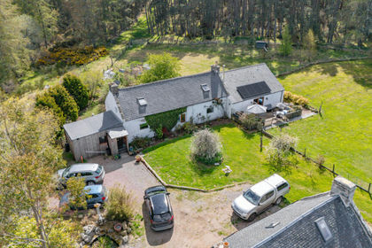
Muckle Lyne, Nairn, IV12, Moray West, Nairn and Strathspey, Highland IV12 Scotland
Added on 11/05/2026Homestead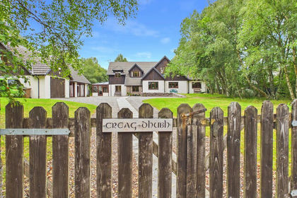
- Price
- Offers Over£599,950
- Size
- 1 acres
Dunachton Road, Kincraig, Kingussie, Moray West, Nairn and Strathspey, Highland PH21 Scotland
Added on 14/08/2026House with Land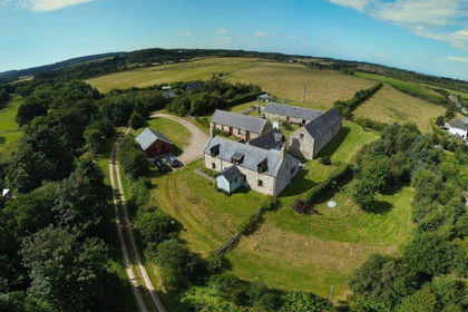
- Price
- Offers in Region of£625,000
- Size
- 3 acres
Briach Farmhouse, Rafford IV36, Moray West, Nairn and Strathspey, Moray IV36 Scotland
Added on 18/08/2026Smallholding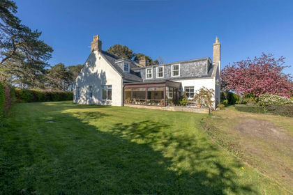
- Price
- Offers Over£500,000
- Size
- 2 acres
Lochyhill Farmhouse, Forres, IV36, Moray West, Nairn and Strathspey, Moray IV36 Scotland
Added on 24/05/2026House with Land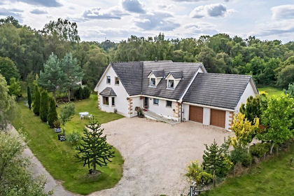
- Price
- Offers Over£560,000
- Size
- 2 acres
Karadene, Belivat, Nairn, IV12, Moray West, Nairn and Strathspey, Highland IV12 Scotland
Added on 02/09/2026House with Land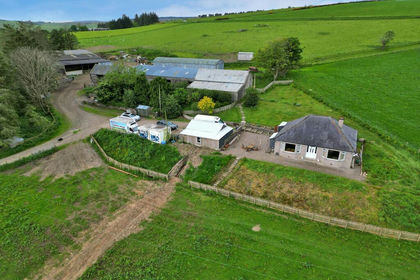
- Price
- Offers in Excess of£445,000
- Size
- 25.75 acres
Upper Lynemore, Keith, AB55, Moray West, Nairn and Strathspey, Moray AB55 Scotland
Added on 19/02/2026Smallholding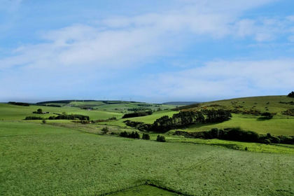
- Price
- Offers Over£445,000
- Size
- 25.75 acres
Added on 19/02/2026Farmland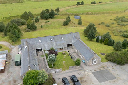
- Price
- Offers Over£600,000
- Size
- 3 acres
Flichity by Farr, Farr, IV2, Inverness, Skye and West Ross-shire, Highland IV2 Scotland
Added on 29/01/2026Barn Conversion
- Price
- Offers Over£595,000
- Size
- 4 acres
Kinloss, Upper Hempriggs, IV36, Moray West, Nairn and Strathspey, Moray IV36 Scotland
Added on 01/09/2026House with Land
- Price
- £550,000
- Size
- 92.81 acres
Added on 18/09/2026Farmland