Stonecroft, Barnetby, DN38
- Land size
- 2.3 acres
- Bedrooms
- 8
- Bathrooms
- 4
Key Features
- Statement home in 2.3 acre gardens
- Superbly proportioned throughout
- Recently restored to former glories
- Semi rural location with field side views
- 8 bedrooms and 4 bathrooms
- Ideal for multi generational living
- Council Tax Band G
Description
Stonecroft house has always been a statement home and now, having been sympathetically returned to it’s former glories, it is, once again, a residence of confident elegance.
The first impression is of size: a fact continued by the grand entrance hall with its magnificent return staircase and geometrically patterned floor, however the beautifully lit and well proportioned rooms offer a warm, relaxed welcome of calm sophistication.
The home allows for all aspects of family life to be catered for: the dual aspect sitting room and matching dining room cater for more formal family gatherings and entertaining whilst the 31’8 modern day kitchen is a generous space for informal socialising and, together with the adjoining breakfast room, forms the relaxed centre of the home.
The ground floor also features a library and office which offer space for either quiet relaxation or for the home worker, and the practicalities of life are catered for by a large utility, separate laundry/pantry and a 14’9 cloak room which could easily accommodate a shower if required.
The main landing is as impressive as the reception hall - flooded with natural light. The 8 bedrooms are served by 3 individually styled en-suite shower rooms and a traditionally appointed family bathroom with both walk-in shower and free standing roll topped bath, ensuring that family and guests alike are easily accommodated.
There are, however, yet more gems: the discovery of Victorian wall paper to part of the inner landing, wood panelling in what would have been the servants’ corridor, the incised name plate over what is thought to be the original entrance and the second, servants’ staircase all hark back to the residences’ original stature as an impressive, yet intimate working home.
Standing in 2.3 acres , or thereabouts, of primarily lawned grounds with specimen trees and productive vegetable garden, Stonecroft House is revealed through wrought iron gates which open to a tree lined drive with broad reception area beyond ensuring a superb welcome to those inevitable guests. There is, of course, a detached double garage together with a workshop connected to the main house.
This is a significant home of balance - the restored and the new, the grand and the relaxed - and versatility - ideal for both single family or multi-generational living if required - which enjoys a semi rural location within reach of the regions major communication centres of Lincoln, Grimsby and Hull via the M180 motorway network, main line rail connections and further abroad through Humberside international airport.
Stonecroft House - where your family history begins.
EPC Rating: E
Reception Hall
Stair Hall
Sitting Room
Dining Room
Rear Entrance
Library
Study
Day Kitchen
Breakfast room
Cloak Room
Laundry
Utility
Main Landing
Bedroom 1
En suite 1
Bedroom 2
En Suite 2
Bedroom 3
Bedroom 4
Bedroom 5
Bathroom
Bedroom 6
Bedroom 7
Bedroom 8
En Suite 3
Attached Garden Room
A practical dual aspect space leading from the side entrance, with flagged floor, exposed brick work and covered water cistern. It also allows access to the WORSHOP (5.97m x 3.06m), additional store and garden toilet.
Garden
Decorative wrought iron gates open to a tree lined, pea gravel topped horseshoe driveway which leads to both a 4 car reception area and a detached, brick built double garage. The property is fronted by a neat lawn with established shrub borders and field side views. The lawn continues to the side of the residence and includes inset specimen trees together with a substantial, fenced vegetable garden. Immediately to the rear there is a balustraded, flagged terrace flanked by gravel topped seating/entertainment areas which overlook a further lawned garden.
Disclaimer
ANTI MONEY LAUNDERING.
Intending purchasers will be asked to produce identification documentation at the offer stage sale.
This will be requested digitally via our partner company HIPLA who will request a fee of £20 + VAT per purchaser.
REFERRALS.
Newton Fallowell and our partners provide a range of services to buyers, although you are free to use an alternative provider. We can refer you on to Mortgage Advice Bureau for help with finance. We may receive a fee of £200, if you take out a mortgage through them. If you require a solicitor to handle your purchase we can refer you on to our in house solicitors. We may receive a fee of upto £200 if you use their services.
Map Location
Property details
- Tenure
- Freehold
- Council Tax Band
- G
- Date Posted
- 2026-09-10
Market Value Analysis
Compared with 696 Homes with Land listings in Yorkshire and The Humber (1+ acres).
Energy Performance Certificate
Energy Efficiency Rating
Based on UK Energy Performance Certificate standards (EU Directive 2002/91/EC)
Running costs are one side. Planning activity, flood history and ground risks for this location are in the full report.
Utilities & Restrictions
Utilities
- Electricity
- Mains
- Water
- Mains
- Heating
- Oil Heating
- Broadband
- Standard Copper (ADSL)
- Sewerage
- Mains
Rights & Restrictions
- Public Rights of Way
- Ask Agent
- Private Rights of Way
- Yes
- Listed Property
- Ask Agent
- Restrictions
- Ask Agent
Listed status, conservation areas and planning constraints for this location are in the full report.
Property Features
- Accessibility
- Ask Agent
- Parking
- Parking Available
- Garden
- Private Garden
Beyond the particulars: planning activity, flood history, heritage and ground risks, checked for this exact spot.
Connectivity
Broadband
Fastest speed available at this postcode
18 Mbps
Standard (10-30 Mbps)
Suitable for
- Web & social
- Music streaming
- Standard video calls
Fixed wireless access may also be an option here.
Mobile signal
Outdoor predictions; indoor signal depends on building materials.
Ofcom Connected Nations postcode-level predictions. Speeds and signal are modelled, not measured, and vary between addresses and providers.
Signal is the easy part. Planning activity, flood history and protected designations here are in the full report.
Nearest Schools
Primary
- St Barnabas CofE Primary School, Barnetby1.4 milesOfsted report card · Feb 2026
- Ages
- 5 to 11
- Pupils
- 127
- Type
- Voluntary controlled school
- Faith
- Church of England
- Kirmington CofE Primary School1.8 milesNo Ofsted rating
- Ages
- 3 to 11
- Pupils
- 38
- Type
- Voluntary controlled school
- Faith
- Church of England
- Ulceby St Nicholas Church of England Primary School3.1 milesOfsted: Good
- Ages
- 4 to 11
- Pupils
- 94
- Type
- Academy sponsor led
- Faith
- Church of England
- Grasby All Saints Church of England Primary School3.3 milesNo Ofsted rating
- Ages
- 3 to 11
- Pupils
- 89
- Type
- Voluntary controlled school
- Faith
- Church of England
- Wootton St Andrew's CofE Primary School3.7 milesNo Ofsted rating
- Ages
- 4 to 11
- Pupils
- 58
- Type
- Voluntary aided school
- Faith
- Church of England
Secondary
- Sir John Nelthorpe School5.2 milesNo Ofsted rating
- Ages
- 11 to 19
- Pupils
- 878
- Type
- Voluntary controlled school
- The Vale Academy5.2 milesNo Ofsted rating
- Ages
- 11 to 18
- Pupils
- 627
- Type
- Academy converter
- Caistor Grammar School5.9 milesOfsted: Good
- Ages
- 11 to 18
- Pupils
- 690
- Type
- Academy converter
- Caistor Yarborough Academy6 milesOfsted report card · Dec 2025
- Ages
- 11 to 16
- Pupils
- 680
- Type
- Academy converter
- Oasis Academy Immingham6.9 milesOfsted report card · Mar 2026
- Ages
- 11 to 16
- Pupils
- 568
- Type
- Academy sponsor led
Distances are straight-line from the advertised location. Source: the national school registers (DfE, Welsh Government, Scottish Government) and Ofsted.
Schools are just the start: sold prices nearby, planning activity and any flood history are in the full report.
Amenities
Supermarket
GP surgery
Pharmacy
Hospital
Straight-line distances from the advertised location. Sources: NHS records, Geolytix supermarket locations, OS Open Greenspace and the national trails registers.
The area stacks up? Now check the location itself: planning nearby, protected designations and past flooding.
Getting Around
Nearest station
Nearest bus stop
Typical drive times
Straight-line distances from the advertised location; drive times are typical free-flow times over OpenStreetMap road data, so allow more at peak. Public transport locations from DfT NaPTAN.
Easy to reach matters. So do planning activity, flood history and ground risks: all in the full report.
Flood Risk
From Environment Agency flood map open data, checked around the advertised map pin and allowing for the listed acreage where known. This summary comes from LandSale, the advertising platform, not from the listing agent, and is not part of the agent's particulars. Risk can vary across a single holding, so verify anything critical through your own searches before committing.
Rivers and the sea
Surface water
These bandings are the summary. Where this location sits on the flood maps, plus planning activity, heritage and ground risks, is in the full report.
Important notice: Information, maps and tags on this page are drawn from the advertising agent's marketing materials or generated automatically. LandSale has not verified them. Relying on these details is at your own risk, always carry out independent checks before committing to a purchase.
LandSale full disclaimer
Marketing information only - not formal particulars. The details on this website are provided for general guidance and do not constitute an offer or contract. Neither LandSale nor the advertising estate/land agent accepts responsibility for any inaccuracy.
1. Source of information
- Listing content: Core description, asking price, tenure, measurements, photographs and planning history originate from the marketing materials of the advertising estate or land agent. LandSale does not author this content and cannot guarantee its accuracy.
- Automated tags & categorisation: Property type, land-use class, acreage bands and similar labels may be applied by machine-learning models. They are intended as a helpful guide only and may not reflect the property's legal status or permitted use.
- Third-party & enriched data layers: Maps, boundary outlines, planning designations, soil reports, broadband coverage and other environmental or location-based insights are licensed from external suppliers. Such data are supplied “as is", may be incomplete or out of date and are subject to change without notice.
2. Verification required
Prospective purchasers must verify critical matters, including but not limited to planning permission, title boundaries, public rights of way, environmental constraints, acreage, services, access and VAT status, through their own inspections, specialist surveys, legal advisers and the selling agent before relying on the information or entering into any contract.
3. No warranty or liability
LandSale gives no warranty, express or implied, as to the accuracy, completeness or fitness for any particular purpose of the information displayed. LandSale shall not be liable for any loss, damage, cost or expense arising directly or indirectly from any use of or reliance on such information, save where liability may not be excluded by law.
4. Updates & feedback
If you believe any detail on this listing is inaccurate, please let us know. We will investigate and, where appropriate, update the listing or notify the agent.
© LandSale | Version 1.3 - August 2026
Listing agent
Newton Fallowell, Brigg
Unit 1, 2 Wrawby Street, Brigg, DN20 8JH
Similar properties for sale
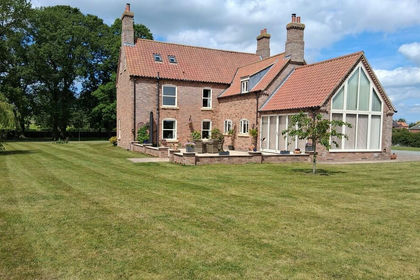
- Price
- £775,000
- Size
- 1.37 acres
Kelsey Road, Moortown, Market Rasen, South Kelsey, Lincolnshire LN7 England
Added on 29/01/2026House with Land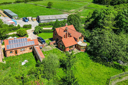
- Price
- £975,000
- Size
- 53 acres
North End Lane, South Kelsey, LN7, South Kelsey, Lincolnshire LN7 England
Added on 25/06/2026Equestrian property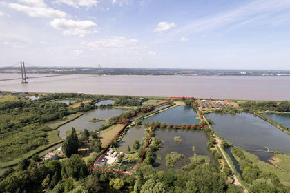
- Price
- £975,000
- Size
- 15 acres
Pasture Wood Fisheries, Barton-Upon-Humber, Barton, North Lincolnshire DN18 England
Added on 29/01/2026Fishery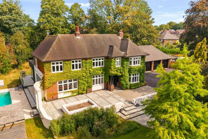
- Price
- Offers in Region of£799,000
- Size
- 1 acres
Augusta Street, Grimsby, DN34, Great Grimsby and Cleethorpes, North East Lincolnshire DN34 England
Added on 18/08/2026House with Land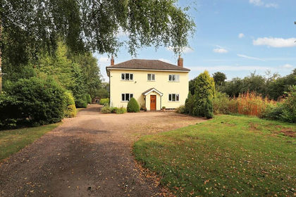
- Price
- Offers in Region of£725,000
- Size
- 5 acres
Bishopbridge, Market Rasen, Osgodby, Lincolnshire LN8 England
Added on 29/01/2026House with Land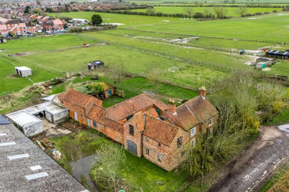
- Price
- £725,000
- Size
- 4.5 acres
South Lane, Middle Rasen, Market Rasen, Lincolnshire, LN8, Middle Rasen, Lincolnshire LN8 England
Added on 01/08/2026House with Land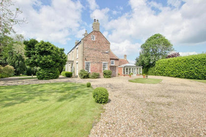
- Price
- Guide Price£795,000
- Size
- 1.2 acres
Back Lane, Burstwick, Hull, Burstwick, East Riding of Yorkshire HU12 England
Added on 29/01/2026House with Land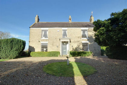
- Price
- £795,000
- Size
- 1.2 acres
Back Lane, Burstwick, Hull, Burstwick, East Riding of Yorkshire HU12 England
Added on 29/01/2026House with Land
- Price
- Offers in Region of£1,100,000
- Size
- 1 acres
Cave Road, Brough, HU15, Brantingham, East Riding of Yorkshire HU15 England
Added on 10/09/2026House with Land
- Price
- Guide Price£1,100,000
- Size
- 2 acres
Sand Pit Lane, Scunthorpe, DN15, Alkborough, North Lincolnshire DN15 England
Added on 27/03/2026Residential