
Barrington, Ilminster, TA19
- Land size
- 1 acres
- Bedrooms
- 4
- Bathrooms
- 2
Key Features
- Four Bedrooms
- Detached
- Grounds Approaching One Acre
- Double Garage and Worskhop
- Shepherds Hut & Outbuilding
- Parking
- Prestigious Village Location
- Beautifully Appointed Accommodation
Description
A truly impressive 4 bedroom detached home with versatile accommodation, plenty of further potential, outbuilding, garage and shepherds hut all occupying grounds approaching an acre within the very heart of one of South Somerset’s most sought after villages.
A substantial and versatile four bedroom detached residence with garage, outbuilding, parking and occupying grounds approaching one acre in the very heart of one of Somerset’s most desirable villages. In brief the property comprises an entrance hall, WC, sitting room, garden room, dining room/bar area and kitchen/dining room to the ground floor with four bedrooms (one ensuite) and a family bathroom to the first floor.
The current owners have presented the property to an exacting standard, combining style and contemporary design with character and welcoming accommodation. On entering New House Barn one is greeted by the spacious hallway which in turn leads to a rather unique and intimate bar-room or dining space, which could also be utilised as a study or reading room, depending on one’s needs and curerntly houses a grand piano.
The kitchen/dining room is very much the heart of the home with fabulous units, AGA, central island with the all-important integrated wine fridge and plenty of room for a large dining table. It’s a wonderful entertaining space for family and friends and has direct access outside via the stable door.
The sitting room is a relaxing setting to unwind throughout the seasons, particularly through the colder months thanks to a wood-burner offering practical warmth and a lovely focal point. Beyond the sitting room is the magnificent garden room, which surveys the extensive grounds and has bi-folding doors out to the patios, seamlessly blending inside with out.
There are four bedrooms to the first floor which are all considered to accommodate double beds with the master benefitting from ensuite facilities and the remainder of the bedrooms being serviced by the family bathroom. This impressive home would suit families and those looking to situate themselves one of the area’s most popular and prestigious villages. Viewings strongly recommended.
Barrington is one of South Somerset’s most favoured conservation villages and boasts an enviable position with easy access to excellent road links via the A303 and A358. The National Trust’s Barrington Court lies close to the village and is considered within walking distance whilst those with dogs and those who enjoy walking will find plenty of footpaths to explore. The Barrington Boar is a very popular pub with rooms
and excellent food and is just a short walk from the property whilst the Village Hall is a hive of activity and offers something for everyone to enjoy.
Directions
From Ilminster proceed north heading over the Beacon and down through Ashwell, passing over the A303. Continue on through Puckington and turn right onto Barrington on the bend. Head through the village passing the pub where New House Barn can be found a little way along on the left hand-side.
What3Words: spaceship.backup.blanked
The property is approached via a shared driveway in turn giving access to a private driveway for off-road parking. There is a large, detached garage with a workshop attached which is ideal for car enthusiasts and would work equally well as a gym, workshop, studio or, given the necessary consents, the potential to become a self-contained annex. The current owners have also added a shepherds hut at the end of the garden with power and water connected, serving as an ideal retreat or guest accomodation.
The grounds extend to almost an acre and are made up of sweeping lawns, an orchard, trees, patio and further complemented by mature shrubs, colourful flora and a wildlife pond. In addition to this is an attractive, detached, brick built out house which could serve a multitude of purposes.
The outside space is a magical playground for children, keen gardeners and those who enjoy sitting out in the warmer months. It’s an idyllic and private setting for alfresco dining and will be the envy of any guest.
Map Location
Property details
- Tenure
- Freehold
- Council Tax Band
- F
- Date Posted
- 2026-11-11
Market Value Analysis
Compared with 1,468 Homes with Land listings in South West England (1+ acres).
Energy Performance Certificate
Energy Efficiency Rating
Based on UK Energy Performance Certificate standards (EU Directive 2002/91/EC)
Running costs are one side. Planning activity, flood history and ground risks for this location are in the full report.
Property Brochure
Seen the details? The full report adds the independent checks: planning activity, flood history, heritage and ground.
Utilities & Restrictions
Utilities
- Electricity
- Ask Agent
- Water
- Ask Agent
- Heating
- Ask Agent
- Broadband
- Ask Agent
- Sewerage
- Ask Agent
Rights & Restrictions
- Public Rights of Way
- Ask Agent
- Private Rights of Way
- Ask Agent
- Listed Property
- Ask Agent
- Restrictions
- Ask Agent
Listed status, conservation areas and planning constraints for this location are in the full report.
Property Features
- Accessibility
- Ask Agent
- Parking
- Ask Agent
- Garden
- Ask Agent
Beyond the particulars: planning activity, flood history, heritage and ground risks, checked for this exact spot.
Connectivity
Broadband
Fastest speed available at this postcode
1.8 Gbps
Gigabit full fibre
Suitable for
- 4K streaming on every screen
- Full-time home working
- Online gaming & big downloads
Mobile signal
Predicted 4G and 5G signal; indoor signal depends on building materials.
Ofcom Connected Nations postcode-level predictions. Speeds and signal are modelled, not measured, and vary between addresses and providers.
Signal is the easy part. Planning activity, flood history and protected designations here are in the full report.
Nearest Schools
Primary
- Shepton Beauchamp Church School1 mileOfsted: Good *
- Ages
- 4 to 11
- Pupils
- 23
- Type
- Academy sponsor led
- Faith
- Church of England
- Hambridge Community Primary School1.9 milesNo Ofsted rating
- Ages
- 4 to 11
- Pupils
- 104
- Type
- Academy converter
- Kingsbury Episcopi Primary School2.4 milesNo Ofsted rating
- Ages
- 4 to 11
- Pupils
- 119
- Type
- Community school
- St Mary's & St Peter's Church School2.4 milesOfsted: Good *
- Ages
- 4 to 11
- Pupils
- 29
- Type
- Academy sponsor led
- Faith
- Church of England
- South Petherton Church of England Infants and Pre School2.8 milesOfsted: Good *
- Ages
- 2 to 7
- Pupils
- 102
- Type
- Voluntary aided school
- Faith
- Church of England
Secondary
- Huish Episcopi Academy5.9 milesOfsted report card · May 2026
- Ages
- 11 to 18
- Pupils
- 1,192
- Type
- Academy converter
- Wadham School6.1 milesOfsted: Requires improvement *
- Ages
- 11 to 16
- Pupils
- 763
- Type
- Voluntary controlled school
- Faith
- Church of England
- Stanchester Academy6.2 milesOfsted: Requires improvement *
- Ages
- 11 to 16
- Pupils
- 829
- Type
- Academy converter
- Holyrood Academy7.1 milesOfsted: Good
- Ages
- 11 to 18
- Pupils
- 1,282
- Type
- Academy converter
- Preston School Academy9.3 milesOfsted: Good
- Ages
- 11 to 16
- Pupils
- 1,003
- Type
- Academy converter
* Latest graded judgement covers quality of education only; no overall grade was issued under the 2024-25 inspection framework.
Distances are straight-line from the advertised location. Source: the national school registers (DfE, Welsh Government, Scottish Government) and Ofsted.
Schools are just the start: sold prices nearby, planning activity and any flood history are in the full report.
Amenities
Supermarket
GP surgery
Pharmacy
Hospital
Green space
Straight-line distances from the advertised location. Sources: NHS records, Geolytix supermarket locations, OS Open Greenspace and the national trails registers.
The area stacks up? Now check the location itself: planning nearby, protected designations and past flooding.
Getting Around
Nearest station
Nearest bus stop
Typical drive times
Straight-line distances from the advertised location; drive times are typical free-flow times over OpenStreetMap road data, so allow more at peak. Public transport locations from DfT NaPTAN.
Easy to reach matters. So do planning activity, flood history and ground risks: all in the full report.
Flood Risk
Environment Agency open data, checked around the advertised map pin for the listed acreage. Long-term risk counts flood defences; the planning map's flood zones do not. Provided by LandSale, not the listing agent, and not part of the agent's particulars. Risk varies across a holding, so verify before committing.
Rivers and the sea
Planning map: Flood Zone 1.
Surface water
These bandings are the summary. Where this location sits on the flood maps, plus planning activity, heritage and ground risks, is in the full report.
Important notice: Information, maps and tags on this page are drawn from the advertising agent's marketing materials or generated automatically. LandSale has not verified them. Relying on these details is at your own risk, always carry out independent checks before committing to a purchase.
LandSale full disclaimer
Marketing information only - not formal particulars. The details on this website are provided for general guidance and do not constitute an offer or contract. Neither LandSale nor the advertising estate/land agent accepts responsibility for any inaccuracy.
1. Source of information
- Listing content: Core description, asking price, tenure, measurements, photographs and planning history originate from the marketing materials of the advertising estate or land agent. LandSale does not author this content and cannot guarantee its accuracy.
- Automated tags & categorisation: Property type, land-use class, acreage bands and similar labels may be applied by machine-learning models. They are intended as a helpful guide only and may not reflect the property's legal status or permitted use.
- Third-party & enriched data layers: Maps, boundary outlines, planning designations, soil reports, broadband coverage and other environmental or location-based insights are licensed from external suppliers. Such data are supplied “as is", may be incomplete or out of date and are subject to change without notice.
2. Verification required
Prospective purchasers must verify critical matters, including but not limited to planning permission, title boundaries, public rights of way, environmental constraints, acreage, services, access and VAT status, through their own inspections, specialist surveys, legal advisers and the selling agent before relying on the information or entering into any contract.
3. No warranty or liability
LandSale gives no warranty, express or implied, as to the accuracy, completeness or fitness for any particular purpose of the information displayed. LandSale shall not be liable for any loss, damage, cost or expense arising directly or indirectly from any use of or reliance on such information, save where liability may not be excluded by law.
4. Updates & feedback
If you believe any detail on this listing is inaccurate, please let us know. We will investigate and, where appropriate, update the listing or notify the agent.
© LandSale | Version 1.3 - August 2026
Similar properties for sale
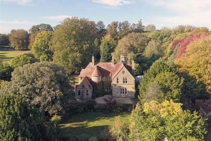
- Price
- Guide Price£785,000
- Size
- 1.2 acres
Shepton Beauchamp, Ilminster, Shepton Beauchamp, Somerset TA19 England
Added on 30/10/2026House with Land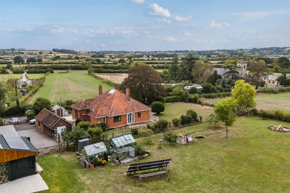
- Price
- Guide Price£699,995
- Size
- 1.37 acres
Hambridge, Langport, Hambridge and Westport, Somerset TA10 England
Added on 16/09/2026House with Land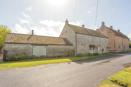
- Price
- Guide Price£825,000
- Size
- 1 acres
East Street, Drayton, Langport, Somerset, TA10, Drayton, Somerset TA10 England
Added on 25/04/2026Farmhouse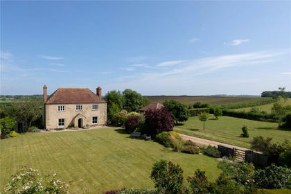
- Price
- Guide Price£945,000
- Size
- 11 acres
Muchelney, Langport, Somerset, TA10, Muchelney, Somerset TA10 England
Added on 18/06/2026House with Land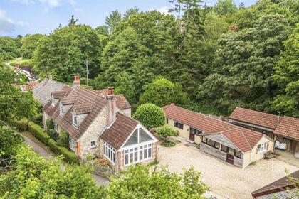
- Price
- Guide Price£795,000
- Size
- 3.09 acres
Added on 01/07/2026House with Land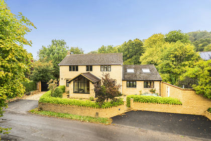
- Price
- Guide Price£925,000
- Size
- 1.71 acres
Little Norton, Norton Sub Hamdon, Stoke-Sub-Hamdon, TA14, Stoke-Sub-Hamdon, Somerset TA14 England
Added on 16/10/2026House with Land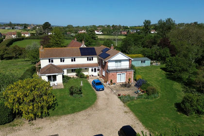
- Price
- Guide Price£850,000
- Size
- 1 acres
Windmill, Stoke St. Gregory, Taunton, TA3, Taunton, Somerset TA3 England
Added on 30/04/2026House with Land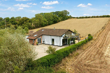
- Price
- £775,000
- Size
- 2.25 acres
Added on 28/08/2026Barn Conversion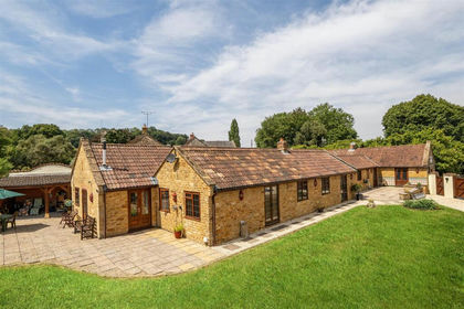
- Price
- Guide Price£975,000
- Size
- 0.27 acres
East Stoke, Stoke-Sub-Hamdon, Stoke sub Hamdon, Somerset TA14 England
Added on 31/07/2026Barn Conversion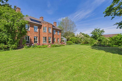
- Price
- £825,000
- Size
- 1 acres
Added on 29/05/2026House with Land