Thornbury Manor, Thornbury, Holsworthy, EX22
- Land size
- 15 acres
- Bedrooms
- 4
- Bathrooms
- 3
Key Features
- Thornbury Manor.
- Country house.
- 3,900 sft plus former holiday cottages.
- Extensive gardens and grounds.
- Meadow and woodland.
- Over 15 acres of land, including 8 acre field
Description
Property number 53748.
Set within almost 7 acres of wonderfully untamed gardens, meadow, orchard, and woodland, plus a field of just over 8 acres, Thornbury Manor is a remarkably handsome, unlisted country house that masterfully marries its 1850 origins as a simple Keeper’s Cottage with grander Victorian and Edwardian iterations. Spanning approximately 3,900 sq ft, the four-bedroom home has been thoughtfully restored by a conservation specialist using a palette of traditional materials—including local lime render, tectonic slate, and reclaimed materials—preserving a rich patina of history while offering a flexible, free-flowing canvas for modern living.
The History & Design: The west wing retains the evocative texture of the building's earliest days, complete with lime-washed stone walls, slate flagstones, and a winding cottage staircase. This opens into the later, grander principal rooms, defined by exceptional volume, wide circulation spaces, and a sequence of six magnificent south-facing bay windows and French doors that flood the interiors with light.
The Living Spaces: The ground floor is anchored by a vast, dual-aspect Drawing Room, a Sitting Room and a formal Dining Room, each connecting effortlessly to the gardens and to the sunny southern terrace. The heart of the home is a wonderfully social, traditional Devon kitchen, complete with a separated back-kitchen area and a wood-fired Esse range that provides both culinary focus and gentle warmth.
The Grounds: A romantic tapestry of mature and wilding grounds. The formal lawns roll into a wildflower meadow where wild flowers now flourish, punctuated by an exquisite Hartley Botanic ‘Victorian’ glasshouse and an established orchard and bluebell-filled woodland. The boundaries are protected by veteran sweet chestnuts, oak, and beech trees, creating a microclimate where wildlife thrives.
The Adjoining Field: Included with the estate is an additional, adjoining 8.4-acre field and shaw. Having been naturally wilding for several years, this south-east sloping landscape has become a vibrant sanctuary for self-seeded oaks, native fauna, and rare wild orchids. With mown paths woven through the tall grasses and dedicated spots to sit or camp, this parcel offers superb ecological merit alongside clear potential for equestrian or agricultural conversion.
Outbuildings & Scope: A pair of former holiday cottages offer immense potential for studio spaces, independent annexes, or holiday lets. Being unlisted, the manor offers rare flexibility for multi-generational living or off-grid, sustainable upgrades.
Services & Utilities: The home is connected to mains water and features high-speed fibre broadband connectivity and good mobile coverage. Background warmth is provided via an oil-fired central heating system alongside modern, efficient 'ecoburn' woodburning stoves and a wood-fired Esse range cooker, which provides hot water, heating and cooking facilities (with the estate's private woodland offering a self-sufficient fuel source). Drainage is handled via a private wastewater treatment plant with built-in capacity to support the future restoration of the holiday cottages, while an on-site well provides a sustainable backup for garden irrigation.
The Location: Thornbury Manor enjoys a private position accessed from a quiet public lane, perfectly balanced between countryside tranquility and town convenience. It sits just minutes from the busy market town of Holsworthy (home to a Waitrose) and within easy reach of several vibrant North Devon towns. The estate is also ideally positioned for exploring the dramatic open sandy beaches, rugged cliffs, and coves of the North Devon and Cornish coastlines, as well as the wild expanses of Dartmoor.
There are further photos on the weblink on Google Maps.
Map Location
Property details
- Tenure
- Freehold
- Council Tax Band
- Ask Agent
- Date Posted
- 2026-10-03
Market Value Analysis
Compared with 198 Homes with Land listings in South West England (10+ acres).
Utilities & Restrictions
Utilities
- Electricity
- Ask Agent
- Water
- Ask Agent
- Heating
- Ask Agent
- Broadband
- Ask Agent
- Sewerage
- Ask Agent
Rights & Restrictions
- Public Rights of Way
- Ask Agent
- Private Rights of Way
- Ask Agent
- Listed Property
- Ask Agent
- Restrictions
- Ask Agent
Listed status, conservation areas and planning constraints for this location are in the full report.
Property Features
- Accessibility
- Ask Agent
- Parking
- Ask Agent
- Garden
- Garden
Beyond the particulars: planning activity, flood history, heritage and ground risks, checked for this exact spot.
Connectivity
Broadband
Fastest speed available at this postcode
1.8 Gbps
Gigabit full fibre · available to 75% of premises
Suitable for
- 4K streaming on every screen
- Full-time home working
- Online gaming & big downloads
Fixed wireless access may also be an option here.
Mobile signal
Predicted 4G and 5G signal; indoor signal depends on building materials.
Ofcom Connected Nations postcode-level predictions. Speeds and signal are modelled, not measured, and vary between addresses and providers.
Signal is the easy part. Planning activity, flood history and protected designations here are in the full report.
Nearest Schools
Primary
- Bradford Primary School2.5 milesOfsted: Good
- Ages
- 2 to 11
- Pupils
- 24
- Type
- Academy converter
- Shebbear Community School2.9 milesNo Ofsted rating
- Ages
- 4 to 11
- Pupils
- 54
- Type
- Community school
- Holsworthy Church of England Primary School4.4 milesNo Ofsted rating
- Ages
- 0 to 11
- Pupils
- 338
- Type
- Voluntary controlled school
- Faith
- Church of England
- Black Torrington Church of England Primary School4.8 milesOfsted: Requires improvement
- Ages
- 4 to 11
- Pupils
- 3
- Type
- Academy converter
- Faith
- Church of England
- Langtree Community School and Nursery Unit5.4 milesNo Ofsted rating
- Ages
- 2 to 11
- Pupils
- 65
- Type
- Community school
Secondary
- Holsworthy Community College4.6 milesNo Ofsted rating
- Ages
- 11 to 16
- Pupils
- 551
- Type
- Academy converter
- Atlantic Academy8.9 milesOfsted: Good
- Ages
- 11 to 16
- Pupils
- 242
- Type
- Free schools
- Great Torrington School9.3 milesNo Ofsted rating
- Ages
- 11 to 16
- Pupils
- 863
- Type
- Academy converter
- Bideford College11 milesOfsted report card · May 2026
- Ages
- 11 to 18
- Pupils
- 1,455
- Type
- Academy sponsor led
- Budehaven Community School11 milesOfsted: Good
- Ages
- 11 to 18
- Pupils
- 1,145
- Type
- Foundation school
Distances are straight-line from the advertised location. Source: the national school registers (DfE, Welsh Government, Scottish Government) and Ofsted.
Schools are just the start: sold prices nearby, planning activity and any flood history are in the full report.
Amenities
Supermarket
GP surgery
Pharmacy
Hospital
Straight-line distances from the advertised location. Sources: NHS records, Geolytix supermarket locations, OS Open Greenspace and the national trails registers.
The area stacks up? Now check the location itself: planning nearby, protected designations and past flooding.
Getting Around
Nearest station
Nearest bus stop
Typical drive times
Straight-line distances from the advertised location; drive times are typical free-flow times over OpenStreetMap road data, so allow more at peak. Public transport locations from DfT NaPTAN.
Easy to reach matters. So do planning activity, flood history and ground risks: all in the full report.
Flood Risk
Environment Agency open data, checked around the advertised map pin for the listed acreage. Long-term risk counts flood defences; the planning map's flood zones do not. Provided by LandSale, not the listing agent, and not part of the agent's particulars. Risk varies across a holding, so verify before committing.
Rivers and the sea
Planning map: Flood Zone 1.
Surface water
Not at the pin: mapped about 100 metres away.
These bandings are the summary. Where this location sits on the flood maps, plus planning activity, heritage and ground risks, is in the full report.
Important notice: Information, maps and tags on this page are drawn from the advertising agent's marketing materials or generated automatically. LandSale has not verified them. Relying on these details is at your own risk, always carry out independent checks before committing to a purchase.
LandSale full disclaimer
Marketing information only - not formal particulars. The details on this website are provided for general guidance and do not constitute an offer or contract. Neither LandSale nor the advertising estate/land agent accepts responsibility for any inaccuracy.
1. Source of information
- Listing content: Core description, asking price, tenure, measurements, photographs and planning history originate from the marketing materials of the advertising estate or land agent. LandSale does not author this content and cannot guarantee its accuracy.
- Automated tags & categorisation: Property type, land-use class, acreage bands and similar labels may be applied by machine-learning models. They are intended as a helpful guide only and may not reflect the property's legal status or permitted use.
- Third-party & enriched data layers: Maps, boundary outlines, planning designations, soil reports, broadband coverage and other environmental or location-based insights are licensed from external suppliers. Such data are supplied “as is", may be incomplete or out of date and are subject to change without notice.
2. Verification required
Prospective purchasers must verify critical matters, including but not limited to planning permission, title boundaries, public rights of way, environmental constraints, acreage, services, access and VAT status, through their own inspections, specialist surveys, legal advisers and the selling agent before relying on the information or entering into any contract.
3. No warranty or liability
LandSale gives no warranty, express or implied, as to the accuracy, completeness or fitness for any particular purpose of the information displayed. LandSale shall not be liable for any loss, damage, cost or expense arising directly or indirectly from any use of or reliance on such information, save where liability may not be excluded by law.
4. Updates & feedback
If you believe any detail on this listing is inaccurate, please let us know. We will investigate and, where appropriate, update the listing or notify the agent.
© LandSale | Version 1.3 - August 2026
Listing agent
Visum, Nationwide
Web based Estate Agent
Similar properties for sale
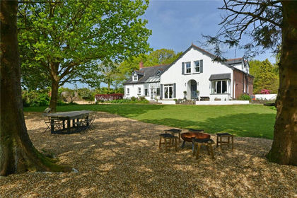
- Price
- Offers in Excess of£1,050,000
- Size
- 7 acres
Brandis Corner, Holsworthy, Devon, EX22, Bradford, Devon EX22 England
Added on 26/06/2026Country Home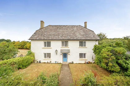
- Price
- £1,050,000
- Size
- 21 acres
Coxhall Mill Farm, Exbourne, Okehampton, Devon, EX20, Exbourne, Devon EX20 England
Added on 09/09/2026Country Home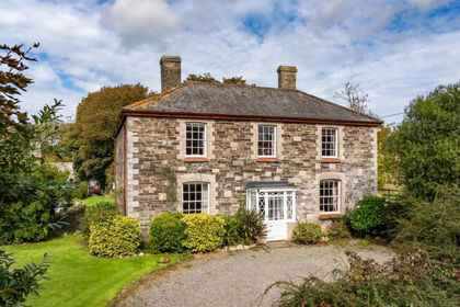
- Price
- Guide Price£1,550,000
- Size
- 40 acres
Added on 02/06/2026Country Estate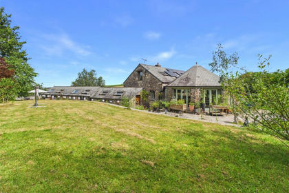
- Price
- £1,100,000
- Size
- 8 acres
Added on 24/07/2026House with Land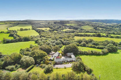
- Price
- £1,350,000
- Size
- 15.5 acres
Added on 23/03/2026Country Estate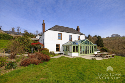
- Price
- Guide Price£1,250,000
- Size
- 21 acres
Morvah, Saltash, Cornwall, Landrake with St. Erney, Cornwall PL12 England
Added on 08/04/2026Farmhouse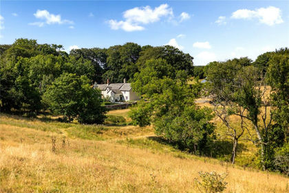
- Price
- Guide Price£1,500,000
- Size
- 29.6 acres
Exmoor National Park, Lynton, Devon, EX35, Lynton and Lynmouth, Devon EX35 England
Added on 02/08/2026House with Land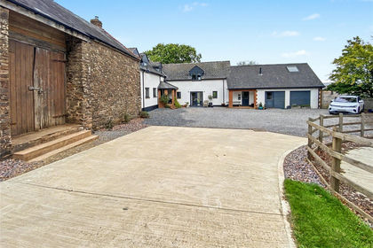
- Price
- Guide Price£950,000
- Size
- 8.25 acres
8.25 Acres Washfield, Tiverton, EX16, Tiverton, Devon EX16 England
Added on 25/09/2026Smallholding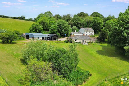
- Price
- £1,400,000
- Size
- 17 acres
Added on 29/05/2026House with Land