Brookland, Kent
- Land size
- 3 acres
- Bedrooms
- 9
- Bathrooms
- 5
Description
This remarkable six-bedroom, New England-style house sits on the Kent/East Sussex border, close to Rye and Camber Sands. With an expansive total footprint of over 6,500 sq ft, it encompasses four converted outbuildings plus a self contained annex in addition to a cottage set within almost three acres of gardens and meadows. Far-reaching views of the countryside lend a bucolic, secluded feel, with the sea and the boutiques, cafés and pubs of Rye both a 10-minute drive away.
This remarkable six-bedroom, New England-style house sits on the Kent/East Sussex border, close to Rye and Camber Sands. With an expansive total footprint of over 6,500 sq ft, it encompasses four converted outbuildings plus a self contained annex in addition to a cottage set within almost three acres of gardens and meadows. Far-reaching views of the countryside lend a bucolic, secluded feel, with the sea and the boutiques, cafés and pubs of Rye both a 10-minute drive away.
The Tour
Located just off a quiet country lane, there are two entrances to the grounds. The first is via a long, sweeping driveway that passes to the back of the house and provides ample parking. The second, for day-to-day use, is across a cobbled forecourt, with parking space just off the track beyond.
Entry to the house is through barn doors set into a clapboard wall, which leads to a luscious rose garden. Although its white-washed weatherboard face is typical of this part of Kent, it feels more Long Island, recalling Andy Warhol's Beach House complex in Montauk.
The house and its various outbuildings have been extensively used in photo and film shoots. When not used as a set, the home serves as a sprawling, generous space with plenty of overspill accommodation for relatives and guests, and creative spaces for art, yoga and the like.
A deck wraps Foster House with a verandah to one side, leading to an expansive, open-plan ground level with smoked oak floors, exposed beams and striking pitched ceilings. The kitchen rolls into the breakfast room, dining space and then living room, with a snug and a library just beyond.
The space of the main house measures over 3,000 sq ft and opens onto gardens and external seating areas from various points, creating a wonderful merging of inside and out. On the upper level of the main house are six bedrooms and three bathrooms, all beautifully decorated with white-washed walls, tongue-and-groove panelling and rustic period accents.
The self-contained barn is the largest of the outbuildings. Designed by an artist as a studio, it has an even, north-facing light. It is also largely open-plan, with soaring four-metre cathedral ceilings, white-washed floors, and enormous French doors that open onto a generous swimming pool with a meadow beyond. It has a kitchen centred around a vintage Aga and an en suite bathroom set behind engraved glass doors.
Just beyond and to the left of the pool are two cabins: The Beach Hut, currently used as a pool house/artist's retreat, and The Workshop, which serves as a creative studio and meditation space.
A picket fence and arching gates separates the main house from Willow Cottage, a beautiful, self-contained cabin with a kitchen, bathroom and bedroom. It also has its own gardens, verandah and hot tub. Beyond is a rustic log cabin, constructed with rough-cut timber, and an adjoining timber-clad studios.
Within the grounds, there is also a 1950s caravan and a vintage Airstream trailer.
Outdoor Space
A beautifully tended meadow and expansive garden wraps around Foster House. Peppered with colourful wildflowers and fruit-bearing trees, there are many outdoor spots to sit and read, dine, entertain or sunbathe by the pool. An incredibly tranquil and peaceful atmosphere characterises the setting, which feels exceptionally private and remote.
The Area
Brookland is situated a short drive north-east of the historic town of Rye, which has great restaurants – the George in Rye, The Fig and Standard Inn are particularly notable. There is also an independent cinema alongside a growing number of independent boutiques. Camber Sands is only a ten minute drive with its vast, 3 mile stretches of sandy beaches while Dungeness also sits only ten minutes away in the opposite direction.
The Old Town in Hastings is around 30 minutes away by car and is home to the Hastings Contemporary, as well as a wide variety of shops and restaurants. Folkstone can be reached within a similiar time frame, with its bustling Harbour Arm. It is also home to Anthony Gormley's famed sculptures and hosts a Triennial; a prestigeous art festival featuring artists from around the world.
Nearby Pett Level marks the end of the Royal Military Canal, a defensive structure that runs for 28 miles to Hythe in Kent, built in preparation for a possible invasion by Napoleon. The shallow lakes and reed beds of Pett Pools attract an enormous variety of breeding and over-wintering wildfowl and waterbirds. The Saxon Shore Way footpath (running from Gravesend in Kent to Hastings) is easily accessed and there are spectacular walks across the Rye Harbour Nature Reserve. Pett Level Beach is also nearby and great for swimming, with a sandy cove which stretches towards Winchelsea and Rye Harbour.
Winchelsea Beach is a quiet seaside village and shingle beach, superbly positioned for easy access to the many highlights of the East Sussex coastline. Dungeness and the beaches and dune of Camber Sands are also close by.
Ashford International Station’s high-speed connection to London St Pancras is only 20 minutes away by car offering Foster House a door to door journey to central London of just over 60 minutes. Alternatively, Rye Station is approximately 10 minutes away and has excellent connections, with branch-line train services to Brighton and Ashford.
Council Tax Band: C
Map Location
Property details
- Tenure
- Freehold
- Council Tax Band
- C
- Date Posted
- 2026-07-09
Market Value Analysis
Compared with 1,854 Homes with Land listings in South East England (1+ acres).
Energy Performance Certificate
Energy Efficiency Rating
Based on UK Energy Performance Certificate standards (EU Directive 2002/91/EC)
Running costs are one side. Planning activity, flood history and ground risks for this location are in the full report.
Utilities & Restrictions
Utilities
- Electricity
- Ask Agent
- Water
- Ask Agent
- Heating
- Ask Agent
- Broadband
- Ask Agent
- Sewerage
- Ask Agent
Rights & Restrictions
- Public Rights of Way
- Ask Agent
- Private Rights of Way
- Ask Agent
- Listed Property
- Ask Agent
- Restrictions
- Ask Agent
Listed status, conservation areas and planning constraints for this location are in the full report.
Property Features
- Accessibility
- Ask Agent
- Parking
- Parking Available
- Garden
- Garden
Beyond the particulars: planning activity, flood history, heritage and ground risks, checked for this exact spot.
Connectivity
Broadband
Fastest speed available at this postcode
21 Mbps
Standard (10-30 Mbps)
Suitable for
- Web & social
- Music streaming
- Standard video calls
Mobile signal
Outdoor predictions; indoor signal depends on building materials.
Ofcom Connected Nations postcode-level predictions. Speeds and signal are modelled, not measured, and vary between addresses and providers.
Signal is the easy part. Planning activity, flood history and protected designations here are in the full report.
Nearest Schools
Primary
- Brookland Church of England Primary School0.9 milesOfsted: Good
- Ages
- 4 to 11
- Pupils
- 94
- Type
- Voluntary controlled school
- Faith
- Church of England
- Brenzett Church of England Primary School1.5 milesNo Ofsted rating
- Ages
- 4 to 11
- Pupils
- 90
- Type
- Academy sponsor led
- Faith
- Church of England
- Lydd Primary School3.7 milesNo Ofsted rating
- Ages
- 3 to 11
- Pupils
- 230
- Type
- Academy sponsor led
- St Nicholas Church of England Primary Academy4.3 milesNo Ofsted rating
- Ages
- 4 to 11
- Pupils
- 412
- Type
- Academy sponsor led
- Faith
- Church of England
- St Michael's Church of England Primary School4.6 milesOfsted: Requires improvement *
- Ages
- 5 to 11
- Pupils
- 75
- Type
- Voluntary controlled school
- Faith
- Church of England
Secondary
- The Marsh Academy4.5 milesOfsted: Good
- Ages
- 11 to 18
- Pupils
- 1,019
- Type
- Academy sponsor led
- Rye College5.4 milesOfsted: Good
- Ages
- 11 to 16
- Pupils
- 645
- Type
- Academy converter
- Homewood School and Sixth Form Centre9.1 milesOfsted: Good
- Ages
- 11 to 18
- Pupils
- 1,772
- Type
- Academy converter
- The John Wallis Church of England Academy9.8 milesOfsted: Good
- Ages
- 3 to 19
- Pupils
- 1,650
- Type
- Academy sponsor led
- Faith
- Church of England
- Chilmington Green School10 milesOfsted report card · May 2026
- Ages
- 11 to 19
- Pupils
- 449
- Type
- Free schools
* Latest graded judgement covers quality of education only; no overall grade was issued under the 2024-25 inspection framework.
Distances are straight-line from the advertised location. Source: the national school registers (DfE, Welsh Government, Scottish Government) and Ofsted.
Schools are just the start: sold prices nearby, planning activity and any flood history are in the full report.
Amenities
Supermarket
GP surgery
Pharmacy
Hospital
Straight-line distances from the advertised location. Sources: NHS records, Geolytix supermarket locations, OS Open Greenspace and the national trails registers.
The area stacks up? Now check the location itself: planning nearby, protected designations and past flooding.
Getting Around
Nearest station
Nearest bus stop
Typical drive times
Straight-line distances from the advertised location; drive times are typical free-flow times over OpenStreetMap road data, so allow more at peak. Public transport locations from DfT NaPTAN.
Easy to reach matters. So do planning activity, flood history and ground risks: all in the full report.
Flood Risk
From Environment Agency flood map open data, checked around the advertised map pin and allowing for the listed acreage where known. This summary comes from LandSale, the advertising platform, not from the listing agent, and is not part of the agent's particulars. Risk can vary across a single holding, so verify anything critical through your own searches before committing.
Rivers and the sea
Surface water
The detail behind these bandings
The full report pinpoints where this location sits on the flood maps, and runs the deeper checks that usually only surface after an offer.
- Exact flood zones & annual chances (included in the full report)
- Any recorded past flooding (included in the full report)
- Planning activity nearby (included in the full report)
- Heritage & conservation (included in the full report)
- Protected nature designations (included in the full report)
- Ground risks (included in the full report)
- Sold prices nearby (included in the full report)
£14.99 · one-off purchase
By LandSale, the platform. Not provided by the listing agent. Ready in about a minute.
Important notice: Information, maps and tags on this page are drawn from the advertising agent's marketing materials or generated automatically. LandSale has not verified them. Relying on these details is at your own risk, always carry out independent checks before committing to a purchase.
LandSale full disclaimer
Marketing information only - not formal particulars. The details on this website are provided for general guidance and do not constitute an offer or contract. Neither LandSale nor the advertising estate/land agent accepts responsibility for any inaccuracy.
1. Source of information
- Listing content: Core description, asking price, tenure, measurements, photographs and planning history originate from the marketing materials of the advertising estate or land agent. LandSale does not author this content and cannot guarantee its accuracy.
- Automated tags & categorisation: Property type, land-use class, acreage bands and similar labels may be applied by machine-learning models. They are intended as a helpful guide only and may not reflect the property's legal status or permitted use.
- Third-party & enriched data layers: Maps, boundary outlines, planning designations, soil reports, broadband coverage and other environmental or location-based insights are licensed from external suppliers. Such data are supplied “as is", may be incomplete or out of date and are subject to change without notice.
2. Verification required
Prospective purchasers must verify critical matters, including but not limited to planning permission, title boundaries, public rights of way, environmental constraints, acreage, services, access and VAT status, through their own inspections, specialist surveys, legal advisers and the selling agent before relying on the information or entering into any contract.
3. No warranty or liability
LandSale gives no warranty, express or implied, as to the accuracy, completeness or fitness for any particular purpose of the information displayed. LandSale shall not be liable for any loss, damage, cost or expense arising directly or indirectly from any use of or reliance on such information, save where liability may not be excluded by law.
4. Updates & feedback
If you believe any detail on this listing is inaccurate, please let us know. We will investigate and, where appropriate, update the listing or notify the agent.
© LandSale | Version 1.3 - August 2026
Listing agent
The Modern House, London
St Alphege Hall Kings Bench Street London SE1 0QX
Contact The Modern House, London
St Alphege Hall Kings Bench Street London SE1 0QX
View agent profileSimilar properties for sale
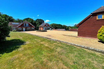
- Price
- Guide Price£1,795,950
- Size
- 7.51 acres
Pannel Lane, Pett, Hastings, East Sussex, TN35, Pett, East Sussex TN35 England
Added on 28/01/2026Country Estate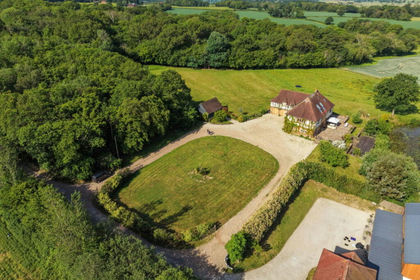
- Price
- £1,750,000
- Size
- 3.66 acres
Crockers Lane, Northiam, Rye, TN31, Northiam, East Sussex TN31 England
Added on 04/06/2026Country Home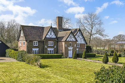
- Price
- Guide Price£1,695,000
- Size
- 3.5 acres
Bugglesden Road, St. Michaels, TN30, Tenterden, Kent TN30 England
Added on 11/05/2026Country Home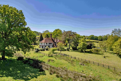
- Price
- Guide Price£2,500,000
- Size
- 72.51 acres
Lot 1- Conster Manor, Broad Oak, Nr Rye, Brede, East Sussex TN31 England
Added on 29/01/2026Country Estate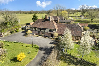
- Price
- Offers Over£1,750,000
- Size
- 17 acres
Bethersden, Ashford, Kent, TN26, Bethersden, Kent TN26 England
Added on 09/04/2026Country Home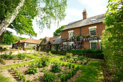
- Price
- Guide Price£1,995,995
- Size
- 5.67 acres
Dingleden, Benenden, Cranbrook, Kent, TN17, Benenden, Kent TN17 England
Added on 29/01/2026Country Home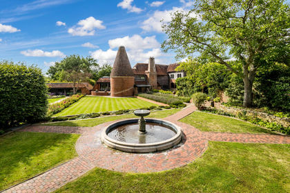
- Price
- Guide Price£1,950,000
- Size
- 2 acres
Added on 03/06/2026House with Land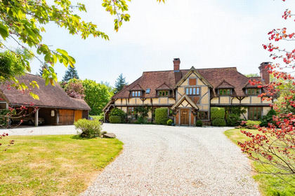
- Price
- £1,995,000
- Size
- 5 acres
Hayne Barn Estate, Saltwood, CT21, Saltwood, Kent CT21 England
Added on 17/05/2026Country Estate
- Price
- Guide Price£2,250,000
- Size
- 1.38 acres
Walkhurst Road, Benenden, Cranbrook, Kent, TN17, Benenden, Kent TN17 England
Added on 20/07/2026House with Land
- Price
- £1,750,000
- Size
- 9.75 acres
East Brabourne, Ashford, Kent, TN25, Brabourne, Kent TN25 England
Added on 11/07/2026House with Land