Llandegla Road, Llanarmon-Yn-Ial, CH7
- Land size
- 3.5 acres
- Bedrooms
- 5
- Bathrooms
- 3
Key Features
- Stunning Stone Built 3297 square feet family home
- Located in the Beautiful Village of Llanarmon-Yn-Ial
- Uninterrupted Views of the Vale of Clywd AONB
- High Quality Finish Throughout
- Beautiful Open Plan Kitchen Diner
- 837 Square Feet Detached Barn with development potential
- Obvious Scope for Multi-Generational Living
- Land of circa 3.5 acres comprising garden paddock and woodland
- Close to Mold, Ruthin and Wrexham
- EPC Rating: 73C
Description
Comment from Robert Reed of Gascoigne Halman
I grew up in the Vale of Clwyd and have always loved selling individual property in the locality. It is a wonderful place to bring up children and this gloriously positioned home with magnificent views provides a unique and special lifestyle opportunity.
This unique five bedroom detached residence offers an attractive blend of ample space, tremendous flexibility and rural tranquillity. The home was built to an outstanding specification by one of the region’s most respected craftsmen, with a design that fully captures the views while delivering excellent contemporary living concepts.
Inside, the home is filled with natural light and rich light oak detailing, showcasing exceptional build quality throughout. State of the art comforts include a ground source underfloor heating system, ensuring consistent efficiency and warmth.
The property is accessed from a private driveway, through electric gates, with circa two acres of woodland which provides security and separation from the road and it should be noted that the property cannot be seen from the lane.
There is extensive parking and a banked area to one side with wild garden area above. Opposite is a stone wall with a well planted wild garden area which has trees and flowering shrubs. The property also offers a paddock area which offers views of the fabulous fields beyond. The stone built barn has five doors to the front and four front facing windows above. It is presently used as storage and has huge scope for further development, subject to planning consent being granted.
Chester (22 miles), Ruthin and Mold (both 7 miles) are all accessible from this location thereby combining the best of rural life with the best of daily accessibility and amenities.
For a personal description or to book a viewing appointment, please contact the Gascoigne Halman Tarporley office.
Accommodation and dimensions
As detailed on the floorplan.
Location
Llanarmon-yn-Iâl is a picturesque village in Denbighshire, Wales, located about seven miles from both the market town of Mold and the historic hilltop town of Ruthin. Both have supermarkets, schools and other amenities. Chester City Centre is 22 miles away. It sits in the River Alyn valley within the Clwydian Range and Dee Valley National Landscape.
Correctly regarded as one of the most desirable villages in this part of North Wales, it is celebrated for its chocolate-box appeal, deep historical roots, and active, welcoming community.
The Raven Inn is acommunity-owned pub, featuring excellent food, a warm, cozy atmosphere, real ales, and regular live music and quiz nights, Residents and visitors are supported by a superb Community Shop, which serves fantastic coffee, fresh baked goods, and local produce and is superbly run by volunteers.
The village centres around St Garmon's Church, a beautiful foundation that has stood since the medieval period, housing ancient memorials dating back to 1320 and has a super community choir.
Sitting just off the famous Offa's Dyke Path, the surrounding limestone country of the River Alyn is perfect for exploring ancient drovers' roads and trails up the nearby Moel Famau.
Directions
What Three Words: ///spared.unfocused.luxury
Tenure / Services / Viewing /
TENURE We believe the property is freehold tenure, this will be confirmed as part of the legal process.
SERVICES The house is under floor heated and this is provided by a ground source heat pump. The single storey annexe is served by oil central heating through radiators. Private drainage complaint with 2020 binding rules. Mains water and electricity.
VIEWING Viewing by appointment with the Agents Tarporley office.
WANT TO MOVE BUT NEED TO SELL?
If you are interested in this property but need to sell your own home in Cheshire, South Manchester or the Peak District, Gascoigne Halman can provide a free, no obligation market appraisal and valuation of your own home. We are proud to be the leading estate agent in the area, with a network of twenty three offices - full contact details can be located on our website. Robert Reed is the manager of the Tarporley office.
The Tarporley team consists of Robert, Pamela, Oliver, Sally Tresa, Sam, Lydia, Yvonne and Clive - we pride ourselves on being not just professional and efficient but also warm and welcoming. If you are in the village and fancy a coffee, do come in and say hello. We are located at 62 High Street, Tarporley, six premises to the left of Tarporley Parish Church. Our building is a landmark in the village, having above the shop front a beautiful illuminated fully working heritage clock.
NOTICE
Gascoigne Halman for themselves and for the vendors or lessors of this property whose agents they are given notice that: (i) the particulars are set out as a general outline only for the guidance of intending purchasers or lessees, and do not constitute, nor constitute part of, an offer or contract; (ii) all descriptions, dimensions, references to condition and necessary permissions for use and occupation, and other details are given in good faith and are believed to be correct but any intending purchasers or tenants should not rely on them as statements or representations of fact but must satisfy themselves by inspection or otherwise as to the correctness of each of them; (iii) no person in the employment of Gascoigne Halman has any authority to make or give any representation or warranty whatever in relation to this property
EPC Rating: C
Parking - Driveway
Plenty of parking space.
Map Location
Property details
- Tenure
- Freehold
- Council Tax Band
- G
- Date Posted
- 2026-07-05
Market Value Analysis
Compared with 1,197 Homes with Land listings in Wales (1+ acres).
Energy Performance Certificate
Energy Efficiency Rating
Based on UK Energy Performance Certificate standards (EU Directive 2002/91/EC)
Running costs are one side. Planning activity, flood history and ground risks for this location are in the full report.
Utilities & Restrictions
Utilities
- Electricity
- Mains
- Water
- Mains
- Heating
- Ground Source Heat Pump, Oil Heating
- Broadband
- Fibre (FTTC)
- Sewerage
- Septic Tank / Private
Rights & Restrictions
- Public Rights of Way
- Ask Agent
- Private Rights of Way
- Ask Agent
- Listed Property
- Ask Agent
- Restrictions
- Ask Agent
Listed status, conservation areas and planning constraints for this location are in the full report.
Property Features
- Accessibility
- Ask Agent
- Parking
- Driveway
- Garden
- Garden
Beyond the particulars: planning activity, flood history, heritage and ground risks, checked for this exact spot.
Connectivity
Broadband
Fastest speed available at this postcode
1.8 Gbps
Gigabit full fibre
Suitable for
- 4K streaming on every screen
- Full-time home working
- Online gaming & big downloads
Mobile signal
Outdoor predictions; indoor signal depends on building materials.
Ofcom Connected Nations postcode-level predictions. Speeds and signal are modelled, not measured, and vary between addresses and providers.
Signal is the easy part. Planning activity, flood history and protected designations here are in the full report.
Nearest Schools
Primary
- Ysgol Dyffryn Ial1.1 miles
- Pupils
- 42
- Type
- Nursery, Infants & Juniors
- Language
- Dual language school / provision (Welsh and English) (including transitional)
- Ysgol Bro Famau1.9 miles
- Pupils
- 61
- Type
- Nursery, Infants & Juniors
- Language
- English medium school / provision
- Ysgol Pentrecelyn2.5 miles
- Pupils
- 27
- Type
- Nursery, Infants & Juniors
- Language
- Welsh medium school / provision (including transitional)
- Ysgol Llanfair Dyffryn Clwyd3.5 miles
- Pupils
- 122
- Type
- Nursery, Infants & Juniors
- Language
- Dual language school / provision (Welsh and English) (including transitional)
- Ysgol Terrig4.8 miles
- Pupils
- 97
- Type
- Nursery, Infants & Juniors
- Language
- Welsh medium school / provision (including transitional)
Secondary
- Ysgol Brynhyfryd4.4 miles
- Pupils
- 1,121
- Type
- Secondary (ages 11-19)
- Language
- Dual language school / provision (Welsh and English) (including transitional)
- Alun School6.6 miles
- Pupils
- 1,480
- Type
- Secondary (ages 11-19)
- Language
- English medium school / provision
- Maes Garmon6.7 miles
- Pupils
- 578
- Type
- Secondary (ages 11-19)
- Language
- Welsh medium school / provision (including transitional)
- Ysgol Dinas Bran7.4 miles
- Pupils
- 1,022
- Type
- Secondary (ages 11-19)
- Language
- Dual language school / provision (Welsh and English) (including transitional)
- Grango7.8 miles
- Pupils
- 580
- Type
- Secondary (ages 11-16)
- Language
- English medium school / provision
Distances are straight-line from the advertised location. Source: the national school registers (DfE, Welsh Government, Scottish Government) and Ofsted.
Schools are just the start: sold prices nearby, planning activity and any flood history are in the full report.
Amenities
Supermarket
GP surgery
Pharmacy
Walking trail
Straight-line distances from the advertised location. Sources: NHS records, Geolytix supermarket locations, OS Open Greenspace and the national trails registers.
The area stacks up? Now check the location itself: planning nearby, protected designations and past flooding.
Getting Around
Nearest station
Nearest bus stop
Typical drive times
Straight-line distances from the advertised location; drive times are typical free-flow times over OpenStreetMap road data, so allow more at peak. Public transport locations from DfT NaPTAN.
Easy to reach matters. So do planning activity, flood history and ground risks: all in the full report.
Flood Risk
From Natural Resources Wales flood map open data, checked around the advertised map pin and allowing for the listed acreage where known. This summary comes from LandSale, the advertising platform, not from the listing agent, and is not part of the agent's particulars. Risk can vary across a single holding, so verify anything critical through your own searches before committing.
Rivers and the sea
Surface water
The detail behind these bandings
The full report pinpoints where this location sits on the flood maps, and runs the deeper checks that usually only surface after an offer.
- Exact flood zones & annual chances (included in the full report)
- Any recorded past flooding (included in the full report)
- Planning activity nearby (included in the full report)
- Heritage & conservation (included in the full report)
- Protected nature designations (included in the full report)
- Ground risks (included in the full report)
- Sold prices nearby (included in the full report)
£14.99 · one-off purchase
By LandSale, the platform. Not provided by the listing agent. Ready in about a minute.
Important notice: Information, maps and tags on this page are drawn from the advertising agent's marketing materials or generated automatically. LandSale has not verified them. Relying on these details is at your own risk, always carry out independent checks before committing to a purchase.
LandSale full disclaimer
Marketing information only - not formal particulars. The details on this website are provided for general guidance and do not constitute an offer or contract. Neither LandSale nor the advertising estate/land agent accepts responsibility for any inaccuracy.
1. Source of information
- Listing content: Core description, asking price, tenure, measurements, photographs and planning history originate from the marketing materials of the advertising estate or land agent. LandSale does not author this content and cannot guarantee its accuracy.
- Automated tags & categorisation: Property type, land-use class, acreage bands and similar labels may be applied by machine-learning models. They are intended as a helpful guide only and may not reflect the property's legal status or permitted use.
- Third-party & enriched data layers: Maps, boundary outlines, planning designations, soil reports, broadband coverage and other environmental or location-based insights are licensed from external suppliers. Such data are supplied “as is", may be incomplete or out of date and are subject to change without notice.
2. Verification required
Prospective purchasers must verify critical matters, including but not limited to planning permission, title boundaries, public rights of way, environmental constraints, acreage, services, access and VAT status, through their own inspections, specialist surveys, legal advisers and the selling agent before relying on the information or entering into any contract.
3. No warranty or liability
LandSale gives no warranty, express or implied, as to the accuracy, completeness or fitness for any particular purpose of the information displayed. LandSale shall not be liable for any loss, damage, cost or expense arising directly or indirectly from any use of or reliance on such information, save where liability may not be excluded by law.
4. Updates & feedback
If you believe any detail on this listing is inaccurate, please let us know. We will investigate and, where appropriate, update the listing or notify the agent.
© LandSale | Version 1.3 - August 2026
Listing agent
Gascoigne Halman, Tarporley
62 High Street, Tarporley, CW6 0AG
Similar properties for sale
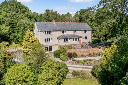
- Price
- Offers in Excess of£700,000
- Size
- 1.63 acres
Llanarmon-yn-Ial, Mold, Denbighshire, Llanarmon-yn-Ial, Denbighshire CH7 Wales
Added on 29/01/2026House with Land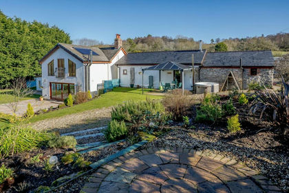
- Price
- Offers Over£985,000
- Size
- 7.5 acres
Glan Llyn Farmhouse, Pant Du Road, Mold, CH7, Llanarmon-yn-Ial, Denbighshire CH7 Wales
Added on 29/01/2026Farmhouse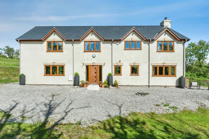
- Price
- £975,000
- Size
- 3 acres
Pant Du Road, Eryrys, Mold, Denbighshire, CH7, Llanarmon-yn-Ial, Denbighshire CH7 Wales
Added on 22/06/2026House with Land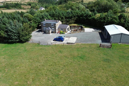
- Price
- £750,000
- Size
- 6 acres
Added on 08/08/2026House with Land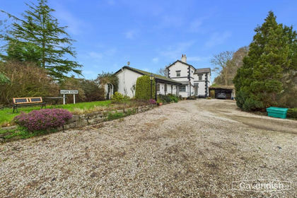
- Price
- Offers in Region of£825,000
- Size
- 2.43 acres
Llanfair Dyffryn Clwyd, Ruthin, Llanfair Dyffryn Clwyd, Denbighshire LL15 Wales
Added on 29/01/2026Country Home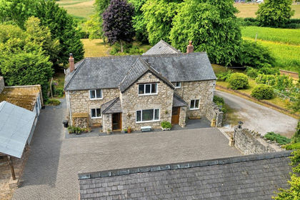
- Price
- £700,000
- Size
- 1.17 acres
Llanfair Dyffryn Clwyd, Ruthin, Llanfair Dyffryn Clwyd, Denbighshire LL15 Wales
Added on 12/08/2026House with Land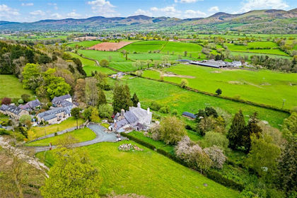
- Price
- Guide Price£795,000
- Size
- 1.62 acres
Llanfair Dyffryn Clwyd, Ruthin, Denbighshire, Llanfair Dyffryn Clwyd, Denbighshire LL15 Wales
Added on 21/05/2026House with Land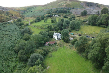
- Price
- Offers Over£700,000
- Size
- 45 acres
Horseshoe Pass, Llangollen, Llantysilio, Denbighshire LL20 Wales
Added on 29/01/2026Smallholding
- Price
- Guide Price£850,000
- Size
- 1.16 acres
Added on 25/02/2026Barn Conversion
- Price
- £850,000
- Size
- 144.65 acres
Tan Y Fron Lane, Llangollen, Llantysilio, Denbighshire LL20 Wales
Added on 20/08/2026House with Land