Sunningdale
- Land size
- 11.5 acres
- Bedrooms
- 14
- Bathrooms
- 7
Key Features
- Occupying one of Sunningdale's most secluded positions and set in grounds of 11.5 acres
- Benefitting from sensitive refurbishment preserving historic character with considered contemporary comforts.
- Accommodation of approximately 14,584 sq ft including beautifully proportioned rooms with soaring ceilings
- Generous and extensive bedrooms including principle suite with dressing room and bathroom
- Substantial self-contained staff apartment providing flexibility for guest, live -in staff or multi-generational living
- Restoration of principle floors undertaken with the involvement of Lady Henrietta Spencer- Churchill
- Exceptional grounds made up of formal lawns, framed by mature woodland, and established planting
- Ample outdoor entertaining space including stone terraces and winding paths into secluded woodland
- Outdoor swimming pool and water garden with interconnected ponds offering potential for further restoration
- Garage block, workshop and additional outbuildings offering ancillary accommodation and storage
Description
The most exceptional site in Sunningdale, an 11.5 acre island in the middle of the golf courses
Hidden behind private gates and approached by a long, tree-lined driveway, Windsor Manor occupies one of Sunningdale's most secluded positions. Surrounded by approximately 11.5 acres of private grounds and bordered on three sides by Sunningdale Heath Golf Club, the estate combines remarkable privacy with excellent access to central London, Ascot and the wider Surrey countryside. The house has recently undergone a sensitive refurbishment, preserving its historic character while introducing carefully considered contemporary comforts.
The kitchen and breakfast room have been updated as part of the recent refurbishment and sit alongside utility rooms and ancillary accommodation. A substantial self-contained staff apartment provides excellent flexibility for guests, live-in staff or multi-generational living.
The first floor is arranged around a generous landing and provides a principal suite with dressing room and bathroom, together with a collection of further bedrooms and bathrooms. In total, the house offers extensive sleeping accommodation suitable for large families, visiting guests or staff. The upper floor remains largely unfinished, presenting an opportunity for a future owner to create additional bedroom suites, leisure facilities or bespoke accommodation according to their own requirements.
Outside, the grounds are a defining feature of the estate. Formal lawns extend away from the house, framed by mature woodland and established planting. Stone terraces provide ample space for outdoor entertaining, while winding paths lead through the private woodland to a series of secluded garden areas.
Situation
Situated in woodland surrounded by Sunningdale Golf Courses. The property is conveniently situated for local amenities and is only a short distance from Sunningdale village centre with its shops catering for day-to-day needs, a Waitrose store, restaurants and a train station. The towns of Windsor, Camberley, Guildford and Reading offer more extensive shopping and leisure facilities and are within easy reach.
The property is well-placed for commuting with rail links available to London from Sunningdale and Ascot stations. The M3 (J3) and the M25 (J13) provide good road links to London, the West Country, Heathrow and Gatwick Airports.
There are numerous leisure facilities in the area including golf at Sunningdale, Wentworth, Swinley Forest and The Berkshire, racing at Ascot and Windsor, in addition to polo at Smiths Lawn, Windsor Great Park and the Royal County of Berkshire Polo Club. Excellent spa facilities may be enjoyed at Pennyhill Park, Coworth Park, Wentworth, Foxhills and The Berystede. Virginia Water Lake, Savill Garden, Windsor Great Park, Windsor Castle and Legoland, all provide good days out for all the family.
The area boasts numerous excellent schools including Wellington College, St. Mary's, St. George's, Papplewick, The Marist Schools, Woodcote House, Hall Grove and Coworth Flexlands. For international schooling, TASIS (The American School) and ACS (American Community School) are within easy reach.
Tenure
Freehold - please note this property has a restrictive covenant in favour of St John College, further details are available upon request to the agent
Council tax band
H
EPC
F38
Fixtures and Fittings
Carpets, curtains and light fittings by negotiation
Local Authority
Surrey Heath
Map Location
Property details
- Tenure
- Ask Agent
- Council Tax Band
- TBC
- Date Posted
- 2026-06-30
Market Value Analysis
Compared with 172 Homes with Land listings in South East England (10+ acres).
Energy Performance Certificate
Energy Efficiency Rating
Based on UK Energy Performance Certificate standards (EU Directive 2002/91/EC)
Running costs are one side. Planning activity, flood history and ground risks for this location are in the full report.
Utilities & Restrictions
Utilities
- Electricity
- Ask Agent
- Water
- Ask Agent
- Heating
- Ask Agent
- Broadband
- Ask Agent
- Sewerage
- Ask Agent
Rights & Restrictions
- Public Rights of Way
- Ask Agent
- Private Rights of Way
- Ask Agent
- Listed Property
- Ask Agent
- Restrictions
- Ask Agent
Listed status, conservation areas and planning constraints for this location are in the full report.
Property Features
- Accessibility
- Ask Agent
- Parking
- Parking Available
- Garden
- Garden
Beyond the particulars: planning activity, flood history, heritage and ground risks, checked for this exact spot.
Connectivity
Broadband
Fastest speed available at this postcode
80 Mbps
Superfast
Suitable for
- HD streaming
- Video calls
- Web & social
Mobile signal
Predicted 4G and 5G signal; indoor signal depends on building materials.
Ofcom Connected Nations postcode-level predictions. Speeds and signal are modelled, not measured, and vary between addresses and providers.
Signal is the easy part. Planning activity, flood history and protected designations here are in the full report.
Nearest Schools
Primary
- Holy Trinity CofE Primary School, Sunningdale1.2 milesNo Ofsted rating
- Ages
- 4 to 11
- Pupils
- 211
- Type
- Voluntary aided school
- Faith
- Church of England
- Windlesham Village Infant School1.3 milesOfsted: Good
- Ages
- 4 to 7
- Pupils
- 68
- Type
- Academy converter
- St Michael's CofE Primary School, Sunninghill1.4 milesNo Ofsted rating
- Ages
- 5 to 11
- Pupils
- 194
- Type
- Voluntary aided school
- Faith
- Church of England
- Valley End CofE Infant School1.4 milesOfsted: Outstanding *
- Ages
- 5 to 7
- Pupils
- 163
- Type
- Academy converter
- Faith
- Church of England
- St Francis Catholic Primary School, South Ascot1.5 milesOfsted: Outstanding
- Ages
- 4 to 11
- Pupils
- 210
- Type
- Academy converter
- Faith
- Roman Catholic
Secondary
- Charters School0.7 milesOfsted: Good
- Ages
- 11 to 18
- Pupils
- 1,707
- Type
- Academy converter
- Gordon's School2.7 milesOfsted: Outstanding *
- Ages
- 11 to 18
- Pupils
- 988
- Type
- Academy converter
- Collingwood College4 milesOfsted report card · Apr 2026
- Ages
- 11 to 18
- Pupils
- 1,617
- Type
- Academy converter
- Ranelagh School4.7 milesOfsted: Outstanding *
- Ages
- 11 to 18
- Pupils
- 1,138
- Type
- Academy converter
- Faith
- Church of England
- The Brakenhale School4.8 milesNo Ofsted rating
- Ages
- 11 to 18
- Pupils
- 1,001
- Type
- Academy sponsor led
* Latest graded judgement covers quality of education only; no overall grade was issued under the 2024-25 inspection framework.
Distances are straight-line from the advertised location. Source: the national school registers (DfE, Welsh Government, Scottish Government) and Ofsted.
Schools are just the start: sold prices nearby, planning activity and any flood history are in the full report.
Amenities
Supermarket
GP surgery
Pharmacy
Hospital
Straight-line distances from the advertised location. Sources: NHS records, Geolytix supermarket locations, OS Open Greenspace and the national trails registers.
The area stacks up? Now check the location itself: planning nearby, protected designations and past flooding.
Getting Around
Nearest station
Nearest bus stop
Typical drive times
Straight-line distances from the advertised location; drive times are typical free-flow times over OpenStreetMap road data, so allow more at peak. Public transport locations from DfT NaPTAN.
Easy to reach matters. So do planning activity, flood history and ground risks: all in the full report.
Flood Risk
Environment Agency open data, checked around the advertised map pin for the listed acreage. Long-term risk counts flood defences; the planning map's flood zones do not. The map pin for this listing is approximate, so these readings describe the surrounding area. Provided by LandSale, not the listing agent, and not part of the agent's particulars. Risk varies across a holding, so verify before committing.
Rivers and the sea
Planning map: Flood Zone 1.
Surface water
Not at the pin: mapped about 110 metres away.
These bandings are the summary. Where this location sits on the flood maps, plus planning activity, heritage and ground risks, is in the full report.
Important notice: Information, maps and tags on this page are drawn from the advertising agent's marketing materials or generated automatically. LandSale has not verified them. Relying on these details is at your own risk, always carry out independent checks before committing to a purchase.
LandSale full disclaimer
Marketing information only - not formal particulars. The details on this website are provided for general guidance and do not constitute an offer or contract. Neither LandSale nor the advertising estate/land agent accepts responsibility for any inaccuracy.
1. Source of information
- Listing content: Core description, asking price, tenure, measurements, photographs and planning history originate from the marketing materials of the advertising estate or land agent. LandSale does not author this content and cannot guarantee its accuracy.
- Automated tags & categorisation: Property type, land-use class, acreage bands and similar labels may be applied by machine-learning models. They are intended as a helpful guide only and may not reflect the property's legal status or permitted use.
- Third-party & enriched data layers: Maps, boundary outlines, planning designations, soil reports, broadband coverage and other environmental or location-based insights are licensed from external suppliers. Such data are supplied “as is", may be incomplete or out of date and are subject to change without notice.
2. Verification required
Prospective purchasers must verify critical matters, including but not limited to planning permission, title boundaries, public rights of way, environmental constraints, acreage, services, access and VAT status, through their own inspections, specialist surveys, legal advisers and the selling agent before relying on the information or entering into any contract.
3. No warranty or liability
LandSale gives no warranty, express or implied, as to the accuracy, completeness or fitness for any particular purpose of the information displayed. LandSale shall not be liable for any loss, damage, cost or expense arising directly or indirectly from any use of or reliance on such information, save where liability may not be excluded by law.
4. Updates & feedback
If you believe any detail on this listing is inaccurate, please let us know. We will investigate and, where appropriate, update the listing or notify the agent.
© LandSale | Version 1.3 - August 2026
Listing agent
Barton Wyatt, Virginia Water
2 Station Approach, Virginia Water, GU25 4DL
Similar properties for sale
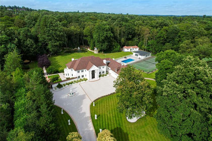
- Price
- £7,250,000
- Size
- 5 acres
Byfleet Road, Cobham, KT11, Runnymede and Weybridge, Surrey KT11 England
Added on 30/07/2026Country Estate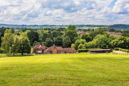
- Price
- Guide Price£6,250,000
- Size
- 11 acres
The Green, Shamley Green, Guildford, Surrey, GU5, Wonersh, Surrey GU5 England
Added on 10/06/2026Country Home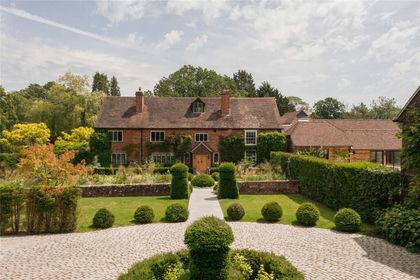
- Price
- Guide Price£7,500,000
- Size
- 15.37 acres
Elmbridge Road, Cranleigh, Surrey, GU6, Cranleigh, Surrey GU6 England
Added on 17/07/2026Country Home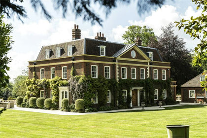
- Price
- Guide Price£8,950,000
- Size
- 9.7 acres
Fawley, Henley-On-Thames, Oxfordshire, RG9, Fawley, Buckinghamshire RG9 England
Added on 05/06/2026House with Land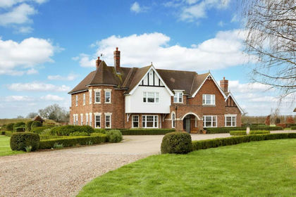
- Price
- Offers in Excess of£8,250,000
- Size
- 40 acres
Chenies Hill, Latimer, HP5, Flaunden, Hertfordshire HP5 England
Added on 19/03/2026Stately Home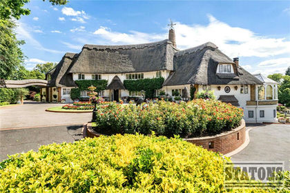
- Price
- £7,000,000
- Size
- 6 acres
Nan Clarks Lane, London, NW7, Chipping Barnet, Barnet NW7 England
Added on 18/08/2026House with Land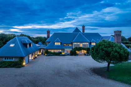
- Price
- Guide Price£6,250,000
- Size
- 15.8 acres
Coolham Road, Thakeham, Pulborough, West Sussex, RH20, Thakeham, West Sussex RH20 England
Added on 20/03/2026Country Estate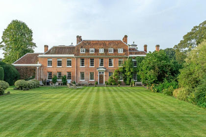
- Price
- Guide Price£9,750,000
- Size
- 17.5 acres
Hunton Down Lane, Winchester, Hampshire, SO21, Wonston, Hampshire SO21 England
Added on 29/01/2026Country Estate
- Price
- £9,500,000
- Size
- 21 acres
Ayot St. Peter, Welwyn, Ayot St Peter, Hertfordshire AL6 England
Added on 08/06/2026Country Estate
- Price
- Guide Price£6,725,000
- Size
- 371.12 acres
New House Farm & Binwell Lane Farm, Westcott, Aylesbury, HP18, Woodham, Buckinghamshire HP18 England
Added on 29/01/2026Farm