Tibthorpe, Driffield
- Land size
- 12.75 acres
- Bedrooms
- 5
- Bathrooms
- 4
Description
A superbly situated country residence set within around 12.75 acres, consisting of a substantial principal house, self-contained annexe, range of outbuildings, extensive grounds, railed paddocks & mature woodland.
Set within the rolling countryside of the Yorkshire Wolds, Tibthorpe Grange is a superbly situated country residence set within approximately 12.75 acres. The property is made up of a spacious principal house, a separate, self-contained annexe, studio, stabling, garaging and other outbuildings, landscaped gardens and grounds, swimming pool, tennis court, paddocks and mature woodland.
Tibthorpe Grange enjoys a much-admired setting, a little over a mile north of Tibthorpe village, within open countryside. It affords an excellent level of privacy, its perimeter featuring mature mixed woodland, adding greatly to its overall feel and outlook.
A substantial, double height barn has been amalgamated into the original farmhouse some years ago, within which there is a huge drawing room with exposed roof trusses and partially exposed brickwork. This sits nicely alongside the more traditional proportions of the original house and overall provides a wonderful family home of more than 3,100sq.ft, all with a splendid outlook. The accommodation includes three reception rooms, farmhouse kitchen with breakfast room, a utility room, guest cloakroom and front and rear entrance halls. To the first floor there are a total of four bedrooms, two with en-suite bathrooms and a further shower room.
A self-contained one-bedroom annexe is positioned across the courtyard and provides an eminently useful addition, either for dependent relatives, guests, or staff; it would also make an ideal holiday let. Its layout has been configured with disabled access in mind, and the open-plan kitchen/living space benefits from a set of bi-folding doors which reveal a view onto the tennis court and paddock land beyond. An adjoining studio offers scope to expand the annexe accommodation, should the need arise.
Approached via a sweeping driveway and set within the ‘lea of the land’, the whole property is surprisingly sheltered and sits amidst meticulously landscaped gardens and grounds, which blend seamlessly into well-managed, mixed woodland. Beyond the gardens are a series of well-fenced paddocks, making the property an ideal proposition for anyone with keen equestrian or smallholding interests.
A range of outbuildings provide extremely useful stabling and storage, and other notable features include an outdoor swimming pool within the courtyard, a tennis court and an original well. As mentioned earlier, the whole property enjoys complete privacy and is free of public footpaths and rights of way, and as such, represents an unbeatable opportunity for a purchaser who values seclusion, yet in a readily accessible location.
The village of Tibthorpe is set within the rolling countryside of the Yorkshire Wolds and is located almost equidistant between the commercial centres of York and Hull. A comprehensive range of local amenities can be found in the nearby market towns of Driffield, Beverley and Malton. The area is renowned for its network of bridleways and footpaths. Tibthorpe Grange is located just over 1 mile north of the main village, well screened by a shelterbelt of mature trees.
Porch
Oak front door. Stone flagged floor. Sash windows to either side.
Entrance Hall
Staircase to the first floor. Quarry tile floor. Exposed beams. Three wall light points. Two casement windows to the front. Radiator.
Sitting Room
Jotul log burner set within a stone surround and with oak mantel. Exposed beams. There is a cellar located beneath this room. Bow window to the front and casement window to the side. Two radiators.
Study
Feature fireplace. Fitted bookshelves to either side of the chimney breast. Exposed beams. Bow window to the front. Radiator.
Rear Hall
Quarry tile floor. Stable door to the rear.
Guest Cloakroom
Low flush WC and wash basin. Tiled floor. Casement window to the rear. Radiator.
Utility Room
Range of units incorporating a stainless steel, single drainer sink unit. Worcester oil-fired central heating boiler. Casement window to the rear.
Kitchen
Range of kitchen cabinets incorporating a four-oven, oil-fired AGA. Four ring ceramic hob. Electric double oven. Double bowl, stainless steel sink unit. Dishwasher point. Stone flagged floor. Exposed beam. Stable door to the courtyard. Casement windows to the front and rear. Radiator.
Breakfast Room
Casement window to the rear. Radiator.
Drawing Room
Double height space with exposed roof trusses. Open fire within an exposed brick chimney breast. Stripped floorboards. Three wall light points. Stable door to the rear. French doors and full-length casement window to the front and high-level casement window to the gable end. Four radiators.
First Floor
Landing
Three wall light points. Radiator.
Bedroom One
Range of fitted wardrobes. Two wall light points. Casement windows to the front and side. Two radiators.
En-Suite Bathroom
Matching suite comprising corner bath, bidet, wash basin and low flush WC. Extractor fan. Loft hatch. Casement window to the rear. Heated towel rail. Radiator.
Bedroom Two
En-Suite Bathroom
Bedroom Three
Airing cupboard housing the hot water cylinder with electric immersion heater. Casement windows to the front and rear. Radiator.
Bedroom Four
Matching suite comprising bath with shower over, wash basin and low flush WC. Fitted storage cupboard. Casement window to the rear. Radiator.
Shower Room
Casement window to the front. Radiator.
Gardens & Grounds
Tibthorpe Grange is hidden from view and is approached via a long tarmac driveway, culminating in a gravelled parking area to the rear of the property. The house is surrounded by extensive gardens and grounds, much of which are laid to lawn, along with shrub borders which are stocked with a variety of flowering shrubs, perennials and thousands of daffodils in the spring. Around the perimeter of the holding there are woodland shelterbelts, which feature a wide variety of native hardwoods, and the ground beneath them are a carpet of snowdrops in the early months of the year, followed by bluebells in May. The house faces south, overlooking railed paddocks and a sizeable walled courtyard includes a paved terrace and outdoor swimming pool. Just beyond is a hard tennis court.
Studio Annexe
Studio
Exposed brickwork. Grant oil-fired central heating boiler.
Entrance Hall
Large casement window to the front. Airing cupboard housing the hot water cylinder with electric immersion heater. Radiator.
Inner Hall
Casement window to the rear.
Open-Plan Dining-Kitchen-Living Space
Range of kitchen cabinets incorporating a stainless steel, single drainer sink unit and integrated appliances including a four-ring ceramic hob, electric oven, dishwasher, washing machine and fridge. Large casement window to the front and bi-fold doors to the gable end, opening onto a timber deck. Stable door to the front. Two radiators.
Double Bedroom
Range of fitted wardrobes. Large casement window to the front. Radiator.
Shower Room
Shower cubicle, wash basin and low flush WC. Casement window to the rear. Radiator.
Outbuildings
Tack Room
Stable door and casement window onto the courtyard. Connecting door to the adjoining stables.
Stables
Three interconnecting loose boxes, two measuring 4.59m x 2.41m (15'1” x 7'11”) and one measuring 4.59m x 2.58m (15'1” x 8'6”)
Garage
Car Port / Garden Store
Car Port
The Land
The grazing land is divided into three main paddocks, enclosed by good quality post and rail fencing, presenting an ideal opportunity for anyone with equestrian or smallholding interests, and are screened from the road by shelterbelt woodland. In total the paddocks extend to approximately 7 acres. The total site area amounts to approximately 12.75 acres.
Map Location
Property details
- Tenure
- Freehold
- Council Tax Band
- H
- Date Posted
- 2026-06-13
Market Value Analysis
Compared with 77 Homes with Land listings in Yorkshire and The Humber (10+ acres).
Utilities & Restrictions
Utilities
- Electricity
- Ask Agent
- Water
- Ask Agent
- Heating
- Ask Agent
- Broadband
- Ask Agent
- Sewerage
- Ask Agent
Rights & Restrictions
- Public Rights of Way
- Ask Agent
- Private Rights of Way
- Ask Agent
- Listed Property
- Ask Agent
- Restrictions
- Ask Agent
Listed status, conservation areas and planning constraints for this location are in the full report.
Property Features
- Accessibility
- Ask Agent
- Parking
- Parking Available
- Garden
- Garden
Beyond the particulars: planning activity, flood history, heritage and ground risks, checked for this exact spot.
Connectivity
Broadband
Fastest speed available at this postcode
29 Mbps
Standard (10-30 Mbps)
Suitable for
- Web & social
- Music streaming
- Standard video calls
Fixed wireless access may also be an option here.
Mobile signal
Outdoor predictions; indoor signal depends on building materials.
Ofcom Connected Nations postcode-level predictions. Speeds and signal are modelled, not measured, and vary between addresses and providers.
Signal is the easy part. Planning activity, flood history and protected designations here are in the full report.
Nearest Schools
Primary
- Wetwang Church of England Voluntary Controlled Primary School1.5 milesOfsted: Good
- Ages
- 2 to 11
- Pupils
- 36
- Type
- Voluntary controlled school
- Faith
- Church of England
- Garton-on-the-Wolds Church of England Voluntary Controlled Primary School2.2 milesOfsted: Good
- Ages
- 3 to 11
- Pupils
- 96
- Type
- Voluntary controlled school
- Faith
- Church of England
- Driffield Church of England Voluntary Controlled Infant School4.5 milesNo Ofsted rating
- Ages
- 4 to 7
- Pupils
- 157
- Type
- Voluntary controlled school
- Faith
- Church of England
- Driffield Junior School4.7 milesNo Ofsted rating
- Ages
- 7 to 11
- Pupils
- 496
- Type
- Community school
- Sledmere Church of England Voluntary Controlled Primary School4.7 milesNo Ofsted rating
- Ages
- 4 to 11
- Pupils
- 47
- Type
- Voluntary controlled school
- Faith
- Church of England
Secondary
- Driffield School and Sixth Form5 milesOfsted: Good
- Ages
- 11 to 18
- Pupils
- 1,414
- Type
- Academy sponsor led
- Woldgate School and Sixth Form College10 milesNo Ofsted rating
- Ages
- 11 to 18
- Pupils
- 1,167
- Type
- Academy converter
- The Market Weighton School10 milesOfsted: Good
- Ages
- 11 to 16
- Pupils
- 658
- Type
- Community school
- Longcroft School and Sixth Form College11 milesOfsted: Good
- Ages
- 11 to 18
- Pupils
- 722
- Type
- Community school
- Beverley High School12 milesOfsted: Outstanding
- Ages
- 11 to 18
- Pupils
- 821
- Type
- Community school
- Gender
- Girls
Distances are straight-line from the advertised location. Source: the national school registers (DfE, Welsh Government, Scottish Government) and Ofsted.
Schools are just the start: sold prices nearby, planning activity and any flood history are in the full report.
Amenities
Supermarket
GP surgery
Pharmacy
Hospital
Straight-line distances from the advertised location. Sources: NHS records, Geolytix supermarket locations, OS Open Greenspace and the national trails registers.
The area stacks up? Now check the location itself: planning nearby, protected designations and past flooding.
Getting Around
Nearest station
Nearest bus stop
Typical drive times
Straight-line distances from the advertised location; drive times are typical free-flow times over OpenStreetMap road data, so allow more at peak. Public transport locations from DfT NaPTAN.
Easy to reach matters. So do planning activity, flood history and ground risks: all in the full report.
Flood Risk
From Environment Agency flood map open data, checked around the advertised map pin and allowing for the listed acreage where known. This summary comes from LandSale, the advertising platform, not from the listing agent, and is not part of the agent's particulars. Risk can vary across a single holding, so verify anything critical through your own searches before committing.
Rivers and the sea
Surface water
Mapped within the area searched, not at the advertised map pin itself.
These bandings are the summary. Where this location sits on the flood maps, plus planning activity, heritage and ground risks, is in the full report.
Important notice: Information, maps and tags on this page are drawn from the advertising agent's marketing materials or generated automatically. LandSale has not verified them. Relying on these details is at your own risk, always carry out independent checks before committing to a purchase.
LandSale full disclaimer
Marketing information only - not formal particulars. The details on this website are provided for general guidance and do not constitute an offer or contract. Neither LandSale nor the advertising estate/land agent accepts responsibility for any inaccuracy.
1. Source of information
- Listing content: Core description, asking price, tenure, measurements, photographs and planning history originate from the marketing materials of the advertising estate or land agent. LandSale does not author this content and cannot guarantee its accuracy.
- Automated tags & categorisation: Property type, land-use class, acreage bands and similar labels may be applied by machine-learning models. They are intended as a helpful guide only and may not reflect the property's legal status or permitted use.
- Third-party & enriched data layers: Maps, boundary outlines, planning designations, soil reports, broadband coverage and other environmental or location-based insights are licensed from external suppliers. Such data are supplied “as is", may be incomplete or out of date and are subject to change without notice.
2. Verification required
Prospective purchasers must verify critical matters, including but not limited to planning permission, title boundaries, public rights of way, environmental constraints, acreage, services, access and VAT status, through their own inspections, specialist surveys, legal advisers and the selling agent before relying on the information or entering into any contract.
3. No warranty or liability
LandSale gives no warranty, express or implied, as to the accuracy, completeness or fitness for any particular purpose of the information displayed. LandSale shall not be liable for any loss, damage, cost or expense arising directly or indirectly from any use of or reliance on such information, save where liability may not be excluded by law.
4. Updates & feedback
If you believe any detail on this listing is inaccurate, please let us know. We will investigate and, where appropriate, update the listing or notify the agent.
© LandSale | Version 1.3 - August 2026
Similar properties for sale
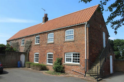
- Price
- Guide Price£999,995
- Size
- 15.07 acres
Dog Kennel Lane, Cherry Burton, Beverley, Bishop Burton, East Riding of Yorkshire HU17 England
Added on 29/01/2026House with Land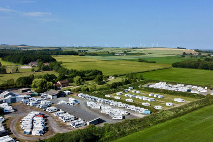
- Price
- £1,375,000
- Size
- 10 acres
Cliffe Road, North Newbald, Newbald, East Riding of Yorkshire YO43 England
Added on 30/05/2026House with Land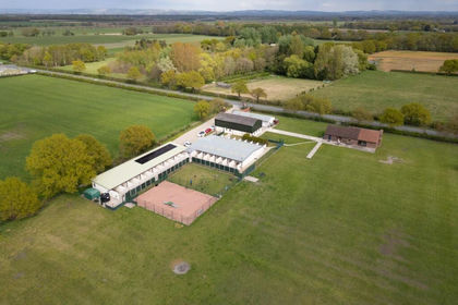
- Price
- Offers in Excess of£1,150,000
- Size
- 10.77 acres
Storwood Kennels, Melbourne, York, YO42, Melbourne, East Riding of Yorkshire YO42 England
Added on 29/01/2026Kennels Property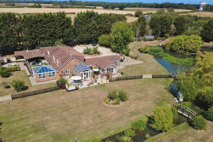
- Price
- Offers in Region of£975,000
- Size
- 12 acres
Hull Road, Great Hatfield (Seaton), Hatfield, East Riding of Yorkshire HU11 England
Added on 20/08/2026House with Land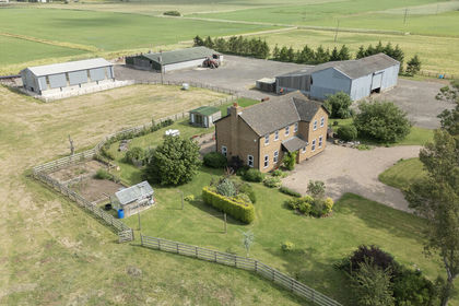
- Price
- Guide Price£995,000
- Size
- 9 acres
Grange Farm, Broomfleet, East Yorkshire, Broomfleet, East Riding of Yorkshire HU15 England
Added on 25/06/2026Farmhouse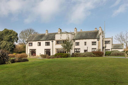
- Price
- Guide Price£1,400,000
- Size
- 11 acres
Timoneer Drive, Flamborough, Bridlington, Flamborough, East Riding of Yorkshire YO15 England
Added on 21/07/2026House with Land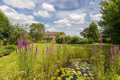
- Price
- Guide Price£1,100,000
- Size
- 8 acres
Langwith Lane, Heslington, York, Heslington, York YO10 England
Added on 11/09/2026House with Land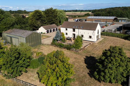
- Price
- Guide Price£995,000
- Size
- 12.24 acres
Added on 28/08/2026House with Land
- Price
- £975,000
- Size
- 15 acres
Pasture Wood Fisheries, Barton-Upon-Humber, Barton, North Lincolnshire DN18 England
Added on 29/01/2026Fishery
- Price
- Offers in Region of£1,250,000
- Size
- 7.55 acres
Easingwold Road, Stillington, Stillington, North Yorkshire YO61 England
Added on 28/01/2026Farmhouse