
St. Pinnock, Liskeard, PL14
- Land size
- 45.5 acres
- Bedrooms
- 3
- Bathrooms
- 2
Key Features
- Three bedroom, two bathroom, three reception room character detached house
- Splendid private location, with far reaching rural views
- Outbuildings with significant potential for alternative uses
- Located in rural East Cornwall between the wide expanses of Bodmin Moor and the South Cornish coastline
- In all 45.50 acres of land and woodland
Description
Guide Price £875,000-£900,000
Location
Positioned in a super private location, with no near neighbours and along a private entrance lane surrounded by its own land. Close by are several villages, with the former market town of Liskeard and the South Cornish port town of Looe a short distance providing town facilities, railway station and link to the main A38. The wide expanses of the mystical Bodmin Moor, a granite moorland area providing endless walking, outriding and leisure opportunities, perhaps best known for Brown Willy, the highest point in Cornwall and its sister tor, Rough Tor. The South Cornish coast provides sandy beaches, picturesque towns and villages and the coastal footpath. Close to the property are a network of quiet parish roads and footpaths providing walking and outriding opportunities. East Coombe Farm provides splendid isolation and privacy, yet is easily accessible to local infrastructure, facilities and leisure pursuits, noting the property has not been on the open market for a number of years and represents an opportunity not to be missed.
The House
East Coombe comprising a former farmhouse providing detached characterful accommodation, retaining many appealing period features. The house benefits from double glazing and oil central heating. Approached along a private driveway, with its principal aspect over gardens and land to the countryside beyond, offering opportunities for extension, subject to the necessary planning consents being sought.
Accommodation
Entrance via a wooden stable door:-
Hallway
Shower Room with WC, wash handbasin and shower cubicle.
Utility with range of fitted units, roll top work surfaces over and integrated washing machine.
Kitchen/Dining Room with fitted units, integrated dishwasher, undercounter space for fridge and space for freestanding Rangemaster.
Living Room with wooden door leading to the rear garden, wood burning stove, wooden mantle and slate hearth and wooden beams.
Stairs rise to the first floor.
Snug with wooden beams, wood burning stove, wooden mantle and slate hearth.
First Floor
Study
Bedroom One
Bedroom Two with access to attic via loft hatch.
Bathroom with pedestal wash handbasin, access to attic via loft hatch, bath with panelled surround, shower cubicle and low level WC.
Bedroom Three Fitted wardrobes.
Outside
East Coombe is approached along its own private entrance lane, leading to the rear of the house, which provides extensive gravelled parking and access to the outbuildings. At the front there are large pretty lawned gardens with flower and shrub bed borders, stoned patio and a lower garden area with stream running through. The gardens provide an excellent place to soak up the extensive country views.
The Outbuildings Of particular note is the opportunity to utilise some of the outbuildings for alternative uses (subject to the necessary planning consents). The buildings were formerly used for agricultural purposes, although now lend themselves to a variety of alternative uses, including equestrian.
The buildings comprise the following:-
1. Blockwork with corrugated roof partially open fronted building used for garaging/workshop and housing a hot tub, with tiled floor and doors to the front to soak up the rural views.
2. Stone with corrugated roof part rendered and renovated traditional farm building with part loft over providing domestic storage.
3. Blockwork with corrugated roof former farrowing pens.
4. Blockwork and corrugated roof stable building currently utilised as a woodstore and workshop.
5. Blockwork with corrugated roof former animal pens with concreted yard outside, beyond which is access to the land.
The Land
East Coombe Farm extends to 45.50 acres, with the house and buildings situated centrally within the land, ensuring absolute privacy. The majority of the land comprises pasture, most recently used for livestock grazing purposes. The land runs into a valley with some woodland fringes, providing ample wood for your open fire or woodburner. Beyond the woodland fringe is a pretty stream boundary. The land is accessible off the main farm drive and some short sections of ancient cartways. The land offers tremendous opportunities for farming/smallholding, amenity, equestrian use and for those with sporting interests.
Other Information
Services
East Coombe is serviced by mains electricity, mains water and private drainage.
Viewings
Strictly by appointment only. Please contact Kivells Farms and Land Department or mark. to view this property and check availability before incurring travel time/costs.
Full details of all our properties are available on our website
Easements, Wayleaves and Rights of Way
The property is offered for sale, subject to and with the benefit of all matters contained in or referred to in the Property and Charges Register of the registered title together with all public or private rights of way Boundaries Any purchaser shall be deemed to have full knowledge of all boundaries and neither Vendor nor the Vendor’s agent will be responsible for defining the boundaries or the ownership thereof. Should any dispute arise as to the boundaries or any points on the particulars or plans or the interpretation of them, the question shall be referred to the Vendor’s agent whose decision acting as experts shall be final.
EE Rating ‘C’
Council Tax Band ‘B’
Directions What3Words – wire.sweetener.awaited
Virtual Tour
Verified Material Information Council Tax band: B Tenure: Freehold Property type: House Property construction: Standard construction Energy Performance rating: D Electricity supply: Mains electricity Solar Panels: No Other electricity sources: No Water supply: Mains water supply Sewerage: Septic tank Heating: Oil-powered central heating is installed. Heating features: Double glazing and Wood burner Broadband: ADSL copper wire Mobile coverage: O2 - OK, Vodafone - OK, Three - OK, EE - Good Parking: Driveway, Off Street, Private, and Garage Building safety issues: No Restrictions - Listed Building: No Restrictions - Conservation Area: No Restrictions - Tree Preservation Orders: None Public right of way: No Long-term area flood risk: No Historical flooding: No Flood defences: No Coastal erosion risk: No Planning permission issues: No Accessibility and adaptations: None Coal mining area: No Non-coal mining area: No
All information is provided without warranty. Contains HM Land Registry data © Crown copyright and database right 2021. This data is licensed under the Open Government Licence v3.0. The information contained is intended to help you decide whether the property is suitable for you. You should verify any answers which are important to you with your property lawyer or surveyor or ask for quotes from the appropriate trade experts: builder, plumber, electrician, damp, and timber expert.
Disclaimer
Kivells, their clients and any joint agents give notice that they are not authorised to make or give representations or warranties in relation to the property. No responsibility is accepted for any statement within these particulars, which do not form part of any offer or contract. Areas, measurements and boundaries are approximate. Text, photographs, CGI’s and plans are for guidance only. It should not be assumed the property has all necessary planning or building consents, and Kivells have not tested any services or equipment. The property is sold subject to all matters in the Property and Charges Register, including rights of way and easements. Purchasers are deemed to know all boundaries. Nothing herein constitutes financial advice; seek your own. Use of Mortgage Genies SW Ltd. will result in a £250 + VAT referral fee to Kivells. Kivells retains copyright to all particulars and media.
Map Location
Property details
- Tenure
- Freehold
- Council Tax Band
- B
- Date Posted
- 2026-06-05
Price history
| Date | Change | Price |
|---|---|---|
| 28 Sep 2026 | Reduced 2.8% (−£25,000) | £875,000 |
| Until 28 Sep 2026 | Asking price | £900,000 |
Market Value Analysis
Compared with 97 Farmland & Pasture listings in South West England (25+ acres).
Utilities & Restrictions
Utilities
- Electricity
- Mains
- Water
- Mains
- Heating
- Oil Heating, Wood Burner
- Broadband
- No Internet Connection
- Sewerage
- Septic Tank / Private
Rights & Restrictions
- Public Rights of Way
- Ask Agent
- Private Rights of Way
- Yes
- Listed Property
- Ask Agent
- Restrictions
- Ask Agent
Listed status, conservation areas and planning constraints for this location are in the full report.
Property Features
- Accessibility
- Ask Agent
- Parking
- Parking Available
- Garden
- Private Garden
Beyond the particulars: planning activity, flood history, heritage and ground risks, checked for this exact spot.
Connectivity
Broadband
Fastest speed available at this postcode
80 Mbps
Superfast
Suitable for
- HD streaming
- Video calls
- Web & social
Mobile signal
Predicted 4G and 5G signal; indoor signal depends on building materials.
Ofcom Connected Nations postcode-level predictions. Speeds and signal are modelled, not measured, and vary between addresses and providers.
Signal is the easy part. Planning activity, flood history and protected designations here are in the full report.
Nearest Schools
Primary
- Dobwalls Community Primary School1.4 milesOfsted: Good
- Ages
- 4 to 11
- Pupils
- 192
- Type
- Academy converter
- Braddock CofE Primary School1.5 milesNo Ofsted rating
- Ages
- 3 to 11
- Pupils
- 111
- Type
- Academy sponsor led
- Faith
- Church of England
- Liskeard Hillfort Primary School2.6 milesOfsted: Good
- Ages
- 4 to 11
- Pupils
- 376
- Type
- Academy sponsor led
- St Neot Community Primary School3.2 milesOfsted: Good *
- Ages
- 4 to 11
- Pupils
- 100
- Type
- Community school
- St Martin's CofE Primary School3.5 milesOfsted: Good
- Ages
- 3 to 11
- Pupils
- 292
- Type
- Academy sponsor led
- Faith
- Church of England
Secondary
- Liskeard School and Community College3.2 milesNo Ofsted rating
- Ages
- 11 to 18
- Pupils
- 1,115
- Type
- Academy converter
- Looe Community Academy6.2 milesOfsted report card · Feb 2026
- Ages
- 11 to 16
- Pupils
- 513
- Type
- Academy converter
- Bodmin College8.1 milesOfsted: Requires improvement *
- Ages
- 11 to 18
- Pupils
- 1,236
- Type
- Academy converter
- Fowey River Academy8.8 milesOfsted: Good *
- Ages
- 11 to 16
- Pupils
- 676
- Type
- Academy sponsor led
- Callington Community College11 milesOfsted: Good
- Ages
- 11 to 18
- Pupils
- 887
- Type
- Academy converter
* Latest graded judgement covers quality of education only; no overall grade was issued under the 2024-25 inspection framework.
Distances are straight-line from the advertised location. Source: the national school registers (DfE, Welsh Government, Scottish Government) and Ofsted.
Schools are just the start: sold prices nearby, planning activity and any flood history are in the full report.
Amenities
Supermarket
GP surgery
Pharmacy
Hospital
Straight-line distances from the advertised location. Sources: NHS records, Geolytix supermarket locations, OS Open Greenspace and the national trails registers.
The area stacks up? Now check the location itself: planning nearby, protected designations and past flooding.
Getting Around
Nearest station
Nearest bus stop
Typical drive times
Straight-line distances from the advertised location; drive times are typical free-flow times over OpenStreetMap road data, so allow more at peak. Public transport locations from DfT NaPTAN.
Easy to reach matters. So do planning activity, flood history and ground risks: all in the full report.
Flood Risk
Environment Agency open data, checked around the advertised map pin for the listed acreage. Long-term risk counts flood defences; the planning map's flood zones do not. Provided by LandSale, not the listing agent, and not part of the agent's particulars. Risk varies across a holding, so verify before committing.
Rivers and the sea
Not at the pin: mapped about 170 metres away.
Planning map: Flood Zone 3, about 110 metres away.
Surface water
Not at the pin: mapped about 70 metres away.
These bandings are the summary. Where this location sits on the flood maps, plus planning activity, heritage and ground risks, is in the full report.
Important notice: Information, maps and tags on this page are drawn from the advertising agent's marketing materials or generated automatically. LandSale has not verified them. Relying on these details is at your own risk, always carry out independent checks before committing to a purchase.
LandSale full disclaimer
Marketing information only - not formal particulars. The details on this website are provided for general guidance and do not constitute an offer or contract. Neither LandSale nor the advertising estate/land agent accepts responsibility for any inaccuracy.
1. Source of information
- Listing content: Core description, asking price, tenure, measurements, photographs and planning history originate from the marketing materials of the advertising estate or land agent. LandSale does not author this content and cannot guarantee its accuracy.
- Automated tags & categorisation: Property type, land-use class, acreage bands and similar labels may be applied by machine-learning models. They are intended as a helpful guide only and may not reflect the property's legal status or permitted use.
- Third-party & enriched data layers: Maps, boundary outlines, planning designations, soil reports, broadband coverage and other environmental or location-based insights are licensed from external suppliers. Such data are supplied “as is", may be incomplete or out of date and are subject to change without notice.
2. Verification required
Prospective purchasers must verify critical matters, including but not limited to planning permission, title boundaries, public rights of way, environmental constraints, acreage, services, access and VAT status, through their own inspections, specialist surveys, legal advisers and the selling agent before relying on the information or entering into any contract.
3. No warranty or liability
LandSale gives no warranty, express or implied, as to the accuracy, completeness or fitness for any particular purpose of the information displayed. LandSale shall not be liable for any loss, damage, cost or expense arising directly or indirectly from any use of or reliance on such information, save where liability may not be excluded by law.
4. Updates & feedback
If you believe any detail on this listing is inaccurate, please let us know. We will investigate and, where appropriate, update the listing or notify the agent.
© LandSale | Version 1.3 - August 2026
Similar properties for sale
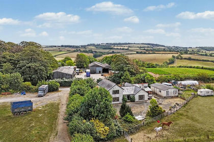
- Price
- Guide Price£925,000
- Size
- 36.51 acres
Trewidland, Liskeard, PL14, St. Keyne and Trewidland, Cornwall PL14 England
Added on 19/05/2026Smallholding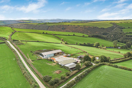
- Price
- Offers Over£1,000,000
- Size
- 60 acres
Added on 06/10/2026Farm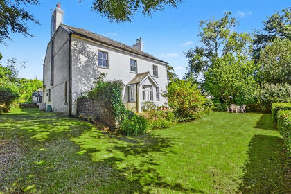
- Price
- £1,025,000
- Size
- 33 acres
South Petherwin, Launceston - Cornwall, Lezant, Cornwall PL15 England
Added on 22/07/2026Agricultural Land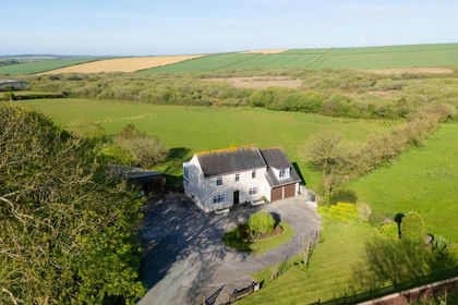
- Price
- Guide Price£825,000
- Size
- 33.54 acres
Winnards Perch, St. Columb, TR9, St. Columb Major, Cornwall TR9 England
Added on 12/05/2026House with Land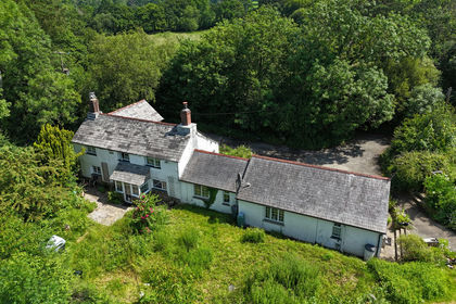
- Price
- Guide Price£1,000,000
- Size
- 33 acres
St Giles-on-the-Heath, Launceston, Devon, PL15, St. Giles on the Heath, Devon PL15 England
Added on 08/09/2026House with Land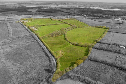
- Price
- £950,000
- Size
- 26 acres
Added on 01/07/2026House with Land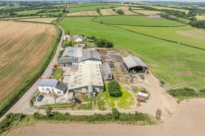
- Price
- Guide Price£975,000
- Size
- 57.5 acres
Milton Damerel, Holsworthy, EX22, Milton Damerel, Devon EX22 England
Added on 07/07/2026Farm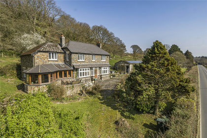
- Price
- Guide Price£900,000
- Size
- 24 acres
Added on 29/01/2026House with Land