Terrick, Buckinghamshire
- Land size
- 1.5 acres
- Bedrooms
- 5
- Bathrooms
- 3
Key Features
- A beautiful Grade II Listed family home
- Five double bedrooms
- Potential for self-contained annexe
- Beautifully landscaped formal gardens
- Overall plot of about 1.5 acres
- Character and period features throughout
- Garaging
- Semi-rural location
- Excellent commuter links
- Ideally situated for local schooling
Description
Steeped in history, this magnificent Grade II listed detached family home showcases beautiful period features at every turn.
Ground floor
An impressive entrance door leads into a grand reception hallway featuring a guest WC and main staircase.
Living spaces include a formal dining room, a dual-aspect drawing room with hidden cellar access, and a garden-facing music room.
The main kitchen and breakfast area connects to a practical utility room and a second guest WC.
A versatile, self-contained annexe sits just off the kitchen, complete with its own lounge, bedroom, kitchen, and contemporary shower room.
First floor
The upper level hosts five generously sized bedrooms filled with original character and built-in storage.
The main bedroom suite showcases exposed timber beams, a dual-aspect layout, and a private en-suite bathroom.
Gardens and grounds
Beautifully secluded grounds feature expansive lawns framed by mature, well-stocked floral borders.
Outdoor features include a fruit orchard, a dedicated kitchen garden with raised vegetable beds, and a traditional potting shed.
A unique outbuilding, believed to be a historic blister hangar, sits in the far corner offering versatile usage options.
A long, shared private track provides access from the main road to a driveway with ample off-street parking.
Garaging includes a single garage attached to the annexe alongside an independent double garage.
Situation
Situated between the vibrant market towns of Princes Risborough and Wendover, offering robust shopping, leisure, and direct rail links to London Marylebone. Local transit options include Little Kimble station just over a mile away, with fast road links via the M40 and M25 networks. The property sits amid scenic countryside rich with walking trails, bridleways, and nearby golf courses at Whiteleaf and Ellesborough. There is excellent educational access includes local primary schools in Great Kimble and Monks Risborough, the Aylesbury and High Wycombe grammar systems, and elite independent schools like Wycombe Abbey and Pipers Corner.
Fixtures and fittings
All fixtures, fittings and furniture such as curtains, light fittings, garden ornaments and statuary are excluded from the sale. Some may be available by separate negotiation.
Services
Mains electricity, water and gas.. Private drainage. None of the services or appliances, heating installations, plumbing or electrical systems have been tested by the selling agents.
If the private drainage system requires updating/replacement, it is assumed that prior to offers being made, associated costs have been considered and are the responsibility of the purchaser. Interested parties are advised to make their own investigations, no further information will be provided by the selling agents.
The estimated fastest download speed currently achievable for the property postcode area is around 80 Mbps (data taken from checker.ofcom.org.uk on 08/05/2025). Actual service availability at the property or speeds received may be different.We understand that the property is likely to have current mobile coverage outdoors (data taken from checker.ofcom.org.uk on 08/05/2025). Please note that actual services available may be different depending on the particular circumstances, precise location and network outages.
Tenure
The property is to be sold freehold with vacant possession.
Method of sale
The property is to be sold by private Treaty.
Local Authority
Wycombe Council
Council Tax Band G
Public rights of way, wayleaves and easements
The property is sold subject to all rights of way, wayleaves and easements whether or not they are defined in this brochure.
Plans and boundaries
The plans within these particulars are based on Ordnance Survey data and provided for reference only. They are believed to be correct but accuracy is not guaranteed. The purchaser shall be deemed to have full knowledge of all boundaries and the extent of ownership. Neither the vendor nor the vendor’s agents will be responsible for defining the boundaries or the ownership thereof.
Viewings
Strictly by appointment through Fisher German LLP.
Directions
Postcode – HP17 0UA
what3words –///nutty.diary.scariest
Map Location
Property details
- Tenure
- Ask Agent
- Council Tax Band
- G
- Date Posted
- 2026-01-28
Market Value Analysis
Compared with 1,736 Homes with Land listings in South East England (1+ acres).
Energy Performance Certificate
Energy Efficiency Rating
Based on UK Energy Performance Certificate standards (EU Directive 2002/91/EC)
Running costs are one side. Planning activity, flood history and ground risks for this location are in the full report.
Utilities & Restrictions
Utilities
- Electricity
- Ask Agent
- Water
- Ask Agent
- Heating
- Ask Agent
- Broadband
- Ask Agent
- Sewerage
- Ask Agent
Rights & Restrictions
- Public Rights of Way
- Ask Agent
- Private Rights of Way
- Ask Agent
- Listed Property
- Ask Agent
- Restrictions
- Ask Agent
Listed status, conservation areas and planning constraints for this location are in the full report.
Property Features
- Accessibility
- Ask Agent
- Parking
- Parking Available
- Garden
- Garden
Beyond the particulars: planning activity, flood history, heritage and ground risks, checked for this exact spot.
Connectivity
Broadband
Fastest speed available at this postcode
80 Mbps
Superfast
Suitable for
- HD streaming
- Video calls
- Web & social
Mobile signal
Predicted 4G and 5G signal; indoor signal depends on building materials.
Ofcom Connected Nations postcode-level predictions. Speeds and signal are modelled, not measured, and vary between addresses and providers.
Signal is the easy part. Planning activity, flood history and protected designations here are in the full report.
Nearest Schools
Primary
- Great Kimble Church of England School1.4 milesOfsted: Requires improvement
- Ages
- 4 to 11
- Pupils
- 100
- Type
- Academy converter
- Faith
- Church of England
- Stoke Mandeville Combined School1.5 milesNo Ofsted rating
- Ages
- 4 to 11
- Pupils
- 218
- Type
- Community school
- The John Hampden School2.2 milesNo Ofsted rating
- Ages
- 3 to 7
- Pupils
- 270
- Type
- Community school
- Wendover Church of England Junior School2.2 milesNo Ofsted rating
- Ages
- 7 to 11
- Pupils
- 336
- Type
- Voluntary controlled school
- Faith
- Church of England
- Weston Turville Church of England School2.3 milesNo Ofsted rating
- Ages
- 4 to 11
- Pupils
- 201
- Type
- Voluntary aided school
- Faith
- Church of England
Secondary
- John Colet School2.2 milesNo Ofsted rating
- Ages
- 11 to 18
- Pupils
- 1,014
- Type
- Academy converter
- The Mandeville School2.6 milesOfsted: Inadequate *
- Ages
- 11 to 18
- Pupils
- 966
- Type
- Academy converter
- The Grange School3.1 milesOfsted: Good
- Ages
- 11 to 18
- Pupils
- 1,418
- Type
- Foundation school
- Aylesbury High School3.3 milesOfsted: Outstanding
- Ages
- 11 to 18
- Pupils
- 1,368
- Type
- Academy converter
- Gender
- Girls
- Aylesbury Grammar School3.4 milesOfsted: Outstanding
- Ages
- 11 to 18
- Pupils
- 1,346
- Type
- Academy converter
- Gender
- Boys
* Latest graded judgement covers quality of education only; no overall grade was issued under the 2024-25 inspection framework.
Distances are straight-line from the advertised location. Source: the national school registers (DfE, Welsh Government, Scottish Government) and Ofsted.
Schools are just the start: sold prices nearby, planning activity and any flood history are in the full report.
Amenities
Supermarket
GP surgery
Pharmacy
Hospital
Green space
Walking trail
Straight-line distances from the advertised location. Sources: NHS records, Geolytix supermarket locations, OS Open Greenspace and the national trails registers.
The area stacks up? Now check the location itself: planning nearby, protected designations and past flooding.
Getting Around
Nearest station
Nearest bus stop
Typical drive times
Straight-line distances from the advertised location; drive times are typical free-flow times over OpenStreetMap road data, so allow more at peak. Public transport locations from DfT NaPTAN.
Easy to reach matters. So do planning activity, flood history and ground risks: all in the full report.
Flood Risk
Environment Agency open data, checked around the advertised map pin for the listed acreage. Long-term risk counts flood defences; the planning map's flood zones do not. Provided by LandSale, not the listing agent, and not part of the agent's particulars. Risk varies across a holding, so verify before committing.
Rivers and the sea
Planning map: Flood Zone 1.
Surface water
These bandings are the summary. Where this location sits on the flood maps, plus planning activity, heritage and ground risks, is in the full report.
Important notice: Information, maps and tags on this page are drawn from the advertising agent's marketing materials or generated automatically. LandSale has not verified them. Relying on these details is at your own risk, always carry out independent checks before committing to a purchase.
LandSale full disclaimer
Marketing information only - not formal particulars. The details on this website are provided for general guidance and do not constitute an offer or contract. Neither LandSale nor the advertising estate/land agent accepts responsibility for any inaccuracy.
1. Source of information
- Listing content: Core description, asking price, tenure, measurements, photographs and planning history originate from the marketing materials of the advertising estate or land agent. LandSale does not author this content and cannot guarantee its accuracy.
- Automated tags & categorisation: Property type, land-use class, acreage bands and similar labels may be applied by machine-learning models. They are intended as a helpful guide only and may not reflect the property's legal status or permitted use.
- Third-party & enriched data layers: Maps, boundary outlines, planning designations, soil reports, broadband coverage and other environmental or location-based insights are licensed from external suppliers. Such data are supplied “as is", may be incomplete or out of date and are subject to change without notice.
2. Verification required
Prospective purchasers must verify critical matters, including but not limited to planning permission, title boundaries, public rights of way, environmental constraints, acreage, services, access and VAT status, through their own inspections, specialist surveys, legal advisers and the selling agent before relying on the information or entering into any contract.
3. No warranty or liability
LandSale gives no warranty, express or implied, as to the accuracy, completeness or fitness for any particular purpose of the information displayed. LandSale shall not be liable for any loss, damage, cost or expense arising directly or indirectly from any use of or reliance on such information, save where liability may not be excluded by law.
4. Updates & feedback
If you believe any detail on this listing is inaccurate, please let us know. We will investigate and, where appropriate, update the listing or notify the agent.
© LandSale | Version 1.3 - August 2026
Listing agent
Fisher German, Covering South East
Covering South East
Similar properties for sale
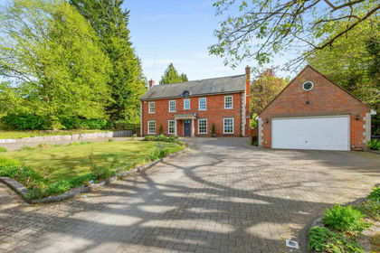
- Price
- Offers in Excess of£1,900,000
- Size
- 2 acres
Ellesborough Road, Wendover, HP22, Wendover, Buckinghamshire HP22 England
Added on 20/03/2026House with Land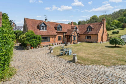
- Price
- £1,650,000
- Size
- 6.5 acres
Little London, Wendover, Aylesbury, HP22, Wendover, Buckinghamshire HP22 England
Added on 16/07/2026Cottage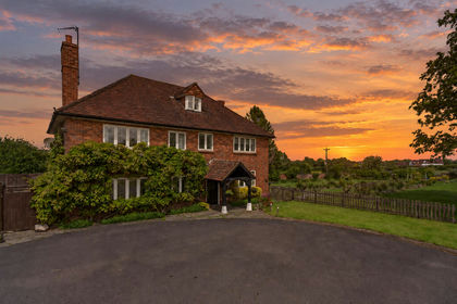
- Price
- Guide Price£1,750,000
- Size
- 3.6 acres
Longwick, Princes Risborough, HP27, Longwick-cum-Ilmer, Buckinghamshire HP27 England
Added on 03/06/2026Farmhouse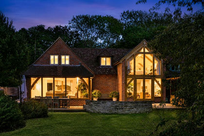
- Price
- Offers in Excess of£1,350,000
- Size
- 2 acres
Added on 12/09/2026House with Land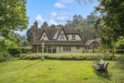
- Price
- £1,350,000
- Size
- 2.73 acres
Aston Hill, Halton, Aston Clinton, Buckinghamshire HP22 England
Added on 28/01/2026House with Land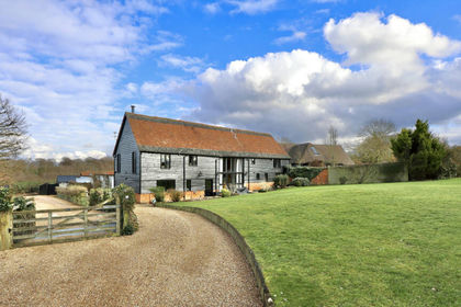
- Price
- Guide Price£1,850,000
- Size
- 4.5 acres
Honor End Lane, Great Hampden, Prestwood, HP16, Great Missenden, Buckinghamshire HP16 England
Added on 29/01/2026Barn Conversion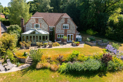
- Price
- Guide Price£1,450,000
- Size
- 1.78 acres
Woodway, Loosley Row, Buckinghamshire, HP27, Lacey Green, Buckinghamshire HP27 England
Added on 01/08/2026House with Land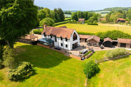
- Price
- £1,825,000
- Size
- 2.5 acres
Rignall Road, Great Missenden, Buckinghamshire, HP16, Great Missenden, Buckinghamshire HP16 England
Added on 05/03/2026House with Land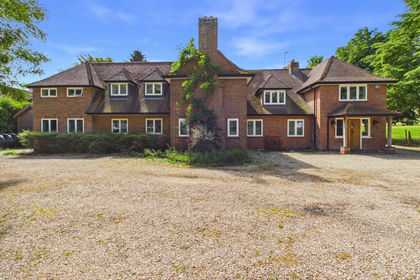
- Price
- Guide Price£1,750,000
- Size
- 1 acres
Added on 11/05/2026Country Home
- Price
- Offers Over£1,500,000
Henton, Chinnor, Oxfordshire, OX39, Chinnor, Oxfordshire OX39 England
Added on 11/06/2026Cottage