Stanwell Green, Thorndon
- Land size
- 0.52 acres
- Bedrooms
- 4
- Bathrooms
- 3
Key Features
- Grade II listed farmhouse believed to date back to the 15th century
- Wealth of original period features including exposed timbers and crown post
- Impressive sitting room with inglenook fireplace and herringbone brick flooring
- Well-balanced accommodation blending character with modern fittings
- Set within grounds of approximately 0.52 acres
- Private position set back from a quiet country lane
- Three-bay garage and a range of useful outbuildings
- Established gardens arranged into distinct areas
- Productive vegetable patch tucked away within the garden
- Located within the popular village of Thorndon with good access to A140 and nearby towns
Description
A charming Grade II listed 15th-century farmhouse in the sought-after village of Thorndon, offering a blend of historic character and modern comfort. The property features original timbers, a crown post, and a characterful sitting room with an inglenook fireplace. Set within approximately 0.52 acres, it includes private gardens, outbuildings, a garage, and a productive kitchen garden with polytunnel. Well located for access to Diss, Stowmarket, and surrounding countryside, with good transport links and local amenities nearby.
Location
Positioned within the well-regarded village of Thorndon, the property enjoys a setting within a community that offers a range of everyday amenities including a public house, village shop, mobile post office, primary school and church. The village lies approximately 4.5 miles from Debenham, 13 miles from Stowmarket and around 8 miles from Diss. Close by is the highly regarded Thornham Estate, extending to around 2,000 acres, with approximately 12 miles of scenic walking routes through a mix of woodland, parkland and open countryside. The nearby town of Eye, just 3 miles away, provides a good selection of independent shops, healthcare facilities and schooling through to sixth form at Hartismere Academy.
The A140 is easily accessible, offering convenient links to both Norwich and Ipswich, while the market town of Diss, just over the Norfolk border, provides a wider range of shopping, leisure and sporting facilities, including a golf course and driving range. Mainline railway stations at Diss and Stowmarket offer regular services to Norwich, Ipswich and London Liverpool Street. The Suffolk Heritage Coast, including Southwold, can be reached in approximately an hour by car.
The Property
Charity Farmhouse is a Grade II listed home of considerable character, believed to date back to the 15th century. The property retains a wealth of original features, including impressive exposed timbers and a notable crown post within the former open hall, reflecting its historic significance and craftsmanship.
The layout showcases the natural evolution of a period home, with gently irregular lines and a notable width of over 20 feet, an indicator of its quality and status. The accommodation blends these historic elements with modern living, including a well-appointed kitchen with integrated appliances and contemporary sanitary fittings.
A standout feature is the sitting room, rich in character with exposed wall and ceiling timbers, a herringbone brick floor, arched doorway and a substantial inglenook fireplace, creating a particularly inviting space during the winter months.
Outside
Set well back from a quiet country lane, the property enjoys a high degree of privacy and is largely screened from view. A shared driveway leads to a timber gate, opening onto a private drive which continues past the traditional front garden and on to a three-bay garage.
Additional outbuildings provide useful storage, while the gardens, extending to approximately 0.52 acres, are thoughtfully arranged into distinct areas. To the rear is a more enclosed garden space, while to the south lies a larger lawned garden with a shaded patio, pond and a tractor shed at the far end.
Beyond a hornbeam hedge is a productive kitchen garden, complete with a substantial polytunnel, well-suited to those seeking a more self-sufficient lifestyle.
Services: Mains water, electricity and drainage are connected. Oil-fired boiler providing underfloor heating to the ground floor and radiators to the first floor. Solar panels are installed with a high Feed-in Tariff, generating approximately £2,000 per annum in addition to electricity usage, contracted until 15 November 2036.
Directions: From Diss, proceed south on the A140 towards Ipswich. At The White Horse public house, turn left signposted Thorndon and continue into the village. Pass the turning for Standwell Green, then take the next right. The entrance to Charity Farmhouse will be found almost immediately on the left.
Viewing: Strictly by appointment with TW Gaze.
Tenure: Freehold
Council Tax Band E
Anti-Money Laundering, Terrorist Financing and Transfer of funds Regulations 2017.
In line with the regulations, TW Gaze are legally required to carry out AML due diligence checks on all proposed legal purchasers involved in the transaction. A charge of £25.00 + VAT (£30.00 Inc VAT) processing fee is applicable for each purchaser once an acceptable offer is agreed.
Ref: 2/20184
Map Location
Property details
- Tenure
- Freehold
- Council Tax Band
- E
- Date Posted
- 2026-11-16
Utilities & Restrictions
Utilities
- Electricity
- Mains
- Water
- Mains
- Heating
- Oil Heating
- Broadband
- Ask Agent
- Sewerage
- Septic Tank / Private
Rights & Restrictions
- Public Rights of Way
- Ask Agent
- Private Rights of Way
- Ask Agent
- Listed Property
- Ask Agent
- Restrictions
- Ask Agent
Listed status, conservation areas and planning constraints for this location are in the full report.
Property Features
- Accessibility
- Ask Agent
- Parking
- Garage
- Garden
- Garden
Beyond the particulars: planning activity, flood history, heritage and ground risks, checked for this exact spot.
Connectivity
Broadband
Fastest speed available at this postcode
1.8 Gbps
Gigabit full fibre · available to 93% of premises
Suitable for
- 4K streaming on every screen
- Full-time home working
- Online gaming & big downloads
Mobile signal
Predicted 4G and 5G signal; indoor signal depends on building materials.
Ofcom Connected Nations postcode-level predictions. Speeds and signal are modelled, not measured, and vary between addresses and providers.
Signal is the easy part. Planning activity, flood history and protected designations here are in the full report.
Nearest Schools
Primary
- Thorndon Church of England Primary School782 metresOfsted report card · Jan 2026
- Ages
- 4 to 11
- Pupils
- 58
- Type
- Academy converter
- Faith
- Church of England
- Occold Primary School1.5 milesNo Ofsted rating
- Ages
- 4 to 11
- Pupils
- 53
- Type
- Academy converter
- Wetheringsett Church of England Primary School2.1 milesNo Ofsted rating
- Ages
- 4 to 11
- Pupils
- 40
- Type
- Academy converter
- Faith
- Church of England
- St Peter and St Paul Church of England Primary School, Eye2.6 milesOfsted: Good
- Ages
- 3 to 11
- Pupils
- 200
- Type
- Academy converter
- Faith
- Church of England
- Mellis Church of England Primary School3.3 milesNo Ofsted rating
- Ages
- 5 to 11
- Pupils
- 147
- Type
- Academy converter
- Faith
- Church of England
Secondary
- Hartismere School2.6 milesOfsted: Good *
- Ages
- 11 to 18
- Pupils
- 1,062
- Type
- Academy converter
- Debenham High School4.7 milesOfsted: Good
- Ages
- 11 to 16
- Pupils
- 714
- Type
- Academy converter
- Faith
- Church of England
- Stradbroke High School6.5 milesNo Ofsted rating
- Ages
- 11 to 16
- Pupils
- 353
- Type
- Academy converter
- Diss High School6.5 milesNo Ofsted rating
- Ages
- 11 to 18
- Pupils
- 877
- Type
- Academy converter
- Stowupland High School7.5 milesOfsted: Requires improvement
- Ages
- 11 to 18
- Pupils
- 846
- Type
- Academy converter
* Latest graded judgement covers quality of education only; no overall grade was issued under the 2024-25 inspection framework.
Distances are straight-line from the advertised location. Source: the national school registers (DfE, Welsh Government, Scottish Government) and Ofsted.
Schools are just the start: sold prices nearby, planning activity and any flood history are in the full report.
Amenities
Supermarket
GP surgery
Pharmacy
Hospital
Green space
Straight-line distances from the advertised location. Sources: NHS records, Geolytix supermarket locations, OS Open Greenspace and the national trails registers.
The area stacks up? Now check the location itself: planning nearby, protected designations and past flooding.
Getting Around
Nearest station
Nearest bus stop
Typical drive times
Straight-line distances from the advertised location; drive times are typical free-flow times over OpenStreetMap road data, so allow more at peak. Public transport locations from DfT NaPTAN.
Easy to reach matters. So do planning activity, flood history and ground risks: all in the full report.
Flood Risk
Environment Agency open data, checked around the advertised map pin for the listed acreage. Long-term risk counts flood defences; the planning map's flood zones do not. Provided by LandSale, not the listing agent, and not part of the agent's particulars. Risk varies across a holding, so verify before committing.
Rivers and the sea
Planning map: Flood Zone 1.
Surface water
Not at the pin: mapped about 20 metres away.
These bandings are the summary. Where this location sits on the flood maps, plus planning activity, heritage and ground risks, is in the full report.
Important notice: Information, maps and tags on this page are drawn from the advertising agent's marketing materials or generated automatically. LandSale has not verified them. Relying on these details is at your own risk, always carry out independent checks before committing to a purchase.
LandSale full disclaimer
Marketing information only - not formal particulars. The details on this website are provided for general guidance and do not constitute an offer or contract. Neither LandSale nor the advertising estate/land agent accepts responsibility for any inaccuracy.
1. Source of information
- Listing content: Core description, asking price, tenure, measurements, photographs and planning history originate from the marketing materials of the advertising estate or land agent. LandSale does not author this content and cannot guarantee its accuracy.
- Automated tags & categorisation: Property type, land-use class, acreage bands and similar labels may be applied by machine-learning models. They are intended as a helpful guide only and may not reflect the property's legal status or permitted use.
- Third-party & enriched data layers: Maps, boundary outlines, planning designations, soil reports, broadband coverage and other environmental or location-based insights are licensed from external suppliers. Such data are supplied “as is", may be incomplete or out of date and are subject to change without notice.
2. Verification required
Prospective purchasers must verify critical matters, including but not limited to planning permission, title boundaries, public rights of way, environmental constraints, acreage, services, access and VAT status, through their own inspections, specialist surveys, legal advisers and the selling agent before relying on the information or entering into any contract.
3. No warranty or liability
LandSale gives no warranty, express or implied, as to the accuracy, completeness or fitness for any particular purpose of the information displayed. LandSale shall not be liable for any loss, damage, cost or expense arising directly or indirectly from any use of or reliance on such information, save where liability may not be excluded by law.
4. Updates & feedback
If you believe any detail on this listing is inaccurate, please let us know. We will investigate and, where appropriate, update the listing or notify the agent.
© LandSale | Version 1.3 - August 2026
Similar properties for sale
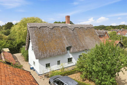
- Price
- Guide Price£650,000
- Size
- 0.52 acres
Stanwell Green, Thorndon, Eye IP23, Thorndon, Suffolk IP23 England
Added on 16/11/2026Cottage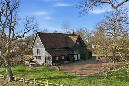
- Price
- Guide Price£784,000
- Size
- 0.77 acres
High Street, Thorndon, Eye, IP23, Thorndon, Suffolk IP23 England
Added on 29/03/2026Barn Conversion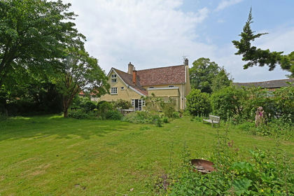
- Price
- Guide Price£750,000
- Size
- 0.82 acres
Brockford Street, Nr Stowmarket, Suffolk, Wetheringsett-cum-Brockford, Suffolk IP14 England
Added on 16/11/2026Residential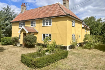
- Price
- Guide Price£650,000
- Size
- 2.04 acres
Added on 02/09/2026House with Land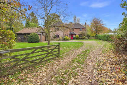
- Price
- Guide Price£650,000
- Size
- 1.5 acres
Church Corner, Bedingfield, Eye IP23, Bedingfield, Suffolk IP23 England
Added on 13/11/2026House with Land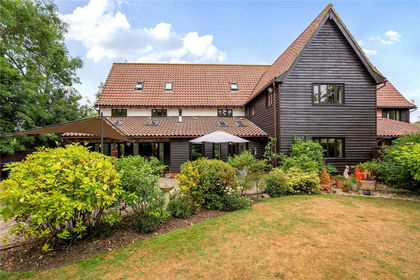
- Price
- Guide Price£750,000
- Size
- 0.7 acres
Cow Pasture Barn, The Common, Mellis, Suffolk, IP23, Mellis, Suffolk IP23 England
Added on 31/07/2026Barn Conversion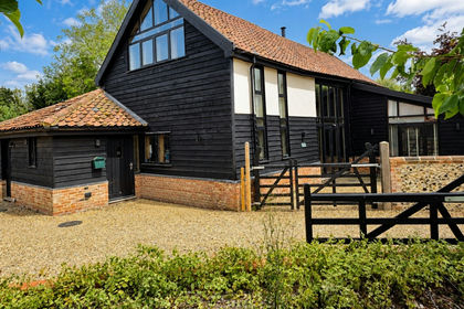
- Price
- Guide Price£637,000
Gislingham Road, Finningham, IP14, Finningham, Suffolk IP14 England
Added on 01/08/2026Barn Conversion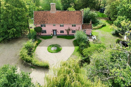
- Price
- Guide Price£795,000
- Size
- 1.71 acres
Added on 09/10/2026House with Land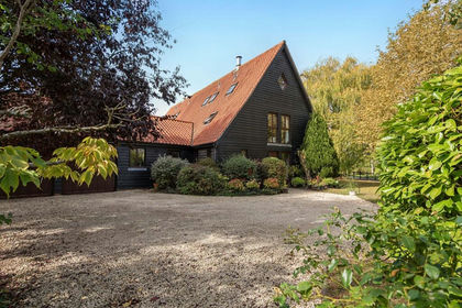
- Price
- Guide Price£625,000
Parkers Road, Cotton, Stowmarket, Suffolk, IP14, Cotton, Suffolk IP14 England
Added on 20/10/2026Barn Conversion
- Price
- Offers in Excess of£750,000
- Size
- 4.02 acres
Broad Road, Bacton, Stowmarket, Suffolk, IP14, Bacton, Suffolk IP14 England
Added on 29/01/2026House with Land