St. Florence, Tenby, SA70
- Land size
- 4 acres
- Dwelling size
- 1615 sqft
- Bedrooms
- 3
- Bathrooms
- 3
Description
A Remarkable Architectural Home Created Around Nature
Architect-designed contemporary residence by Argent Architects • Approximately four acres of private grounds • Three bedrooms • Engineered glulam post-and-beam construction • Standing-seam zinc roof and cladding • High-performance insulated envelope • Aluminium/timber composite glazing • Two elevated balconies • Two substantial garages • Dedicated workspace • Separate lodge/store • Wildlife pond • Exceptional privacy
There are homes that are renovated, and then there are those that are completely reimagined.
When the current owners discovered Millpark, an entirely different bungalow occupied this wonderfully secluded setting. Recognising the potential of the land, they made the bold decision to demolish the original dwelling and begin again, commissioning renowned Pembrokeshire practice Argent Architects to create a home designed specifically around its surroundings.
The result is a striking three-bedroom contemporary residence, elevated above approximately four acres of private grounds and thoughtfully positioned to maximise natural light, privacy and its exceptional connection with the surrounding landscape.
Built around an engineered glulam post-and-beam frame, with a high-performance insulated envelope, standing-seam zinc roof and cladding, and aluminium/timber composite glazing, the house combines bold contemporary architecture with outstanding energy efficiency, durability and low-maintenance modern living.
Yet it is the relationship with nature that makes Millpark truly special.
Generous glazing draws the outside in, while two elevated balconies provide wonderful places to sit and admire the surrounding countryside. Morning coffee as the sun rises, long summer evenings overlooking the grounds, or simply watching the seasons unfold—the landscape becomes an integral part of everyday life.
Within the grounds are two ponds, including a beautiful wildlife pond that has become a thriving natural habitat. During my own visit, one of the most memorable sights was the extraordinary dragonflies—amongst the largest I have ever seen—gliding effortlessly across the water’s surface. It is a small detail, perhaps, but one that perfectly captures the tranquillity, biodiversity and sense of seclusion that define this remarkable setting.
The grounds themselves encourage a slower pace of life. Mature trees, open lawns and natural planting create an ever-changing backdrop throughout the seasons, attracting an abundance of wildlife while offering complete privacy. It is a setting that feels both beautifully landscaped and wonderfully wild, allowing nature to flourish around the home.
The elevated design also creates exceptional practicality beneath the principal accommodation, with two substantial garages and a dedicated workspace. Subject to obtaining the necessary planning permissions and consents, there may be potential to explore connecting the workspace with the accommodation above, creating further flexibility for those seeking additional living accommodation, a studio or a home office.
A separate lodge/store provides valuable ancillary accommodation within the grounds, further enhancing the versatility of the property.
Millpark is not simply a bungalow that has been modernised. It is an entirely new home, thoughtfully conceived from the ground up—where contemporary architecture, exceptional craftsmanship and approximately four acres of private Pembrokeshire countryside exist in complete harmony.
For those seeking something genuinely individual, Millpark offers a rare combination of architectural distinction, complete privacy, practical versatility and an exceptional connection with nature.
A home designed not simply to sit within its landscape, but to embrace it.
Kitchen/dining/living
Master Bedroom
Master En-suite
Pantry
Bedroom 2
En-suite 2
Bedroom 3
Shower Room
Utility
Snug
Under house workshop
Map Location
Property details
- Tenure
- Freehold
- Council Tax Band
- C
- Date Posted
- 2026-08-07
Market Value Analysis
Compared with 1,043 Homes with Land listings in Wales (1+ acres).
Energy Performance Certificate
Energy Efficiency Rating
Based on UK Energy Performance Certificate standards (EU Directive 2002/91/EC)
Running costs are one side. Planning activity, flood history and ground risks for this location are in the full report.
Utilities & Restrictions
Utilities
- Electricity
- Solar Panels, National Grid
- Water
- Direct Main Waters
- Heating
- Air Heat Pump, Solar Panels, Wood Burner
- Broadband
- FTTP
- Sewerage
- Septic Tank
Rights & Restrictions
- Public Rights of Way
- Ask Agent
- Private Rights of Way
- Ask Agent
- Listed Property
- Ask Agent
- Restrictions
- Ask Agent
Listed status, conservation areas and planning constraints for this location are in the full report.
Property Features
- Accessibility
- Ask Agent
- Parking
- Off street (1); Garage (1)
- Garden
- Ask Agent
Beyond the particulars: planning activity, flood history, heritage and ground risks, checked for this exact spot.
Connectivity
Broadband
Fastest speed available at this postcode
1.8 Gbps
Superfast
Suitable for
- 4K streaming on every screen
- Full-time home working
- Online gaming & big downloads
Mobile signal
Predicted 4G and 5G signal; indoor signal depends on building materials.
Ofcom Connected Nations postcode-level predictions. Speeds and signal are modelled, not measured, and vary between addresses and providers.
Signal is the easy part. Planning activity, flood history and protected designations here are in the full report.
Nearest Schools
Primary
- St Florence Church in Wales VC School544 metres
- Pupils
- 72
- Type
- Nursery, Infants & Juniors
- Language
- English medium school / provision
- Manorbier Church in Wales VC School1.6 miles
- Pupils
- 25
- Type
- Nursery, Infants & Juniors
- Language
- English medium school / provision
- Ysgol Hafan Y Mor2.3 miles
- Pupils
- 236
- Type
- Nursery, Infants & Juniors
- Language
- Welsh medium school / provision (including transitional)
- Tenby VC2.3 miles
- Pupils
- 236
- Type
- Nursery, Infants & Juniors
- Language
- English medium school / provision
- Sageston Community Primary School2.4 miles
- Pupils
- 116
- Type
- Nursery, Infants & Juniors
- Language
- English medium school / provision
Secondary
- Ysgol Greenhill School2.5 miles
- Pupils
- 877
- Type
- Secondary (ages 11-19)
- Language
- English medium school / provision
- Ysgol Harri Tudur / Henry Tudor School6.6 miles
- Pupils
- 1,152
- Type
- Secondary (ages 11-19)
- Language
- English medium school / provision
- Milford Haven School11 miles
- Pupils
- 1,045
- Type
- Secondary (ages 11-16)
- Language
- English medium school / provision
- Dyffryn Taf12 miles
- Pupils
- 890
- Type
- Secondary (ages 11-19)
- Language
- Dual language school / provision (Welsh and English) (including transitional)
- Haverfordwest High VC School12 miles
- Pupils
- 1,699
- Type
- Secondary (ages 11-19)
- Language
- English medium school / provision
Distances are straight-line from the advertised location. Source: the national school registers (DfE, Welsh Government, Scottish Government) and Ofsted.
Schools are just the start: sold prices nearby, planning activity and any flood history are in the full report.
Amenities
Supermarket
GP surgery
Pharmacy
Green space
Straight-line distances from the advertised location. Sources: NHS records, Geolytix supermarket locations, OS Open Greenspace and the national trails registers.
The area stacks up? Now check the location itself: planning nearby, protected designations and past flooding.
Getting Around
Nearest station
Nearest bus stop
Typical drive times
Straight-line distances from the advertised location; drive times are typical free-flow times over OpenStreetMap road data, so allow more at peak. Public transport locations from DfT NaPTAN.
Easy to reach matters. So do planning activity, flood history and ground risks: all in the full report.
Flood Risk
Natural Resources Wales open data, checked around the advertised map pin for the listed acreage. Long-term risk counts flood defences; the planning map's flood zones do not. Provided by LandSale, not the listing agent, and not part of the agent's particulars. Risk varies across a holding, so verify before committing.
Rivers and the sea
Not at the pin: mapped about 50 metres away.
Planning map: Flood Zone 3, about 50 metres away.
Surface water
These bandings are the summary. Where this location sits on the flood maps, plus planning activity, heritage and ground risks, is in the full report.
Important notice: Information, maps and tags on this page are drawn from the advertising agent's marketing materials or generated automatically. LandSale has not verified them. Relying on these details is at your own risk, always carry out independent checks before committing to a purchase.
LandSale full disclaimer
Marketing information only - not formal particulars. The details on this website are provided for general guidance and do not constitute an offer or contract. Neither LandSale nor the advertising estate/land agent accepts responsibility for any inaccuracy.
1. Source of information
- Listing content: Core description, asking price, tenure, measurements, photographs and planning history originate from the marketing materials of the advertising estate or land agent. LandSale does not author this content and cannot guarantee its accuracy.
- Automated tags & categorisation: Property type, land-use class, acreage bands and similar labels may be applied by machine-learning models. They are intended as a helpful guide only and may not reflect the property's legal status or permitted use.
- Third-party & enriched data layers: Maps, boundary outlines, planning designations, soil reports, broadband coverage and other environmental or location-based insights are licensed from external suppliers. Such data are supplied “as is", may be incomplete or out of date and are subject to change without notice.
2. Verification required
Prospective purchasers must verify critical matters, including but not limited to planning permission, title boundaries, public rights of way, environmental constraints, acreage, services, access and VAT status, through their own inspections, specialist surveys, legal advisers and the selling agent before relying on the information or entering into any contract.
3. No warranty or liability
LandSale gives no warranty, express or implied, as to the accuracy, completeness or fitness for any particular purpose of the information displayed. LandSale shall not be liable for any loss, damage, cost or expense arising directly or indirectly from any use of or reliance on such information, save where liability may not be excluded by law.
4. Updates & feedback
If you believe any detail on this listing is inaccurate, please let us know. We will investigate and, where appropriate, update the listing or notify the agent.
© LandSale | Version 1.3 - August 2026

Listing agent
Fine and Country West Wales, Aberystwyth
Second Floor Suites 8 Great Darkgate Street Aberystwyth, SY23 1DE
Contact Fine and Country West Wales, Aberystwyth
Second Floor Suites 8 Great Darkgate Street Aberystwyth, SY23 1DE
View agent profileSimilar properties for sale
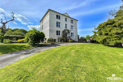
- Price
- £950,000
- Size
- 2.75 acres
Begelly, Kilgetty, Kilgetty/Begelly, Pembrokeshire SA68 Wales
Added on 16/05/2026House with Land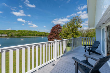
- Price
- Offers in Region of£1,150,000
- Size
- 3 acres
Cosheston, Pembrokeshire, SA72, Pembrokeshire, Pembrokeshire SA72 Wales
Added on 21/04/2026House with Land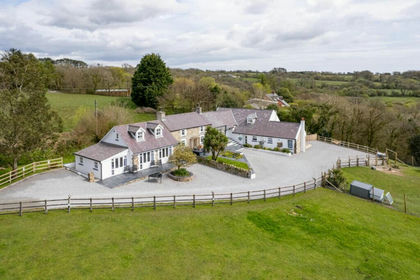
- Price
- £1,150,000
- Size
- 4.3 acres
Amroth Road, Llanteg, SA67, Amroth, Pembrokeshire SA67 Wales
Added on 29/01/2026House with Land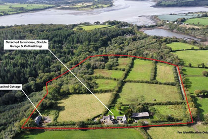
- Price
- Offers in Region of£720,000
- Size
- 15 acres
Landshipping, Narberth, SA67, Martletwy, Pembrokeshire SA67 Wales
Added on 29/01/2026Smallholding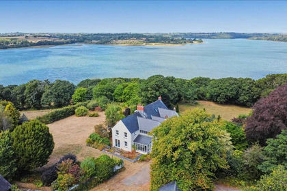
- Price
- Offers in Region of£750,000
- Size
- 5.73 acres
Woodhouse, Landshipping, Near Narberth, Narberth, Martletwy, Pembrokeshire SA67 Wales
Added on 12/08/2026House with Land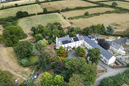
- Price
- £745,000
- Size
- 3.5 acres
Leonardston Road, Llanstadwell, SA73, Milford Haven, Pembrokeshire SA73 Wales
Added on 30/08/2026House with Land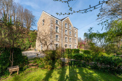
- Price
- Offers in Excess of£1,000,000
- Size
- 3.75 acres
Added on 20/03/2026Mill Conversion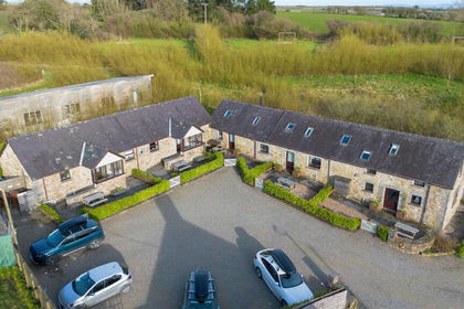
- Price
- £795,000
- Size
- 2.5 acres
Coastal Wood Holiday Cottages, Pendine, Carmarthen, Eglwyscummin, Carmarthenshire SA33 Wales
Added on 29/01/2026Holiday Let Property
- Price
- Offers in Region of£725,000
- Size
- 6.5 acres
Added on 06/07/2026Estate
- Price
- Offers in Region of£900,000
- Size
- 48 acres
Added on 04/08/2026Smallholding