Ings Lane, Toynton St Peter, Spilsby, Lincs, PE23
- Land size
- 14.29 acres
- Bedrooms
- 4
- Bathrooms
- 2
Key Features
- 14.29 Acres (sts) with enclosed paddocks
- Fantastic One Bedroom Annexe
- Rural Property Open Field Views
- Three Bedroom Farmhouse
- Stables, Arena and Outbuildings
- Solar Panel System
- Private & Peaceful Location
- Oil Central Heating, Economy 7 and Multi Fuel Burner
- EPC Rating - D, Council Tax Band - C, Annexe Council Tax Band - A
Description
Occupying an exceptionally private and peaceful position at the end of Ings Lane on the outskirts of Toynton St Peter, Holland House is a registered small holding and a superb equestrian property extending to approximately 14.29 acres (STS). Surrounded by its own land and open countryside, the property offers an enviable, versatile rural lifestyle with very few neighboring properties, making it an ideal retreat for those seeking peace, privacy and space currently used for equestrian activities which also offers the opportunities to be used for self sufficiency- annex as a holiday let which this has been used as in the past, a camping site any many other uses. Having been in the same family since 1945, this property was used for cattle, sheep, horses and to also grow grain.
The main farmhouse provides spacious accommodation comprising a welcoming lounge, kitchen, utility room, family bathroom, generous dining/living room and three first floor bedrooms. A particular feature of the property is the self-contained ground floor annexe, complete with its own entrance, kitchen, utility room, shower room, living/dining room and double bedroom, making it ideal for extended family, dependent relatives, guest accommodation or even as a potential holiday let, subject to any necessary consents.
Externally, the property has been thoughtfully arranged for equestrian use, with enclosed paddocks, two stables, tack room, feed store, outdoor riding arena and an extensive range of outbuildings including workshops, office space, storage buildings and a substantial barn, offering excellent flexibility for equestrian, agricultural or business use (subject to any necessary consents). The generous yard provides ample parking and turning space for horseboxes, trailers and other vehicles.
Despite its peaceful setting, the property remains well positioned for access to a range of equestrian venues, riding clubs and competitions, together with the market towns of Horncastle, Boston and Spilsby.
Properties combining this level of privacy, over 14 acres (STS), extensive outbuildings and established equestrian facilities rarely become available. Holland House offers a unique opportunity to enjoy countryside living in a secluded setting whilst benefiting from versatile accommodation and excellent facilities already in place.
Agent's Note: The property benefits from owned solar panels. The vendor has advised these save approximately £800 per year on energy bills.
Holland House
The house, yard, stables and outbuildings are set within 0.34ha 0.85 acres.Holland house is a 3-bedroom farmhouse with an attached 1-bedroom annex, which is currently being used as a holiday cottage. The main lounge and the annex have an electric circuit of fire alarms which sound through the whole house.The property benefits from a roof mounted solar panel system. The heating source is via electric economy 7 radiators and multi fuel burner as well as oil fired under floor heating (in approximately 50% ) of the property. For further information on the solar panels please contact the office.
Stable Block
Timber built stable block containing two stables on a concrete base with a tack room and store, benefiting from outdoor flood lights with internal lighting.
Outbuildings
Mono-pitched building providing work shop areas currently used for rug washing and repairs with a small office. The vendors have architects plans drawn for its conversion into a further holiday cottage but a planning application has not been submitted.Mono-pitched open fronted barn used for storage and further stabling and further outbuilding with potential for a range of uses. The main yard benefits from security lighting and a number of outdoor water taps.
Outdoor Arena
20m x 20m post and rail fenced outdoor arena with flood lighting, which could easily be extended if required.
Land
The land extends to a total area of 5.44ha (13.44 acres) of grassland. Enclosed by mature hedging is a block of 1.34ha (3.30 acres) of paddock land, which is divided into paddocks. There is an additional 4.10ha (10.14 acres) of grassland which is currently used to make hay.
Agents Note
The property was flooded in 2007, since this date the local flood defences have been enhanced, which Witham Fourth Internal Drainage Board have stated they would be happy to discuss with prospective purchasers. The vendor informs us they are able to obtain building insurance for the property.
EPC
The property has an EPC rating of D
Council Tax Band
The property has a council tax band of A.
Wayleaves, Easement & Rights of Way
The property is sold subject to and with the benefit of all existing rights of way, whether public or private, light support, drainage, water and electricity supplies and all other rights and obligations, easements, quasi-easements and all wayleaves whether referred to or not in these sales particulars.
Drainage Rates
The land is liable for occupier's drainage rates.
PLANS & AREAS
The areas and plans attached to these particulars have been produced in good faith. They are for illustrative purposes only and their accuracy is not guaranteed.
BOUNDARIES
The successful purchaser will be deemed to have full knowledge of all boundaries and neither the vendors nor their agents will be responsible for finding the boundaries for the ownership thereof.
VIEWINGS
Prospective purchasers wishing to view the property should make an appointment through Pygott & Crone.
Map Location
Property details
- Tenure
- Freehold
- Council Tax Band
- TBC
- Date Posted
- 2026-07-18
Market Value Analysis
Compared with 68 Homes with Land listings in East Midlands (10+ acres).
Energy Performance Certificate
Energy Efficiency Rating
Based on UK Energy Performance Certificate standards (EU Directive 2002/91/EC)
Running costs are one side. Planning activity, flood history and ground risks for this location are in the full report.
Utilities & Restrictions
Utilities
- Electricity
- Ask Agent
- Water
- Ask Agent
- Heating
- Ask Agent
- Broadband
- Ask Agent
- Sewerage
- Ask Agent
Rights & Restrictions
- Public Rights of Way
- Ask Agent
- Private Rights of Way
- Ask Agent
- Listed Property
- Ask Agent
- Restrictions
- Ask Agent
Listed status, conservation areas and planning constraints for this location are in the full report.
Property Features
- Accessibility
- Ask Agent
- Parking
- Parking Available
- Garden
- Garden
Beyond the particulars: planning activity, flood history, heritage and ground risks, checked for this exact spot.
Connectivity
Broadband
Fastest speed available at this postcode
72 Mbps
Superfast
Suitable for
- HD streaming
- Video calls
- Web & social
Mobile signal
Predicted 4G and 5G signal; indoor signal depends on building materials.
Ofcom Connected Nations postcode-level predictions. Speeds and signal are modelled, not measured, and vary between addresses and providers.
Signal is the easy part. Planning activity, flood history and protected designations here are in the full report.
Nearest Schools
Primary
- Toynton All Saints Primary School0.9 milesOfsted: Requires improvement *
- Ages
- 3 to 11
- Pupils
- 132
- Type
- Community school
- Halton Holegate CofE Primary School1.3 milesOfsted: Good
- Ages
- 3 to 11
- Pupils
- 62
- Type
- Voluntary controlled school
- Faith
- Church of England
- Spilsby Primary School2.2 milesOfsted: Requires improvement *
- Ages
- 4 to 11
- Pupils
- 175
- Type
- Academy converter
- Great Steeping Primary School2.2 milesOfsted: Requires improvement
- Ages
- 3 to 11
- Pupils
- 81
- Type
- Community school
- Partney Church of England Aided Primary School3.4 milesOfsted: Requires improvement *
- Ages
- 3 to 11
- Pupils
- 63
- Type
- Voluntary aided school
- Faith
- Church of England
Secondary
- King Edward VI Academy2.2 milesOfsted: Good
- Ages
- 11 to 16
- Pupils
- 357
- Type
- Academy sponsor led
- William Lovell Church of England Academy5.6 milesOfsted report card · Mar 2026
- Ages
- 11 to 16
- Pupils
- 347
- Type
- Academy converter
- Faith
- Church of England
- The Giles Academy8 milesOfsted: Good
- Ages
- 11 to 18
- Pupils
- 793
- Type
- Academy sponsor led
- Queen Elizabeth's Grammar Alford - A Selective Academy8.3 milesOfsted report card · May 2026
- Ages
- 11 to 18
- Pupils
- 565
- Type
- Academy converter
- John Spendluffe Foundation Technology College8.5 milesOfsted: Good
- Ages
- 11 to 16
- Pupils
- 650
- Type
- Academy converter
* Latest graded judgement covers quality of education only; no overall grade was issued under the 2024-25 inspection framework.
Distances are straight-line from the advertised location. Source: the national school registers (DfE, Welsh Government, Scottish Government) and Ofsted.
Schools are just the start: sold prices nearby, planning activity and any flood history are in the full report.
Amenities
Supermarket
GP surgery
Pharmacy
Hospital
Straight-line distances from the advertised location. Sources: NHS records, Geolytix supermarket locations, OS Open Greenspace and the national trails registers.
The area stacks up? Now check the location itself: planning nearby, protected designations and past flooding.
Getting Around
Nearest station
Nearest bus stop
Typical drive times
Straight-line distances from the advertised location; drive times are typical free-flow times over OpenStreetMap road data, so allow more at peak. Public transport locations from DfT NaPTAN.
Easy to reach matters. So do planning activity, flood history and ground risks: all in the full report.
Flood Risk
Environment Agency open data, checked around the advertised map pin for the listed acreage. Long-term risk counts flood defences; the planning map's flood zones do not. Provided by LandSale, not the listing agent, and not part of the agent's particulars. Risk varies across a holding, so verify before committing.
Rivers and the sea
Planning map: Flood Zone 1.
Surface water
Not at the pin: mapped about 20 metres away.
These bandings are the summary. Where this location sits on the flood maps, plus planning activity, heritage and ground risks, is in the full report.
Important notice: Information, maps and tags on this page are drawn from the advertising agent's marketing materials or generated automatically. LandSale has not verified them. Relying on these details is at your own risk, always carry out independent checks before committing to a purchase.
LandSale full disclaimer
Marketing information only - not formal particulars. The details on this website are provided for general guidance and do not constitute an offer or contract. Neither LandSale nor the advertising estate/land agent accepts responsibility for any inaccuracy.
1. Source of information
- Listing content: Core description, asking price, tenure, measurements, photographs and planning history originate from the marketing materials of the advertising estate or land agent. LandSale does not author this content and cannot guarantee its accuracy.
- Automated tags & categorisation: Property type, land-use class, acreage bands and similar labels may be applied by machine-learning models. They are intended as a helpful guide only and may not reflect the property's legal status or permitted use.
- Third-party & enriched data layers: Maps, boundary outlines, planning designations, soil reports, broadband coverage and other environmental or location-based insights are licensed from external suppliers. Such data are supplied “as is", may be incomplete or out of date and are subject to change without notice.
2. Verification required
Prospective purchasers must verify critical matters, including but not limited to planning permission, title boundaries, public rights of way, environmental constraints, acreage, services, access and VAT status, through their own inspections, specialist surveys, legal advisers and the selling agent before relying on the information or entering into any contract.
3. No warranty or liability
LandSale gives no warranty, express or implied, as to the accuracy, completeness or fitness for any particular purpose of the information displayed. LandSale shall not be liable for any loss, damage, cost or expense arising directly or indirectly from any use of or reliance on such information, save where liability may not be excluded by law.
4. Updates & feedback
If you believe any detail on this listing is inaccurate, please let us know. We will investigate and, where appropriate, update the listing or notify the agent.
© LandSale | Version 1.3 - August 2026
Listing agent
Pygott & Crone, Boston
24 Wide Bargate Boston Lincolnshire, PE21 6RX
Similar properties for sale
- Price
- Offers in Region of£565,000
- Size
- 15 acres
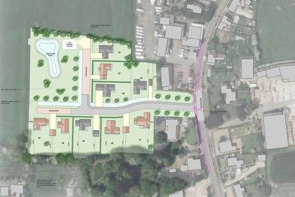
Main Road, Stickney, Boston, Stickney, Lincolnshire PE22 England
Added on 08/10/2026Development Land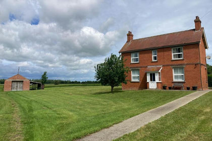
- Price
- £525,000
- Size
- 12 acres
Midgelow, Low Road, Wainfleet St Mary, Skegness, Wainfleet St Mary, Lincolnshire PE24 England
Added on 02/04/2026Smallholding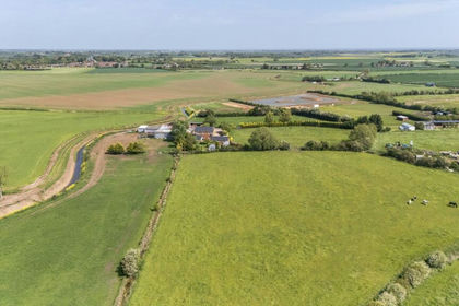
- Price
- Guide Price£750,000
- Size
- 11 acres
Added on 26/06/2026Farmhouse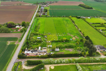
- Price
- £575,000
- Size
- 8.57 acres
Gipsey Drove, Boston, Lincolnshire, PE22, Langriville, Lincolnshire PE22 England
Added on 24/05/2026Farmhouse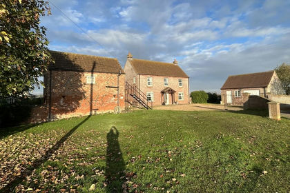
- Price
- Guide Price£720,000
- Size
- 16.46 acres
Browns Drove, Swineshead Bridge, Holland Fen with Brothertoft, Lincolnshire PE20 England
Added on 29/01/2026Small Farm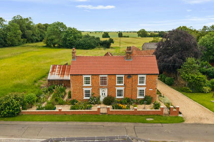
- Price
- £725,000
- Size
- 14 acres
The Hollies Northgate Lane Grimoldby Louth LN11, Grimoldby, Lincolnshire LN11 England
Added on 20/08/2026House with Land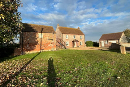
- Price
- Guide Price£720,000
- Size
- 15.86 acres
Catlins Farm, Swineshead Bridge, Swineshead, Lincolnshire PE20 England
Added on 11/02/2026Agricultural Land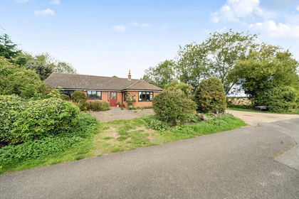
- Price
- Guide Price£675,000
- Size
- 7 acres
Saltfleetby LINCOLNSHIRE, Saltfleetby, Lincolnshire LN11 England
Added on 08/10/2026Smallholding
- Price
- £750,000
- Size
- 10.5 acres
Added on 14/08/2026House with Land
- Price
- Guide Price£670,000
- Size
- 12.28 acres
Added on 16/06/2026Equestrian property