Fishbourne, Isle of Wight
- Land size
- 2.8 acres
- Bedrooms
- 5
- Bathrooms
- 2
Key Features
- CREEKSIDE PROPERTY WITH CREEK OWNERSHIP
- SET IN APPROX 2.8 ACRES OF AWARD-WINNING GARDENS & ANCIENT WOODLAND
- PICTURESQUE SETTING WITH SOUTHERLY OUTLOOK
- CLOSE PROXIMITY TO MAINLAND FERRY LINKS
- STORES, GREENHOUSE & OUTBUILDING
- RARE OPPORTUNITY OFFERING GREAT POTENTIAL
Description
A rare opportunity to acquire a creekside property set in approximately 2.8 acres with Creek ownership and delightful gardens, offering great potential
Ashlake House - Believed to have been built in the 1930s, Ashlake House provides five bedrooms with all principal rooms benefitting from a southerly outlook across the gardens while the drawing room and bedroom on the western side of the house also have glimpses through the gardens to the Creek. The award-winning gardens are a particular feature forming an especially attractive setting and include some ancient woodland while the property also owns approximately 1.1 acres of Creek to the low mean water mark with creek frontage of about 108 metres.
Fishbourne and the adjacent Wootton Bridge flank the picturesque Creek which provides moorings as well as a base for paddle boarding and other water sports with the Royal Victoria Yacht Club in close vicinity. This sought after location, has excellent access to mainland ferry links with the nearby Fishbourne car and passenger ferry, whilst Ryde has fast passenger ferries to Portsmouth (between 10 – 25 minute crossings). Wootton Bridge provides for many amenities, including various shops, restaurants and pubs, Lakeside Spa and a 'Good' rated primary school. A wider range of amenities, including the well-regarded Ryde School is only four miles away.
ACCOMMODATION
GROUND FLOOR
ENTRANCE HALL
CLOAKROOM WC and washbasin.
DINING ROOM Hardwood flooring, glazed door and window providing a southerly outlook over the gardens with access to the terrace. Staircase to First Floor.
STUDY Timber panelled with fireplace with flue already installed for woodburning stove. Glazed door to garden.
SITTING ROOM A lovely, light room with windows and glazed doors to three aspects offering lovely views. A pair of French doors provide access to the garden and offer glimpses of the Creek. Hardwood flooring, stone fireplace.
KITCHEN/BREAKFAST ROOM Fitted with an extensive range of oak fronted cupboards with a range of integral appliances including double oven, four-ring gas hob with extractor over, microwave, fridge freezer, dishwasher and washing machine. Worksurfaces and stainless-steel sink unit. A pair of glazed doors lead into the garden. Walk-in cupboard with wall-mounted boiler and coat hooks. Airing cupboard housing hot water tank and with slatted shelving.
BOOT ROOM With second CLOAKROOM. Tiled flooring and built-in lockers below bench seating.
FIRST FLOOR
Approached via a staircase with a deep window to the northern elevation providing lots of natural light.
LANDING Linen cupboard with slatted shelving.
BEDOOM 1 A triple aspect double bedroom with views over the grounds towards the Creek, built-in cupboards.
BATHROOM EN-SUITE Bath, washbasin and WC.
DRESSING ROOM/BEDROOM 5
BEDROOM 4 Built-in cupboards and sink, garden views.
BEDROOM 3 Southerly views over the garden, built-in cupboard and sink.
BEDROOM 2 A dual aspect double bedroom with built-in cupboards and sink.
SHOWER ROOM Upgraded recently with a modern suite comprising a large walk-in shower, WC, washbasin set above a vanity unit, heated towel rail. SEPARATE WC
OUTSIDE
A gravel driveway provides ample parking to the northern side of the house passing a basic, timber GARAGE/STORE 4.78m x 5m. The spectacular grounds that lead down to the Creek extend to approximately 2.8 acres overall including around 1.1 acres of the creek to the mean low water mark. The gardens are a particular feature and have received Wight in Bloom Awards including Best Climate Resilient Garden. To the south and west of the house are delightful, beautifully planted, lawned gardens with various trees, shrubs and borders making for an idyllic setting that attracts an abundant array of wildlife.
On the southern side of the house, there is an extensive stone paved TERRACE providing delightful outdoor seating and dining areas while wide steps lead down to further lawned gardens flanked by herbaceous borders and a variety of shrubs and trees towards the Creek. The southwestern side of the garden features ancient woodland populated predominantly oak trees with various woodland flowers beneath. There is creek frontage of approximately 108m.
TIMBER STORE 5m x 3.75m Power with windows to the side. GREENHOUSE With modern aluminium frame. To the southeast is a further timber OUTBUILDING served by power and set on a concrete pad that previously accommodated a further outbuilding.
SERVICES Mains water, electricity, drainage and gas. Gas fired central heating.
TENURE Freehold
COUNCIL TAX Band G
EPC Rating D
POSTCODE PO33 4EY
VIEWINGS All viewings will be strictly by prior arrangement with the sole selling agent, Spence Willard.
IMPORTANT NOTICE: Particulars: These particulars are not an offer or contract, nor part of one. You should not rely on statements by Spence Willard or Knight Frank in the particulars or by word of mouth or in writing ('information') as being factually accurate about the property, its condition or its value. Neither Spence Willard nor any joint agent has any authority to make any representations about the property, and accordingly any information given is entirely without responsibility on the part of the agents, seller(s) or lessor(s). 2. Photos etc: The photographs show only certain parts of the property as they appeared at the time they were taken. Areas, measurements and distances given are approximate only. 3. Regulations etc: Any reference to alterations to, or use of, any part of the property does not mean that any necessary planning, building regulations or other consent has been obtained. A buyer or lessee must find out by inspection or in other ways that these matters have been properly dealt with and that all information is correct. 4. VAT: The VAT position relating to the property may change without notice.
Map Location
Property details
- Tenure
- Freehold
- Council Tax Band
- G
- Date Posted
- 2026-07-17
Market Value Analysis
Compared with 1,736 Homes with Land listings in South East England (1+ acres).
Energy Performance Certificate
Energy Efficiency Rating
Based on UK Energy Performance Certificate standards (EU Directive 2002/91/EC)
Running costs are one side. Planning activity, flood history and ground risks for this location are in the full report.
Utilities & Restrictions
Utilities
- Electricity
- Ask Agent
- Water
- Ask Agent
- Heating
- Ask Agent
- Broadband
- Ask Agent
- Sewerage
- Ask Agent
Rights & Restrictions
- Public Rights of Way
- Ask Agent
- Private Rights of Way
- Ask Agent
- Listed Property
- Ask Agent
- Restrictions
- Ask Agent
Listed status, conservation areas and planning constraints for this location are in the full report.
Property Features
- Accessibility
- Ask Agent
- Parking
- Parking Available
- Garden
- Garden
Beyond the particulars: planning activity, flood history, heritage and ground risks, checked for this exact spot.
Connectivity
Broadband
Fastest speed available at this postcode
80 Mbps
Gigabit full fibre · available to 15% of premises
Suitable for
- HD streaming
- Video calls
- Web & social
Mobile signal
Predicted 4G and 5G signal; indoor signal depends on building materials.
Ofcom Connected Nations postcode-level predictions. Speeds and signal are modelled, not measured, and vary between addresses and providers.
Signal is the easy part. Planning activity, flood history and protected designations here are in the full report.
Nearest Schools
Primary
- Wootton Community Primary School0.9 milesNo Ofsted rating
- Ages
- 4 to 11
- Pupils
- 205
- Type
- Community school
- Binstead Primary School1.4 milesNo Ofsted rating
- Ages
- 4 to 11
- Pupils
- 202
- Type
- Community school
- Greenmount Primary School1.9 milesOfsted report card · Jun 2026
- Ages
- 2 to 11
- Pupils
- 280
- Type
- Community school
- Haylands Primary School2.4 milesNo Ofsted rating
- Ages
- 2 to 11
- Pupils
- 357
- Type
- Community school
- Dover Park Primary School2.7 milesNo Ofsted rating
- Ages
- 4 to 11
- Pupils
- 204
- Type
- Community school
Secondary
- Lift Ryde2 milesOfsted: Good
- Ages
- 11 to 18
- Pupils
- 1,461
- Type
- Academy sponsor led
- Medina College3.1 milesOfsted: Requires improvement
- Ages
- 11 to 19
- Pupils
- 1,094
- Type
- Academy converter
- Cowes Enterprise College, An Ormiston Academy4.5 milesNo Ofsted rating
- Ages
- 11 to 19
- Pupils
- 1,156
- Type
- Academy sponsor led
- King's Academy Bay House4.6 milesOfsted: Good *
- Ages
- 11 to 18
- Pupils
- 2,036
- Type
- Academy converter
- Christ The King College4.7 milesOfsted: Requires improvement
- Ages
- 11 to 18
- Pupils
- 1,131
- Type
- Voluntary aided school
- Faith
- Church of England/Roman Catholic
* Latest graded judgement covers quality of education only; no overall grade was issued under the 2024-25 inspection framework.
Distances are straight-line from the advertised location. Source: the national school registers (DfE, Welsh Government, Scottish Government) and Ofsted.
Schools are just the start: sold prices nearby, planning activity and any flood history are in the full report.
Amenities
Supermarket
GP surgery
Pharmacy
Hospital
Green space
Straight-line distances from the advertised location. Sources: NHS records, Geolytix supermarket locations, OS Open Greenspace and the national trails registers.
The area stacks up? Now check the location itself: planning nearby, protected designations and past flooding.
Getting Around
Nearest station
Nearest bus stop
Typical drive times
Straight-line distances from the advertised location; drive times are typical free-flow times over OpenStreetMap road data, so allow more at peak. Public transport locations from DfT NaPTAN.
Easy to reach matters. So do planning activity, flood history and ground risks: all in the full report.
Flood Risk
Environment Agency open data, checked around the advertised map pin for the listed acreage. Long-term risk counts flood defences; the planning map's flood zones do not. Provided by LandSale, not the listing agent, and not part of the agent's particulars. Risk varies across a holding, so verify before committing.
Rivers and the sea
Planning map: Flood Zone 1.
Surface water
These bandings are the summary. Where this location sits on the flood maps, plus planning activity, heritage and ground risks, is in the full report.
Important notice: Information, maps and tags on this page are drawn from the advertising agent's marketing materials or generated automatically. LandSale has not verified them. Relying on these details is at your own risk, always carry out independent checks before committing to a purchase.
LandSale full disclaimer
Marketing information only - not formal particulars. The details on this website are provided for general guidance and do not constitute an offer or contract. Neither LandSale nor the advertising estate/land agent accepts responsibility for any inaccuracy.
1. Source of information
- Listing content: Core description, asking price, tenure, measurements, photographs and planning history originate from the marketing materials of the advertising estate or land agent. LandSale does not author this content and cannot guarantee its accuracy.
- Automated tags & categorisation: Property type, land-use class, acreage bands and similar labels may be applied by machine-learning models. They are intended as a helpful guide only and may not reflect the property's legal status or permitted use.
- Third-party & enriched data layers: Maps, boundary outlines, planning designations, soil reports, broadband coverage and other environmental or location-based insights are licensed from external suppliers. Such data are supplied “as is", may be incomplete or out of date and are subject to change without notice.
2. Verification required
Prospective purchasers must verify critical matters, including but not limited to planning permission, title boundaries, public rights of way, environmental constraints, acreage, services, access and VAT status, through their own inspections, specialist surveys, legal advisers and the selling agent before relying on the information or entering into any contract.
3. No warranty or liability
LandSale gives no warranty, express or implied, as to the accuracy, completeness or fitness for any particular purpose of the information displayed. LandSale shall not be liable for any loss, damage, cost or expense arising directly or indirectly from any use of or reliance on such information, save where liability may not be excluded by law.
4. Updates & feedback
If you believe any detail on this listing is inaccurate, please let us know. We will investigate and, where appropriate, update the listing or notify the agent.
© LandSale | Version 1.3 - August 2026
Listing agent
Spence Willard, Cowes
Waterside House, 72a High Street, Cowes, PO31 7RE
Similar properties for sale
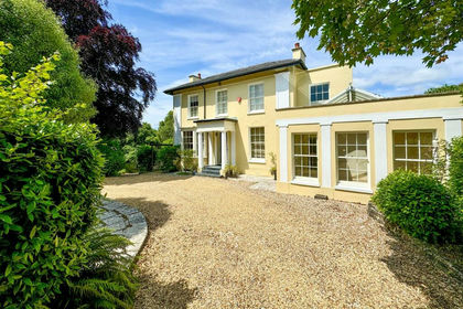
- Price
- Guide Price£1,500,000
- Size
- 1.2 acres
Added on 28/01/2026House with Land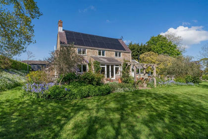
- Price
- Guide Price£1,295,000
- Size
- 1.9 acres
Seaview, Isle of Wight, Nettlestone and Seaview, Isle of Wight PO33 England
Added on 13/05/2026Cottage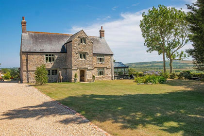
- Price
- Guide Price£1,595,000
- Size
- 1 acres
St Helens, Isle of Wight, Brading, Isle of Wight PO36 England
Added on 03/09/2026Country Home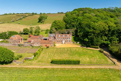
- Price
- Guide Price£1,250,000
- Size
- 19 acres
Blackwater, Isle of Wight, Arreton, Isle of Wight PO30 England
Added on 18/09/2026Country Home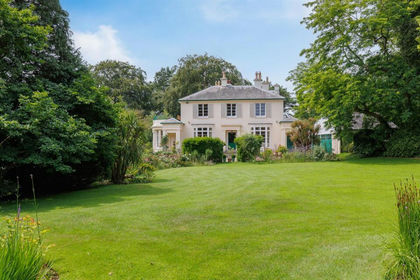
- Price
- Guide Price£1,250,000
- Size
- 4.36 acres
Watergate Road, Newport, Isle of Wight, Newport and Carisbrooke, Isle of Wight PO30 England
Added on 04/07/2026Country Home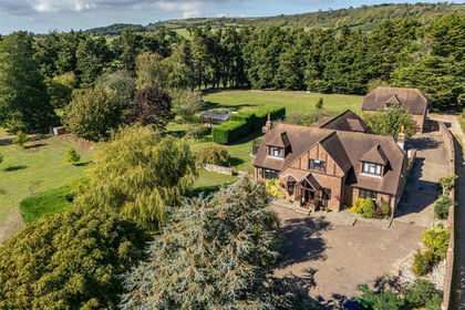
- Price
- Guide Price£1,150,000
- Size
- 11.5 acres
Added on 01/10/2026House with Land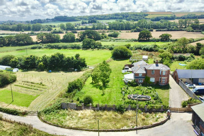
- Price
- Guide Price£1,600,000
- Size
- 12.22 acres
Forest Road, Newport, PO30, Newport and Carisbrooke, Isle of Wight PO30 England
Added on 29/01/2026Farmhouse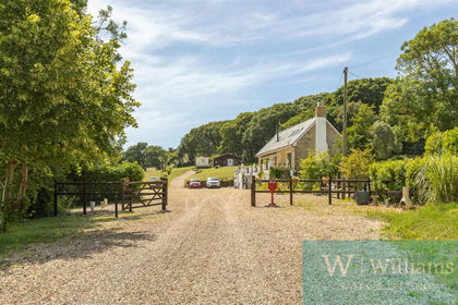
- Price
- £1,185,000
- Size
- 4.85 acres
Newport Road, Godshill, Ventnor, Godshill, Isle of Wight PO38 England
Added on 30/07/2026Barn Conversion
- Price
- Guide Price£1,450,000
- Size
- 24 acres
Added on 10/07/2026Equestrian property
- Price
- Guide Price£1,250,000
- Size
- 1.12 acres
Bembridge, Isle of Wight, Bembridge, Isle of Wight PO35 England
Added on 23/05/2026House with Land