Trapp, Llandeilo, Carmarthenshire.
- Land size
- 54 acres
- Bedrooms
- 4
Key Features
- Exceptionally Well Located Small Farm
- Beautiful Scenery with views of Carreg Cennen Castle
- Useful Range of Outbuildings, Ripe for Improvement
- Approximately 54 Acres of Land
- Detached 4 Bedroom Farmhouse
- Close to Trapp Village & Llandeilo Town
- EPC: 3G
Description
Exceptionally well located small farm comprising a traditional stone built farmhouse, mainly stone outbuildings, with much potential and about 54 acres of productive land and woodland.
The property stands on the outskirts of the popular village of Trapp and is approached over its own tarmacadam tree lined driveway with stone entrance.
There are magnificent views from the land over the surrounding countryside of the Cennen Valley to the dramatic Carreg Cennen castle.
The farmhouse comprises 2 reception rooms and 4 bedrooms and contains original features of massive oak ceiling beams.
The outbuildings have a separate entrance from the house and are based around a central yard, formerly cobbled, on four sides with ranges of traditional buildings including cart shed, cow housing and original Victorian stables. These, subject to the appropriate planning permission, would make excellent holiday accommodation.
Trapp is a renowned tourist destination mainly based around its magnificent castle and surrounding countryside, whilst the Towy valley in general is a hugely popular area for visitors with the botanical gardens of Wales, Aberglasney house and gardens and other castles of Dinefwr and Dryslwyn.
Llandeilo is only 3 miles away with amenities including primary and secondary schools, stations on the heart of Wales railway and a range of individual shopping outlets.
There are a variety of places to eat and drink in both Llandeilo and the nearer Ffairfach village.
The locality is considered accessible being only a 20 minute drive to the M4 extension at Crosshands.
The farmhouse accommodation briefly comprises hall, sitting room, dining room, rear hall, utility room, bathroom, kitchen and pantry. At first floor level are four bedrooms and en-suite.
CTFRL
THE FARMHOUSE
Entrance Door
Upvc part glazed door to:
Entrance Hall
Understairs cupboard.
Sitting Room
Stone fireplace with calor gas fire, dado rail, electric heater and upvc double glazed window.
Dining Room
Tiled fireplace with calor gas fire, ceiling beam, electric heater and upvc double glazed window.
Rear Hall
Utility
Single drainer stainless steel sink unit with cupboards below, plumbing for utilities, part wall tiling and upvc double glazed window and rear door.
Bathroom
Panelled bath, pedestal wash hand basin, shower in separate cubicle. Part wall tiling, electric wall heater and upvc double glazing.
Separate WC
Kitchen/Breakfast Room
Aga solid fuel range cooker, base and drawer units, work surfaces, part tiled walls, ceiling beam and upvc double glazing.
Pantry/Stores
Original slate slab, wall shelving, access to roof space, connection for gas cooker and upvc double glazing.
First Floor
Stairs to Half Landing with night storage heater and wall lights.
Landing
Master Bedroom
Dual aspect upvc double glazed windows, wall lights, airing cupboard. Includes:
En Suite
Low level WC, bidet and pedestal wash hand basin with mirror above. Wall lights.
Bedroom 2
Upvc double glazing.
Bedroom 3
Upvc double glazing.
Bedroom 4
Upvc double glazing and pull light switch.
EXTERNALLY
Garden area comprising a lawn with wall and post and rail surround with sitting area.
THE OUTBUILDINGS
To the rear of the house stands;
Block built carport with attached shed
Steel framed Dutch barn and one other
Cowshed
13 tie cowshed with feed hopper.
Work Shop
LIght.
First Floor.
Store
Dairy
Concre block built former dairy.
Parlour
Collecting Yard
Concrete Block Open Fronted Cattle Sheds
Cow House
Calf Shed
Stables
Original Victorian stable fittings including hay racks and troughs.
Cart Shed
Hay Barn
Of block and sheeted construction
Cubicle Shed
Covered Silo
Former Manure Store
Further Cubicle House with Lean-to Silo
With cow cubicles and central passage.
THE LAND.
Amounting to 53.9 acres, or thereabouts, the land as shown on the plan provided includes enclosures of flat and gently sloping pasture land and meadow suitable for silage.
The fields are fenced to sheep and are naturally watered.
The land has a south facing aspect and include fantastic far reaching views over farmland, Carreg Cennen castle and the open mountains of the Brecon Beacons beyond.
The land would suit a variety of uses for livestock or horses etc.
The property does include some natural mainly hard woodland together with one enclosure across the Trapp road comprising mature trees including beech and oak.
No entitlements are included with this property.
Agents Note
Access to the property and land is over a tarmacadamed driveway in the ownership of this property although Carreg Cennen house has a right of way over it.
The drive is a particularly feature of the property with its flanking stone gateway opening onto the driveway flanked by specimen beach trees.
Broadband and Mobile phone
There is broadband and mobile signal in this location. Please check with your provider.
Local Authority
Carmarthenshire County Council, Spilman Street, Carmarthen, Tel. No. .
Viewing
By appointment with the Selling Agents.
Map Location
Property details
- Tenure
- Freehold
- Council Tax Band
- E
- Date Posted
- 2026-06-24
Market Value Analysis
Compared with 78 Farms & Smallholdings listings in Wales (50+ acres).
Energy Performance Certificate
Energy Efficiency Rating
Based on UK Energy Performance Certificate standards (EU Directive 2002/91/EC)
Running costs are one side. Planning activity, flood history and ground risks for this location are in the full report.
Utilities & Restrictions
Utilities
- Electricity
- Ask Agent
- Water
- Ask Agent
- Heating
- Electric Heating
- Broadband
- Ask Agent
- Sewerage
- Ask Agent
Rights & Restrictions
- Public Rights of Way
- Ask Agent
- Private Rights of Way
- Ask Agent
- Listed Property
- Ask Agent
- Restrictions
- Ask Agent
Listed status, conservation areas and planning constraints for this location are in the full report.
Property Features
- Accessibility
- Ask Agent
- Parking
- Parking Available
- Garden
- Garden
Beyond the particulars: planning activity, flood history, heritage and ground risks, checked for this exact spot.
Connectivity
Broadband
Fastest speed available at this postcode
1.8 Gbps
Gigabit full fibre · available to 62% of premises
Suitable for
- 4K streaming on every screen
- Full-time home working
- Online gaming & big downloads
Mobile signal
Outdoor predictions; indoor signal depends on building materials.
Ofcom Connected Nations postcode-level predictions. Speeds and signal are modelled, not measured, and vary between addresses and providers.
Signal is the easy part. Planning activity, flood history and protected designations here are in the full report.
Nearest Schools
Primary
- Ffairfach2 miles
- Pupils
- 69
- Type
- Nursery, Infants & Juniors
- Language
- Welsh medium school / provision (including transitional)
- Llandeilo2.6 miles
- Pupils
- 212
- Type
- Nursery, Infants & Juniors
- Language
- English medium school / provision
- Teilo Sant2.7 miles
- Pupils
- 161
- Type
- Nursery, Infants & Juniors
- Language
- Welsh medium school / provision (including transitional)
- Llandybie3.1 miles
- Pupils
- 201
- Type
- Nursery, Infants & Juniors
- Language
- Welsh medium school / provision (including transitional)
- Bro Banw4.1 miles
- Pupils
- 441
- Type
- Infants & Juniors
- Language
- Dual language school / provision (Welsh and English) (including transitional)
Secondary
- Ysgol Bro Dinefwr2.3 miles
- Pupils
- 1,092
- Type
- Secondary (ages 11-19)
- Language
- Dual language school / provision (Welsh and English) (including transitional)
- Ysgol Dyffryn Aman4.1 miles
- Pupils
- 1,547
- Type
- Secondary (ages 11-19)
- Language
- Dual language school / provision (Welsh and English) (including transitional)
- Ysgol Maes Y Gwendraeth6.6 miles
- Pupils
- 1,084
- Type
- Secondary (ages 11-19)
- Language
- Welsh medium school / provision (including transitional)
- Ysgol Gymraeg Ystalyfera Bro Dur9.8 miles
- Pupils
- 1,557
- Type
- Middle (ages 3-19)
- Language
- Welsh medium school / provision (including transitional)
- Pontarddulais Comprehensive School9.9 miles
- Pupils
- 848
- Type
- Secondary (ages 11-16)
- Language
- English medium school / provision
Distances are straight-line from the advertised location. Source: the national school registers (DfE, Welsh Government, Scottish Government) and Ofsted.
Schools are just the start: sold prices nearby, planning activity and any flood history are in the full report.
Amenities
Supermarket
GP surgery
Pharmacy
Straight-line distances from the advertised location. Sources: NHS records, Geolytix supermarket locations, OS Open Greenspace and the national trails registers.
The area stacks up? Now check the location itself: planning nearby, protected designations and past flooding.
Getting Around
Nearest station
Nearest bus stop
Typical drive times
Straight-line distances from the advertised location; drive times are typical free-flow times over OpenStreetMap road data, so allow more at peak. Public transport locations from DfT NaPTAN.
Easy to reach matters. So do planning activity, flood history and ground risks: all in the full report.
Flood Risk
From Natural Resources Wales flood map open data, checked around the advertised map pin and allowing for the listed acreage where known. This summary comes from LandSale, the advertising platform, not from the listing agent, and is not part of the agent's particulars. Risk can vary across a single holding, so verify anything critical through your own searches before committing.
Rivers and the sea
Mapped within the area searched, not at the advertised map pin itself.
Surface water
Mapped within the area searched, not at the advertised map pin itself.
The detail behind these bandings
The full report pinpoints where this location sits on the flood maps, and runs the deeper checks that usually only surface after an offer.
- Exact flood zones & annual chances (included in the full report)
- Any recorded past flooding (included in the full report)
- Planning activity nearby (included in the full report)
- Heritage & conservation (included in the full report)
- Protected nature designations (included in the full report)
- Ground risks (included in the full report)
- Sold prices nearby (included in the full report)
£14.99 · one-off purchase
By LandSale, the platform. Not provided by the listing agent. Ready in about a minute.
Important notice: Information, maps and tags on this page are drawn from the advertising agent's marketing materials or generated automatically. LandSale has not verified them. Relying on these details is at your own risk, always carry out independent checks before committing to a purchase.
LandSale full disclaimer
Marketing information only - not formal particulars. The details on this website are provided for general guidance and do not constitute an offer or contract. Neither LandSale nor the advertising estate/land agent accepts responsibility for any inaccuracy.
1. Source of information
- Listing content: Core description, asking price, tenure, measurements, photographs and planning history originate from the marketing materials of the advertising estate or land agent. LandSale does not author this content and cannot guarantee its accuracy.
- Automated tags & categorisation: Property type, land-use class, acreage bands and similar labels may be applied by machine-learning models. They are intended as a helpful guide only and may not reflect the property's legal status or permitted use.
- Third-party & enriched data layers: Maps, boundary outlines, planning designations, soil reports, broadband coverage and other environmental or location-based insights are licensed from external suppliers. Such data are supplied “as is", may be incomplete or out of date and are subject to change without notice.
2. Verification required
Prospective purchasers must verify critical matters, including but not limited to planning permission, title boundaries, public rights of way, environmental constraints, acreage, services, access and VAT status, through their own inspections, specialist surveys, legal advisers and the selling agent before relying on the information or entering into any contract.
3. No warranty or liability
LandSale gives no warranty, express or implied, as to the accuracy, completeness or fitness for any particular purpose of the information displayed. LandSale shall not be liable for any loss, damage, cost or expense arising directly or indirectly from any use of or reliance on such information, save where liability may not be excluded by law.
4. Updates & feedback
If you believe any detail on this listing is inaccurate, please let us know. We will investigate and, where appropriate, update the listing or notify the agent.
© LandSale | Version 1.3 - August 2026
Listing agent
Clee Tompkinson & Francis, Llandeilo
111 Rhosmaen Street, Llandeilo, SA19 6EN
View agent profileSimilar properties for sale
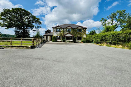
- Price
- Offers in Region of£850,000
- Size
- 56 acres
Added on 26/06/2026Farm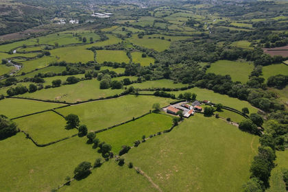
- Price
- Guide Price£700,000
- Size
- 42.26 acres
Llanedi, Pontarddulais, SA4, Pontarddulais, Carmarthenshire SA4 Wales
Added on 29/01/2026Small Farm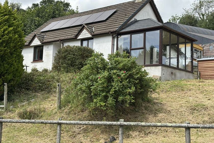
- Price
- £550,000
- Size
- 45 acres
Talley, Llandeilo, Carmarthenshire., Talley, Carmarthenshire SA19 Wales
Added on 24/08/2026Smallholding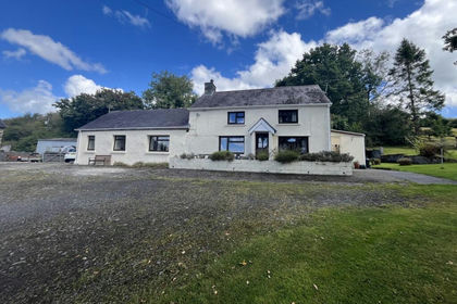
- Price
- £745,000
- Size
- 62 acres
Crugybar, Llanwrda, Carmarthenshire., Cynwyl Gaeo, Carmarthenshire SA19 Wales
Added on 29/01/2026Smallholding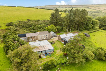
- Price
- Offers in Region of£725,000
- Size
- 65 acres
Lletty Farm, Llannon, Llanelli, Carmarthenshire, Llannon, Carmarthenshire SA14 Wales
Added on 22/06/2026Farmland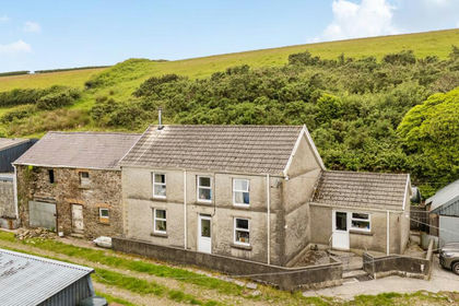
- Price
- Guide Price£725,000
- Size
- 66 acres
Lletty Farm, Llannon, Llanelli, Carmarthenshire, Llannon, Carmarthenshire SA14 Wales
Added on 22/06/2026Smallholding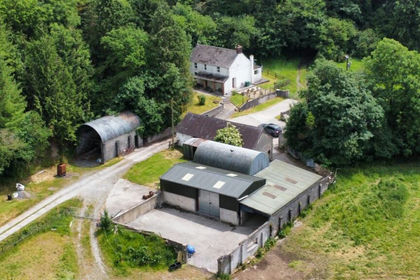
- Price
- £800,000
- Size
- 84 acres
Whitemill, Carmarthen, SA32, Abergwili, Carmarthenshire SA32 Wales
Added on 30/07/2026Farm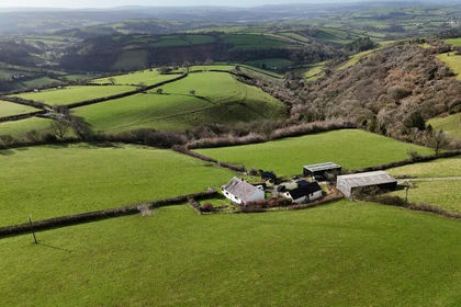
- Price
- Offers in Region of£769,000
- Size
- 30 acres
Whitemill, Carmarthen. SA32, Abergwili, Carmarthenshire SA32 Wales
Added on 29/01/2026Smallholding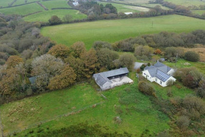
- Price
- Offers in Region of£575,000
- Size
- 37 acres
Meinciau, Kidwelly, SA17, Llangyndeyrn, Carmarthenshire SA17 Wales
Added on 29/01/2026Smallholding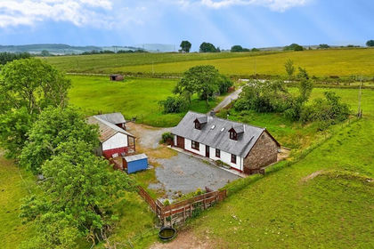
- Price
- £595,000
- Size
- 46 acres
Gwernogle, Carmarthen, Carmarthenshire., Llanfihangel Rhos-y-Corn, Carmarthenshire SA32 Wales
Added on 29/01/2026Livestock Farm