Bury Road, Thetford, Norfolk, IP24
- Land size
- 0.97 acres
Description
The chance to acquire a unique development opportunity to convert a historic church into 5 dwellings. The Church of St Mary the Less can trace its foundation back to the 11th Century, with the fabric of the building predominantly from the 14th century and a rebuild in 19th century.
Full planning permission was granted in November 2024 to convert the property into five separate dwellings, retaining the structure of the existing building.
The property extends to approximately 0.97 acres (0.39 hectares) and is comprised of the church building and churchyard. It is bounded by Bury Road to the north and east, residential properties to the south, and St Mary's Court to the west, which provides vehicular access to the site.
The property is well screened by established trees around the perimeter. The churchyard has recently become overgrown with low-level vegetation and scrub.
Pedestrian access to the site can be taken from Bury Road. The proposed vehicle access to the site is taken from St Mary's Court.
Map Location
Property details
- Tenure
- Freehold
- Council Tax Band
- Ask Agent
- Date Posted
- 2026-05-29
Utilities & Restrictions
Utilities
- Electricity
- Ask Agent
- Water
- Ask Agent
- Heating
- Ask Agent
- Broadband
- Ask Agent
- Sewerage
- Ask Agent
Rights & Restrictions
- Public Rights of Way
- Ask Agent
- Private Rights of Way
- Ask Agent
- Listed Property
- Ask Agent
- Restrictions
- Ask Agent
Property Features
- Accessibility
- Ask Agent
- Parking
- Ask Agent
- Garden
- Ask Agent
Important notice: Information, maps and tags on this page are supplied by the advertising agent or generated automatically. LandSale has not verified them. Relying on these details is at your own risk, always carry out independent checks before committing to a purchase.
LandSale full disclaimer
Marketing information only - not formal particulars. The details on this website are provided for general guidance and do not constitute an offer or contract. Neither LandSale nor the advertising estate/land agent accepts responsibility for any inaccuracy.
1. Source of information
- Agent-supplied content: Core description, asking price, tenure, measurements, photographs and planning history are uploaded by the appointed agent, who remains solely responsible for their accuracy.
- Automated tags & categorisation: Property type, land-use class, acreage bands and similar labels may be applied by machine-learning models. They are intended as a helpful guide only and may not reflect the property's legal status or permitted use.
- Third-party & enriched data layers: Maps, boundary outlines, planning designations, soil reports, broadband coverage and other environmental or location-based insights are licensed from external suppliers. Such data are supplied “as is", may be incomplete or out of date and are subject to change without notice.
2. Verification required
Prospective purchasers must verify critical matters, including but not limited to planning permission, title boundaries, public rights of way, environmental constraints, acreage, services, access and VAT status, through their own inspections, specialist surveys, legal advisers and the selling agent before relying on the information or entering into any contract.
3. No warranty or liability
LandSale gives no warranty, express or implied, as to the accuracy, completeness or fitness for any particular purpose of the information displayed. LandSale shall not be liable for any loss, damage, cost or expense arising directly or indirectly from any use of or reliance on such information, save where liability may not be excluded by law.
4. Updates & feedback
If you believe any detail on this listing is inaccurate, please let us know. We will investigate and, where appropriate, update the listing or notify the agent.
© LandSale | Version 1.2 - January 2026
Listing agent
Carter Jonas, Cambridge
The Marque, 141 Hills Road, Cambridge, CB2 8RJ
Similar properties for sale
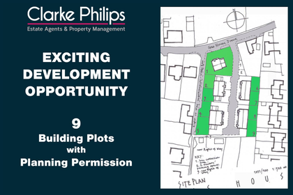
- Price
- Guide Price£600,000
- Size
- 0.74 acres
Added on 29/01/2026Development Land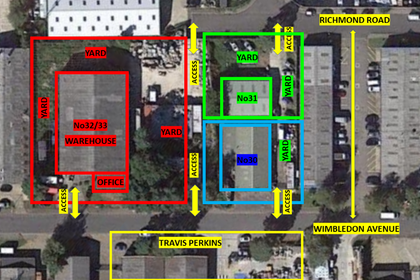
- Price
- Offers in Region of£500,000
- Size
- 0.06 acres
31 Wimbledon Avenue, Brandon, Suffolk, IP27, Brandon, Suffolk IP27 0NZ England
Added on 18/07/2026Warehouse- Price
- Offers in Region of£500,000
- Size
- 0.09 acres
30 Wimbledon Avenue, Brandon, Suffolk, IP27, Brandon, Suffolk IP27 0NZ England
Added on 18/07/2026Warehouse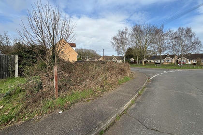 Added on 25/02/2026Development Land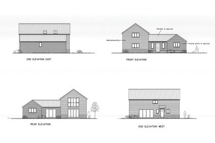
- Price
- Guide Price£250,000
- Size
- 0.44 acres
Chare Road, Stanton, Bury St Edmunds, Suffolk, IP31, Stanton, Suffolk IP31 2DY England
Added on 08/03/2026Building Plot
- Price
- POA
- Size
- 21.02 acres
Added on 27/02/2026Development Land
- Price
- Guide Price£1,750,000
- Size
- 172.94 acres
Added on 15/04/2026Development Land
- Price
- £120,000
Added on 14/06/2026Development Land
- Price
- POA
- Size
- 22.96 acres
East Anglia Logistics Hub, Snetterton, NR16 2FB, Snetterton, Norfolk NR16 2FB England
Added on 29/01/2026Warehouse
- Price
- POA
- Size
- 5.39 acres
Twells Business Park, Falcon Road, Snetterton, NR16 2FB, Snetterton, Norfolk NR16 2FB England
Added on 07/03/2026Undeveloped Land