Kilmorie House, Killearn G63
- Land size
- 3 acres
- Bedrooms
- 6
- Bathrooms
- 4
Description
A fabulous detached country home set amidst approx 3 acres and benefitting from a prominent elevated location above Killearn, enjoying spectacular southerly views over the village, across open countryside, with Conic Hill, Ben Lomond and Loch Lomond visible in the distance.
Originally built in 1902 and further extended in 1994, this substantial detached residence offers flexible accommodation extending to 13 principal apartments, all set within superb, mature garden grounds.
Our floorplan will provide a clearer understanding of the layout, but the accommodation on the ground floor comprises: entrance hall, main reception hall with storage and cloakroom off, bay-windowed living room with French doors opening to the garden, sun room, bay-windowed dining room, large games room, breakfasting kitchen, family room, laundry, conservatory and office.
On the first floor, there is a spacious upper hall leading to the principal bay-windowed bedroom with en-suite and dressing room. There are five further double bedrooms, three additional bathrooms, study and further office.
As mentioned previously, from the gardens and all front-facing accommodation one can fully appreciate spectacular, uninterrupted views over the surrounding countryside and hills.
From Ibert Road, a sweeping driveway provides access to the front of the house and continues to the rear where there is a large integral double garage. Tucked into one corner of the garden is a gardener’s cottage which offers obvious further potential for additional accommodation or outbuildings, subject to requirements.
The main gardens have been thoughtfully laid out with sweeping lawns, established shrub beds, a sheltered paved patio and a timber summer house positioned to the rear. In addition to the main garden, there is a charming private woodland with stream, dry stone dyke bridge and a seasonal carpet of bluebells when in bloom.
Killearn is one of Stirlingshire’s most desirable villages, set on the edge of the Loch Lomond & The Trossachs National Park. It is highly regarded for its picturesque rural setting, strong sense of community and excellent accessibility, lying within easy reach of Glasgow while retaining a peaceful countryside atmosphere. The village offers a range of local amenities including shops, cafes, a primary school and leisure facilities, with nearby Milngavie and Stirling providing further extensive services and transport links. Surrounded by rolling farmland, woodland and dramatic Highland scenery, Killearn is particularly sought-after for its balance of rural charm and commuter convenience.
EPC Rating: E
Map Location
Property details
- Tenure
- Freehold
- Council Tax Band
- Ask Agent
- Date Posted
- 2026-05-02
Market Value Analysis
Compared with 413 Homes with Land listings in Scotland (1+ acres).
Utilities & Restrictions
Utilities
- Electricity
- Ask Agent
- Water
- Ask Agent
- Heating
- Ask Agent
- Broadband
- Ask Agent
- Sewerage
- Ask Agent
Rights & Restrictions
- Public Rights of Way
- Ask Agent
- Private Rights of Way
- Ask Agent
- Listed Property
- Ask Agent
- Restrictions
- Ask Agent
Property Features
- Accessibility
- Ask Agent
- Parking
- Parking Available
- Garden
- Private Garden
Connectivity
Broadband
Fastest speed available at this postcode
1.8 Gbps
Gigabit full fibre · available to 18% of premises
Suitable for
- 4K streaming on every screen
- Full-time home working
- Online gaming & big downloads
Mobile signal
Outdoor predictions; indoor signal depends on building materials.
Ofcom Connected Nations postcode-level predictions. Speeds and signal are modelled, not measured, and vary between addresses and providers.
Nearest Schools
Primary
- Killearn Primary School738 metres
- Pupils
- 188
- Type
- Non-denominational
- Balfron Primary School2.4 miles
- Pupils
- 179
- Type
- Non-denominational
- Drymen Primary School4.1 miles
- Pupils
- 117
- Type
- Non-denominational
- Strathblane Primary School4.3 miles
- Pupils
- 166
- Type
- Non-denominational
- Fintry Primary School5.4 miles
- Pupils
- 56
- Type
- Non-denominational
Secondary
- Balfron High School2.5 miles
- Pupils
- 893
- Type
- Non-denominational
- Douglas Academy6.5 miles
- Pupils
- 1,058
- Type
- Non-denominational
- Bearsden Academy7.9 miles
- Pupils
- 1,213
- Type
- Non-denominational
- Drumchapel High School8.8 miles
- Pupils
- 706
- Type
- Non-denominational
- St Peter the Apostle High School8.9 miles
- Pupils
- 1,517
- Type
- Roman Catholic
Distances are straight-line from the advertised location. Source: the national school registers (DfE, Welsh Government, Scottish Government) and Ofsted.
Amenities
Supermarket
GP surgery
Pharmacy
Green space
Straight-line distances from the advertised location. Sources: NHS records, Geolytix supermarket locations, OS Open Greenspace and the national trails registers.
Getting Around
Nearest station
Nearest bus stop
Typical drive times
Straight-line distances from the advertised location; drive times are typical free-flow times over OpenStreetMap road data, so allow more at peak. Public transport locations from DfT NaPTAN.
Flood Risk
From SEPA flood map open data, checked around the advertised map pin and allowing for the listed acreage where known. This summary comes from LandSale, the advertising platform, not from the listing agent, and is not part of the agent's particulars. Risk can vary across a single holding, so verify anything critical through your own searches before committing.
Rivers and the sea
Surface water
The detail behind these bandings, including exact zones and annual chances, any recorded past flooding, plus planning, heritage, nature and ground checks, is in the .
Important notice: Information, maps and tags on this page are supplied by the advertising agent or generated automatically. LandSale has not verified them. Relying on these details is at your own risk, always carry out independent checks before committing to a purchase.
LandSale full disclaimer
Marketing information only - not formal particulars. The details on this website are provided for general guidance and do not constitute an offer or contract. Neither LandSale nor the advertising estate/land agent accepts responsibility for any inaccuracy.
1. Source of information
- Agent-supplied content: Core description, asking price, tenure, measurements, photographs and planning history are uploaded by the appointed agent, who remains solely responsible for their accuracy.
- Automated tags & categorisation: Property type, land-use class, acreage bands and similar labels may be applied by machine-learning models. They are intended as a helpful guide only and may not reflect the property's legal status or permitted use.
- Third-party & enriched data layers: Maps, boundary outlines, planning designations, soil reports, broadband coverage and other environmental or location-based insights are licensed from external suppliers. Such data are supplied “as is", may be incomplete or out of date and are subject to change without notice.
2. Verification required
Prospective purchasers must verify critical matters, including but not limited to planning permission, title boundaries, public rights of way, environmental constraints, acreage, services, access and VAT status, through their own inspections, specialist surveys, legal advisers and the selling agent before relying on the information or entering into any contract.
3. No warranty or liability
LandSale gives no warranty, express or implied, as to the accuracy, completeness or fitness for any particular purpose of the information displayed. LandSale shall not be liable for any loss, damage, cost or expense arising directly or indirectly from any use of or reliance on such information, save where liability may not be excluded by law.
4. Updates & feedback
If you believe any detail on this listing is inaccurate, please let us know. We will investigate and, where appropriate, update the listing or notify the agent.
© LandSale | Version 1.2 - January 2026
Listing agent
Clyde Property, Bearsden
68 Drymen Road, Bearsden, Glasgow, G61 2RH
Similar properties for sale
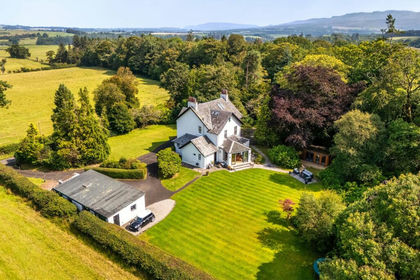
- Price
- Guide Price£980,000
- Size
- 1.32 acres
Croftamie, Stirlingshire, Stirling and Strathallan, Stirling G63 Scotland
Added on 29/01/2026Country Home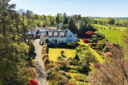
- Price
- Offers Over£1,050,000
- Size
- 10.03 acres
Culbowie Road, Buchlyvie, Stirling, Stirlingshire, Stirling and Strathallan, Stirling FK8 Scotland
Added on 02/08/2026Country Home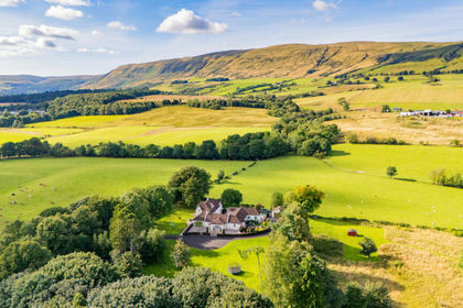
- Price
- Offers Over£999,000
- Size
- 12 acres
Added on 14/08/2026Country Home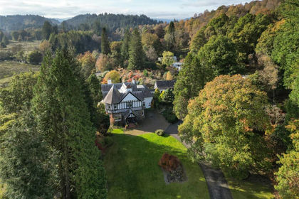
- Price
- Offers Over£1,235,000
- Size
- 85.3 acres
Lochard Road, Aberfoyle, Stirling, Stirlingshire, Stirling and Strathallan, Stirling FK8 Scotland
Added on 11/06/2026Country Estate
- Price
- Offers Over£1,350,000
- Size
- 3.8 acres
Moss-side Hall of Boquhapple, Thornhill, FK8, Stirling and Strathallan, Stirling FK8 Scotland
Added on 08/07/2026Country Home
- Price
- Offers Over£895,000
- Size
- 1.5 acres
Added on 12/06/2026Country Home