Cwm House, Penmark, The Vale of Glamorgan, CF62
- Land size
- 2.1 acres
- Bedrooms
- 4
- Bathrooms
- 4
Key Features
- Unique opportunity to purchase a characterful property with high quality flooring and fixtures.
- Great scope to add finishing touches.
- Front porch, central hallway and cloakroom, lounge with feature fireplace, kitchen dining room and utility room off.
- Four bedrooms, 3 en-suites and a family bathroom.
- Outside a sweeping gravelled approach driveway splits two paddocks and leads to the side of the property where there is extensive parking and a stable block.
- The property and grounds extend to approximately 2.1 acres.
- Located on the periphery of Penmark village occupying a secluded rural situation.
Description
Cottage style composite front door with diamond leaded glass inlay opens to the entrance HALLWAY with quality oak flooring, natural stone accented wall with large window allowing in plenty of natural light.
Door to the centrally positioned INNER HALLWAY, a well-sized space with oak floors, large window to the front and further accommodation extending to both sides. A WC has stylish subway tiling and enjoys natural light with a window to the rear and sliding double doors to cloaks cupboard.
To the left of the hall lies the principal RECEPTION ROOM with two large, front facing, deep sill windows taking in garden and paddock views. A stunning natural stone original fireplace and bread oven with floating mantle provides a fabulous focal point.
Opposite lies the country style KITCHEN DINING ROOM with a continuation of the oak flooring, wooden cabinetry with induction hob, integrated fridge freezer, dishwasher and ceramic sink with large window to the front elevation over. This dual aspect, sociable room is flooded with natural light and enjoys access to the garden via a stable door. A useful UTILITY ROOM with open shelving, countertop below sink, plumbing provision for white goods and floor mounted oil boiler lies to the rear of the kitchen.
'S' shaped spindle stairs rise to the first floor LANDING with part pitched ceiling adding character, enjoys light from two windows. BEDROOM ONE is a sizable double bedroom and enjoys views over the front garden. The room benefits from a fully tiled EN-SUITE BATHROOM with corner Jacuzzi bath, separate mains fed shower and WC, basin and Velux above.
BEDROOM TWO is double room taking in front facing views of the garden. A half-panelled BATHROOM, fitted with an impressive clawfoot freestanding bath with Velux over, has accents of natural stone, highlighted with wall mounted lighting and a heritage style, high cistern toilet and pedestal basin, adding a touch of traditional style.
The further two bedrooms complete the accommodation for upstairs. BEDROOM THREE is a double, front facing room with an EN-SUITE comprising fully tiled shower, plumbing provision for toilet and WC. BEDROOM FOUR is a dual aspect double room with a semi-open plan EN-SUITE with an electric fitted corner shower enclosure and provision for WC and toilet.
Timber constructed stabling lies to the turn of the driveway with a defined, post and wire gated yard. Comprising two stables and tack room to the side. The majority of the land lies to the front and side, made up of fenced paddocks with wooded area to the rear totaling approximately 2.1 acres.
Garden
Timber constructed stabling lies to the turn of the driveway with a defined, post and wire gated yard. Comprising two stables and tack room to the side. The majority of the land lies to the front and side, made up of fenced paddocks with wooded area to the rear totaling approximately 2.1 acres.
Disclaimer
Important Notice: These particulars are provided as a general guide only and do not form part of any offer or contract. Whilst Herbert R Thomas has taken reasonable care in preparing them, the information has been provided by the seller and other sources and is believed to be materially correct at the time of publication. Prospective purchasers should satisfy themselves as to the accuracy of all information by inspection and through their own legal and professional advisers. All measurements, floorplans and distances are approximate. Services, appliances and installations have not been tested. Images, CGI and digitally enhanced photographs are for illustrative purposes only and may not represent the property's current condition or items included within the sale.
Money Laundering Regulations: Purchasers will be required to complete identity and anti-money laundering checks. A mandatory £65 (inclusive of VAT) compliance and administration fee per property purchase applies.
Referral...
Map Location
Property details
- Tenure
- Freehold
- Council Tax Band
- H
- Date Posted
- 2026-03-18
Market Value Analysis
Compared with 1,045 Homes with Land listings in Wales (1+ acres).
Utilities & Restrictions
Utilities
- Electricity
- Mains
- Water
- Mains
- Heating
- Oil Heating
- Broadband
- Ask Agent
- Sewerage
- Mains
Rights & Restrictions
- Public Rights of Way
- Ask Agent
- Private Rights of Way
- Ask Agent
- Listed Property
- Ask Agent
- Restrictions
- Ask Agent
Listed status, conservation areas and planning constraints for this location are in the full report.
Property Features
- Accessibility
- Ask Agent
- Parking
- Parking Available
- Garden
- Private Garden
Beyond the particulars: planning activity, flood history, heritage and ground risks, checked for this exact spot.
Connectivity
Broadband
Fastest speed available at this postcode
4 Mbps
Under 10 Mbps here
Suitable for
- Basic browsing & email
Mobile signal
Predicted 4G and 5G signal; indoor signal depends on building materials.
Ofcom Connected Nations postcode-level predictions. Speeds and signal are modelled, not measured, and vary between addresses and providers.
Signal is the easy part. Planning activity, flood history and protected designations here are in the full report.
Nearest Schools
Primary
- Rhws County Primary School1.4 miles
- Pupils
- 368
- Type
- Nursery, Infants & Juniors
- Language
- English medium school / provision
- South Point Primary School1.5 miles
- Pupils
- 117
- Type
- Infants & Juniors
- Language
- English medium school / provision
- St Athan Primary School2.4 miles
- Pupils
- 212
- Type
- Nursery, Infants & Juniors
- Language
- English medium school / provision
- All Saints Cw Primary School2.9 miles
- Pupils
- 207
- Type
- Nursery, Infants & Juniors
- Language
- English medium school / provision
- Romilly Primary School3 miles
- Pupils
- 684
- Type
- Nursery, Infants & Juniors
- Language
- English medium school / provision
Secondary
- Whitmore High School3 miles
- Pupils
- 1,091
- Type
- Secondary (ages 11-19)
- Language
- English medium school / provision
- Ysgol Gymraeg Bro Morgannwg3 miles
- Pupils
- 1,431
- Type
- Middle (ages 3-19)
- Language
- Welsh medium school / provision (including transitional)
- Pencoedtre High School4 miles
- Pupils
- 1,061
- Type
- Secondary (ages 11-19)
- Language
- English medium school / provision
- St Richard Gwyn Catholic High School5 miles
- Pupils
- 817
- Type
- Secondary (ages 11-16)
- Language
- English medium school / provision
- Cowbridge School5.2 miles
- Pupils
- 1,559
- Type
- Middle (ages 3-19)
- Language
- English medium school / provision
Distances are straight-line from the advertised location. Source: the national school registers (DfE, Welsh Government, Scottish Government) and Ofsted.
Schools are just the start: sold prices nearby, planning activity and any flood history are in the full report.
Amenities
Supermarket
GP surgery
Pharmacy
Straight-line distances from the advertised location. Sources: NHS records, Geolytix supermarket locations, OS Open Greenspace and the national trails registers.
The area stacks up? Now check the location itself: planning nearby, protected designations and past flooding.
Getting Around
Nearest station
Nearest bus stop
Typical drive times
Straight-line distances from the advertised location; drive times are typical free-flow times over OpenStreetMap road data, so allow more at peak. Public transport locations from DfT NaPTAN.
Easy to reach matters. So do planning activity, flood history and ground risks: all in the full report.
Flood Risk
Natural Resources Wales open data, checked around the advertised map pin for the listed acreage. Long-term risk counts flood defences; the planning map's flood zones do not. The map pin for this listing marks the postcode area rather than the exact location, so these readings describe the surrounding area. Provided by LandSale, not the listing agent, and not part of the agent's particulars. Risk varies across a holding, so verify before committing.
Rivers and the sea
Planning map: Flood Zone 1.
Surface water
Not at the pin: mapped about 10 metres away.
These bandings are the summary. Where this location sits on the flood maps, plus planning activity, heritage and ground risks, is in the full report.
Important notice: Information, maps and tags on this page are drawn from the advertising agent's marketing materials or generated automatically. LandSale has not verified them. Relying on these details is at your own risk, always carry out independent checks before committing to a purchase.
LandSale full disclaimer
Marketing information only - not formal particulars. The details on this website are provided for general guidance and do not constitute an offer or contract. Neither LandSale nor the advertising estate/land agent accepts responsibility for any inaccuracy.
1. Source of information
- Listing content: Core description, asking price, tenure, measurements, photographs and planning history originate from the marketing materials of the advertising estate or land agent. LandSale does not author this content and cannot guarantee its accuracy.
- Automated tags & categorisation: Property type, land-use class, acreage bands and similar labels may be applied by machine-learning models. They are intended as a helpful guide only and may not reflect the property's legal status or permitted use.
- Third-party & enriched data layers: Maps, boundary outlines, planning designations, soil reports, broadband coverage and other environmental or location-based insights are licensed from external suppliers. Such data are supplied “as is", may be incomplete or out of date and are subject to change without notice.
2. Verification required
Prospective purchasers must verify critical matters, including but not limited to planning permission, title boundaries, public rights of way, environmental constraints, acreage, services, access and VAT status, through their own inspections, specialist surveys, legal advisers and the selling agent before relying on the information or entering into any contract.
3. No warranty or liability
LandSale gives no warranty, express or implied, as to the accuracy, completeness or fitness for any particular purpose of the information displayed. LandSale shall not be liable for any loss, damage, cost or expense arising directly or indirectly from any use of or reliance on such information, save where liability may not be excluded by law.
4. Updates & feedback
If you believe any detail on this listing is inaccurate, please let us know. We will investigate and, where appropriate, update the listing or notify the agent.
© LandSale | Version 1.3 - August 2026
Listing agent
Herbert R Thomas, Cowbridge
59 High Street, Cowbridge, CF71 7YL
Similar properties for sale
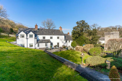
- Price
- £850,000
- Size
- 1 acres
Llancarfan, Vale of Glamorgan, Llancarfan, Vale of Glamorgan CF62 Wales
Added on 16/04/2026House with Land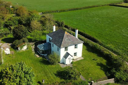
- Price
- £800,000
- Size
- 1.1 acres
Broad Close Farm, Moulton, Vale of Glamorgan, Llancarfan, Vale of Glamorgan CF62 Wales
Added on 29/01/2026Farmhouse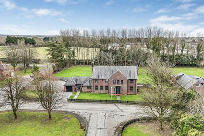
- Price
- £825,000
- Size
- 1.1 acres
Ringwood Crescent, St Athan, St. Athan, Vale of Glamorgan CF62 Wales
Added on 09/09/2026House with Land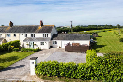
- Price
- Offers in Region of£650,000
- Size
- 1.2 acres
Newbarn Holdings, Flemingston, St. Athan, Vale of Glamorgan CF62 Wales
Added on 08/09/2026House with Land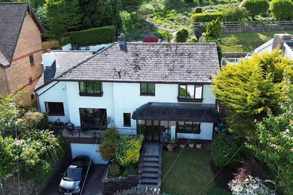
- Price
- £725,000
- Size
- 1 acres
Pinetrees, Walston Road, Wenvoe, Vale of Glamorgan CF5, Wenvoe, Vale of Glamorgan CF5 Wales
Added on 03/06/2026House with Land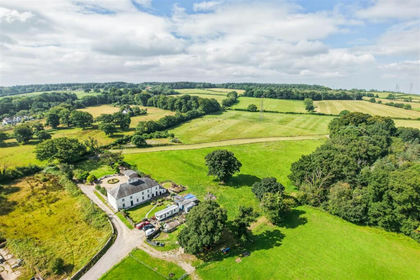
- Price
- £695,000
- Size
- 3.33 acres
Llwynrhyddid Farmhouse, Hensol, Pontyclun, CF72, Pendoylan, Vale of Glamorgan CF72 Wales
Added on 29/01/2026Farmhouse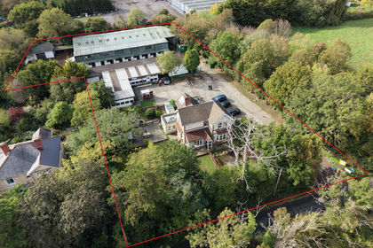
- Price
- Guide Price£650,000
- Size
- 1.06 acres
Added on 14/10/2026Equestrian property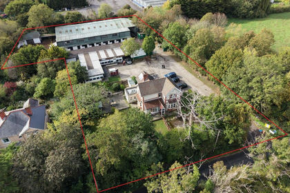
- Price
- Guide Price£650,000
- Size
- 1.07 acres
Downside, Sully Road, Penarth, Dinas Powys, Vale of Glamorgan CF64 Wales
Added on 14/10/2026Equestrian property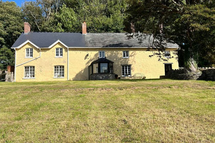
- Price
- Guide Price£865,000
- Size
- 11.47 acres
Added on 09/10/2026Smallholding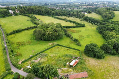
- Price
- Offers in Excess of£675,000
- Size
- 1.17 acres
Barns with Planning Permission, Heol Y Parc, Nr. Cardiff CF15, Pentyrch, Cardiff CF15 Wales
Added on 18/03/2026Barn Conversion