Canters Green, West Bradley, Glastonbury
- Land size
- 1.34 acres
- Bedrooms
- 5
- Bathrooms
- 4
Key Features
- Private & peaceful setting with countryside views & tree lined drive
- Spacious house with potential for multi-gen living - 3792 sqft (incl outbuildings)
- Kitchen/dining room & spacious sitting room with French doors out to garden
- Further reception room, boot room & laundry room
- 4 first floor bedrooms (1 with en-suite), family bathroom & shower room
- Attached 1 bed annex with holiday let potential
- Workshop/double garage with potential (STPP). 2 Stables plus wood store. Fully insulated garden building with electricity supply
- Gardens & grounds of c. 1.3 acres (including 1 acre paddock)
- Unspoilt hamlet location. Well placed for Millfield. In West Pennard School catchment
- 9 miles to Castle Cary station to London plus excellent road links via the A303
Description
Property Description: Guide Price - £1,000,000 - £1,250,000. Canters Green is a rare opportunity to acquire a country home set in a wonderfully private and peaceful location, with paddock, gardens, and versatile outbuildings extending to around 1.34 acres. Approached by a long driveway, tree lined down one side, the property combines seclusion with accessibility, being just over a mile from the A371, making commuting and school runs convenient while still enjoying glorious countryside surroundings.
Originally two cottages dating back to the late 19th century, the house was sympathetically converted into one and has been further extended to create a spacious family home. With four first floor bedrooms, three bathrooms, and an attached one bed annexe, the property offers a wealth of flexible accommodation suitable for multi-generational living, a holiday let, or home office.
Accommodation: The heart of the home is the spacious, south facing kitchen/dining room, which has a central island and plenty of space for a dining table. The inglenook fireplace is a fabulous feature, which currently houses a redundant solid fuel Rayburn and alongside there is a range cooker. The kitchen cabinets are painted wood and there is plenty of storage and work space. The kitchen opens out into the sitting room which features a wood-burner and double doors leading out to the garden. To the front of the property, off the entrance hall, is a second sitting room/snug which again has a wood burner set within an attractive fireplace – a perfect retreat in the winter months. To the rear of the property is a utility room, downstairs WC and practical boot room with a door that leads out to the back garden
Upstairs, the first floor is well arranged with four generous double bedrooms and three bathrooms. The principal bedroom has an en-suite shower room and fitted wardrobes, whilst the other bedrooms are served by two recently fitted family bathrooms – one featuring a roll-top bath and separate shower.
The Annexe: Accessed via the main house or with its own independent entrance, the self-contained annexe has a spacious sitting room, double bedroom, shower room and utility area. This space has excellent potential as a holiday let, long-term rental, or accommodation for extended family.
Outside: The property is approached via a sweeping, tree-lined driveway, with the paddock to one side and farmland to the other. There is extensive parking and turning space alongside a double garage/workshop with mezzanine storage. This building has recently been re-clad and has higher-than-average access height, ideal for larger vehicles. There is also a fully insulated garden building with electricity supply with potential for a garden office plus there is also an area of hard standing and the remains of a double stable, offering potential for further development (subject to consents).
The gardens are largely laid to lawn with established hedges and trees. The paddock, measuring approximately one acre, is currently stock-proof and provides a wonderful opportunity for equestrian use, hobby farming, or simply to enjoy the space.
Location: Set within the hamlet of West Bradley, Canters Green is surrounded by open countryside and orchards. The location is ideal for those seeking a rural lifestyle with accessibility, being within easy reach of Wells, Glastonbury, Shepton Mallet, and Castle Cary. The latter offering a mainline station with fast services to London Paddington. There are excellent schooling options nearby, including both state and independent, with Millfield Prep and Senior Schools particularly accessible.
Directions: SatNav = BA6 8LR / What3Words = ///gilding.fracture.position
Council Tax: Band G (correct at time of marketing). To check council tax for this property, please refer to the local authority website.
Local Authority: Somerset County Council -
Services: Oil fired central heating, mains water, mains electrics, private sewerage treatment plant.
Tenure: This property is freehold and is sold with vacant possession upon completion.
Additional Property Notes: This property is of traditional construction. There is a small amount of cladding on the single storey roof. Current owners use Starlink internet with a speed of 150 to 300MB.
Identity verification: Please note, Sandersons UK are obligated by law to undertake Anti Money Laundering (AML) Regulation checks on any purchaser who has an offer accepted on a property. We are required to use a specialist third party service to verify your identity. The cost of these checks is £60 inc. VAT per property and accepted offer. This is payable at the point an offer is accepted and our purchaser information form is completed, prior to issuing Memorandum of Sales to both parties respective conveyancing solicitors. This is a legal requirement and the charge is non-refundable.
Disclaimer: Sandersons and their clients state that these details are for general guidance only and accuracy cannot be guaranteed. They do not form any part of any contract. All measurements are approximate, and floor plans are for general indication only and are not measured accurate drawings. No guarantees are given with any mentioned planning permission or fitness for purpose. No appliances, equipment, fixture or fitting has been tested by us and items shown in photographs are not necessarily included. Buyers must satisfy themselves on all matters by inspection or through the conveyancing process.
Register for new listings before the portal launch: sandersonsuk.com/register
Map Location
Property details
- Tenure
- Freehold
- Council Tax Band
- G
- Date Posted
- 2026-01-29
Market Value Analysis
Compared with 1,587 Homes with Land listings in South West England (1+ acres).
Energy Performance Certificate
Energy Efficiency Rating
Based on UK Energy Performance Certificate standards (EU Directive 2002/91/EC)
Utilities & Restrictions
Utilities
- Electricity
- Mains
- Water
- Mains
- Heating
- Oil Heating
- Broadband
- Ask Agent
- Sewerage
- Septic Tank / Private
Rights & Restrictions
- Public Rights of Way
- Ask Agent
- Private Rights of Way
- Ask Agent
- Listed Property
- Ask Agent
- Restrictions
- Ask Agent
Property Features
- Accessibility
- Ask Agent
- Parking
- Garage
- Garden
- Private Garden
Important notice: Information, maps and tags on this page are supplied by the advertising agent or generated automatically. LandSale has not verified them. Relying on these details is at your own risk, always carry out independent checks before committing to a purchase.
LandSale full disclaimer
Marketing information only - not formal particulars. The details on this website are provided for general guidance and do not constitute an offer or contract. Neither LandSale nor the advertising estate/land agent accepts responsibility for any inaccuracy.
1. Source of information
- Agent-supplied content: Core description, asking price, tenure, measurements, photographs and planning history are uploaded by the appointed agent, who remains solely responsible for their accuracy.
- Automated tags & categorisation: Property type, land-use class, acreage bands and similar labels may be applied by machine-learning models. They are intended as a helpful guide only and may not reflect the property's legal status or permitted use.
- Third-party & enriched data layers: Maps, boundary outlines, planning designations, soil reports, broadband coverage and other environmental or location-based insights are licensed from external suppliers. Such data are supplied “as is", may be incomplete or out of date and are subject to change without notice.
2. Verification required
Prospective purchasers must verify critical matters, including but not limited to planning permission, title boundaries, public rights of way, environmental constraints, acreage, services, access and VAT status, through their own inspections, specialist surveys, legal advisers and the selling agent before relying on the information or entering into any contract.
3. No warranty or liability
LandSale gives no warranty, express or implied, as to the accuracy, completeness or fitness for any particular purpose of the information displayed. LandSale shall not be liable for any loss, damage, cost or expense arising directly or indirectly from any use of or reliance on such information, save where liability may not be excluded by law.
4. Updates & feedback
If you believe any detail on this listing is inaccurate, please let us know. We will investigate and, where appropriate, update the listing or notify the agent.
© LandSale | Version 1.2 - January 2026
Listing agent
Sandersons, Wells
1 The Guard House, Guard House Lane, Wells, BA5 1GD
Similar properties for sale
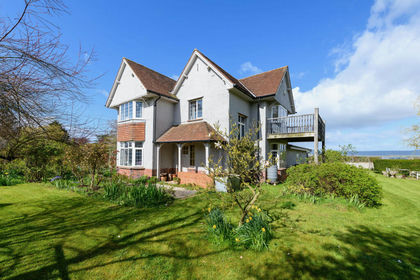
- Price
- £825,000
- Size
- 1.3 acres
Boundary Farm, Havyatt, Glastonbury, Somerset, Glastonbury, Somerset BA6 8LF England
Added on 12/04/2026House with Land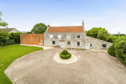
- Price
- Guide Price£1,175,000
- Size
- 2 acres
Newtown, West Pennard, West Pennard, BA6, West Pennard, Somerset BA6 8NN England
Added on 09/07/2026House with Land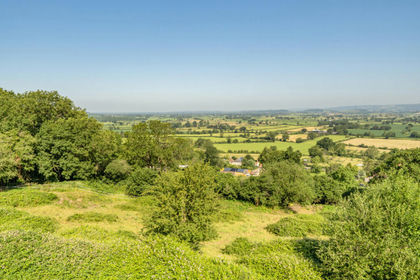
- Price
- £775,000
- Size
- 5.5 acres
Piltown, West Pennard, Glastonbury, BA6, West Pennard, Somerset BA6 8NQ England
Added on 04/07/2026Barn Conversion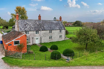
- Price
- Guide Price£1,250,000
- Size
- 5 acres
Hornblotton, Glastonbury, West Bradley, Somerset BA4 6SF England
Added on 29/04/2026Farmhouse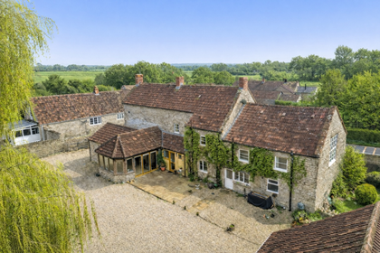
- Price
- Guide Price£750,000
- Size
- 6.5 acres
West Lydford, Somerton, Lydford-on-Fosse, Somerset TA11 7DP England
Added on 31/03/2026House with Land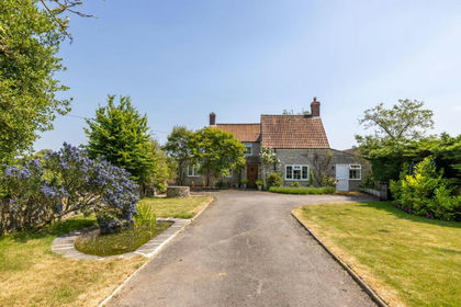
- Price
- Guide Price£800,000
- Size
- 5 acres
Church Lane, East Lydford, Lydford-on-Fosse, Somerset TA11 7DR England
Added on 27/03/2026Cottage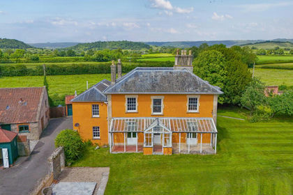
- Price
- Guide Price£1,250,000
- Size
- 2.15 acres
Polsham, Wells, BA5, St Cuthbert Out, Somerset BA5 1RP England
Added on 23/05/2026Country Home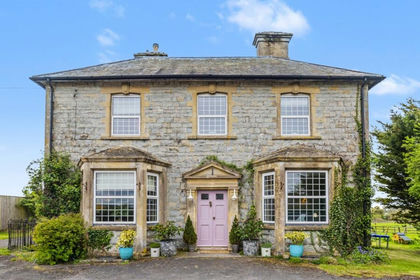
- Price
- Guide Price£900,000
- Size
- 1 acres
Added on 15/05/2026House with Land
- Price
- Guide Price£875,000
- Size
- 7 acres
Equestrian, 7 acres, Ditcheat, Shepton Mallet, BA4, Ditcheat, Somerset BA4 6TL England
Added on 13/02/2026Barn Conversion
- Price
- Guide Price£875,000
- Size
- 0.5 acres
Added on 02/04/2026Barn Conversion