
Aigas Golf Course, Mains Of Aigas, Beauly, IV4
- Land size
- 30 acres
Key Features
- Superb opportunity to acquire an established 9-hole parkland golf course, popular with locals and tourists alike.
- Described by bunkered.co.uk as one of the very best 9-hole golf courses in Scotland.
- Fully equipped, recently modified clubhouse plus extensive parking area.
- Practice area with parcel of land (0.84 acres) attached.
Description
This unique lifestyle opportunity offers an established 9-hole parkland golf course with clubhouse, in a splendid and tranquil location close to the village of Beauly
Aigas Golf course, established in 1993, is a beautifully landscaped, well-maintained facility featuring a clubhouse, car park, nine -hole golf course and practice area with a small parcel of land (0.84 acres) attached. The course spans approximately 30 acres and is bounded by hedges and post and wire fences.
The clubhouse is constructed with a timber frame and has a kitchen, office, rear lobby and WC along with a disabled WC. It is well-equipped to cater for members and visitors offering teas coffees and light snacks. There is a small independently run club (Aigas Golf Club) which uses the course as its base throughout the golfing season. Currently the golf course operates throughout the year and the clubhouse is staffed from April till the end of October.
The current operators have one full-time green keeper plus another seasonal assistant who works part time from April to the end of October. The clubhouse is staffed by one person from the beginning of April to the end of October, usually working from the hours of 10:00 to 16:00.
The current season has seen the introduction of robotic mowing (Husqvarna Ceora) for most fairways and some rough areas.
The current owner can provide training and information to support a new proprietor.
There is a variety of well-maintained golf course machinery and equipment which can be made available by separate negotiation.
There is also the opportunity to purchase a (10 acre) field with river access adjacent to the golf course by separate negotiation.
Additional land and buildings adjacent to the course available for lease, by separate negotiation.
Set in an area of outstanding natural beauty, close to the river Beauly, the golf course is located near the charming village of Beauly, just 25 mins drive from Inverness. It’s the perfect place to golf or explore trails at Aigas Community Forest. If you’re lucky you might see buzzards, ospreys, red deer, pine martins red squirrels and otters! The facilities are only 5 miles from the beautiful Glen Strathfarrar and less than half an hour from Glen Cannich and Affric.
Aigas Golf Course is within an excellent location, 5 miles from the popular market town of Beauly. Beauly has a wide range of amenities including two supermarkets, a number stylish shops, two doctors’ surgeries, a garage with post office and Primary school. Inverness is approximately 17 miles where there are a wide variety of shopping and recreational facilities. A regular train service runs to Inverness. Inverness Airport offers daily, national and international flights.
Directions
What3Words ///horizons.clocking.debating
Mains water and electricity
Clubhouse drainage to septic tank
Map Location
Property details
- Tenure
- Freehold
- Council Tax Band
- Ask Agent
- Date Posted
- 2026-11-09
Property Brochure
Seen the details? The full report adds the independent checks: planning activity, flood history, heritage and ground.
Utilities & Restrictions
Utilities
- Electricity
- Ask Agent
- Water
- Ask Agent
- Heating
- Ask Agent
- Broadband
- Ask Agent
- Sewerage
- Ask Agent
Rights & Restrictions
- Public Rights of Way
- Ask Agent
- Private Rights of Way
- Ask Agent
- Listed Property
- Ask Agent
- Restrictions
- Ask Agent
Listed status, conservation areas and planning constraints for this location are in the full report.
Property Features
- Accessibility
- Ask Agent
- Parking
- Ask Agent
- Garden
- Ask Agent
Beyond the particulars: planning activity, flood history, heritage and ground risks, checked for this exact spot.
Connectivity
Broadband
Fastest speed available at this postcode
1 Mbps
Under 10 Mbps here
Suitable for
- Basic browsing & email
Fixed wireless access may also be an option here.
Mobile signal
Predicted 4G and 5G signal; indoor signal depends on building materials.
Ofcom Connected Nations postcode-level predictions. Speeds and signal are modelled, not measured, and vary between addresses and providers.
Signal is the easy part. Planning activity, flood history and protected designations here are in the full report.
Nearest Schools
Primary
- Teanassie Primary School1.8 miles
- Pupils
- 43
- Type
- Non-denominational
- Tomnacross Primary School3.2 miles
- Pupils
- 111
- Type
- Non-denominational
- Beauly Primary School5 miles
- Pupils
- 127
- Type
- Non-denominational
- Kirkhill Primary School6.4 miles
- Pupils
- 144
- Type
- Non-denominational
- Tarradale Primary School6.7 miles
- Pupils
- 261
- Type
- Non-denominational
Secondary
- Glen Urquhart High School8.3 miles
- Pupils
- 209
- Type
- Non-denominational
- Charleston Academy12 miles
- Pupils
- 746
- Type
- Non-denominational
- Dingwall Academy12 miles
- Pupils
- 1,062
- Type
- Non-denominational
- Inverness High School13 miles
- Pupils
- 491
- Type
- Non-denominational
- Inverness Royal Academy13 miles
- Pupils
- 1,351
- Type
- Non-denominational
Distances are straight-line from the advertised location. Source: the national school registers (DfE, Welsh Government, Scottish Government) and Ofsted.
Schools are just the start: planning activity, heritage and any flood history here are in the full report.
Amenities
Supermarket
GP surgery
Pharmacy
Walking trail
Straight-line distances from the advertised location. Sources: NHS records, Geolytix supermarket locations, OS Open Greenspace and the national trails registers.
The area stacks up? Now check the location itself: planning nearby, protected designations and past flooding.
Getting Around
Nearest station
Nearest bus stop
Typical drive times
Straight-line distances from the advertised location; drive times are typical free-flow times over OpenStreetMap road data, so allow more at peak. Public transport locations from DfT NaPTAN.
Easy to reach matters. So do planning activity, flood history and ground risks: all in the full report.
Flood Risk
SEPA open data, checked around the advertised map pin for the listed acreage. Provided by LandSale, not the listing agent, and not part of the agent's particulars. Risk varies across a holding, so verify before committing.
Rivers and the sea
Not at the pin: mapped about 140 metres away.
Surface water
These bandings are the summary. Where this location sits on the flood maps, plus planning activity, heritage and ground risks, is in the full report.
Important notice: Information, maps and tags on this page are drawn from the advertising agent's marketing materials or generated automatically. LandSale has not verified them. Relying on these details is at your own risk, always carry out independent checks before committing to a purchase.
LandSale full disclaimer
Marketing information only - not formal particulars. The details on this website are provided for general guidance and do not constitute an offer or contract. Neither LandSale nor the advertising estate/land agent accepts responsibility for any inaccuracy.
1. Source of information
- Listing content: Core description, asking price, tenure, measurements, photographs and planning history originate from the marketing materials of the advertising estate or land agent. LandSale does not author this content and cannot guarantee its accuracy.
- Automated tags & categorisation: Property type, land-use class, acreage bands and similar labels may be applied by machine-learning models. They are intended as a helpful guide only and may not reflect the property's legal status or permitted use.
- Third-party & enriched data layers: Maps, boundary outlines, planning designations, soil reports, broadband coverage and other environmental or location-based insights are licensed from external suppliers. Such data are supplied “as is", may be incomplete or out of date and are subject to change without notice.
2. Verification required
Prospective purchasers must verify critical matters, including but not limited to planning permission, title boundaries, public rights of way, environmental constraints, acreage, services, access and VAT status, through their own inspections, specialist surveys, legal advisers and the selling agent before relying on the information or entering into any contract.
3. No warranty or liability
LandSale gives no warranty, express or implied, as to the accuracy, completeness or fitness for any particular purpose of the information displayed. LandSale shall not be liable for any loss, damage, cost or expense arising directly or indirectly from any use of or reliance on such information, save where liability may not be excluded by law.
4. Updates & feedback
If you believe any detail on this listing is inaccurate, please let us know. We will investigate and, where appropriate, update the listing or notify the agent.
© LandSale | Version 1.3 - August 2026
Similar properties for sale
- Price
- Guide Price£525,000
- Size
- 1.89 acres
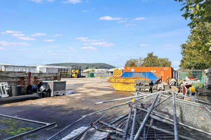
Site at Harbour Road, Scotland, IV1, Inverness, Skye and West Ross-shire, Highland IV1 Scotland
Added on 22/10/2026Industrial Land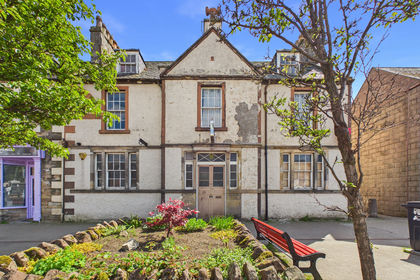
- Price
- Offers in Excess of£275,000
High Street, Invergordon, Highland, Invergordon, Highland IV18 Scotland
Added on 06/11/2026Development Land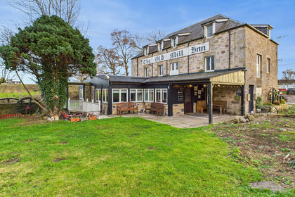
- Price
- Offers in Excess of£395,000
- Floor area
- 4,962 sq ft
Old Mill Inn, 7 Brodie, Forres, Morayshire, Forres, Moray IV36 Scotland
Added on 06/11/2026PubLeasehold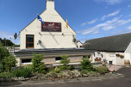
- Price
- Offers in Region of£325,000
- Floor area
- 2,764 sq ft
Added on 29/01/2026Pub
- Price
- Guide Price£350,000
- Size
- 0.35 acres
Added on 22/09/2026Industrial LandLeasehold
- Price
- £299,000
Added on 29/01/2026Commercial Land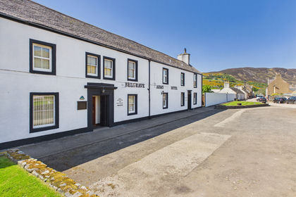
- Price
- Offers in Region of£375,000
- Floor area
- 6,458 sq ft
Belgrave Arms Hotel, Dunrobin Street, Helmsdale, Highlands, Helmsdale, Highland KW8 Scotland
Added on 06/11/2026Pub
- Price
- Offers in Excess of£570,000
- Size
- 1.25 acres
Added on 18/06/2026Commercial Land
- Price
- Offers in Excess of£349,000
Added on 28/01/2026WarehouseLeasehold
- Price
- £465,000
Jubilee Terrace, Findochty, Moray, Aberdeenshire North and Moray East, Moray AB56 Scotland
Added on 10/09/2026Pub