
High Street, Invergordon, Highland
Key Features
- Prominent High Street mixed-use property
- Architect concept for 15 bedrooms
- Ground floor café-bar potential
- Strong local and cruise footfall
- Significant value-add development opportunity
- Ideal for investors and operators
Description
Situated on Invergordon’s High Street, this substantial property enjoys a central position close to local shops, services and amenities, just a short walk from the main pedestrian route linking the town centre with the busy cruise port. Its prominent frontage ensures excellent exposure to tourist, local and passing trade, with strong seasonal footfall generated by visiting cruise liners and steady year-round demand from residents and workers across the wider Easter Ross area. This established commercial setting makes the building ideally placed for a café-bar and serviced accommodation offering, capturing both daytime and evening custom.
We are delighted to bring to market this prominent High Street asset, offering an exciting mixed-use development opportunity in the heart of Invergordon. The existing three-storey plus basement property currently comprises a public bar, former lounge bar and upper floor accommodation, all benefitting from strong visibility to both pedestrian and vehicular traffic.
In addition to the current configuration, architects have prepared concept proposals to remodel the upper floors to create 15 ensuite letting bedrooms over the first and second floors, specifically tailored for serviced accommodation or short-stay use. The plans also incorporate a flexible commercial unit at ground floor level, ideally suited to a café-bar operation that makes full use of the High Street location and growing cruise and tourism trade. The drawings demonstrate how the generous floorplate and existing circulation can be efficiently adapted to meet modern hospitality standards, including accessible bedrooms and enhanced fire escape provision.
No planning or building warrant applications have yet been submitted, giving an incoming purchaser the opportunity to refine the design and secure consents aligned to their preferred operating model – whether an operator-led serviced apartments concept, a boutique guesthouse, or a blend of bar, café and tourist accommodation. With Invergordon continuing to benefit from cruise traffic and wider local investment, the property offers significant potential to deliver a high-yield income stream in a proven location.
This is a rare opportunity to acquire a substantial High Street property with clear scope for value-add through redevelopment, subject to the necessary statutory consents. Early enquiry is strongly recommended.
Map Location
Property details
- Tenure
- Ask Agent
- Council Tax Band
- Ask Agent
- Date Posted
- 2026-11-06
Utilities & Restrictions
Utilities
- Electricity
- Ask Agent
- Water
- Ask Agent
- Heating
- Ask Agent
- Broadband
- Ask Agent
- Sewerage
- Ask Agent
Rights & Restrictions
- Public Rights of Way
- Ask Agent
- Private Rights of Way
- Ask Agent
- Listed Property
- Ask Agent
- Restrictions
- Ask Agent
Listed status, conservation areas and planning constraints for this location are in the full report.
Property Features
- Accessibility
- Not Suitable for Wheelchair Users
- Parking
- Ask Agent
- Garden
- Ask Agent
Beyond the particulars: planning activity, flood history, heritage and ground risks, checked for this exact spot.
Connectivity
Broadband
Fastest speed available at this postcode
10 Gbps
Gigabit full fibre
Suitable for
- 4K streaming on every screen
- Full-time home working
- Online gaming & big downloads
Mobile signal
Predicted 4G and 5G signal; indoor signal depends on building materials.
Ofcom Connected Nations postcode-level predictions. Speeds and signal are modelled, not measured, and vary between addresses and providers.
Signal is the easy part. Planning activity, flood history and protected designations here are in the full report.
Nearest Schools
Primary
- Park Primary School241 metres
- Pupils
- 117
- Type
- Non-denominational
- South Lodge Primary School661 metres
- Pupils
- 149
- Type
- Non-denominational
- Newmore Primary School2.1 miles
- Pupils
- 36
- Type
- Non-denominational
- Obsdale Primary School2.6 miles
- Pupils
- 115
- Type
- Non-denominational
- Resolis Primary School3.3 miles
- Pupils
- 59
- Type
- Non-denominational
Secondary
- Invergordon Academy497 metres
- Pupils
- 343
- Type
- Non-denominational
- Alness Academy3 miles
- Pupils
- 505
- Type
- Non-denominational
- Fortrose Academy7.7 miles
- Pupils
- 646
- Type
- Non-denominational
- Tain Royal Academy9.2 miles
- Pupils
- 516
- Type
- Non-denominational
- Dingwall Academy12 miles
- Pupils
- 1,062
- Type
- Non-denominational
Distances are straight-line from the advertised location. Source: the national school registers (DfE, Welsh Government, Scottish Government) and Ofsted.
Schools are just the start: planning activity, heritage and any flood history here are in the full report.
Amenities
Supermarket
GP surgery
Pharmacy
Green space
Walking trail
Straight-line distances from the advertised location. Sources: NHS records, Geolytix supermarket locations, OS Open Greenspace and the national trails registers.
The area stacks up? Now check the location itself: planning nearby, protected designations and past flooding.
Getting Around
Nearest station
Nearest bus stop
Typical drive times
Straight-line distances from the advertised location; drive times are typical free-flow times over OpenStreetMap road data, so allow more at peak. Public transport locations from DfT NaPTAN.
Easy to reach matters. So do planning activity, flood history and ground risks: all in the full report.
Flood Risk
SEPA open data, checked around the advertised map pin for the listed acreage. The map pin for this listing marks the postcode area rather than the exact location, so these readings describe the surrounding area. Provided by LandSale, not the listing agent, and not part of the agent's particulars. Risk varies across a holding, so verify before committing.
Rivers and the sea
Surface water
Not at the pin: mapped about 10 metres away.
These bandings are the summary. Where this location sits on the flood maps, plus planning activity, heritage and ground risks, is in the full report.
Important notice: Information, maps and tags on this page are drawn from the advertising agent's marketing materials or generated automatically. LandSale has not verified them. Relying on these details is at your own risk, always carry out independent checks before committing to a purchase.
LandSale full disclaimer
Marketing information only - not formal particulars. The details on this website are provided for general guidance and do not constitute an offer or contract. Neither LandSale nor the advertising estate/land agent accepts responsibility for any inaccuracy.
1. Source of information
- Listing content: Core description, asking price, tenure, measurements, photographs and planning history originate from the marketing materials of the advertising estate or land agent. LandSale does not author this content and cannot guarantee its accuracy.
- Automated tags & categorisation: Property type, land-use class, acreage bands and similar labels may be applied by machine-learning models. They are intended as a helpful guide only and may not reflect the property's legal status or permitted use.
- Third-party & enriched data layers: Maps, boundary outlines, planning designations, soil reports, broadband coverage and other environmental or location-based insights are licensed from external suppliers. Such data are supplied “as is", may be incomplete or out of date and are subject to change without notice.
2. Verification required
Prospective purchasers must verify critical matters, including but not limited to planning permission, title boundaries, public rights of way, environmental constraints, acreage, services, access and VAT status, through their own inspections, specialist surveys, legal advisers and the selling agent before relying on the information or entering into any contract.
3. No warranty or liability
LandSale gives no warranty, express or implied, as to the accuracy, completeness or fitness for any particular purpose of the information displayed. LandSale shall not be liable for any loss, damage, cost or expense arising directly or indirectly from any use of or reliance on such information, save where liability may not be excluded by law.
4. Updates & feedback
If you believe any detail on this listing is inaccurate, please let us know. We will investigate and, where appropriate, update the listing or notify the agent.
© LandSale | Version 1.3 - August 2026
Similar properties for sale
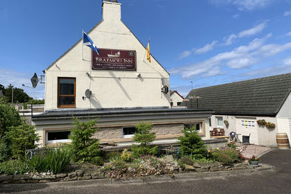
- Price
- Offers in Region of£325,000
- Floor area
- 2,764 sq ft
Added on 29/01/2026Pub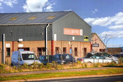
- Price
- Guide Price£350,000
- Size
- 0.35 acres
Added on 22/09/2026Industrial LandLeasehold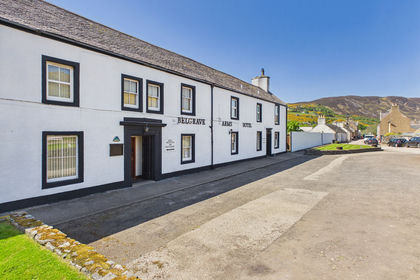
- Price
- Offers in Region of£375,000
- Floor area
- 6,458 sq ft
Belgrave Arms Hotel, Dunrobin Street, Helmsdale, Highlands, Helmsdale, Highland KW8 Scotland
Added on 06/11/2026Pub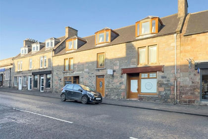
- Price
- £299,000
Added on 29/01/2026Commercial Land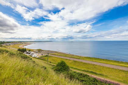
- Price
- Offers in Region of£175,000
- Size
- 0.79 acres
Added on 29/01/2026Development Land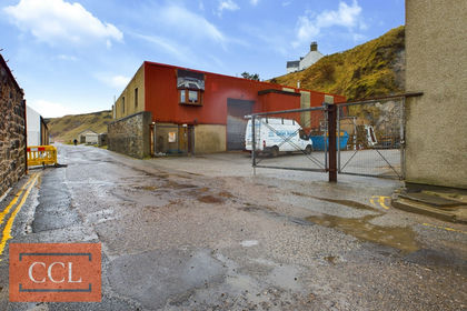
- Price
- Offers in Region of£165,000
- Floor area
- 3,389 sq ft
Port Long Road, Cullen, Buckie, Moray, Buckie, Moray AB56 Scotland
Added on 02/04/2026Warehouse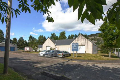
- Price
- Offers in Excess of£349,000
Added on 28/01/2026WarehouseLeasehold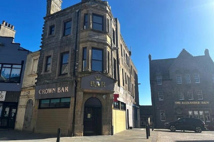
- Price
- Fixed Price£205,000
Added on 18/06/2026Pub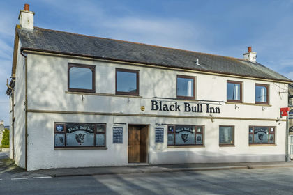
- Price
- Offers in Region of£350,000
- Floor area
- 3,915 sq ft
North Street, Inverurie, Aberdeenshire, Inverurie, Aberdeenshire AB51 Scotland
Added on 29/01/2026Pub
- Price
- £170,000
- Size
- 0.05 acres
Added on 19/08/2026Warehouse