Nibley Lane, Iron Acton, Bristol
- Land size
- 0.43 acres
- Bedrooms
- 4
- Bathrooms
- 2
Key Features
- Individual converted barn in a fabulous location
- Extended and improved by its current vendors
- Finished to a high specification throughout with character features
- Set in just under half and acre surrounded by fields
- Gardens include natural swimming pool, Entertainment area, Animal enclosures
- Stunning kitchen dining room with full glazed apex end
- 4 / 5 Bedrooms
- Three reception rooms
- Ensuite shower/WC to master
- Sought after village of Iron Acton
Description
Heartwood is a fabulous converted barn, situated in about 0.43 acres of level gardens, including animal enclosures and vegetable garden. Located in a quiet position with fields surrounding ,yet within close proximity of Iron Action village
Part of what was formerly Lavenham Farm, this is the Pheasant Pluckers barn that has been rebuilt using many of the original materials, and was then extended c.2019. The current owners have also introduced an outdoor kitchen / entertaining area , and a natural swimming pool in addition to providing accommodation for their chickens and pigs at the far end of the plot.
Internally, the property has a high specification and quality fittings throughout, including a 'deVOL' kitchen that sits within an extended part of the building with floor-to-ceiling glass windows and doors overlooking the outdoor pool and lawned grounds beyond.
There are also parking spaces for 3 cars, woodstores and outbuildings.
APPROACH TO THE PROPERTY The property is accessed via private gravelled driveway which leads to a central courtyard with allocated parking for several vehicles. Gated access leads to Heartwood and gardens.
Oak door leading to entrance hallway
ENTRANCE HALL Downlighters, wooden seating bench with wood store below, oak doors leading to storage providing hanging and drawers, engineered wood flooring, oak latched door leading to snug
SNUG / RECEPTION 2 15' 0" x 12' 11" (4.57m x 3.94m) Double glazed window overlooking side, exposed stone walling, wood burning stove with stone back and flagstone hearth, TV connection point, cast iron radiator, wall lights, engineered wood flooring
HALLWAY Downlighters, cast iron radiator, flagstone floor, stairs to first floor
CLOAKROOM Wall mounted concrete wash hand basin with mixer tap, close coupled WC, wall mounted extractor, tiled flooring
LOUNGE 20' 6" x 15' 5" (6.25m x 4.7m) Full width bi-folding doors leading to the walled garden, wall mounted TV point, wood burning stove with tiled back and flagstone hearth, cast iron radiator, wall lights, two storage cupboards with shelving, engineered wood flooring
OFFICE / RECEPTION THREE 13' 3" x 7' 7" (4.04m x 2.31m) Double glazed window overlooking the garden, fitted wall to wall desk, shelving, cast iron radiator, wall lights, flagstone flooring
KITCHEN / DINING / FAMILY ROOM 24' 6" x 13' 2" reducing to 12' 10" (7.47m x 4.01m) Fully glazed apex end with sliding doors with views across the gardens, vaulted ceilings, full length windows to sides, range of 'deVOL' Pantry Blue kitchen cabinets and central island with brass handles and concrete worksurfaces, double Belfast sink with Victorian style mixer tap and separate boilng water tap, tiled surrounds, space for Aga with light and extractor above, space and plumbing for American style fridge freezer, fitted shelving, TV aerial connection point, cast iron radiator, parquet style wood flooring
UTILITY ROOM 8' 7" x 6' 3" (2.62m x 1.91m) Double glazed stable door leading to side of property, wooden units with butcher block worktops, inset Belfast sink with mixer tap, hanging facilities, cast iron radiator, motion sensor downlighting, flagstone floors, wooden latched door leading to laundry room
LAUNDRY ROOM / BOOT ROOM Double glazed window overlooking side of property, space and plumbing for washing machine, space for further white good, butchers block worksurface over, wall units and tiles surrounds, hanging and drying facilities, cupboard housing Worcester boiler, cast iron radiator, motion sensor downlighting, flagstone floors
1ST FLOOR
LANDING Velux style window, cupboard with hanging and shelving, down lighters, wall lights, cast iron radiator
MASTER BEDROOM 13' 11" (to ensuite area) x 13' 3" (4.24m x 4.04m) Two double glazed windows overlooking the rear of the property with far reaching views, cast iron radiator, exposed wooden floorboards, door leading to dressing room
DRESSING ROOM / POTENTIAL BEDROOM 5 15' 4" x 6' MAX 9" (4.67m x 2.06m) Double glazed window overlooking garden, downlighters, exposed floor boards.
Potential to change to a 5th Bedroom.
ENSUITE AREAS Openings into ensuite areas with close coupled WC, wash hand basin inset wooden shelving with wall mounted taps, tiled surrounds, further separate walk-in shower room, wet room style with fully tiled walls, inset shelving, shower with separate attachments, towel radiator, downlighters, tiled flooring
BEDROOM TWO 13' 3" MAX x 11' 5" (4.04m x 3.48m) Double glazed window overlooking the side of the property, Velux style window, radiator, (some restricted head height)
BEDROOM THREE 13' 0" x 9' 10" (3.96m x 3m) Velux style window, cast iron radiator, (some restricted head height)
BEDROOM FOUR 13' 0" x 8' 2" (3.96m x 2.49m) Velux style window, radiator, storage cupboards into eaves, (some restricted head height)
BATHROOM Velux style window, partially tiled walls, white suite comprising freestanding bath, wet room style shower, close coupled WC, brass circular wash hand basin inset wooden shelving with mixer tap, cast iron towel radiator, downlighters, wall mounted extractor fan, tiled flooring, restricted head height
GARDEN Gardens are just under 1/2 acre and are fully enclosed via fencing and hedging. Mainly laid to lawn with fruit trees and well stocked borders, full width Indian Sandstone wrap-around patios. Entertaining area which has outside lighting, outdoor kitchen with Belfast sink, BBQ, pizza oven and covered worksurfaces. Natural swimming pool surrounded by bullrushes and plants. Hen enclosure with power and water. Further animal pen. Separate walled garden with log store, patio, green house, vegetable garden and storage shed.
Map Location
Property details
- Tenure
- Freehold
- Council Tax Band
- B
- Date Posted
- 2026-10-02
Utilities & Restrictions
Utilities
- Electricity
- Mains
- Water
- Mains
- Heating
- Central Heating, Gas Central Heating
- Broadband
- Cable Internet
- Sewerage
- Mains
Rights & Restrictions
- Public Rights of Way
- Ask Agent
- Private Rights of Way
- Ask Agent
- Listed Property
- Ask Agent
- Restrictions
- Ask Agent
Listed status, conservation areas and planning constraints for this location are in the full report.
Property Features
- Accessibility
- Ask Agent
- Parking
- Off-Street Parking
- Garden
- Garden
Beyond the particulars: planning activity, flood history, heritage and ground risks, checked for this exact spot.
Connectivity
Broadband
Fastest speed available at this postcode
52 Mbps
Superfast
Suitable for
- HD streaming
- Video calls
- Web & social
Mobile signal
Predicted 4G and 5G signal; indoor signal depends on building materials.
Ofcom Connected Nations postcode-level predictions. Speeds and signal are modelled, not measured, and vary between addresses and providers.
Signal is the easy part. Planning activity, flood history and protected designations here are in the full report.
Nearest Schools
Primary
- Iron Acton Church of England Primary School591 metresNo Ofsted rating
- Ages
- 4 to 11
- Pupils
- 98
- Type
- Academy converter
- Faith
- Church of England
- North Road Community Primary School0.9 milesOfsted: Good
- Ages
- 4 to 11
- Pupils
- 104
- Type
- Community school
- Watermore Primary School1.3 milesOfsted: Good
- Ages
- 4 to 11
- Pupils
- 399
- Type
- Community school
- Tyndale Primary School1.3 milesOfsted: Good
- Ages
- 4 to 11
- Pupils
- 200
- Type
- Academy sponsor led
- Frampton Cotterell Church of England Primary School1.6 milesOfsted report card · Jun 2026
- Ages
- 4 to 11
- Pupils
- 295
- Type
- Voluntary controlled school
- Faith
- Church of England
Secondary
- Brimsham Green School1.3 milesNo Ofsted rating
- Ages
- 11 to 19
- Pupils
- 1,095
- Type
- Community school
- Yate Academy1.8 milesOfsted report card · May 2026
- Ages
- 11 to 18
- Pupils
- 804
- Type
- Academy converter
- Chipping Sodbury School2.6 milesOfsted: Good
- Ages
- 11 to 18
- Pupils
- 775
- Type
- Academy converter
- Winterbourne Academy2.8 milesOfsted report card · Apr 2026
- Ages
- 11 to 18
- Pupils
- 1,741
- Type
- Academy sponsor led
- Lyde Green Community School3.5 milesNo Ofsted rating
- Ages
- 11 to 16
- Type
- Free schools
Distances are straight-line from the advertised location. Source: the national school registers (DfE, Welsh Government, Scottish Government) and Ofsted.
Schools are just the start: sold prices nearby, planning activity and any flood history are in the full report.
Amenities
Supermarket
GP surgery
Pharmacy
Hospital
Green space
Straight-line distances from the advertised location. Sources: NHS records, Geolytix supermarket locations, OS Open Greenspace and the national trails registers.
The area stacks up? Now check the location itself: planning nearby, protected designations and past flooding.
Getting Around
Nearest station
Nearest bus stop
Typical drive times
Straight-line distances from the advertised location; drive times are typical free-flow times over OpenStreetMap road data, so allow more at peak. Public transport locations from DfT NaPTAN.
Easy to reach matters. So do planning activity, flood history and ground risks: all in the full report.
Flood Risk
Environment Agency open data, checked around the advertised map pin for the listed acreage. Long-term risk counts flood defences; the planning map's flood zones do not. The map pin for this listing marks the postcode area rather than the exact location, so these readings describe the surrounding area. Provided by LandSale, not the listing agent, and not part of the agent's particulars. Risk varies across a holding, so verify before committing.
Rivers and the sea
Planning map: Flood Zone 1.
Surface water
Not at the pin: mapped about 20 metres away.
These bandings are the summary. Where this location sits on the flood maps, plus planning activity, heritage and ground risks, is in the full report.
Important notice: Information, maps and tags on this page are drawn from the advertising agent's marketing materials or generated automatically. LandSale has not verified them. Relying on these details is at your own risk, always carry out independent checks before committing to a purchase.
LandSale full disclaimer
Marketing information only - not formal particulars. The details on this website are provided for general guidance and do not constitute an offer or contract. Neither LandSale nor the advertising estate/land agent accepts responsibility for any inaccuracy.
1. Source of information
- Listing content: Core description, asking price, tenure, measurements, photographs and planning history originate from the marketing materials of the advertising estate or land agent. LandSale does not author this content and cannot guarantee its accuracy.
- Automated tags & categorisation: Property type, land-use class, acreage bands and similar labels may be applied by machine-learning models. They are intended as a helpful guide only and may not reflect the property's legal status or permitted use.
- Third-party & enriched data layers: Maps, boundary outlines, planning designations, soil reports, broadband coverage and other environmental or location-based insights are licensed from external suppliers. Such data are supplied “as is", may be incomplete or out of date and are subject to change without notice.
2. Verification required
Prospective purchasers must verify critical matters, including but not limited to planning permission, title boundaries, public rights of way, environmental constraints, acreage, services, access and VAT status, through their own inspections, specialist surveys, legal advisers and the selling agent before relying on the information or entering into any contract.
3. No warranty or liability
LandSale gives no warranty, express or implied, as to the accuracy, completeness or fitness for any particular purpose of the information displayed. LandSale shall not be liable for any loss, damage, cost or expense arising directly or indirectly from any use of or reliance on such information, save where liability may not be excluded by law.
4. Updates & feedback
If you believe any detail on this listing is inaccurate, please let us know. We will investigate and, where appropriate, update the listing or notify the agent.
© LandSale | Version 1.3 - August 2026
Listing agent
Bundy & Bond Independent Estate Agents, Chipping Sodbury
Unit 2 Rounceval Mews Chipping Sodbury BS37 6AS
Contact Bundy & Bond Independent Estate Agents, Chipping Sodbury
Unit 2 Rounceval Mews Chipping Sodbury BS37 6AS
View agent profileSimilar properties for sale
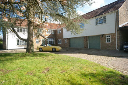
- Price
- £1,250,000
- Size
- 1.01 acres
Added on 10/09/2026House with Land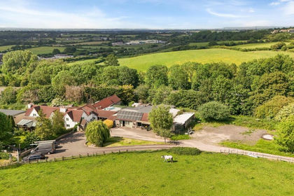
- Price
- Guide Price£925,000
- Size
- 1.8 acres
Parkfield, Pucklechurch, BS16, Pucklechurch, South Gloucestershire BS16 England
Added on 12/09/2026House with Land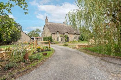
- Price
- Guide Price£1,100,000
- Size
- 3 acres
Horton, South Gloucestershire, Horton, South Gloucestershire BS37 England
Added on 26/09/2026House with Land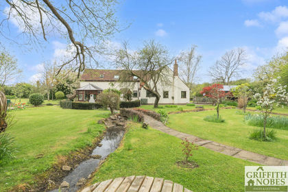
- Price
- Guide Price£995,000
- Size
- 1.5 acres
Added on 22/04/2026House with Land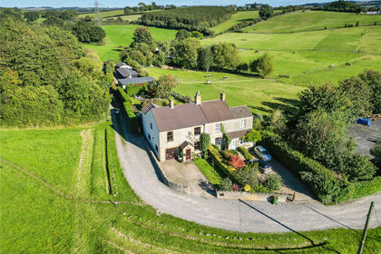
- Price
- Guide Price£1,075,000
- Size
- 12 acres
London Road, Warmley, Bristol, BS30, Bristol, South Gloucestershire BS30 England
Added on 08/08/2026Equestrian property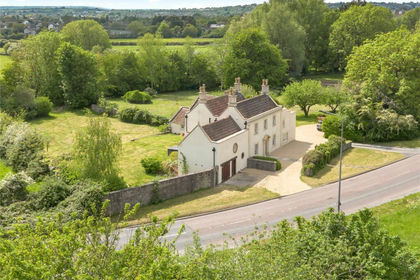
- Price
- Offers in Region of£1,100,000
- Size
- 2 acres
London Road, Warmley, Bristol, BS30, Siston, South Gloucestershire BS30 England
Added on 16/05/2026House with Land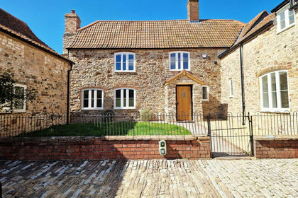
- Price
- Guide Price£1,500,000
- Size
- 2 acres
Badgers lane, Almondsbury, BS32, Almondsbury, South Gloucestershire BS32 England
Added on 08/09/2026Farmhouse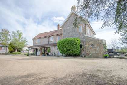
- Price
- £1,425,000
- Size
- 5 acres
Riding Barn Hill, Wick, Bristol, BS30, Wick and Abson, South Gloucestershire BS30 England
Added on 29/01/2026House with Land
- Price
- Offers in Excess of£990,000
- Size
- 0.67 acres
Added on 20/03/2026Development Land
- Price
- £1,195,000
- Size
- 2.17 acres
Chapel Road, Oldbury-On-Severn, BS35, Oldbury-upon-Severn, South Gloucestershire BS35 England
Added on 10/09/2026Farmhouse