Cockbrook Farm, Old Weston, PE28
- Bedrooms
- 3
- Bathrooms
- 2
Key Features
- In course of construction
- Exceptional barn conversion
- Part of small scheme of just four individual, quality homes
- Delightful location surrounded by open countryside
- Principal bedroom with en suite.
- Two additional double bedrooms and family bathroom
- Expansive 29ft x 15ft living area with doors opening onto the garden.
- Including carefully crafted, fully-fitted kitchen.
- Air-source heat pump with underfloor heating.
- Private garden and parking.
Description
A delightful barn conversion offering around 1,070 square feet of characterful accommodation, ideal for young families, ‘downsizers’ who don’t want to compromise on style and quality, and certainly those looking for a relaxing country retreat.
In brief, the property offers three bedrooms, two bath/shower rooms, and stunning 29ft x 15ft living area with superbly fitted kitchen and glazed doors which open onto the garden terrace.
The Development
Cockbrook Farm is a small, select scheme of just four exceptional homes by Celtic Rose Developments, superbly positioned in a delightful semi-rural location at the edge of the charming and conveniently located village of Old Weston.
Offering a choice of styles and accommodation to satisfy the most discerning house buyer, this fine collection of beautifully crafted homes has been sympathetically designed and built with quality materials to blend seamlessly within the surrounding Cambridgeshire countryside.
General Specification in Brief
• Outstanding, finely crafted kitchens, comprehensively fitted with quality countertops and upstands, large central island, high-end appliances to include twin ovens, hob, dishwasher, fridge freezer.
• Well-appointed family bathroom and en suite shower room to the principal bedroom, with elegant fittings and restful, contrasting ceramic tiling to water-sensitive areas.
• Quality floorcoverings throughout.
• Air-source heat pump with underfloor heating.
• Private, fenced and lawned gardens with generous patio area in sandstone, accessed from the house by French doors, ideal for indoor/outdoor entertaining.
• Gravelled driveway with dedicated parking.
The Developer
Celtic Rose is an exceptional independent housebuilder, committed to delivering thoughtfully designed homes in carefully selected locations. With an unwavering commitment to quality and craftsmanship, they create distinctive residences that effortlessly combine architectural integrity with modern living.
Each Celtic Rose project is conceived with sensitivity to its surroundings, reflecting the character and heritage of the local area while introducing beautifully appointed, contemporary interiors. From the initial design concept through to the finishing touches, meticulous attention to detail is evident at every stage, resulting in properties that are as individual as they are characterful.
Location
The site is located within the attractive village of Old Weston, which sits approximately 2 miles north of the recently upgraded A14, providing onward access to the A1, M1 and M6, and is surrounded by open countryside and farmland. The village enjoys facilities such as an attractive Church, pub/restaurant, farm shop, playground and active village hall. The neighbouring village of Brington has the benefit of a Church of England aided primary school, which then is a feeder for Hinchingbrooke Secondary School.
Whilst being ideal for those seeking peaceful, rural surroundings, the village is also perfectly positioned for travel, be it commuting or for leisure, with the recently upgraded A14 just five minutes away providing access to the M11, A1 and A428. Mainline railway stations are available at St Neots 12 miles away with trains to London Kings Cross, 52 minutes and 61 minutes respectively. Luton, Stansted and East Midlands airports are readily accessible in a little over an hou...
BUYERS INFORMATION
To comply with government Money Laundering Regulations 2019, we are required to confirm the identity of all prospective buyers at the point of agreeing a sale. We use the services of a third party and there is a nominal charge for this service. Please note that we are unable to issue a Memorandum of Agreed Sale until the checks are complete.
Map Location
Property details
- Tenure
- Freehold
- Council Tax Band
- A
- Date Posted
- 2026-07-18
Utilities & Restrictions
Utilities
- Electricity
- Mains, Solar Panels
- Water
- Private Supply
- Heating
- Air Source Heat Pump
- Broadband
- No Internet Connection
- Sewerage
- Septic Tank / Private
Rights & Restrictions
- Public Rights of Way
- Yes
- Private Rights of Way
- Ask Agent
- Listed Property
- Ask Agent
- Restrictions
- Ask Agent
Listed status, conservation areas and planning constraints for this location are in the full report.
Property Features
- Accessibility
- Lateral Living
- Parking
- Driveway, EV Charger
- Garden
- Garden
Beyond the particulars: planning activity, flood history, heritage and ground risks, checked for this exact spot.
Connectivity
Broadband
Fastest speed available at this postcode
14 Mbps
Standard (10-30 Mbps)
Suitable for
- Web & social
- Music streaming
- Standard video calls
Mobile signal
Outdoor predictions; indoor signal depends on building materials.
Ofcom Connected Nations postcode-level predictions. Speeds and signal are modelled, not measured, and vary between addresses and providers.
Signal is the easy part. Planning activity, flood history and protected designations here are in the full report.
Nearest Schools
Primary
- Brington CofE Primary School2.2 milesNo Ofsted rating
- Ages
- 4 to 11
- Pupils
- 94
- Type
- Voluntary controlled school
- Faith
- Church of England
- Titchmarsh Church of England Primary School3.8 milesOfsted report card · Jun 2026
- Ages
- 4 to 11
- Pupils
- 101
- Type
- Voluntary controlled school
- Faith
- Church of England
- Spaldwick Primary School5 milesOfsted: Good *
- Ages
- 4 to 11
- Pupils
- 104
- Type
- Academy converter
- Polebrook Church of England Primary School5 milesNo Ofsted rating
- Ages
- 5 to 11
- Pupils
- 70
- Type
- Academy converter
- Faith
- Church of England
- Trinity Church of England Primary School5.1 milesOfsted: Good
- Ages
- 4 to 11
- Pupils
- 160
- Type
- Academy converter
- Faith
- Church of England
Secondary
- Prince William School5.8 milesOfsted: Good
- Ages
- 11 to 18
- Pupils
- 1,416
- Type
- Academy sponsor led
- Sawtry Village Academy6.1 milesNo Ofsted rating
- Ages
- 11 to 18
- Pupils
- 1,101
- Type
- Academy converter
- Manor School6.5 milesOfsted: Inadequate
- Ages
- 11 to 19
- Pupils
- 851
- Type
- Academy converter
- The Ferrers School10 milesOfsted report card · Mar 2026
- Ages
- 11 to 18
- Pupils
- 937
- Type
- Academy converter
- Hinchingbrooke School10 milesOfsted report card · May 2026
- Ages
- 11 to 18
- Pupils
- 2,173
- Type
- Academy converter
* Latest graded judgement covers quality of education only; no overall grade was issued under the 2024-25 inspection framework.
Distances are straight-line from the advertised location. Source: the national school registers (DfE, Welsh Government, Scottish Government) and Ofsted.
Schools are just the start: sold prices nearby, planning activity and any flood history are in the full report.
Amenities
Supermarket
GP surgery
Pharmacy
Hospital
Straight-line distances from the advertised location. Sources: NHS records, Geolytix supermarket locations, OS Open Greenspace and the national trails registers.
The area stacks up? Now check the location itself: planning nearby, protected designations and past flooding.
Getting Around
Nearest station
Nearest bus stop
Typical drive times
Straight-line distances from the advertised location; drive times are typical free-flow times over OpenStreetMap road data, so allow more at peak. Public transport locations from DfT NaPTAN.
Easy to reach matters. So do planning activity, flood history and ground risks: all in the full report.
Flood Risk
From Environment Agency flood map open data, checked around the advertised map pin and allowing for the listed acreage where known. This summary comes from LandSale, the advertising platform, not from the listing agent, and is not part of the agent's particulars. Risk can vary across a single holding, so verify anything critical through your own searches before committing.
Rivers and the sea
Surface water
The detail behind these bandings
The full report pinpoints where this location sits on the flood maps, and runs the deeper checks that usually only surface after an offer.
- Exact flood zones & annual chances (included in the full report)
- Any recorded past flooding (included in the full report)
- Planning activity nearby (included in the full report)
- Heritage & conservation (included in the full report)
- Protected nature designations (included in the full report)
- Ground risks (included in the full report)
- Sold prices nearby (included in the full report)
£14.99 · one-off purchase
By LandSale, the platform. Not provided by the listing agent. Ready in about a minute.
Important notice: Information, maps and tags on this page are drawn from the advertising agent's marketing materials or generated automatically. LandSale has not verified them. Relying on these details is at your own risk, always carry out independent checks before committing to a purchase.
LandSale full disclaimer
Marketing information only - not formal particulars. The details on this website are provided for general guidance and do not constitute an offer or contract. Neither LandSale nor the advertising estate/land agent accepts responsibility for any inaccuracy.
1. Source of information
- Listing content: Core description, asking price, tenure, measurements, photographs and planning history originate from the marketing materials of the advertising estate or land agent. LandSale does not author this content and cannot guarantee its accuracy.
- Automated tags & categorisation: Property type, land-use class, acreage bands and similar labels may be applied by machine-learning models. They are intended as a helpful guide only and may not reflect the property's legal status or permitted use.
- Third-party & enriched data layers: Maps, boundary outlines, planning designations, soil reports, broadband coverage and other environmental or location-based insights are licensed from external suppliers. Such data are supplied “as is", may be incomplete or out of date and are subject to change without notice.
2. Verification required
Prospective purchasers must verify critical matters, including but not limited to planning permission, title boundaries, public rights of way, environmental constraints, acreage, services, access and VAT status, through their own inspections, specialist surveys, legal advisers and the selling agent before relying on the information or entering into any contract.
3. No warranty or liability
LandSale gives no warranty, express or implied, as to the accuracy, completeness or fitness for any particular purpose of the information displayed. LandSale shall not be liable for any loss, damage, cost or expense arising directly or indirectly from any use of or reliance on such information, save where liability may not be excluded by law.
4. Updates & feedback
If you believe any detail on this listing is inaccurate, please let us know. We will investigate and, where appropriate, update the listing or notify the agent.
© LandSale | Version 1.3 - August 2026
Listing agent
Peter Lane & Partners, Kimbolton
6 High Street, Kimbolton, Cambridgeshire, PE28 0HA
View agent profileSimilar properties for sale
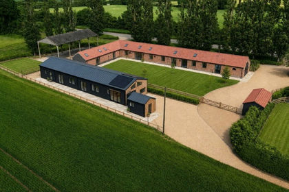
- Price
- Guide Price£525,000
Cockbrook Lane, Old Weston, PE28, Old Weston, Cambridgeshire PE28 England
Added on 08/08/2026Barn Conversion
- Price
- Offers in Excess of£450,000
NN14 Manor Farm Court, Titchmarsh, Titchmarsh, North Northamptonshire NN14 England
Added on 29/01/2026Barn Conversion
- Price
- £475,000
Added on 04/07/2026Barn Conversion
- Price
- Guide Price£550,000
- Size
- 1.5 acres
Weldon Road, Upper Benefield, Northamptonshire, PE8, Benefield, North Northamptonshire PE8 England
Added on 30/07/2026Camping Land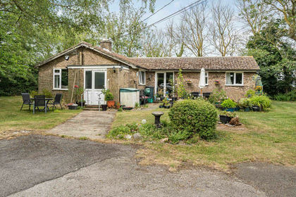
- Price
- Guide Price£400,000
- Size
- 2.6 acres
Added on 25/07/2026House with Land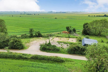
- Price
- Offers in Region of£350,000
Hatch Lane, Keysoe MK44, Bolnhurst and Keysoe, Bedford MK44 England
Added on 10/02/2026Self Build Plot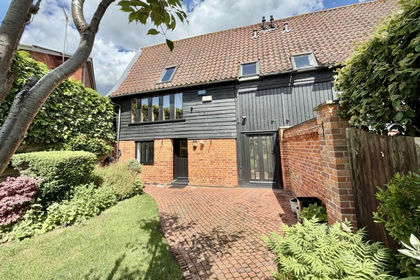
- Price
- £485,000
Added on 12/06/2026Barn Conversion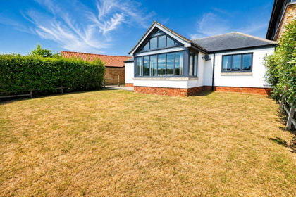
- Price
- £350,000
Knuston Road, Knuston, Northamptonshire, NN29, Irchester, North Northamptonshire NN29 England
Added on 20/08/2026Barn Conversion
- Price
- £400,000
- Size
- 5.25 acres
St. Marys Road, Ramsey, Huntingdon., PE26, Ramsey, Cambridgeshire PE26 England
Added on 01/08/2026House with Land
- Price
- £400,000
- Size
- 5.25 acres
St. Marys Road, Ramsey St Mary's, Ramsey, Cambridgeshire PE26 England
Added on 26/08/2026House with Land