Luxborough, Watchet, Somerset, TA23
- Land size
- 117.55 acres
- Bedrooms
- 4
- Bathrooms
- 5
Key Features
- Beautifully renovated farmhouse
- Superb Livestock Holding
- Modern range of farm buildings
- Productive Arable & Pasture Land
- Sporting Appeal
- No onward Chain
- 117.55 Acres
- Available in 2 lots
- More land available by separate negotiation
Description
A beautifully presented residential mixed livestock holding enjoying an elevated position within the Exmoor National Park with breathtaking views, together with an attractive period farmhouse, an excellent range of modern farm buildings and productive agricultural land. In all extending to approximately 117.55 Acres (47.57 hectares).
This striking farmhouse is believed to date back to the 1500’s and comprises stone elevations beneath a pitched tiled roof. The property was completely modernised in 2014 to an exceptional standard whilst carefully retaining many of the period features associated with a traditional Exmoor farmhouse. The accommodation briefly comprises an entrance porch with French doors opening into a fabulous open-plan kitchen/breakfast room fitted with a modern range of base and wall units incorporating several integral appliances. A central island unit, granite work surfaces and an oil-fired Aga set within an impressive Inglenook fireplace create a superb focal point. To the east lies a conservatory which captures the morning sun and provides direct access to an enclosed courtyard garden. To the rear of the house is an office and a well appointed ground floor shower room. The principal living room enjoys a dual aspect and features a substantial Inglenook fireplace with exposed stonework, heavy timber beams and an inset wood-burning stove. A formal dining room adjoins the kitchen, whilst the magnificent orangery provides another stunning reception area featuring a glazed gable elevation that takes full advantage of the exceptional views. Doors lead directly onto an elevated sun terrace, creating the perfect space for outdoor entertaining. On the first floor are four generous double bedrooms, three of which benefit from ensuite facilities, together with a stylish three piece family bathroom. A number of useful storage cupboards are located off the landing. To fully appreciate the quality, character and setting of this exceptional Exmoor farmhouse, an internal inspection is highly recommended.
The property occupies an elevated and commanding position on the edge of the highly sought-after Exmoor village of Luxborough, enjoying far-reaching views across the surrounding undulating countryside and wooded valleys at the heart of the Exmoor National Park. This picturesque and unspoilt village is renowned for its attractive period properties, historic parish church and thriving community, whilst retaining a peaceful rural atmosphere.
The property is surrounded by some of the finest landscapes in the South West, with direct access to an extensive network of footpaths, bridleways and country lanes, providing exceptional opportunities for walking, riding and outdoor pursuits. The dramatic moorland scenery of Exmoor, together with its acclaimed Dark Sky Reserve status, offers an outstanding natural environment in which to live. Despite its rural setting, Luxborough is conveniently situated for access to the larger villages and towns of Dunster, Minehead, Wiveliscombe and Taunton, providing a comprehensive range of shopping, educational and recreational facilities. The North Somerset coastline is also within easy reach, offering a variety of beaches, picturesque harbours and coastal walks.
Monkham Farm benefits from the perfect balance of privacy and accessibility, occupying a delightful edge-of-village location with a wonderful outlook over the surrounding countryside, making it an ideal setting for those seeking a lifestyle property within one of the most desirable areas of Exmoor National Park.
The Gardens
The gardens lie predominantly to the front and sides of the farmhouse and are elevated above the adjoining country lane. Stone steps rise to a raised lawned garden bordered by beautifully maintained flower beds planted with roses, lavender and a variety of established shrubs and perennials. To one side stands a traditional stone built outbuilding housing the water supply and heating systems. Subject to any necessary consents, this building may offer potential for conversion to a summer house, home office or similar ancillary use.
Further lawns extend to the east of the property, complemented by mature floral borders and enjoys captivating views across the surrounding countryside. Adjacent to the orangery is a magnificent enclosed alfresco dining area bounded by traditional stone walling and planted with box hedging, lavender, roses and other ornamental species, providing a delightful setting for summer entertaining. To the rear of the house is a glasshouse, timber stable block and ample parking.
The Buildings
The buildings lie to the north of the farmhouse and provide approximately 35,000 square feet of covered accommodation comprising predominantly clear-span steel portal framed livestock buildings beneath fibre cement roofs and served by extensive concrete yards.
The buildings comprise:
Lambing Shed (22m x 18m) Mono-pitch livestock building beneath a profiled steel roof.
Covered Yard and Fodder Store (44m x 18m) Steel framed building divided between livestock housing and fodder storage.
Lean-to Building (44m x 11m) Steel frame mono –pitch construction.
Silage Clamp (30m x 15m) Concrete panel elevations with concrete floor.
Grain Store (11m x 23m) Clear-span building with concrete floor an grain storage bins.
Covered Yard (26m x 23m) Twin clear-span livestock buildings of steel frame construction beneath fibre cement roofs with concrete flooring.
Machinery Store (17m x 11m) Steel framed building beneath a fibre cement roof with sheeted doors.
Workshop (9m x 14m) Workshop building with concrete flooring.
Covered Yard (36m x 18m) Modern clear-span steel framed livestock building with concrete flooring and feed barriers.
THE LAND
The land associated with Lot 1 lies to the north and south of the farmstead and comprises a ring-fenced block of gently sloping arable and pastureland divided by a country lane, providing excellent access throughout. Along the southern boundary are attractive water meadows together with several small copses and a pond, all of which add significant wildlife, sporting and amenity appeal. In all, Lot 1 extends to approximately 117.55 acres (47.57 hectares) as shown shaded pink on the identification plan.
Map Location
Property details
- Tenure
- Freehold
- Council Tax Band
- F
- Date Posted
- 2026-07-12
Market Value Analysis
Based on properties with houses in South West England (100+ acres).
Energy Performance Certificate
Energy Efficiency Rating
Based on UK Energy Performance Certificate standards (EU Directive 2002/91/EC)
Utilities & Restrictions
Utilities
- Electricity
- Ask Agent
- Water
- Ask Agent
- Heating
- Ask Agent
- Broadband
- Ask Agent
- Sewerage
- Ask Agent
Rights & Restrictions
- Public Rights of Way
- Ask Agent
- Private Rights of Way
- Ask Agent
- Listed Property
- Ask Agent
- Restrictions
- Ask Agent
Property Features
- Accessibility
- Ask Agent
- Parking
- Parking Available
- Garden
- Garden
Important notice: Information, maps and tags on this page are supplied by the advertising agent or generated automatically. LandSale has not verified them. Relying on these details is at your own risk, always carry out independent checks before committing to a purchase.
LandSale full disclaimer
Marketing information only - not formal particulars. The details on this website are provided for general guidance and do not constitute an offer or contract. Neither LandSale nor the advertising estate/land agent accepts responsibility for any inaccuracy.
1. Source of information
- Agent-supplied content: Core description, asking price, tenure, measurements, photographs and planning history are uploaded by the appointed agent, who remains solely responsible for their accuracy.
- Automated tags & categorisation: Property type, land-use class, acreage bands and similar labels may be applied by machine-learning models. They are intended as a helpful guide only and may not reflect the property's legal status or permitted use.
- Third-party & enriched data layers: Maps, boundary outlines, planning designations, soil reports, broadband coverage and other environmental or location-based insights are licensed from external suppliers. Such data are supplied “as is", may be incomplete or out of date and are subject to change without notice.
2. Verification required
Prospective purchasers must verify critical matters, including but not limited to planning permission, title boundaries, public rights of way, environmental constraints, acreage, services, access and VAT status, through their own inspections, specialist surveys, legal advisers and the selling agent before relying on the information or entering into any contract.
3. No warranty or liability
LandSale gives no warranty, express or implied, as to the accuracy, completeness or fitness for any particular purpose of the information displayed. LandSale shall not be liable for any loss, damage, cost or expense arising directly or indirectly from any use of or reliance on such information, save where liability may not be excluded by law.
4. Updates & feedback
If you believe any detail on this listing is inaccurate, please let us know. We will investigate and, where appropriate, update the listing or notify the agent.
© LandSale | Version 1.2 - January 2026
Listing agent
Greenslade Taylor Hunt, Taunton
13 Hammet Street, Taunton, TA1 1RN
Similar properties for sale
- Price
- Guide Price£2,250,000
- Size
- 137.96 acres
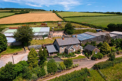
Luxborough, Watchet, Somerset, TA23, Luxborough, Somerset TA23 0SP England
Added on 12/07/2026Farm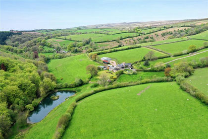
- Price
- Guide Price£2,350,000
- Size
- 398 acres
West Anstey, South Molton, Exmoor Devon, EX36, Molland, Devon EX36 3NT England
Added on 29/01/2026Country Estate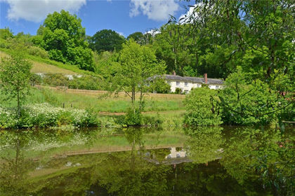
- Price
- Guide Price£2,500,000
- Size
- 62 acres
Cadeleigh, Tiverton, Devon, EX16, Cruwys Morchard, Devon EX16 8HX England
Added on 07/07/2026Country Estate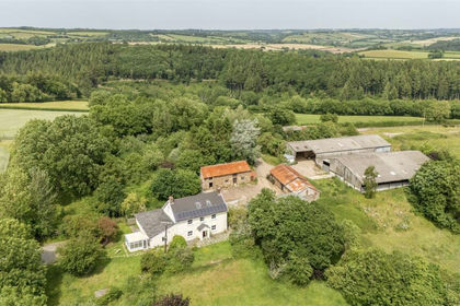
- Price
- Guide Price£1,795,000
- Size
- 85.79 acres
Added on 03/07/2026Farm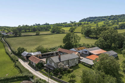
- Price
- Guide Price£1,840,000
- Size
- 111.4 acres
Awliscombe, Honiton, Devon, EX14, Awliscombe, Devon EX14 3PT England
Added on 24/06/2026House with Land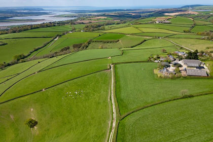
- Price
- Guide Price£1,800,000
- Size
- 99.49 acres
Added on 07/06/2026Farm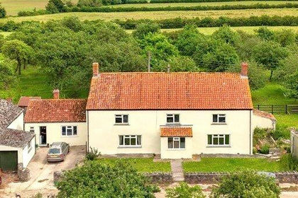
- Price
- Guide Price£1,750,000
- Size
- 220.63 acres
Nythe, Ashcott, Bridgwater, Somerset, TA7, Ashcott, Somerset TA7 9BN England
Added on 22/06/2026Livestock Farm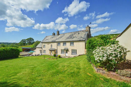
- Price
- £2,000,000
- Size
- 98 acres
Exbourne -Okehampton, Devon, Exbourne, Devon EX20 3RL England
Added on 11/04/2026Farm
- Price
- £2,000,000
- Size
- 98 acres
Exbourne -Okehampton, Devon, Exbourne, Devon EX20 3RL England
Added on 19/03/2026Farm