Swanton Road, West Peckham, Maidstone, Kent, ME18
- Bedrooms
- 4
- Bathrooms
- 2
Description
GUIDE PRICE £925,000 TO £975,000. Situated in an idyllic rural setting along a quiet, narrow lane, this exceptional detached barn conversion enjoys breathtaking views across open fields and neighbouring woodlands. Nestled within a charming hamlet on the outskirts of West Peckham, the property combines peaceful countryside living with excellent accessibility. The nearby market town of Tonbridge offers a mainline station with direct links to London in under 40 minutes, while the M20 provides convenient road connections to the M25 and beyond. Beautifully reimagined by the current owners, this remarkable home seamlessly blends characterful period features with high-quality modern finishes. From the moment you step through the front door, the sense of warmth and welcome is unmistakable. The impressive 21ft dining hall immediately sets the tone, with windows and French doors opening onto a secluded secret garden, a perfect retreat to unwind with an evening drink while enjoying the sounds of the surrounding wildlife. The accommodation flows effortlessly, with a well-appointed kitchen breakfast room positioned to the rear, complementing the spectacular central lounge. This breathtaking space is truly the heart of the home, featuring a striking wood-burning stove, a vaulted ceiling, and a galleried landing above, creating a dramatic yet inviting environment ideal for both relaxing and entertaining guests. The ground floor also benefits from a practical utility room and a generously proportioned guest suite complete with its own bathroom, offering comfort and privacy for visitors. Upstairs, three further well-sized bedrooms provide delightful views over the gardens and surrounding countryside, while the luxurious family bathroom, fitted with both a bath and separate shower, serves the first floor. Externally, the property is equally impressive. A wide driveway provides ample off-street parking and leads to the integrated garage. The beautifully landscaped gardens wrap around the home, thoughtfully designed to make full use of the stunning surroundings. To the front, a level lawn offers a safe and spacious area for children to play, while a charming side seating area provides the perfect spot for morning coffee or evening drinks overlooking the rockery. A pathway leads gently upward to the main garden, where the rear truly comes into its own. Here, a generous lawn area gives way to a large elevated deck, perfectly positioned to capture the far-reaching views. Designed with entertaining in mind, this area includes a substantial covered dining space, ideal for al fresco gatherings with family and friends throughout the summer months. For those seeking a truly special home full of character, set within a peaceful rural landscape yet still within easy reach of town and transport links, this outstanding property offers the perfect balance. Arrange your viewing today to fully appreciate all that it has to offer.
Agents note: Please note that an AML fee is chargeable to the buyer once an offer is accepted to cover the cost of carrying out the required identity and anti-money laundering checks. Once these checks have been completed, the fee cannot be refunded, even if the property purchase does not go ahead.
Map Location
Property details
- Tenure
- Freehold
- Council Tax Band
- G
- Date Posted
- 2026-06-10
Energy Performance Certificate
Energy Efficiency Rating
Based on UK Energy Performance Certificate standards (EU Directive 2002/91/EC)
Utilities & Restrictions
Utilities
- Electricity
- Ask Agent
- Water
- Ask Agent
- Heating
- Ask Agent
- Broadband
- Ask Agent
- Sewerage
- Ask Agent
Rights & Restrictions
- Public Rights of Way
- Ask Agent
- Private Rights of Way
- Ask Agent
- Listed Property
- Ask Agent
- Restrictions
- Ask Agent
Property Features
- Accessibility
- Ask Agent
- Parking
- Parking Available
- Garden
- Garden
Connectivity
Broadband
Fastest speed available at this postcode
1 Mbps
Under 10 Mbps here
Suitable for
- Basic browsing & email
Fixed wireless access may also be an option here.
Mobile signal
Outdoor predictions; indoor signal depends on building materials.
Ofcom Connected Nations postcode-level predictions. Speeds and signal are modelled, not measured, and vary between addresses and providers.
Nearest Schools
Primary
- Mereworth Community Primary School0.8 milesNo Ofsted rating
- Ages
- 5 to 11
- Pupils
- 209
- Type
- Community school
- Kings Hill School Primary and Nursery2.3 milesOfsted: Outstanding
- Ages
- 2 to 11
- Pupils
- 472
- Type
- Community school
- Hadlow Primary School2.3 milesOfsted: Good *
- Ages
- 4 to 11
- Pupils
- 187
- Type
- Community school
- Valley Invicta Primary School At Kings Hill2.4 milesOfsted: Outstanding *
- Ages
- 4 to 11
- Pupils
- 226
- Type
- Academy sponsor led
- Plaxtol Primary School2.4 milesNo Ofsted rating
- Ages
- 4 to 11
- Pupils
- 85
- Type
- Community school
Secondary
- Hadlow Rural Community School2.5 milesOfsted: Requires improvement
- Ages
- 11 to 16
- Pupils
- 377
- Type
- Free schools
- Wrotham School3.5 milesNo Ofsted rating
- Ages
- 11 to 18
- Pupils
- 1,054
- Type
- Academy converter
- The Malling School4.2 milesOfsted: Good
- Ages
- 11 to 18
- Pupils
- 1,051
- Type
- Foundation school
- Leigh Academy Hugh Christie4.3 milesOfsted: Requires improvement
- Ages
- 11 to 18
- Pupils
- 688
- Type
- Academy sponsor led
- Hillview School for Girls5.6 milesNo Ofsted rating
- Ages
- 11 to 18
- Pupils
- 1,500
- Type
- Academy converter
- Gender
- Girls
* Latest graded judgement covers quality of education only; no overall grade was issued under the 2024-25 inspection framework.
Distances are straight-line from the advertised location. Source: the national school registers (DfE, Welsh Government, Scottish Government) and Ofsted.
Amenities
Supermarket
GP surgery
Pharmacy
Hospital
Straight-line distances from the advertised location. Sources: NHS records, Geolytix supermarket locations, OS Open Greenspace and the national trails registers.
Getting Around
Nearest station
Nearest bus stop
Typical drive times
Straight-line distances from the advertised location; drive times are typical free-flow times over OpenStreetMap road data, so allow more at peak. Public transport locations from DfT NaPTAN.
Flood Risk
From Environment Agency flood map open data, checked around the advertised map pin and allowing for the listed acreage where known. This summary comes from LandSale, the advertising platform, not from the listing agent, and is not part of the agent's particulars. Risk can vary across a single holding, so verify anything critical through your own searches before committing.
Rivers and the sea
Surface water
The detail behind these bandings, including exact zones and annual chances, any recorded past flooding, plus planning, heritage, nature and ground checks, is in the .
Important notice: Information, maps and tags on this page are supplied by the advertising agent or generated automatically. LandSale has not verified them. Relying on these details is at your own risk, always carry out independent checks before committing to a purchase.
LandSale full disclaimer
Marketing information only - not formal particulars. The details on this website are provided for general guidance and do not constitute an offer or contract. Neither LandSale nor the advertising estate/land agent accepts responsibility for any inaccuracy.
1. Source of information
- Agent-supplied content: Core description, asking price, tenure, measurements, photographs and planning history are uploaded by the appointed agent, who remains solely responsible for their accuracy.
- Automated tags & categorisation: Property type, land-use class, acreage bands and similar labels may be applied by machine-learning models. They are intended as a helpful guide only and may not reflect the property's legal status or permitted use.
- Third-party & enriched data layers: Maps, boundary outlines, planning designations, soil reports, broadband coverage and other environmental or location-based insights are licensed from external suppliers. Such data are supplied “as is", may be incomplete or out of date and are subject to change without notice.
2. Verification required
Prospective purchasers must verify critical matters, including but not limited to planning permission, title boundaries, public rights of way, environmental constraints, acreage, services, access and VAT status, through their own inspections, specialist surveys, legal advisers and the selling agent before relying on the information or entering into any contract.
3. No warranty or liability
LandSale gives no warranty, express or implied, as to the accuracy, completeness or fitness for any particular purpose of the information displayed. LandSale shall not be liable for any loss, damage, cost or expense arising directly or indirectly from any use of or reliance on such information, save where liability may not be excluded by law.
4. Updates & feedback
If you believe any detail on this listing is inaccurate, please let us know. We will investigate and, where appropriate, update the listing or notify the agent.
© LandSale | Version 1.2 - January 2026
Listing agent
Freeman Forman, Tonbridge
146 High Street Tonbridge TN9 1BB
Similar properties for sale
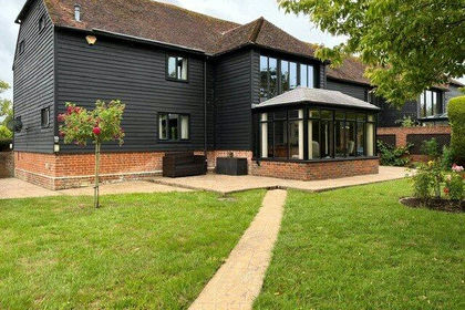
- Price
- Guide Price£850,000
Maidstone Road, Hadlow, Tonbridge, Kent, TN11, Hadlow, Kent TN11 England
Added on 18/06/2026Barn Conversion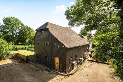
- Price
- Guide Price£800,000
Added on 27/06/2026Barn Conversion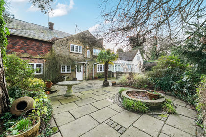
- Price
- Guide Price£1,100,000
- Size
- 4.87 acres
Added on 17/02/2026Smallholding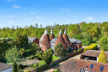
- Price
- Guide Price£800,000
Added on 11/05/2026Barn Conversion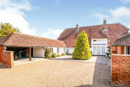
- Price
- Guide Price£700,000
Laddingford, Maidstone, Kent, ME18, Yalding, Kent ME18 England
Added on 29/01/2026Barn Conversion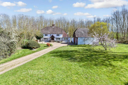
- Price
- Guide Price£860,000
- Size
- 2.48 acres
Added on 11/02/2026Cottage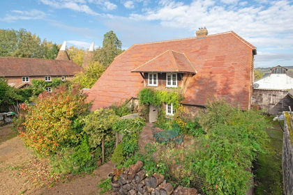
- Price
- Offers in Excess of£995,000
- Size
- 0.25 acres
Seal Chart, Sevenoaks, Sevenoaks, TN15, Seal, Kent TN15 England
Added on 07/02/2026Barn Conversion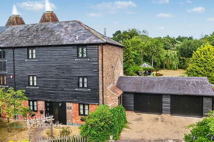
- Price
- Guide Price£950,000
- Size
- 0.4 acres
Church Lane, West Farleigh, ME15, West Farleigh, Kent ME15 England
Added on 11/08/2026Barn Conversion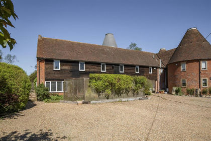
- Price
- £950,000
- Size
- 1.2 acres
Added on 02/05/2026House with Land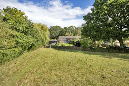
- Price
- Guide Price£985,000
- Size
- 1.6 acres
Grenadier, Riding Lane, Hildenborough, Kent, TN11, Hildenborough, Kent TN11 England
Added on 28/06/2026House with Land