Moat Hall, Little Ouseburn, York, YO26
- Land size
- 33 acres
- Bedrooms
- 6
- Bathrooms
- 3
Key Features
- WONDERFUL FAMILY ESTATE
- PEACEFUL AND PRIVATE
- 6 BEDROOMS
- 5 RECEPTION ROOMS
- SEPARATE COTTAGE
- EXQUISITE GARDENS AND GROUNDS
- PADDOCKS, WOODLAND AND LAKE
- 33 ACRES
- TENNIS COURT
- HIGHLY POPULAR LOCATION
Description
THE PERFECT GRADE II LISTED FAMILY COUNTRY RESIDENCE WITH WONDERFUL ACCOMMODATION, ANCILLARY COTTAGE, SPECTACULAR GARDENS AND 33 ACRES OF PADDOCKS AND GROUNDS.
NEARBY:
York 14 miles, Harrogate 14 miles, Boroughbridge 6 miles, A1(M) 6.5 miles.
ACCOMMODATION:
Main House: Ground Floor: Reception Hall, Drawing Room, Dining Room, Sitting Room, Breakfast Kitchen and Family Room, Boot Room, Utility, w.c.
First Floor: Principal Bedroom with Ensuite Bathroom and Dressing Room. 5 Further Bedrooms, including a Teenage Suite.
Second Floor: Attic with ample storage space.
Cottage: (currently used as a successful Airbnb / holiday cottage) Ground Floor: Entrance Hall, Kitchen / Breakfast Room, Sitting Room, w.c. First Floor: 2 Bedrooms and Shower Room. Outside: Pebbled Driveways, Ample Parking, Enclosed Courtyard.
Outbuildings & Barn: With Workshop, Gardeners Store, and Storage. Garaging - Double and Single Garage with Games Room and Office Above. Store Room and Gym. Stables and Additional Garage. Gardens: Gorgeous lawned gardens surrounding the property, with an orchard, vegetable patch, herbaceous beds and borders, woodlands, and paddocks. Loggia, pergolas and a number of terraces and outside entertaining areas. In all 33 acres (13.3 Ha).
INTRODUCTION:
Moat Hall is a truly exceptional family home and estate! There are gorgeous rooms and space on every floor that allow for very easy and relaxed day to day living, and no finer example is the awesome breakfast kitchen that has French doors opening out on the Mediterranean style loggia and dining area that connects to a sublime garden. There is a unique balance of formal rooms and areas to "hang out" in. All the bedrooms are of great size and work well for the modern day family. In addition to the main house is a separate cottage that is ideal for a dependent relative or holiday cottage use. What is truly remarkable about Moat Hall is it's gardens, grounds and outside space. There is a fabulous blend of manicured lawns, well stocked beds and borders, specimen trees, woodland, lake and paddocks. All of which amounts to circa 33 acres and is totally private. There are outbuildings galore, stables, garages and formal parking areas. What 3 words would be - Glorious, Unique, Sensational!
The History: The exact origins of Moat Hall are not known however, it is believed the Hall sits on the site of a much older property that could have possibly been moated and hence its name, although this has not been confirmed. A study by the North Yorkshire and Cleveland Vernacular Buildings Study Group found evidence of a substantial medieval timber framed Manor House, with the earliest part still surviving as a central part of the Hall. The date of this part would suggest either late 15th or early 16th century, judging by evidence found within the building. It was at one time under the ownership of the adjoining Kirby Estate and they undertook various alterations and improvements, which included the addition of the grand staircase and the remodelling of the façade to create a typically symmetrical Georgian elevation. They also demolished the main 18th century residence and made Moat Hall a Dower House and built an 18th century mausoleum, which still adjoins the nearby Norman Holy Trinity Church and forms an attractive aspect on the northern boundary. The property continued to have changes made to it and the accommodation was later rationalised to create what is now an easily managed country house.
ENVIRONS:
Moat Hall is set in a peaceful, semi-rural location between the villages of Little Ouseburn and Great Ouseburn. Both villages offer useful local amenities including a primary school, a village shop, and a pub. The nearby market towns of Boroughbridge and Easingwold provide a wide range of shops and services, and the surrounding area is home to several well-regarded state and independent schools. For those needing to commute, the property is well-connected. The A1(M) (Junction 47) lies just a few miles to the east, offering easy access to major business centres. Nearby railway stations at Kirk Hammerton and Cattal provide direct connections to York and Leeds, where fast mainline services run to London Kings Cross and Edinburgh. There are also regular domestic and international flights from Leeds Bradford International Airport.
SERVICES:
The property has mains water and electricity with the inclusion of a backup generator to the main house. Both the house and cottage benefit from oil-fired central heating and are connected to a private drainage system.
LOCAL AUTHORITY:
North Yorkshire Council
TENURE DETAILS:
We are advised that the property is freehold and that vacant possession will be granted upon legal completion.
DIRECTIONS:
From the A59 York to Harrogate road, take the B6265 towards Boroughbridge. Continue along here and take the right hand turn to Little Ouseburn. Follow the road through the village and at the end turn left and Moat Hall will be found on the left hand side just before the church.
VIEWING ARRANGEMENTS:
Strictly with the selling agent - Croft.
Map Location
Property details
- Tenure
- Freehold
- Council Tax Band
- Ask Agent
- Date Posted
- 2026-06-07
Market Value Analysis
Compared with 11 Homes with Land listings in Yorkshire and The Humber (25+ acres).
Utilities & Restrictions
Utilities
- Electricity
- Ask Agent
- Water
- Ask Agent
- Heating
- Ask Agent
- Broadband
- Ask Agent
- Sewerage
- Ask Agent
Rights & Restrictions
- Public Rights of Way
- Ask Agent
- Private Rights of Way
- Ask Agent
- Listed Property
- Ask Agent
- Restrictions
- Ask Agent
Listed status, conservation areas and planning constraints for this location are in the full report.
Property Features
- Accessibility
- Ask Agent
- Parking
- Parking Available
- Garden
- Garden
Beyond the particulars: planning activity, flood history, heritage and ground risks, checked for this exact spot.
Connectivity
Broadband
Fastest speed available at this postcode
1 Gbps
Gigabit full fibre · available to 50% of premises
Suitable for
- 4K streaming on every screen
- Full-time home working
- Online gaming & big downloads
Fixed wireless access may also be an option here.
Mobile signal
Outdoor predictions; indoor signal depends on building materials.
Ofcom Connected Nations postcode-level predictions. Speeds and signal are modelled, not measured, and vary between addresses and providers.
Signal is the easy part. Planning activity, flood history and protected designations here are in the full report.
Nearest Schools
Primary
- Great Ouseburn Community Primary School924 metresNo Ofsted rating
- Ages
- 3 to 11
- Pupils
- 120
- Type
- Community school
- Marton-Cum-Grafton Church of England Primary School2.3 milesOfsted: Outstanding *
- Ages
- 3 to 11
- Pupils
- 100
- Type
- Academy converter
- Faith
- Church of England
- Green Hammerton Church of England Primary School2.6 milesOfsted: Requires improvement *
- Ages
- 3 to 11
- Pupils
- 101
- Type
- Voluntary controlled school
- Faith
- Church of England
- Linton-on-Ouse Primary School3.2 milesOfsted: Good
- Ages
- 3 to 11
- Pupils
- 64
- Type
- Community school
- Kirk Hammerton Church of England Primary School3.4 milesNo Ofsted rating
- Ages
- 4 to 11
- Pupils
- 58
- Type
- Voluntary controlled school
- Faith
- Church of England
Secondary
- Boroughbridge High School4.7 milesOfsted: Requires improvement
- Ages
- 11 to 16
- Pupils
- 388
- Type
- Community school
- King James's School6.6 milesNo Ofsted rating
- Ages
- 11 to 18
- Pupils
- 1,554
- Type
- Community school
- Outwood Academy Easingwold7.1 milesOfsted: Outstanding
- Ages
- 11 to 18
- Pupils
- 823
- Type
- Academy sponsor led
- Wetherby High School8.3 milesNo Ofsted rating
- Ages
- 11 to 16
- Pupils
- 828
- Type
- Foundation school
- Manor Church of England Academy8.5 milesOfsted report card · May 2026
- Ages
- 11 to 16
- Pupils
- 1,136
- Type
- Academy converter
- Faith
- Church of England
* Latest graded judgement covers quality of education only; no overall grade was issued under the 2024-25 inspection framework.
Distances are straight-line from the advertised location. Source: the national school registers (DfE, Welsh Government, Scottish Government) and Ofsted.
Schools are just the start: sold prices nearby, planning activity and any flood history are in the full report.
Amenities
Supermarket
GP surgery
Pharmacy
Hospital
Green space
Straight-line distances from the advertised location. Sources: NHS records, Geolytix supermarket locations, OS Open Greenspace and the national trails registers.
The area stacks up? Now check the location itself: planning nearby, protected designations and past flooding.
Getting Around
Nearest station
Nearest bus stop
Typical drive times
Straight-line distances from the advertised location; drive times are typical free-flow times over OpenStreetMap road data, so allow more at peak. Public transport locations from DfT NaPTAN.
Easy to reach matters. So do planning activity, flood history and ground risks: all in the full report.
Flood Risk
From Environment Agency flood map open data, checked around the advertised map pin and allowing for the listed acreage where known. This summary comes from LandSale, the advertising platform, not from the listing agent, and is not part of the agent's particulars. Risk can vary across a single holding, so verify anything critical through your own searches before committing.
Rivers and the sea
Mapped within the area searched, not at the advertised map pin itself.
Surface water
Mapped within the area searched, not at the advertised map pin itself.
The detail behind these bandings
The full report pinpoints where this location sits on the flood maps, and runs the deeper checks that usually only surface after an offer.
- Exact flood zones & annual chances (included in the full report)
- Any recorded past flooding (included in the full report)
- Planning activity nearby (included in the full report)
- Heritage & conservation (included in the full report)
- Protected nature designations (included in the full report)
- Ground risks (included in the full report)
- Sold prices nearby (included in the full report)
£14.99 · one-off purchase
By LandSale, the platform. Not provided by the listing agent. Ready in about a minute.
Important notice: Information, maps and tags on this page are drawn from the advertising agent's marketing materials or generated automatically. LandSale has not verified them. Relying on these details is at your own risk, always carry out independent checks before committing to a purchase.
LandSale full disclaimer
Marketing information only - not formal particulars. The details on this website are provided for general guidance and do not constitute an offer or contract. Neither LandSale nor the advertising estate/land agent accepts responsibility for any inaccuracy.
1. Source of information
- Listing content: Core description, asking price, tenure, measurements, photographs and planning history originate from the marketing materials of the advertising estate or land agent. LandSale does not author this content and cannot guarantee its accuracy.
- Automated tags & categorisation: Property type, land-use class, acreage bands and similar labels may be applied by machine-learning models. They are intended as a helpful guide only and may not reflect the property's legal status or permitted use.
- Third-party & enriched data layers: Maps, boundary outlines, planning designations, soil reports, broadband coverage and other environmental or location-based insights are licensed from external suppliers. Such data are supplied “as is", may be incomplete or out of date and are subject to change without notice.
2. Verification required
Prospective purchasers must verify critical matters, including but not limited to planning permission, title boundaries, public rights of way, environmental constraints, acreage, services, access and VAT status, through their own inspections, specialist surveys, legal advisers and the selling agent before relying on the information or entering into any contract.
3. No warranty or liability
LandSale gives no warranty, express or implied, as to the accuracy, completeness or fitness for any particular purpose of the information displayed. LandSale shall not be liable for any loss, damage, cost or expense arising directly or indirectly from any use of or reliance on such information, save where liability may not be excluded by law.
4. Updates & feedback
If you believe any detail on this listing is inaccurate, please let us know. We will investigate and, where appropriate, update the listing or notify the agent.
© LandSale | Version 1.3 - August 2026
Listing agent
Croft, York
Independence House, Office 2, Millfield Lane, Nether Poppleton, York, YO26 6PH
View agent profileSimilar properties for sale
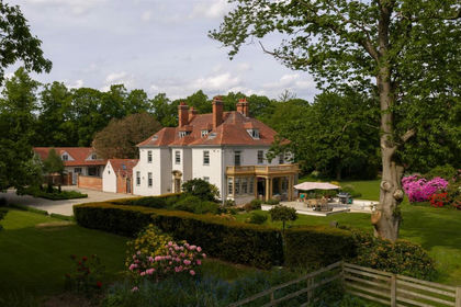
- Price
- Guide Price£3,250,000
- Size
- 9 acres
Helperby Manor, Helperby, York, Brafferton and Helperby, North Yorkshire YO61 England
Added on 04/09/2026Country Home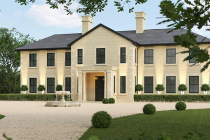
- Price
- £3,600,000
- Size
- 5 acres
Added on 29/01/2026Development Land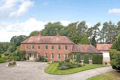
- Price
- £3,600,000
- Size
- 5 acres
Added on 29/01/2026Country Home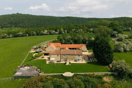
- Price
- Guide Price£3,000,000
- Size
- 11 acres
Osgoodby Cottage, Osgoodby, Thirsk, Thirkleby High and Low with Osgodby, North Yorkshire YO7 England
Added on 28/06/2026Country Home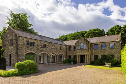
- Price
- £3,500,000
- Size
- 4.5 acres
Crocodile House, Manor Gardens, Thorner, Leeds, Thorner, Leeds LS14 England
Added on 06/03/2026House with Land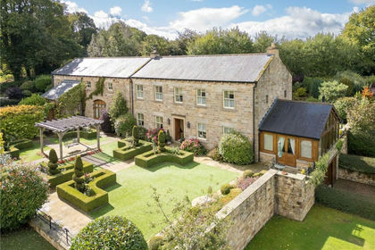
- Price
- Guide Price£5,000,000
- Size
- 6 acres
Felliscliffe, Harrogate, North Yorkshire, HG3, Felliscliffe, North Yorkshire HG3 England
Added on 24/04/2026Country Home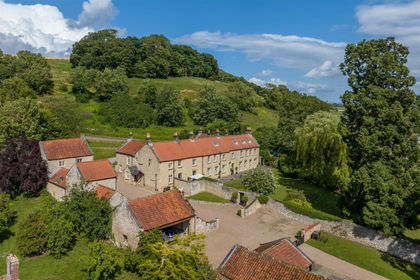
- Price
- Offers in Excess of£3,500,000
- Size
- 22 acres
Stonegrave House, Stonegrave, York YO62, Stonegrave, North Yorkshire YO62 England
Added on 28/05/2026Country Home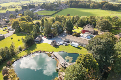
- Price
- £2,850,000
- Size
- 3 acres
Manor House, Keeper Lane, Tong Village, Bradford, BD4, Bradford South, Bradford BD4 England
Added on 08/08/2026Country Home
- Price
- Offers Over£2,950,000
- Size
- 225 acres
Eastfield Farm & The Granary, Nunthorpe, Nunthorpe, Middlesbrough TS7 England
Added on 07/05/2026Country Estate
- Price
- Guide Price£3,950,000
- Size
- 2.5 acres
Added on 01/09/2026House with Land