Back of Ecton, Ecton, DE6
- Land size
- 1.76 acres
- Bedrooms
- 3
- Bathrooms
- 2
Key Features
- A sumptuous two/three-bedroom detached stone farmhouse
- The gross internal area is 1,400sq.ft.
- Set in 1.76 acres with a 0.9 acre paddock
- Beautiful gardens - a garden enthusiast's haven!
- Lovely character features including three log burning stoves
- Double detached garage with hobby room/potential study/office above
- Master bedroom & bedroom two with ensuites
- A truly rural location within the stunning Peak District National Park
- EPC rating D
- Estimated highest broadband speeds available via Ofcom are 2mb standard
Description
BENNET SAMWAYS are delighted to present this utterly enchanting two/three-bedroom detached stone farmhouse — the kind of place that feels as though it’s been lifted straight from a scene in a romantic novel. Tucked away in a truly extraordinary rural setting, with 1.76 acres to call your own, it’s a home made for fresh starts, cosy evenings, and views that quietly steal your breath away.
If you’ve ever dreamed of escaping to somewhere with rolling countryside stretching endlessly beyond your window and a garden that invites long, lazy afternoons with a glass in hand, then this is your moment.
Nestled within the heart of the Peak District National Park, the property also boasts a 0.9-acre paddock and a detached double garage, offering both charm and practicality in equal measure. Inside, the farmhouse extends to approximately 1,400 sq. ft., blending character, comfort, and that irresistible sense of retreat from the real World!
Interior – Stepping into Hillside Farm, you’re immediately greeted by the warmth and character of this quintessential English stone home. The entrance porch, complete with skylight, leads into a beautifully appointed kitchen/family room. The kitchen has been finished to a high standard with Shaker-style cabinets, elegant quartz worktops, and integrated appliances including an electric induction hob, double electric oven, microwave, dishwasher, and fridge freezer. The room also boasts original flagstone flooring and a charming feature fireplace with log-burning stove – perfect for cosy winter evenings.
A door leads through to the dining room, which spans the full depth of the property and features a second fireplace with another log-burning stove, stairs to the first floor, and a guest cloakroom. From here, steps lead down into the stunning sitting room, a dual-aspect space with French doors to the rear elevation and a feature stone fireplace with log burner.
On the first floor, a spacious landing area – which could be converted into a third bedroom – sits between two generously proportioned bedrooms, both benefiting from en suite facilities (one with a bathroom, the other with a shower room).
Exterior – A formal driveway leads to the detached double garage, which is split into two single bays. Above the garage is a partially converted room, currently used as a hobby space but could make a superb home working study. The magnificent gardens are enclosed by traditional dry stone walls and beautifully landscaped with herbaceous perennials and mature shrubs. The garden is divided into several areas, each with its own personality, including a wildlife pond and numerous seating areas to unwind and enjoy the surroundings. One of the highlights is a summer house that offers arguably one of the best views in the Peak District, looking out across Wetton Hill.
A hardstanding parking area provides additional space – ideal for a caravan or motorhome. There is also gated access into the 0.9-acre paddock, situated directly in front of the property. This idyllic setting is truly something special – if you’re looking for a place to escape the hustle and bustle, this could be the perfect retreat.
Locality - Ecton, and the nearby hamlet known as Back of Ecton, are idyllic rural locations nestled in the heart of the Peak District National Park, offering a rare sense of peace and seclusion amidst breathtaking natural surroundings. This area is steeped in history, with Ecton once home to one of the most productive copper mines in the country during the 18th century. Today, it is a haven for walkers, nature lovers, and those seeking an escape from urban life, with far-reaching views over the surrounding hills and dales. The landscape is characterised by dramatic limestone escarpments, rolling pastures, and a patchwork of dry stone walls. Despite its remote feel, Ecton is within easy reach of the popular villages of Hartington and Wetton, which provide local amenities including country pubs, village shops, and cafes. The area is ideal for those wanting to enjoy the Peak District at its most unspoilt, while still being accessible to larger towns such as Ashbourne, Leek, and Buxton.
Owner's perspective - "Hillside Farm is a beautiful chocolate box cottage, tucked away at the foot of the Wetton Hills. The marvellous countryside of the Peak Park and the National Trust surround the house and there are fabulous views and walks in every direction. Life here is tranquil: There is peace, there is quiet, there is accord with nature. Life is slower and more gentle and good for the soul. I have lived here for 11 years, it has been the perfect antidote to a busy work life and has enabled me to find balance and wean myself from hustle and bustle, deadlines and the expectations of others. It’s a very special jewel in a perfect setting."
Location - what3words: ///splendid.irritate.noon - Postcode: DE6 2AH
Material Information Guidance Notes - Tenure: Freehold. Council Tax: Staffordshire Moorlands band F. Services: Mains water, mains electricity, oil tank, private drainage and internet connection. Estimated highest broadband speeds available via Ofcom are 2mb standard. The property is located in the conservation area of Peak District National Park.
Map Location
Property details
- Tenure
- Freehold
- Council Tax Band
- F
- Date Posted
- 2026-03-21
Market Value Analysis
Compared with 1,031 Homes with Land listings in West Midlands (1+ acres).
Energy Performance Certificate
Energy Efficiency Rating
Based on UK Energy Performance Certificate standards (EU Directive 2002/91/EC)
Running costs are one side. Planning activity, flood history and ground risks for this location are in the full report.
Utilities & Restrictions
Utilities
- Electricity
- Mains
- Water
- Mains
- Heating
- Ask Agent
- Broadband
- Ask Agent
- Sewerage
- Septic Tank / Private
Rights & Restrictions
- Public Rights of Way
- Ask Agent
- Private Rights of Way
- Ask Agent
- Listed Property
- Ask Agent
- Restrictions
- Ask Agent
Listed status, conservation areas and planning constraints for this location are in the full report.
Property Features
- Accessibility
- Ask Agent
- Parking
- Garage, EV Charger
- Garden
- Garden
Beyond the particulars: planning activity, flood history, heritage and ground risks, checked for this exact spot.
Connectivity
Broadband
Fastest speed available at this postcode
4 Mbps
Under 10 Mbps here
Suitable for
- Basic browsing & email
Mobile signal
Predicted 4G and 5G signal; indoor signal depends on building materials.
Ofcom Connected Nations postcode-level predictions. Speeds and signal are modelled, not measured, and vary between addresses and providers.
Signal is the easy part. Planning activity, flood history and protected designations here are in the full report.
Nearest Schools
Primary
- Manifold Church of England Primary School1.9 milesOfsted: Good
- Ages
- 3 to 11
- Pupils
- 38
- Type
- Academy converter
- Faith
- Church of England
- Hartington CofE Primary School2.8 milesOfsted: Good
- Ages
- 4 to 11
- Pupils
- 22
- Type
- Voluntary controlled school
- Faith
- Church of England
- Biggin CofE Primary School3.6 milesNo Ofsted rating
- Ages
- 4 to 11
- Pupils
- 17
- Type
- Voluntary controlled school
- Faith
- Church of England
- Ilam Church of England Primary School4 milesOfsted: Good
- Ages
- 3 to 11
- Pupils
- 40
- Type
- Academy converter
- Faith
- Church of England
- Waterhouses CofE Primary Academy4 milesNo Ofsted rating
- Ages
- 3 to 11
- Pupils
- 97
- Type
- Academy converter
- Faith
- Church of England
Secondary
- Leek High School6.8 milesOfsted: Requires improvement
- Ages
- 13 to 18
- Pupils
- 261
- Type
- Academy converter
- Churnet View Middle School7 milesNo Ofsted rating
- Ages
- 9 to 13
- Pupils
- 440
- Type
- Academy converter
- Queen Elizabeth's Grammar School7.6 milesNo Ofsted rating
- Ages
- 11 to 18
- Pupils
- 1,276
- Type
- Academy converter
- Faith
- Christian
- St Edward's Church of England Academy8.2 milesOfsted: Good *
- Ages
- 9 to 13
- Pupils
- 662
- Type
- Academy converter
- Faith
- Church of England
- Westwood College8.6 milesOfsted: Requires improvement
- Ages
- 13 to 18
- Pupils
- 735
- Type
- Academy converter
* Latest graded judgement covers quality of education only; no overall grade was issued under the 2024-25 inspection framework.
Distances are straight-line from the advertised location. Source: the national school registers (DfE, Welsh Government, Scottish Government) and Ofsted.
Schools are just the start: sold prices nearby, planning activity and any flood history are in the full report.
Amenities
Supermarket
GP surgery
Pharmacy
Hospital
Straight-line distances from the advertised location. Sources: NHS records, Geolytix supermarket locations, OS Open Greenspace and the national trails registers.
The area stacks up? Now check the location itself: planning nearby, protected designations and past flooding.
Getting Around
Nearest station
Nearest bus stop
Typical drive times
Straight-line distances from the advertised location; drive times are typical free-flow times over OpenStreetMap road data, so allow more at peak. Public transport locations from DfT NaPTAN.
Easy to reach matters. So do planning activity, flood history and ground risks: all in the full report.
Flood Risk
Environment Agency open data, checked around the advertised map pin for the listed acreage. Long-term risk counts flood defences; the planning map's flood zones do not. Provided by LandSale, not the listing agent, and not part of the agent's particulars. Risk varies across a holding, so verify before committing.
Rivers and the sea
Planning map: Flood Zone 1.
Surface water
These bandings are the summary. Where this location sits on the flood maps, plus planning activity, heritage and ground risks, is in the full report.
Important notice: Information, maps and tags on this page are drawn from the advertising agent's marketing materials or generated automatically. LandSale has not verified them. Relying on these details is at your own risk, always carry out independent checks before committing to a purchase.
LandSale full disclaimer
Marketing information only - not formal particulars. The details on this website are provided for general guidance and do not constitute an offer or contract. Neither LandSale nor the advertising estate/land agent accepts responsibility for any inaccuracy.
1. Source of information
- Listing content: Core description, asking price, tenure, measurements, photographs and planning history originate from the marketing materials of the advertising estate or land agent. LandSale does not author this content and cannot guarantee its accuracy.
- Automated tags & categorisation: Property type, land-use class, acreage bands and similar labels may be applied by machine-learning models. They are intended as a helpful guide only and may not reflect the property's legal status or permitted use.
- Third-party & enriched data layers: Maps, boundary outlines, planning designations, soil reports, broadband coverage and other environmental or location-based insights are licensed from external suppliers. Such data are supplied “as is", may be incomplete or out of date and are subject to change without notice.
2. Verification required
Prospective purchasers must verify critical matters, including but not limited to planning permission, title boundaries, public rights of way, environmental constraints, acreage, services, access and VAT status, through their own inspections, specialist surveys, legal advisers and the selling agent before relying on the information or entering into any contract.
3. No warranty or liability
LandSale gives no warranty, express or implied, as to the accuracy, completeness or fitness for any particular purpose of the information displayed. LandSale shall not be liable for any loss, damage, cost or expense arising directly or indirectly from any use of or reliance on such information, save where liability may not be excluded by law.
4. Updates & feedback
If you believe any detail on this listing is inaccurate, please let us know. We will investigate and, where appropriate, update the listing or notify the agent.
© LandSale | Version 1.3 - August 2026
Listing agent
Bennet Samways, Ashbourne
Ednaston Park Painters Lane, Ednaston, DE6 3FA
Similar properties for sale
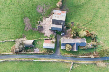
- Price
- Offers in Region of£745,000
- Size
- 22.24 acres
Bridge Flatts Farm, Winkhill, Leek, Waterhouses, Staffordshire ST13 England
Added on 21/02/2026Farmhouse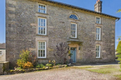
- Price
- Offers in Region of£795,000
- Size
- 1.2 acres
Calton Moor House, Ashbourne, Derbyshire, Waterhouses, Staffordshire DE6 England
Added on 02/06/2026Country Home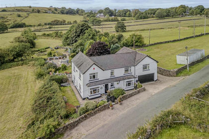
- Price
- Guide Price£850,000
- Size
- 3.5 acres
Cotton Lane, Cotton, Stoke-On-Trent, Cotton, Staffordshire ST10 England
Added on 28/01/2026House with Land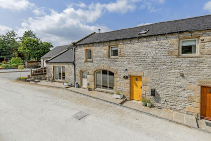
- Price
- Offers in Region of£550,000
Rakes Road, Monyash, Bakewell, Monyash, Derbyshire DE45 England
Added on 04/08/2026Barn Conversion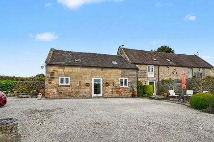
- Price
- Guide Price£600,000
- Size
- 2.34 acres
Chaff Lane, Stanton, DE6, Stanton, Staffordshire DE6 England
Added on 13/09/2026Barn Conversion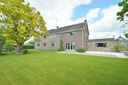
- Price
- Offers in Region of£650,000
- Size
- 0.53 acres
Troutsdale Farmhouse, Springbank Wood, Tittesworth, Tittesworth, Staffordshire ST13 England
Added on 12/05/2026Farmhouse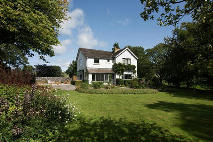
- Price
- Offers in Region of£875,000
- Size
- 1.1 acres
Earl Sterndale, Buxton, Hartington Middle Quarter, Derbyshire SK17 England
Added on 29/01/2026Residential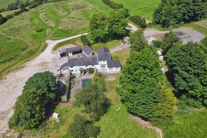
- Price
- £875,000
- Size
- 23.89 acres
Riddings Park Farm, Kniveton, Kniveton, Derbyshire DE6 England
Added on 12/08/2026House with Land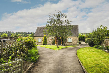
- Price
- Guide Price£775,000
- Size
- 6.59 acres
Added on 26/06/2026House with Land
- Price
- Offers in Region of£795,000
- Size
- 2 acres
Cliff Bank Cottage, Calwich, Ashbourne, Derbyshire, Mayfield, Staffordshire DE6 England
Added on 17/06/2026Cottage