Dol-Y-Gaer, Merthyr Tydfil, CF48
- Land size
- 3 acres
- Bedrooms
- 5
- Bathrooms
- 3
Key Features
- unique property with character features
- three bed converted chapel with two bed lodge
- glorious rural location
- countryside and reservoir views
- plenty of parking
- approx 3 acres of gardens and a paddock
- freehold
- currently a successful holiday let
- Chapel- three reception rooms, kitchen, three bedrooms, en-suite and shower room
- Lodge- living/dining room, kitchen, two bedrooms, shower room and toilet
Description
Location-
Nestled within the breathtaking Brecon Beacons National Park, this property enjoys a stunning elevated position overlooking the serene Pontsticill Reservoir. Surrounded by spectacular countryside, it offers a paradise for outdoor enthusiasts, with endless opportunities for hiking, mountain biking, horse riding and canoeing. Picturesque trails wind through the nearby Taf Fechan and Talybont forests, providing scenic walks right on your doorstep. Just two miles away, the charming village of Pontsticill boasts a strong sense of community and is home to two welcoming pubs. It also features a station for the beloved Brecon Mountain Railway, where a nostalgic steam train journey takes you from Pant to Torpantau. For a wider range of shops and amenities, the bustling town of Merthyr Tydfil is just seven miles away, offering everything you need within easy reach.
The Chapel-
Entering through the arched stained glass double doors, you are welcomed into the entrance porch, where a tiled floor, exposed stone walls and vaulted ceiling, set a tone of this unique and charming property. The dining room is a good size and comfortably accommodates a large dining table, perfect for hosting family meals. An arched door guides you into the kitchen which boasts ample cupboard space, integrated appliances including a fridge/freezer, oven and gas hob with plumbing in place for a dishwasher. A glazed door opens onto a paved patio, inviting alfresco dining and leisurely mornings. A convenient cloakroom with a store cupboard adds further functionality. Off the dining room, French doors open into the living room, where sunlight streams which features a charming wood-burning stove for cozy winter evenings. Completing the ground floor is a versatile second reception room, currently enjoyed as a games room, ideal for relaxing or entertaining guests. Upstairs a bright galleried landing with exposed beams leads to the three double bedrooms. The master suite is a standout, featuring arched windows that overlook the garden to the reservoir beyond, along with its own private en-suite shower room. An additional well-appointed shower room serves the remaining bedrooms.
Outside, there is a landscaped garden made up of lawn, a winding path, rockery area and pond. A dedicated paved patio area sets the stage for memorable alfresco dining and peaceful relaxation, all while enjoying picturesque views.
The Lodge-
Set slightly behind the Chapel, is the Lodge. On the ground floor there is an entrance hall and spacious living/dining room where a glazed front wall floods the room with natural light. The kitchen at the rear has base and wall units and an integrated oven and hob. Patio doors open onto a decked seating area. Completing the ground floor is a shower room. Upstairs there are two comfortable double bedrooms, the rear of which enjoys a Juliet balcony and views over the garden and paddock. There is also a WC.
Outside the garden comprises of a decked seating area with hot tub, chippings, rockery with herbaceous plants, a lawn and shrub and flower borders.
In total there is approximately 3 acres with a gated parking area at the front providing ample parking whilst behind the gardens there is a paddock. To the left hand side of the Lodge there is a useful storage room with utility area at the rear.
Services: Mains electricity and water. Private drainage. LP gas central heating. Please note we have not tested the appliances, central heating or services.
Current rateable value (1 April 2023 to present) £3,950
Map Location
Property details
- Tenure
- Freehold
- Council Tax Band
- G
- Date Posted
- 2026-02-19
Market Value Analysis
Compared with 1,032 Homes with Land listings in Wales (1+ acres).
Energy Performance Certificate
Energy Efficiency Rating
Based on UK Energy Performance Certificate standards (EU Directive 2002/91/EC)
Running costs are one side. Planning activity, flood history and ground risks for this location are in the full report.
Utilities & Restrictions
Utilities
- Electricity
- Ask Agent
- Water
- Private Supply
- Heating
- Gas Heating, Central Heating
- Broadband
- Ask Agent
- Sewerage
- Septic Tank / Private
Rights & Restrictions
- Public Rights of Way
- Ask Agent
- Private Rights of Way
- Ask Agent
- Listed Property
- Ask Agent
- Restrictions
- Ask Agent
Listed status, conservation areas and planning constraints for this location are in the full report.
Property Features
- Accessibility
- Ask Agent
- Parking
- Driveway, Gated Parking, Off-Street Parking, Private Parking
- Garden
- Garden
Beyond the particulars: planning activity, flood history, heritage and ground risks, checked for this exact spot.
Connectivity
Broadband
Fastest speed available at this postcode
4 Mbps
Under 10 Mbps here
Suitable for
- Basic browsing & email
Mobile signal
Predicted 4G and 5G signal; indoor signal depends on building materials.
Ofcom Connected Nations postcode-level predictions. Speeds and signal are modelled, not measured, and vary between addresses and providers.
Signal is the easy part. Planning activity, flood history and protected designations here are in the full report.
Nearest Schools
Primary
- Pantysgallog Primary School3.5 miles
- Pupils
- 412
- Type
- Nursery, Infants & Juniors
- Language
- English medium school / provision
- Gellifaelog Primary School4.1 miles
- Pupils
- 226
- Type
- Nursery, Infants & Juniors
- Language
- English medium school / provision
- Goetre Primary School4.1 miles
- Pupils
- 413
- Type
- Nursery, Infants & Juniors
- Language
- English medium school / provision
- Ysgol-Y-Graig4.2 miles
- Pupils
- 213
- Type
- Infants & Juniors
- Language
- English medium school / provision
- Dowlais Primary School4.2 miles
- Pupils
- 194
- Type
- Infants & Juniors
- Language
- English medium school / provision
Secondary
- Pen-Y-Dre High School3.7 miles
- Pupils
- 893
- Type
- Secondary (ages 11-16)
- Language
- English medium school / provision
- Blessed Carlo Acutis Catholic School4.4 miles
- Pupils
- 989
- Type
- Middle (ages 3-16)
- Language
- English medium school / provision
- Cyfarthfa High School5 miles
- Pupils
- 785
- Type
- Secondary (ages 11-16)
- Language
- English medium school / provision
- Tredegar Comprehensive School6.8 miles
- Pupils
- 746
- Type
- Secondary (ages 11-16)
- Language
- English medium school / provision
- Idris Davies School 3 to 186.9 miles
- Pupils
- 812
- Type
- Middle (ages 3-19)
- Language
- English medium school / provision
Distances are straight-line from the advertised location. Source: the national school registers (DfE, Welsh Government, Scottish Government) and Ofsted.
Schools are just the start: sold prices nearby, planning activity and any flood history are in the full report.
Amenities
Supermarket
GP surgery
Pharmacy
Straight-line distances from the advertised location. Sources: NHS records, Geolytix supermarket locations, OS Open Greenspace and the national trails registers.
The area stacks up? Now check the location itself: planning nearby, protected designations and past flooding.
Getting Around
Nearest station
Nearest bus stop
Typical drive times
Straight-line distances from the advertised location; drive times are typical free-flow times over OpenStreetMap road data, so allow more at peak. Public transport locations from DfT NaPTAN.
Easy to reach matters. So do planning activity, flood history and ground risks: all in the full report.
Flood Risk
Natural Resources Wales open data, checked around the advertised map pin for the listed acreage. Long-term risk counts flood defences; the planning map's flood zones do not. Provided by LandSale, not the listing agent, and not part of the agent's particulars. Risk varies across a holding, so verify before committing.
Rivers and the sea
Planning map: Flood Zone 1.
Surface water
Not at the pin: mapped about 10 metres away.
These bandings are the summary. Where this location sits on the flood maps, plus planning activity, heritage and ground risks, is in the full report.
Important notice: Information, maps and tags on this page are drawn from the advertising agent's marketing materials or generated automatically. LandSale has not verified them. Relying on these details is at your own risk, always carry out independent checks before committing to a purchase.
LandSale full disclaimer
Marketing information only - not formal particulars. The details on this website are provided for general guidance and do not constitute an offer or contract. Neither LandSale nor the advertising estate/land agent accepts responsibility for any inaccuracy.
1. Source of information
- Listing content: Core description, asking price, tenure, measurements, photographs and planning history originate from the marketing materials of the advertising estate or land agent. LandSale does not author this content and cannot guarantee its accuracy.
- Automated tags & categorisation: Property type, land-use class, acreage bands and similar labels may be applied by machine-learning models. They are intended as a helpful guide only and may not reflect the property's legal status or permitted use.
- Third-party & enriched data layers: Maps, boundary outlines, planning designations, soil reports, broadband coverage and other environmental or location-based insights are licensed from external suppliers. Such data are supplied “as is", may be incomplete or out of date and are subject to change without notice.
2. Verification required
Prospective purchasers must verify critical matters, including but not limited to planning permission, title boundaries, public rights of way, environmental constraints, acreage, services, access and VAT status, through their own inspections, specialist surveys, legal advisers and the selling agent before relying on the information or entering into any contract.
3. No warranty or liability
LandSale gives no warranty, express or implied, as to the accuracy, completeness or fitness for any particular purpose of the information displayed. LandSale shall not be liable for any loss, damage, cost or expense arising directly or indirectly from any use of or reliance on such information, save where liability may not be excluded by law.
4. Updates & feedback
If you believe any detail on this listing is inaccurate, please let us know. We will investigate and, where appropriate, update the listing or notify the agent.
© LandSale | Version 1.3 - August 2026
Similar properties for sale
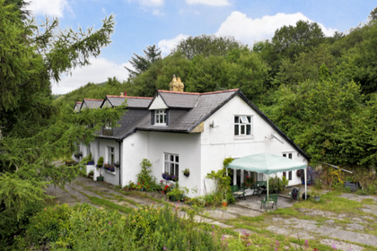
- Price
- Offers in Region of£799,999
- Size
- 5 acres
Pleasant View, Pontsticill, Merthyr Tydfil, Vaynor, Merthyr Tydfil CF48 Wales
Added on 29/01/2026Cottage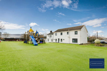
- Price
- £615,000
- Size
- 1 acres
Mountain Hare, Merthyr Tydfil, CF47, Town, Merthyr Tydfil CF47 Wales
Added on 30/09/2026House with Land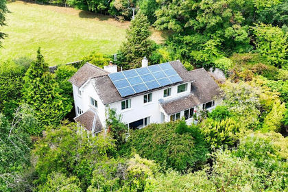
- Price
- £695,000
- Size
- 2 acres
Talybont-on-usk, Brecon, Powys., Talybont-on-Usk, Powys LD3 Wales
Added on 27/03/2026House with Land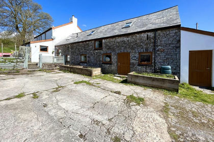
- Price
- £575,000
- Size
- 4 acres
Ty Mawr, Ystradfellte, Aberdare, Mid Glamorgan, Ystradfellte, Powys CF44 Wales
Added on 29/01/2026Barn Conversion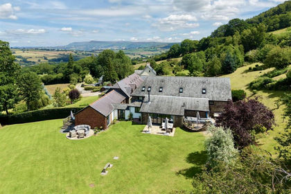
- Price
- Guide Price£825,000
- Size
- 1.4 acres
Added on 09/07/2026Barn Conversion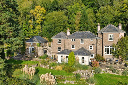
- Price
- £700,000
- Size
- 2.2 acres
Added on 21/05/2026Country Home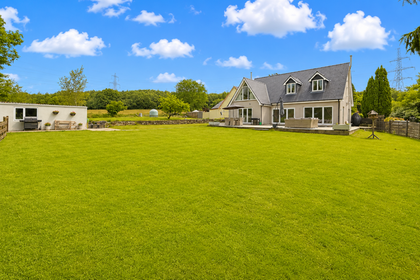
- Price
- £575,000
- Size
- 2 acres
Added on 14/07/2026House with Land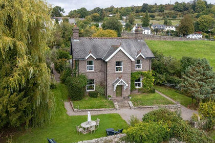
- Price
- £825,000
- Size
- 1.03 acres
Old Road, Bwlch, Brecon, LD3, Cwmdu and District, Powys LD3 Wales
Added on 29/01/2026House with Land
- Price
- £695,000
- Size
- 17 acres
Added on 29/01/2026Equestrian property
- Price
- £625,000
- Size
- 4 acres
Ty Mawr Farm, Hirwaun, Aberdare, Hirwaun, Rhondda Cynon Taf CF44 Wales
Added on 12/05/2026House with Land