Church Street, Hilperton, Trowbridge, Wiltshire, BA14
- Land size
- 0.33 acres
- Bedrooms
- 7
- Bathrooms
- 4
Key Features
- Three large reception rooms
- Seven double bedrooms & three en-suite'
- Family bathroom and cloakroom
- Large kitchen / dining room
- Re-wired CAT 6a Network
- New plumbing & underfloor heating
- Refurbished roof & restored stonework
- Bespoke aluminium windows
- Fabulous entrance hall and staircase
- Outbuilding with potential (S.T.P.P)
Description
Nestled in the heart of Hilperton's conservation area, just over a mile from Trowbridge town centre, Church Farm House is a striking period home with origins believed to predate the early 1800s. Once part of a working farm, this handsome stone property has been meticulously renovated, blending its historic charm with modern living standards.
Set behind its handsome stone façade, complete with mullioned windows and traditional "eyebrow" arches, the home offers spacious and flexible accommodation ideal for family life or multi-generational living.
Accommodation
Inside, an open-plan kitchen forms the heart of the home, flooded with natural light and opening to the garden via French doors. Reception rooms feature original stone details, exposed beams, two open fireplaces with newly fitted flues and a log burner. Throughout, the property has been completely rewired, replumbed, and upgraded with modern insulation, underfloor heating in key areas, and CAT-6 cabling for high-speed connectivity.
The cleverly designed layout incorporates a self-contained annex/barn conversion with disabled-friendly access, a bedroom and en-suite on each floor, and its own services; perfect for guests, extended family, or potential rental income once finished.
Upstairs in the main house, the principal bedroom benefits from its own en-suite, with further double bedrooms served by a family bathroom that you can make your own.
Renovation Highlights
- Full structural restoration, including refurbished roof, insulation, and stonework repairs by skilled stonemasons
- Brand new heritage-style aluminium windows and doors
- Rebuilt barn/annex with raft foundation, waterproof tanking system (15-year guarantee) and reclaimed stonework
- Modern drainage and heating systems with zoned controls
- Landscaped gardens with future-proofed services for stables & electric gates.
External Grounds
Set within a substantial and perfectly level corner plot of approximately one-third of an acre, this property offers both presence and potential in equal measure. The grounds have been carefully prepared, providing a blank canvas for bespoke landscaping, while a robust hard-core driveway to the rear accommodates parking for several vehicles with ease.
A series of charming outbuildings, already connected to electricity and water, open the door to an array of possibilities, be it a stylish garage, elegant garden rooms, or the creation of an additional residence (subject to the necessary consents). The entire plot is gracefully enclosed by handsome stone walling, lending a sense of privacy and timeless character. From the front, a flight of stone steps descends towards the historic charm of Church Street, perfectly blending convenience with a distinguished setting.
In Summary
Church Farm House will be sold as seen, providing a rare opportunity to own a beautifully restored period home that offers history, craftsmanship, and modern comfort in equal measure.
With most of the hard work completed, versatile accommodation and a large garden, it is ready for a buyer to make their own.
Tucked quietly on the edge of Trowbridge, Hilperton Village feels like the kind of place you stumble upon and instantly fall in love with. It's a place where neighbours smile and wave, where children walk safely to the much-loved village primary school, and where the pace of life feels just that little bit gentler.
Wander through the lanes and you'll soon find yourself beside the tranquil waters of the Kennet & Avon Canal. Here, time seems to slow, narrowboats drift by, swans glide effortlessly, and the towpath invites you to walk, cycle, or simply sit and soak up the views. It's a favourite spot for Sunday strolls, dog walks, and peaceful moments at the water's edge.
Despite its rural charm, Hilperton is wonderfully connected. Within minutes you can be in Trowbridge, with its shops, cafés, and train links to Bath, Bristol, and London. And yet, back in the village, you're surrounded by fields, open skies, and that timeless countryside calm.
Whether you're drawn by the community spirit, the beauty of the canal, or the perfect blend of countryside and convenience, Hilperton is the kind of village that welcomes you in, and makes you never want to leave.
Tenure: Freehold
Local Authority: Wiltshire Council
Council Tax Band: F
EPC Rating: D
All mains services connected. Gas central heating.
Map Location
Property details
- Tenure
- Freehold
- Council Tax Band
- F
- Date Posted
- 2026-01-29
Energy Performance Certificate
Energy Efficiency Rating
Based on UK Energy Performance Certificate standards (EU Directive 2002/91/EC)
View official EPC certificate ↗
Running costs are one side. Planning activity, flood history and ground risks for this location are in the full report.
Utilities & Restrictions
Utilities
- Electricity
- Ask Agent
- Water
- Ask Agent
- Heating
- Ask Agent
- Broadband
- Ask Agent
- Sewerage
- Ask Agent
Rights & Restrictions
- Public Rights of Way
- Ask Agent
- Private Rights of Way
- Ask Agent
- Listed Property
- Ask Agent
- Restrictions
- Ask Agent
Listed status, conservation areas and planning constraints for this location are in the full report.
Property Features
- Accessibility
- Ask Agent
- Parking
- Parking Available
- Garden
- Garden
Beyond the particulars: planning activity, flood history, heritage and ground risks, checked for this exact spot.
Connectivity
Broadband
Fastest speed available at this postcode
1.8 Gbps
Gigabit full fibre
Suitable for
- 4K streaming on every screen
- Full-time home working
- Online gaming & big downloads
Mobile signal
Outdoor predictions; indoor signal depends on building materials.
Ofcom Connected Nations postcode-level predictions. Speeds and signal are modelled, not measured, and vary between addresses and providers.
Signal is the easy part. Planning activity, flood history and protected designations here are in the full report.
Nearest Schools
Primary
- Hilperton Church of England Voluntary Controlled Primary School337 metresNo Ofsted rating
- Ages
- 4 to 11
- Pupils
- 130
- Type
- Voluntary controlled school
- Faith
- Church of England
- The Mead Community Primary School781 metresOfsted: Good
- Ages
- 2 to 11
- Pupils
- 489
- Type
- Academy converter
- Bellefield Primary and Nursery School0.7 milesOfsted: Good
- Ages
- 3 to 11
- Pupils
- 317
- Type
- Academy converter
- Faith
- Church of England
- Paxcroft Primary School0.8 milesNo Ofsted rating
- Ages
- 4 to 11
- Pupils
- 276
- Type
- Academy converter
- Castle Mead School1.1 milesOfsted: Good
- Ages
- 2 to 11
- Pupils
- 357
- Type
- Academy sponsor led
Secondary
- St Augustine's Catholic College1.8 milesOfsted: Good
- Ages
- 11 to 18
- Pupils
- 912
- Type
- Academy converter
- Faith
- Roman Catholic
- The John of Gaunt School1.9 milesNo Ofsted rating
- Ages
- 11 to 18
- Pupils
- 1,295
- Type
- Academy converter
- The Clarendon Academy2 milesNo Ofsted rating
- Ages
- 11 to 18
- Pupils
- 1,082
- Type
- Academy sponsor led
- Melksham Oak Community School3.5 milesOfsted: Good
- Ages
- 11 to 18
- Pupils
- 1,058
- Type
- Academy converter
- St Laurence School3.5 milesNo Ofsted rating
- Ages
- 11 to 18
- Pupils
- 1,378
- Type
- Academy converter
- Faith
- Church of England/Christian
Distances are straight-line from the advertised location. Source: the national school registers (DfE, Welsh Government, Scottish Government) and Ofsted.
Schools are just the start: sold prices nearby, planning activity and any flood history are in the full report.
Amenities
Supermarket
GP surgery
Pharmacy
Hospital
Green space
Straight-line distances from the advertised location. Sources: NHS records, Geolytix supermarket locations, OS Open Greenspace and the national trails registers.
The area stacks up? Now check the location itself: planning nearby, protected designations and past flooding.
Getting Around
Nearest station
Nearest bus stop
Typical drive times
Straight-line distances from the advertised location; drive times are typical free-flow times over OpenStreetMap road data, so allow more at peak. Public transport locations from DfT NaPTAN.
Easy to reach matters. So do planning activity, flood history and ground risks: all in the full report.
Flood Risk
From Environment Agency flood map open data, checked around the advertised map pin and allowing for the listed acreage where known. This summary comes from LandSale, the advertising platform, not from the listing agent, and is not part of the agent's particulars. Risk can vary across a single holding, so verify anything critical through your own searches before committing.
Rivers and the sea
Surface water
These bandings are the summary. Where this location sits on the flood maps, plus planning activity, heritage and ground risks, is in the full report.
Important notice: Information, maps and tags on this page are drawn from the advertising agent's marketing materials or generated automatically. LandSale has not verified them. Relying on these details is at your own risk, always carry out independent checks before committing to a purchase.
LandSale full disclaimer
Marketing information only - not formal particulars. The details on this website are provided for general guidance and do not constitute an offer or contract. Neither LandSale nor the advertising estate/land agent accepts responsibility for any inaccuracy.
1. Source of information
- Listing content: Core description, asking price, tenure, measurements, photographs and planning history originate from the marketing materials of the advertising estate or land agent. LandSale does not author this content and cannot guarantee its accuracy.
- Automated tags & categorisation: Property type, land-use class, acreage bands and similar labels may be applied by machine-learning models. They are intended as a helpful guide only and may not reflect the property's legal status or permitted use.
- Third-party & enriched data layers: Maps, boundary outlines, planning designations, soil reports, broadband coverage and other environmental or location-based insights are licensed from external suppliers. Such data are supplied “as is", may be incomplete or out of date and are subject to change without notice.
2. Verification required
Prospective purchasers must verify critical matters, including but not limited to planning permission, title boundaries, public rights of way, environmental constraints, acreage, services, access and VAT status, through their own inspections, specialist surveys, legal advisers and the selling agent before relying on the information or entering into any contract.
3. No warranty or liability
LandSale gives no warranty, express or implied, as to the accuracy, completeness or fitness for any particular purpose of the information displayed. LandSale shall not be liable for any loss, damage, cost or expense arising directly or indirectly from any use of or reliance on such information, save where liability may not be excluded by law.
4. Updates & feedback
If you believe any detail on this listing is inaccurate, please let us know. We will investigate and, where appropriate, update the listing or notify the agent.
© LandSale | Version 1.3 - August 2026
Listing agent
Appleby & Townend Estate Agents, Wiltshire
4D Broad Lane Farm, Seend Wiltshire, SN12 6RJ
Contact Appleby & Townend Estate Agents, Wiltshire
4D Broad Lane Farm, Seend Wiltshire, SN12 6RJ
View agent profileSimilar properties for sale
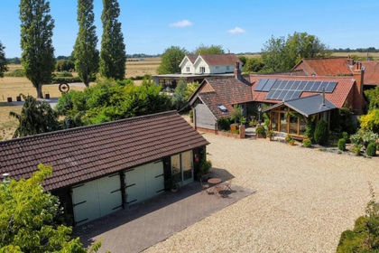
- Price
- Offers in Excess of£1,000,000
- Size
- 1 acres
Steeple Ashton, Trowbridge, Steeple Ashton, Wiltshire BA14 England
Added on 12/07/2026Barn Conversion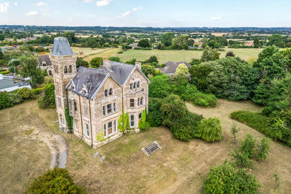
- Price
- Offers in Excess of£1,000,000
- Size
- 1.75 acres
Chapel Knapp, Corsham, SN13, Corsham, Wiltshire SN13 England
Added on 29/01/2026Estate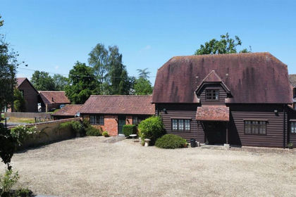
- Price
- Guide Price£850,000
- Size
- 5.41 acres
Close Lane, Marston, Devizes, Marston, Wiltshire SN10 England
Added on 20/05/2026Barn Conversion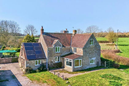
- Price
- Guide Price£850,000
- Size
- 10 acres
Standerwick, Standerwick, Frome, BA11, Berkley, Somerset BA11 England
Added on 05/08/2026Farmhouse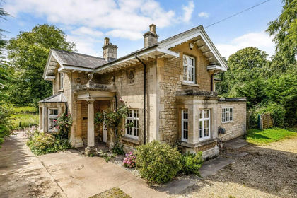
- Price
- Guide Price£795,000
- Size
- 1.02 acres
Cross Keys, Corsham, Wiltshire, SN13, Corsham, Wiltshire SN13 England
Added on 24/06/2026House with Land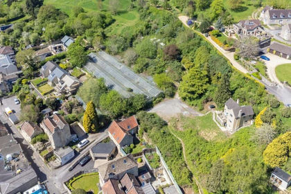
- Price
- Offers in Excess of£995,000
- Size
- 1.6 acres
7 The Batch, Batheaston, Bath, BA1, Batheaston, Bath and North East Somerset BA1 England
Added on 03/07/2026Development Land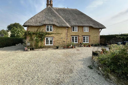
- Price
- Offers in Excess of£795,000
Sandy Lane, Chippenham, Derry Hill & Studley, Wiltshire SN15 England
Added on 14/05/2026Cottage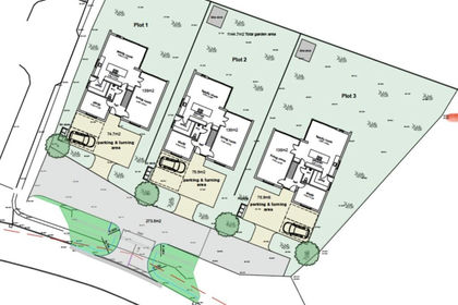
- Price
- Guide Price£1,000,000
Gypsy Lane, Frome, Somerset, BA11, Berkley, Somerset BA11 England
Added on 06/06/2026Development Land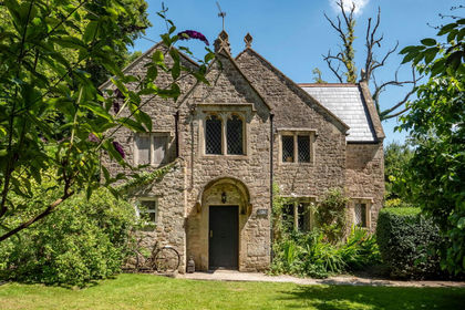
- Price
- Guide Price£650,000
- Size
- 2 acres
Added on 29/01/2026Country Home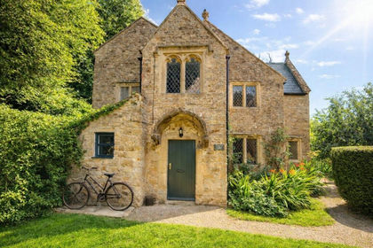
- Price
- Guide Price£650,000
- Size
- 2 acres
Murtry, Orchardleigh, Frome, BA11, Selwood, Somerset BA11 England
Added on 28/01/2026House with Land