
Belchamp St. Paul, Sudbury, Suffolk
- Land size
- 0.85 acres
- Bedrooms
- 4
- Bathrooms
- 2
Key Features
- Grade II Listed character property
- Renewed thatch in 2025
- Character features
- Aga, exposed brickwork and timbers
- Countryside views
- Studio, sauna with shower
- Stables
- Generous gardens
- In all about .85 acres
Description
There are some houses that make you want to stay a little longer. Dragon Tye is one of them. Set amongst the rolling countryside of the Suffolk-Essex border, this beautiful unusually light medieval Hall House has the sort of presence that is difficult to recreate. Its pretty pink exterior, deep thatched roof and old timber frame feel completely at home in the landscape, and from the moment you arrive there is an immediate sense that this is somewhere rather special. It is also a house that has been exceptionally well looked after. The thatch as completely renewed in 2025 and the whole house has recently been painted both inside and out, while years of careful work and thoughtful improvements mean there is very little left to do. The character has been preserved, but the house has been quietly brought up to date, making it possible to simply move in and enjoy it. Inside, the old features are everywhere. Exposed timbers, traditional fireplaces, uneven walls, and the little imperfections that come with a house of this age have all been retained. The kitchen is particularly lovely, with its Aga, exposed brickwork, timber cabinetry, and farmhouse feel. The sitting room has the same warmth. there are great old beams overhead, an open fireplace and views out across the garden and surrounding countryside. It is a house that lends itself to country life muddy boots by the door, logs stacked ready for winter and long evenings around the kitchen table. Set within the grounds is a separate pottery/art studio, offering a wonderful opportunity to indulge in a hobby, work from home or simply have somewhere to escape to as a creative retreat. The garden, in all about 0.85 of an acre, feels very much part of the wider landscape. Mature planting, established trees and open views create a lovely sense of space, while beyond the garden the countryside stretches away across fields and hedgerows. This is perhaps the real attraction of Dragon Tye. Life here feels a little slower. There is space to grow vegetables, make things, walk straight out into the countryside, or simply spend an afternoon doing very little. The studio, sauna, stables, garden and house all work together to create somewhere that is as much about how you live as it is about the building itself. And despite all of that character, there is no long list of jobs waiting for the next owner. The house has been meticulously cared for, the thatch has been renewed, the interiors refreshed and the important work done. What remains is the enjoyable part: filling it with your own furniture, books, pictures, and memories.
PROPERTY INFORMATION - 4 Bedrooms.
- Reception Rooms: 3.
- Bathrooms: 2.
- Off-road parking for multiple vehicles.
- Studio, sauna/shower, stables. Generous gardens in all about 0.85 acres.
- Services: Mains water, electricity. Oil-fired Heating. Septic tank. Private well.
- Communication Services: Broadband. Yes. Speed up to 1000 mpbs download and 1000 mpbs upload. Telephone Signal: Yes.
NOTE: David Burr make no guarantees or representations as to the existence or quality of any services supplied by third parties. Speeds and services may vary and any information pertaining to such is indicative only and may be subject to change. Purchasers should satisfy themselves on any matters relating to internet or
- Council Tax: Band F. £3200.60 per annum.
- Local Authority: Braintree District Council.
VIEWING: Strictly by prior appointment only through DAVID BURR.
NOTICE: Whilst every effort has been made to ensure the accuracy of these sales details, they are for guidance purposes only and prospective purchasers or lessees are advised to seek their own professional advice as well as to satisfy themselves by inspection or otherwise as to their correctness. No representation or warranty whatsoever is made in relation to this property by David Burr or its employees nor do such sales details form part of any offer or contract.
ABOUT THE AREA Belchamp St Paul is a sought after village clustered around a picturesque green amidst open, undulating countryside. Village facilities include a very popular primary school a traditional public house with county-wide reputations for its food, a fine slate village hall and a parish church.
USEFUL INFORMATION Towns and Villages
Bury St Edmunds (20 miles)
Cambridge (28 miles)
Newmarket (19 miles)
Sudbury (7 miles)
Clare (2 miles)
Pubs and Restaurants
The Weeping Willow, Bury St Edmunds
The Crown, Hartest
The Queen's Head, Hawkedon
The Half Moon Inn, Belchamp St. Paul
Schooling
Barnardiston Hall Preparatory School (8 miles)
Culford School (22 miles)
The Perse School (28 miles)
Train Stations
Audley End (17 miles)
Cambridge (17 miles)
Bury St Edmunds (17 miles)
Sudbury (9 miles)
Map Location
Property details
- Tenure
- Freehold
- Council Tax Band
- F
- Date Posted
- 2026-11-16
Utilities & Restrictions
Utilities
- Electricity
- Mains
- Water
- Mains
- Heating
- Oil Heating
- Broadband
- Standard Copper (ADSL)
- Sewerage
- Septic Tank / Private
Rights & Restrictions
- Public Rights of Way
- Ask Agent
- Private Rights of Way
- Ask Agent
- Listed Property
- Ask Agent
- Restrictions
- Ask Agent
Listed status, conservation areas and planning constraints for this location are in the full report.
Property Features
- Accessibility
- Ask Agent
- Parking
- Off-Street Parking
- Garden
- Garden
Beyond the particulars: planning activity, flood history, heritage and ground risks, checked for this exact spot.
Connectivity
Broadband
Fastest speed available at this postcode
1 Gbps
Gigabit full fibre
Suitable for
- 4K streaming on every screen
- Full-time home working
- Online gaming & big downloads
Mobile signal
Predicted 4G and 5G signal; indoor signal depends on building materials.
Ofcom Connected Nations postcode-level predictions. Speeds and signal are modelled, not measured, and vary between addresses and providers.
Signal is the easy part. Planning activity, flood history and protected designations here are in the full report.
Nearest Schools
Primary
- Belchamp St Paul Church of England Primary School0.7 milesOfsted: Good
- Ages
- 4 to 11
- Pupils
- 46
- Type
- Academy converter
- Faith
- Church of England
- Cavendish Church of England Primary School2 milesOfsted: Inadequate
- Ages
- 4 to 11
- Pupils
- 52
- Type
- Academy sponsor led
- Faith
- Church of England
- Clare Community Primary School2.4 milesOfsted: Good
- Ages
- 4 to 11
- Pupils
- 199
- Type
- Academy sponsor led
- Glemsford Primary Academy3.6 milesNo Ofsted rating
- Ages
- 2 to 11
- Pupils
- 243
- Type
- Academy sponsor led
- St Andrew's Church of England Primary School, Great Yeldham3.8 milesOfsted: Good
- Ages
- 4 to 11
- Pupils
- 139
- Type
- Academy converter
- Faith
- Church of England
Secondary
- Stour Valley Community School2 milesOfsted: Good
- Ages
- 11 to 16
- Pupils
- 569
- Type
- Free schools
- Ormiston Sudbury Academy4.8 milesOfsted report card · Feb 2026
- Ages
- 11 to 19
- Pupils
- 710
- Type
- Academy sponsor led
- Hedingham School and Sixth Form5.3 milesNo Ofsted rating
- Ages
- 11 to 18
- Pupils
- 1,177
- Type
- Academy converter
- Thomas Gainsborough School6.1 milesOfsted: Good *
- Ages
- 11 to 18
- Pupils
- 1,603
- Type
- Academy converter
- Samuel Ward Academy7.7 milesOfsted: Good
- Ages
- 11 to 18
- Pupils
- 1,076
- Type
- Academy converter
* Latest graded judgement covers quality of education only; no overall grade was issued under the 2024-25 inspection framework.
Distances are straight-line from the advertised location. Source: the national school registers (DfE, Welsh Government, Scottish Government) and Ofsted.
Schools are just the start: sold prices nearby, planning activity and any flood history are in the full report.
Amenities
Supermarket
GP surgery
Pharmacy
Hospital
Straight-line distances from the advertised location. Sources: NHS records, Geolytix supermarket locations, OS Open Greenspace and the national trails registers.
The area stacks up? Now check the location itself: planning nearby, protected designations and past flooding.
Getting Around
Nearest station
Nearest bus stop
Typical drive times
Straight-line distances from the advertised location; drive times are typical free-flow times over OpenStreetMap road data, so allow more at peak. Public transport locations from DfT NaPTAN.
Easy to reach matters. So do planning activity, flood history and ground risks: all in the full report.
Flood Risk
Environment Agency open data, checked around the advertised map pin for the listed acreage. Long-term risk counts flood defences; the planning map's flood zones do not. Provided by LandSale, not the listing agent, and not part of the agent's particulars. Risk varies across a holding, so verify before committing.
Rivers and the sea
Planning map: Flood Zone 1.
Surface water
Not at the pin: mapped about 10 metres away.
These bandings are the summary. Where this location sits on the flood maps, plus planning activity, heritage and ground risks, is in the full report.
Important notice: Information, maps and tags on this page are drawn from the advertising agent's marketing materials or generated automatically. LandSale has not verified them. Relying on these details is at your own risk, always carry out independent checks before committing to a purchase.
LandSale full disclaimer
Marketing information only - not formal particulars. The details on this website are provided for general guidance and do not constitute an offer or contract. Neither LandSale nor the advertising estate/land agent accepts responsibility for any inaccuracy.
1. Source of information
- Listing content: Core description, asking price, tenure, measurements, photographs and planning history originate from the marketing materials of the advertising estate or land agent. LandSale does not author this content and cannot guarantee its accuracy.
- Automated tags & categorisation: Property type, land-use class, acreage bands and similar labels may be applied by machine-learning models. They are intended as a helpful guide only and may not reflect the property's legal status or permitted use.
- Third-party & enriched data layers: Maps, boundary outlines, planning designations, soil reports, broadband coverage and other environmental or location-based insights are licensed from external suppliers. Such data are supplied “as is", may be incomplete or out of date and are subject to change without notice.
2. Verification required
Prospective purchasers must verify critical matters, including but not limited to planning permission, title boundaries, public rights of way, environmental constraints, acreage, services, access and VAT status, through their own inspections, specialist surveys, legal advisers and the selling agent before relying on the information or entering into any contract.
3. No warranty or liability
LandSale gives no warranty, express or implied, as to the accuracy, completeness or fitness for any particular purpose of the information displayed. LandSale shall not be liable for any loss, damage, cost or expense arising directly or indirectly from any use of or reliance on such information, save where liability may not be excluded by law.
4. Updates & feedback
If you believe any detail on this listing is inaccurate, please let us know. We will investigate and, where appropriate, update the listing or notify the agent.
© LandSale | Version 1.3 - August 2026
Similar properties for sale
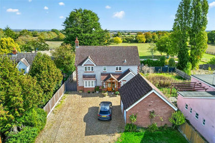
- Price
- £775,000
- Size
- 1.5 acres
Pinkuah Lane, Pentlow, Sudbury, Essex, CO10, Pentlow, Essex CO10 England
Added on 06/10/2026House with Land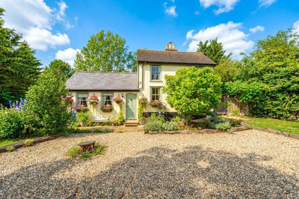
- Price
- Guide Price£625,000
- Size
- 0.5 acres
Yeldham Road, Castle Hedingham, Halstead, Castle Hedingham, Essex CO9 England
Added on 16/11/2026Farmhouse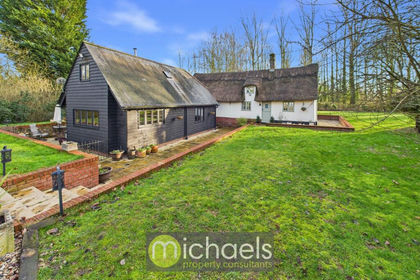
- Price
- Guide Price£650,000
- Size
- 0.67 acres
The Green, Twinstead, Sudbury, CO10, Twinstead, Essex CO10 England
Added on 16/11/2026Cottage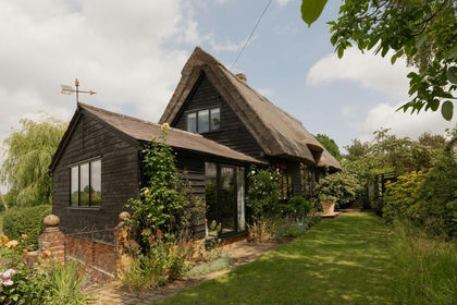
- Price
- £795,000
- Size
- 0.33 acres
Hampers Barn, Little Maplestead, Little Maplestead, Essex CO9 England
Added on 09/07/2026Barn Conversion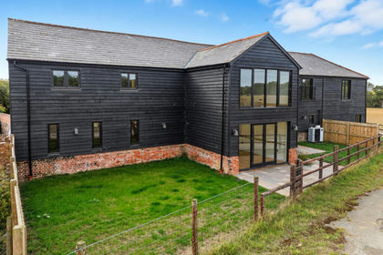
- Price
- Guide Price£700,000
Bakers Farm Lane, Blackmore End, CM7, Wethersfield, Essex CM7 England
Added on 24/08/2026Barn Conversion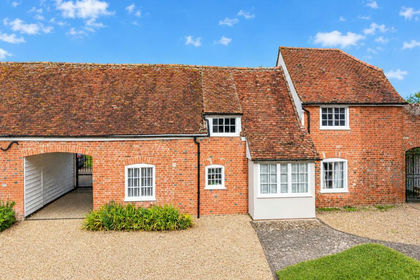 Added on 02/10/2026Barn Conversion
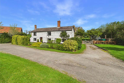
- Price
- Offers in Excess of£650,000
- Size
- 0.8 acres
Whepstead Road, Hawstead, Bury St. Edmunds, Suffolk, IP29, Hawstead, Suffolk IP29 England
Added on 16/11/2026Farmhouse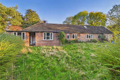
- Price
- Offers in Excess of£550,000
- Size
- 5 acres
Roundmaple, Edwardstone, Sudbury, Suffolk, CO10, Groton, Suffolk CO10 England
Added on 30/10/2026House with Land
- Price
- Guide Price£575,000
- Size
- 0.21 acres
Barn One, Pound Farm Barns, Milden, Milden, Suffolk IP7 England
Added on 22/10/2026Barn Conversion
- Price
- Guide Price£750,000
- Size
- 14.1 acres
Development Opportunity at Tye Farm, Monks Eleigh, Suffolk, Monks Eleigh, Suffolk IP7 England
Added on 19/10/2026Development Land