East Knighton, Wareham, Dorset
- Land size
- 0.33 acres
- Bedrooms
- 3
- Bathrooms
- 2
Key Features
- Delightful Grade II listed cottage
- Large, stunning gardens approx. 1/3-of-an-acre (STSM)
- Off-street parking
- Beautiful original features
- Superfast broadband
- Wool Station (with direct trains to London) 2.4miles
- Cafe across the road and a pub close by
- Amenities of Winfrith Newburgh less than a mile
Description
This delightful detached, Grade II listed, thatched cottage, which we believe is late 18th century, exudes character and from the moment you step inside you can feel its charm welcoming you in. Full of original features including exposed beams, timber floors and original inglenook fireplace. The garden is an absolute joy, with a plot of just under a third of an acre, it bursts with interest wherever you turn and has wonderful views across the fields.
From the entrance VESTIBULE there is a W.C., to your right, before stepping into the cottage KITCHEN. A charming room with a vaulted beamed ceiling, a range of base, wall and drawer units, integrated oven/grill and induction hob, ceramic sink with waste disposal, water softener, drainer and mixer tap, dishwasher and fridge. The kitchen leads through into the SITTING/DINING ROOM, a pretty, light space with a lovely cosy 'cottage' feel to it. Your eye is immediately drawn to the large inglenook at the end of the room with its new, wood burner style electric fire and bread oven nook. This is a lovely social space, the real heart of the home, with plenty of space for sofas, chairs and a dining table. A door leads out to the front and a further door leads out to the first of two extensions. The GARDEN ROOM is a practical space for boots and shoes with doors out to the garden and it also flows through to the two downstairs bedrooms and bathroom. This area of the house is ideal for guests or working from home, as it is just tucked away from the main living space of the cottage. BEDROOM 2 at the front of the house is a double room with a built-in wardrobe. BEDROOM 3 is currently used as a home office, a lovely room overlooking the garden and ideal to either work from home or use an occasional guest bedroom. Next door the large and bright family BATHROOM has a corner bath, plus a separate shower, W.C., and hand basin.
Back through to the original part of the cottage stairs from the corner of the sitting room rise to the first floor where the PRINCIPAL BEDROOM and second BATHROOM are located. At the top of the house, this is your own tranquil, romantic space, away from the rest of the bedroom accommodation. A pretty landing area with a window leads to the bedroom, which is a good size double, bright and with two windows. Next door the bathroom is essentially an ensuite to the principal bedroom, and has a bath with shower over, W.C., handbasin and space for storage.
NB: the thatched roof was re-thatched in 2010 and the ridge was re-done in 2018.
Outside
The GARDENS at Hillside Cottage are truly special and have been our owner’s absolute passion. It is just packed with interesting plants, shrubs, flowers and trees which provide interest all year round. The gardens wrap round the cottage on all sides, and the planting is cleverly designed to take you on a meandering journey, allowing you to enjoy the sheer variety of the planting, the raised Purbeck flower beds, fruit and blossom trees and the raised vegetable beds to the rear. From here the views across the fields are beautiful and forever changing with the seasons. As well as beautiful, the gardens are practical with a large SUMMER HOUSE/STORAGE SHED, an insulated outbuilding housing a UTILITY ROOM and a gardener’s W.C., plumbing for washing machine and tumble drier plus spaces for fridge, freezer and storage cupboards. Side access through a 5-bar wooden gate allows for further parking. Currently there is an old outbuilding/garage in place and there is scope and space to erect a new garage here. There is also parking to the front for at least two vehicles.
Location
East Knighton is a delightful hamlet that lies almost equidistant between the towns of Dorchester and Wareham. There is a public house and a café within walking distance of the cottage. Set close to the Isle of Purbeck, its unique beauty is reflected in its status as a designated Area of Outstanding Natural Beauty. The hamlet itself sits adjacent to the village of Winfrith Newburgh which enjoys amenities including a convenience store with Post Office, public house, church, pre-school and primary school, as well as an active village hall. It is also close to Lulworth Cove, a natural horseshoe shaped harbour forming part of the Jurassic Coast World Heritage Site, Durdle Door and easy driving distance of Corfe Castle, Swanage Bay and Studland Beaches. Ringstead and Weymouth beaches to the West, are close by. Wool station with direct trains to London Waterloo is just 2.4 miles away.
Directions
Use what3words.com to accurately navigate to the exact spot. Search using these three words: adjust.respond.bookshelf
Map Location
Property details
- Tenure
- Freehold
- Council Tax Band
- E
- Date Posted
- 2026-11-16
Utilities & Restrictions
Utilities
- Electricity
- Ask Agent
- Water
- Ask Agent
- Heating
- Ask Agent
- Broadband
- Ask Agent
- Sewerage
- Ask Agent
Rights & Restrictions
- Public Rights of Way
- Ask Agent
- Private Rights of Way
- Ask Agent
- Listed Property
- Ask Agent
- Restrictions
- Ask Agent
Listed status, conservation areas and planning constraints for this location are in the full report.
Property Features
- Accessibility
- Ask Agent
- Parking
- Parking Available
- Garden
- Garden
Beyond the particulars: planning activity, flood history, heritage and ground risks, checked for this exact spot.
Connectivity
Broadband
Fastest speed available at this postcode
75 Mbps
Superfast
Suitable for
- HD streaming
- Video calls
- Web & social
Mobile signal
Predicted 4G and 5G signal; indoor signal depends on building materials.
Ofcom Connected Nations postcode-level predictions. Speeds and signal are modelled, not measured, and vary between addresses and providers.
Signal is the easy part. Planning activity, flood history and protected designations here are in the full report.
Nearest Schools
Primary
- St Mary & St Joseph's Catholic Primary School2 milesOfsted: Requires improvement
- Ages
- 4 to 11
- Pupils
- 81
- Type
- Academy converter
- Faith
- Roman Catholic
- Wool Church of England Primary School2.2 milesOfsted: Good
- Ages
- 2 to 11
- Pupils
- 116
- Type
- Academy sponsor led
- Faith
- Church of England
- Bovington Academy2.2 milesOfsted: Good
- Ages
- 4 to 11
- Pupils
- 180
- Type
- Academy sponsor led
- Lulworth and Winfrith CofE Primary School3.3 milesOfsted: Good *
- Ages
- 4 to 11
- Pupils
- 95
- Type
- Academy converter
- Faith
- Church of England
- Frome Valley CofE First School3.5 milesOfsted: Requires improvement *
- Ages
- 2 to 9
- Pupils
- 141
- Type
- Academy converter
- Faith
- Church of England
Secondary
- St Mary's Church of England Middle School, Puddletown6.3 milesOfsted: Good
- Ages
- 9 to 13
- Pupils
- 441
- Type
- Academy converter
- Faith
- Church of England
- The Purbeck School6.4 milesNo Ofsted rating
- Ages
- 11 to 18
- Pupils
- 1,022
- Type
- Academy converter
- Dorset Studio School6.9 milesOfsted: Good
- Ages
- 11 to 16
- Pupils
- 332
- Type
- Studio schools
- St Osmund's Church of England Middle School7.6 milesOfsted: Good
- Ages
- 9 to 13
- Pupils
- 714
- Type
- Academy converter
- Faith
- Church of England
- Dorchester Middle School8.4 milesOfsted report card · Jun 2026
- Ages
- 9 to 13
- Pupils
- 527
- Type
- Academy converter
* Latest graded judgement covers quality of education only; no overall grade was issued under the 2024-25 inspection framework.
Distances are straight-line from the advertised location. Source: the national school registers (DfE, Welsh Government, Scottish Government) and Ofsted.
Schools are just the start: sold prices nearby, planning activity and any flood history are in the full report.
Amenities
Supermarket
GP surgery
Pharmacy
Hospital
Green space
Straight-line distances from the advertised location. Sources: NHS records, Geolytix supermarket locations, OS Open Greenspace and the national trails registers.
The area stacks up? Now check the location itself: planning nearby, protected designations and past flooding.
Getting Around
Nearest station
Nearest bus stop
Typical drive times
Straight-line distances from the advertised location; drive times are typical free-flow times over OpenStreetMap road data, so allow more at peak. Public transport locations from DfT NaPTAN.
Easy to reach matters. So do planning activity, flood history and ground risks: all in the full report.
Flood Risk
Environment Agency open data, checked around the advertised map pin for the listed acreage. Long-term risk counts flood defences; the planning map's flood zones do not. Provided by LandSale, not the listing agent, and not part of the agent's particulars. Risk varies across a holding, so verify before committing.
Rivers and the sea
Planning map: Flood Zone 1.
Surface water
These bandings are the summary. Where this location sits on the flood maps, plus planning activity, heritage and ground risks, is in the full report.
Important notice: Information, maps and tags on this page are drawn from the advertising agent's marketing materials or generated automatically. LandSale has not verified them. Relying on these details is at your own risk, always carry out independent checks before committing to a purchase.
LandSale full disclaimer
Marketing information only - not formal particulars. The details on this website are provided for general guidance and do not constitute an offer or contract. Neither LandSale nor the advertising estate/land agent accepts responsibility for any inaccuracy.
1. Source of information
- Listing content: Core description, asking price, tenure, measurements, photographs and planning history originate from the marketing materials of the advertising estate or land agent. LandSale does not author this content and cannot guarantee its accuracy.
- Automated tags & categorisation: Property type, land-use class, acreage bands and similar labels may be applied by machine-learning models. They are intended as a helpful guide only and may not reflect the property's legal status or permitted use.
- Third-party & enriched data layers: Maps, boundary outlines, planning designations, soil reports, broadband coverage and other environmental or location-based insights are licensed from external suppliers. Such data are supplied “as is", may be incomplete or out of date and are subject to change without notice.
2. Verification required
Prospective purchasers must verify critical matters, including but not limited to planning permission, title boundaries, public rights of way, environmental constraints, acreage, services, access and VAT status, through their own inspections, specialist surveys, legal advisers and the selling agent before relying on the information or entering into any contract.
3. No warranty or liability
LandSale gives no warranty, express or implied, as to the accuracy, completeness or fitness for any particular purpose of the information displayed. LandSale shall not be liable for any loss, damage, cost or expense arising directly or indirectly from any use of or reliance on such information, save where liability may not be excluded by law.
4. Updates & feedback
If you believe any detail on this listing is inaccurate, please let us know. We will investigate and, where appropriate, update the listing or notify the agent.
© LandSale | Version 1.3 - August 2026
Similar properties for sale
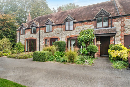
- Price
- Guide Price£390,000
Winfrith Newburgh, Dorchester, DT2 8, Winfrith Newburgh, Dorset DT2 England
Added on 12/10/2026Barn Conversion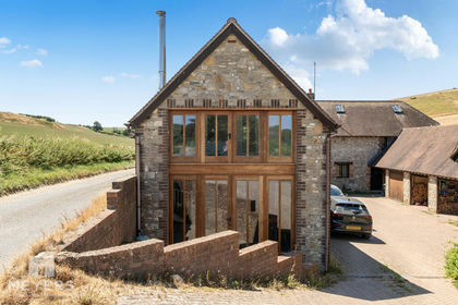
- Price
- Guide Price£350,000
East Chaldon, Dorchester, DT2 8, Chaldon Herring, Dorset DT2 England
Added on 23/07/2026Barn Conversion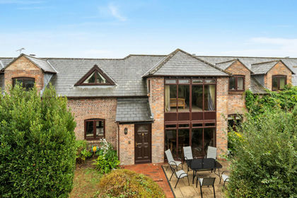
- Price
- Guide Price£525,000
Church Lane, East Stoke, BH20 6, East Stoke, Dorset BH20 England
Added on 04/09/2026Barn Conversion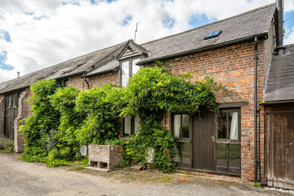
- Price
- Guide Price£385,000
Shitterton, Wareham, BH20 7, Bere Regis, Dorset BH20 England
Added on 21/09/2026Barn Conversion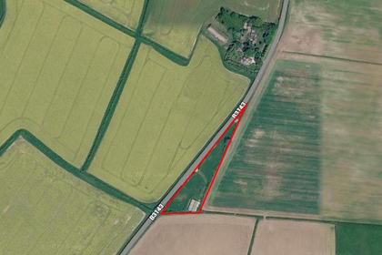
- Price
- Offers in Excess of£350,000
- Size
- 1.38 acres
Barn at Slyers Lane, Dorchester, Stinsford, Dorset DT2 England
Added on 18/06/2026Self Build Plot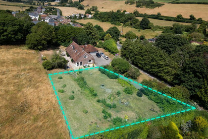
- Price
- Guide Price£425,000
Land, Charminster, Dorchester, Charminster, Dorset DT2 England
Added on 10/08/2026Development Land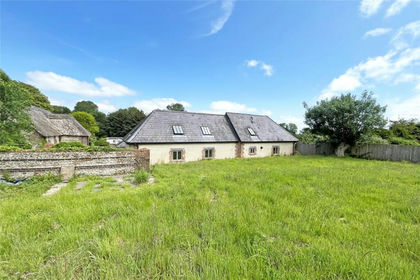
- Price
- Guide Price£450,000
Milton Abbas, Blandford Forum, Dorset, Milton Abbas, Dorset DT11 England
Added on 19/03/2026Barn Conversion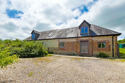
- Price
- Guide Price£475,000
- Size
- 1 acres
Milton Abbas, Blandford Forum, Dorset, Milton Abbas, Dorset DT11 England
Added on 19/03/2026Barn Conversion
- Price
- Offers Over£480,000
- Size
- 0.72 acres
Chickerell, Weymouth, Dorset, Chickerell, Dorset DT3 England
Added on 06/09/2026Barn Conversion Added on 06/05/2026Barn Conversion