Characterful Country Hotel, 4 Acres, Brendon, Devon
- Land size
- 4 acres
- Bedrooms
- 14
Key Features
- Our Ref: CD-20130
- 14 well-appointed letting bedrooms
- Spacious 3-bedroom owner’s apartment
- Multiple guest lounges including bar, snug, and converted chapel
- Expansive dining areas for residents and non-residents
- Approx. 4 acres of land, with scope for camping/lodges/outdoor pursuits
- Two car parks, private riverside terrace, and landscaped rear gardens
- Biomass boiler, private water supply & solar energy installation
- Extensive ancillary and storage facilities including barn/workshop
- Robust turnover & profits – currently run as a lifestyle business.
Description
FH Price: £935,000 Guide Price
A rare and exciting opportunity to acquire a historic and beautifully maintained 16th Century Country Hotel & Inn, set in the heart of North Devon’s breathtaking countryside, yet within easy reach of the charming twin coastal villages of Lynton and Lynmouth. This is not a public house in the traditional sense, but a dedicated hotel and hospitality business—a crucial distinction that reflects both the appeal and long-term investment potential of the business.
Lovingly operated by the same family since 2006, The Staghunters Inn & Country Hotel is an atmospheric and welcoming retreat. With 14 letting bedrooms, private flats, a chapel function room, and extensive gardens, it provides a peaceful escape for guests while offering substantial opportunities for an ambitious new owner.
The Staghunters Inn & Country Hotel is an authentic period property of considerable charm, offering a classic blend of historical architecture, warm interiors, and a spectacular rural location near Exmoor National Park. The inn has grown a loyal customer base and consistent year-round trade, bolstered by the booming popularity of outdoor leisure activities in the region—including walking, cycling, fishing, riding, and shooting.
Despite its secluded feel, the hotel remains highly accessible and is well-placed to capture both staycation and tourism markets, especially as rural escapes continue to outperform traditional urban holiday options.
Location
Set within the quiet hamlet of Brendon, just outside Lynton and Lynmouth, The Staghunters is surrounded by Exmoor National Park—a designated Area of Outstanding Natural Beauty renowned for its rugged cliffs, deep river valleys, ancient woodland, and open moorland. This dramatic landscape draws a wide range of visitors all year round.
Lynmouth and Lynton, often referred to as "Little Switzerland", offer charming, independent shops, tea rooms, and attractions including the cliff railway, Valley of Rocks, and the Southwest Coast Path. Slightly further afield, Barnstaple and Ilfracombe provide expanded commercial amenities, while North Devon’s beaches, such as Woolacombe, Lee Bay, and Woody Bay, are easily reached within 30–40 minutes.
The hotel’s location is perfectly positioned to benefit from tourism across North Devon, particularly amongst those drawn to nature, heritage, and active travel.
Map Location
Property details
- Tenure
- Freehold
- Council Tax Band
- Ask Agent
- Date Posted
- 2026-11-16
Utilities & Restrictions
Utilities
- Electricity
- Ask Agent
- Water
- Ask Agent
- Heating
- Ask Agent
- Broadband
- Ask Agent
- Sewerage
- Ask Agent
Rights & Restrictions
- Public Rights of Way
- Ask Agent
- Private Rights of Way
- Ask Agent
- Listed Property
- Ask Agent
- Restrictions
- Ask Agent
Listed status, conservation areas and planning constraints for this location are in the full report.
Property Features
- Accessibility
- Ask Agent
- Parking
- Parking Available
- Garden
- Garden
Beyond the particulars: planning activity, flood history, heritage and ground risks, checked for this exact spot.
Connectivity
Broadband
Fastest speed available at this postcode
23 Mbps
Standard (10-30 Mbps)
Suitable for
- Web & social
- Music streaming
- Standard video calls
Fixed wireless access may also be an option here.
Mobile signal
Predicted 4G and 5G signal; indoor signal depends on building materials.
Ofcom Connected Nations postcode-level predictions. Speeds and signal are modelled, not measured, and vary between addresses and providers.
Signal is the easy part. Planning activity, flood history and protected designations here are in the full report.
Nearest Schools
Primary
- Lynton Church of England Primary School3.1 milesNo Ofsted rating
- Ages
- 4 to 11
- Pupils
- 61
- Type
- Voluntary aided school
- Faith
- Church of England
- Parracombe Church of England Primary School6.4 milesNo Ofsted rating
- Ages
- 4 to 11
- Pupils
- 37
- Type
- Voluntary controlled school
- Faith
- Church of England
- St Dubricius Church of England VA School7.4 milesNo Ofsted rating
- Ages
- 2 to 9
- Pupils
- 90
- Type
- Voluntary aided school
- Faith
- Church of England
- Exford Church of England First School8.1 milesNo Ofsted rating
- Ages
- 4 to 9
- Pupils
- 13
- Type
- Voluntary controlled school
- Faith
- Church of England
- Brayford Academy9.6 milesOfsted: Good
- Ages
- 2 to 11
- Pupils
- 32
- Type
- Academy converter
Secondary
- Minehead Middle School13 milesOfsted: Requires improvement *
- Ages
- 9 to 13
- Pupils
- 570
- Type
- Academy converter
- West Somerset College13 milesOfsted report card · Jan 2026
- Ages
- 13 to 19
- Pupils
- 745
- Type
- Academy converter
- South Molton Community College15 milesOfsted: Good *
- Ages
- 11 to 16
- Pupils
- 656
- Type
- Foundation school
- The Ilfracombe Church of England Academy15 milesOfsted report card · Jan 2026
- Ages
- 11 to 18
- Pupils
- 1,016
- Type
- Academy sponsor led
- Faith
- Church of England
- Pilton Community College16 milesOfsted: Good
- Ages
- 11 to 16
- Pupils
- 1,165
- Type
- Academy converter
* Latest graded judgement covers quality of education only; no overall grade was issued under the 2024-25 inspection framework.
Distances are straight-line from the advertised location. Source: the national school registers (DfE, Welsh Government, Scottish Government) and Ofsted.
Schools are just the start: sold prices nearby, planning activity and any flood history are in the full report.
Amenities
Supermarket
GP surgery
Pharmacy
Hospital
Walking trail
Straight-line distances from the advertised location. Sources: NHS records, Geolytix supermarket locations, OS Open Greenspace and the national trails registers.
The area stacks up? Now check the location itself: planning nearby, protected designations and past flooding.
Getting Around
Nearest station
Nearest bus stop
Typical drive times
Straight-line distances from the advertised location; drive times are typical free-flow times over OpenStreetMap road data, so allow more at peak. Public transport locations from DfT NaPTAN.
Easy to reach matters. So do planning activity, flood history and ground risks: all in the full report.
Flood Risk
Environment Agency open data, checked around the advertised map pin for the listed acreage. Long-term risk counts flood defences; the planning map's flood zones do not. Provided by LandSale, not the listing agent, and not part of the agent's particulars. Risk varies across a holding, so verify before committing.
Rivers and the sea
Planning map: Flood Zone 3.
Surface water
Not at the pin: mapped about 50 metres away.
These bandings are the summary. Where this location sits on the flood maps, plus planning activity, heritage and ground risks, is in the full report.
Also in: Exmoor, North Devon
Important notice: Information, maps and tags on this page are drawn from the advertising agent's marketing materials or generated automatically. LandSale has not verified them. Relying on these details is at your own risk, always carry out independent checks before committing to a purchase.
LandSale full disclaimer
Marketing information only - not formal particulars. The details on this website are provided for general guidance and do not constitute an offer or contract. Neither LandSale nor the advertising estate/land agent accepts responsibility for any inaccuracy.
1. Source of information
- Listing content: Core description, asking price, tenure, measurements, photographs and planning history originate from the marketing materials of the advertising estate or land agent. LandSale does not author this content and cannot guarantee its accuracy.
- Automated tags & categorisation: Property type, land-use class, acreage bands and similar labels may be applied by machine-learning models. They are intended as a helpful guide only and may not reflect the property's legal status or permitted use.
- Third-party & enriched data layers: Maps, boundary outlines, planning designations, soil reports, broadband coverage and other environmental or location-based insights are licensed from external suppliers. Such data are supplied “as is", may be incomplete or out of date and are subject to change without notice.
2. Verification required
Prospective purchasers must verify critical matters, including but not limited to planning permission, title boundaries, public rights of way, environmental constraints, acreage, services, access and VAT status, through their own inspections, specialist surveys, legal advisers and the selling agent before relying on the information or entering into any contract.
3. No warranty or liability
LandSale gives no warranty, express or implied, as to the accuracy, completeness or fitness for any particular purpose of the information displayed. LandSale shall not be liable for any loss, damage, cost or expense arising directly or indirectly from any use of or reliance on such information, save where liability may not be excluded by law.
4. Updates & feedback
If you believe any detail on this listing is inaccurate, please let us know. We will investigate and, where appropriate, update the listing or notify the agent.
© LandSale | Version 1.3 - August 2026
Similar properties for sale
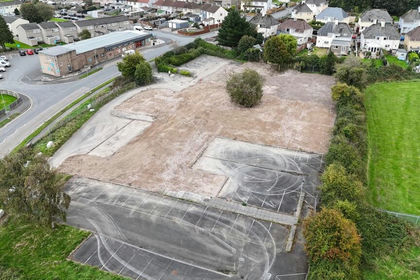
- Price
- £775,000
- Size
- 2.6 acres
Added on 29/05/2026Development Land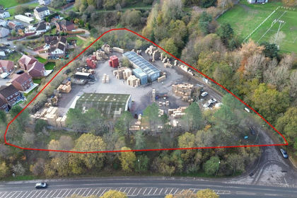
- Price
- Offers in Region of£795,000
- Size
- 2.25 acres
Former Old Highways Depot, Pontlottyn, Bargoed, CF81, Rhymney, Caerphilly CF81 Wales
Added on 13/11/2026Industrial Land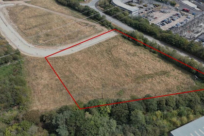
- Price
- £1,000,000
- Size
- 2.23 acres
Langage Energy Centre, Plymouth, Devon, Sparkwell, Devon PL7 England
Added on 02/09/2026Development Land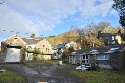
- Price
- Offers in Region of£795,000
- Size
- 9 acres
Dolbantau, Llanfihangel-Ar-Arth, Carms. SA39, Llandysul, Ceredigion SA39 Wales
Added on 02/04/2026Industrial Land