Springhill, Longworth, OX13
- Land size
- 2.3 acres
- Bedrooms
- 3
- Bathrooms
- 2
Key Features
- Total Space: Approx. 2,713 sq ft (including main accommodation, garage, and outbuildings)
- Living Accommodation: Bright kitchen/diner, spacious lounge, 2-3 flexible double bedrooms, luxury en-suite, and separate wet room
- Outbuildings & Potential: Double garage, extensive additional garage/barn spaces, external utility, and further outbuildings/stabling
- Development Scope: External steps lead to a large first-floor loft/storage space (35'6" x 7'9") with potential for conversion into a primary bedroom suite (Subject to Planning Permission)
- Land & Views: Expansive plot backing directly onto open countryside with far-reaching green views
- Lanzend sits within approx. 2.3 acres of land and has various outbuildings
Description
Lanzend has been extensively refurbished to an exceptional standard, combining contemporary living with attractive character features. The heart of the home is a bright kitchen/dining conservatory with a pitched glass roof, Karndean flooring and a Shaker-style kitchen featuring solid oak worktops, a butler sink and integrated appliances.
Double doors lead into an impressive 22ft sitting room, featuring a log burner set against a stone-effect feature wall and bi-fold/French doors opening onto the garden.
The ground floor offers two generous double bedrooms, including a dual-aspect principal bedroom with a luxurious four-piece en-suite bathroom comprising a freestanding bath and rainhead shower. A separate, fully tiled wet room adds further convenience, while a third versatile room is ideal as a home office, dressing room or nursery.
Accessed via a private external staircase, the first floor currently provides an extensive loft and storage area measuring over 35ft in length, together with a separate plant room. This space offers exciting potential to create additional accommodation, such as a principal bedroom suite or guest quarters, subject to the necessary planning permissions and building regulations. Its elevated position would also take full advantage of the far-reaching, uninterrupted countryside views.
Occupying a substantial plot backing onto open fields, Lanzend enjoys a wonderful rural setting, complemented by attractive timber cladding that gives the property a distinctive barn-style appearance.
The grounds offer a wealth of useful outbuildings, including a double garage, an additional substantial garage complex, an open barn, an external utility room and separate storage areas. There is also potential for stabling, alongside a hen house, mature gardens and open paddock space. The surrounding Oxfordshire countryside provides an attractive backdrop, making this a particularly appealing property for those seeking space, versatility and a rural lifestyle.
Springhill enjoys a peaceful rural setting in the sought-after village of Longworth, surrounded by beautiful Oxfordshire countryside and scenic walking routes. The area offers access to well-regarded local schooling, with further primary and secondary options available in neighbouring villages and nearby towns. Road connections via the A420 provide access to Oxford, Swindon and the M4, while rail services are available from nearby stations including Oxford and Didcot Parkway.
Some material information to note: Oil fired central heating. Mains water, mains electrics, private drainage. Ofcom checker indicates standard and ultrafast broadband is available at this address. Ofcom checker indicates mobile availability with all of the major providers. The property has parking and garaging. The government portal generally highlights this as a very low risk address for flooding. Properties built pre-2000 may contain asbestos in certain materials used in their construction or in subsequent building work. Examples of these materials are; Artex, vinyl tiles, sheet boards, corrugated roofing, pipework and lagging/insulation. These are generally considered safe unless disturbed but prospective buyers must take their own advice. Buyers are advised to conduct their own investigations and obtain their own independent advice to confirm the presence of any asbestos. We are not aware of any planning permissions in place which would negatively affect the property. Details of any covenants or easements are available on request from the estate agent.
Map Location
Property details
- Tenure
- Freehold
- Council Tax Band
- D
- Date Posted
- 2026-10-20
Market Value Analysis
Compared with 1,721 Homes with Land listings in South East England (1+ acres).
Utilities & Restrictions
Utilities
- Electricity
- Mains
- Water
- Mains
- Heating
- Ask Agent
- Broadband
- Full Fibre (FTTP)
- Sewerage
- Septic Tank / Private
Rights & Restrictions
- Public Rights of Way
- Ask Agent
- Private Rights of Way
- Ask Agent
- Listed Property
- Ask Agent
- Restrictions
- Ask Agent
Listed status, conservation areas and planning constraints for this location are in the full report.
Property Features
- Accessibility
- Ask Agent
- Parking
- Parking Available
- Garden
- Garden
Beyond the particulars: planning activity, flood history, heritage and ground risks, checked for this exact spot.
Connectivity
Broadband
Fastest speed available at this postcode
1 Gbps
Gigabit full fibre
Suitable for
- 4K streaming on every screen
- Full-time home working
- Online gaming & big downloads
Mobile signal
Predicted 4G and 5G signal; indoor signal depends on building materials.
Ofcom Connected Nations postcode-level predictions. Speeds and signal are modelled, not measured, and vary between addresses and providers.
Signal is the easy part. Planning activity, flood history and protected designations here are in the full report.
Nearest Schools
Primary
- John Blandy Primary School0.9 milesOfsted report card · Dec 2025
- Ages
- 4 to 11
- Pupils
- 296
- Type
- Academy converter
- Longworth Primary School1.1 milesOfsted: Good
- Ages
- 5 to 11
- Pupils
- 82
- Type
- Voluntary controlled school
- Faith
- Christian
- Buckland Church of England Primary School2.8 milesNo Ofsted rating
- Ages
- 3 to 11
- Pupils
- 111
- Type
- Academy converter
- Faith
- Church of England
- St James Church of England Primary School, Hanney3.3 milesNo Ofsted rating
- Ages
- 2 to 11
- Pupils
- 196
- Type
- Academy converter
- Faith
- Church of England
- Standlake Church of England Primary School3.6 milesOfsted: Good
- Ages
- 2 to 11
- Pupils
- 102
- Type
- Academy converter
- Faith
- Church of England
Secondary
- St Johns CofE Academy4.7 milesNo Ofsted rating
- Ages
- 2 to 16
- Pupils
- 327
- Type
- Free schools
- Faith
- Church of England
- Larkmead School5.9 milesNo Ofsted rating
- Ages
- 11 to 18
- Pupils
- 959
- Type
- Academy converter
- King Alfred's6.3 milesOfsted report card · Apr 2026
- Ages
- 11 to 18
- Pupils
- 1,708
- Type
- Academy converter
- John Mason School6.5 milesNo Ofsted rating
- Ages
- 11 to 18
- Pupils
- 927
- Type
- Academy converter
- Fitzharrys School6.7 milesNo Ofsted rating
- Ages
- 11 to 18
- Pupils
- 906
- Type
- Academy converter
Distances are straight-line from the advertised location. Source: the national school registers (DfE, Welsh Government, Scottish Government) and Ofsted.
Schools are just the start: sold prices nearby, planning activity and any flood history are in the full report.
Amenities
Supermarket
GP surgery
Pharmacy
Hospital
Green space
Straight-line distances from the advertised location. Sources: NHS records, Geolytix supermarket locations, OS Open Greenspace and the national trails registers.
The area stacks up? Now check the location itself: planning nearby, protected designations and past flooding.
Getting Around
Nearest station
Nearest bus stop
Typical drive times
Straight-line distances from the advertised location; drive times are typical free-flow times over OpenStreetMap road data, so allow more at peak. Public transport locations from DfT NaPTAN.
Easy to reach matters. So do planning activity, flood history and ground risks: all in the full report.
Flood Risk
Environment Agency open data, checked around the advertised map pin for the listed acreage. Long-term risk counts flood defences; the planning map's flood zones do not. Provided by LandSale, not the listing agent, and not part of the agent's particulars. Risk varies across a holding, so verify before committing.
Rivers and the sea
Planning map: Flood Zone 1.
Surface water
Not at the pin: mapped about 20 metres away.
These bandings are the summary. Where this location sits on the flood maps, plus planning activity, heritage and ground risks, is in the full report.
Important notice: Information, maps and tags on this page are drawn from the advertising agent's marketing materials or generated automatically. LandSale has not verified them. Relying on these details is at your own risk, always carry out independent checks before committing to a purchase.
LandSale full disclaimer
Marketing information only - not formal particulars. The details on this website are provided for general guidance and do not constitute an offer or contract. Neither LandSale nor the advertising estate/land agent accepts responsibility for any inaccuracy.
1. Source of information
- Listing content: Core description, asking price, tenure, measurements, photographs and planning history originate from the marketing materials of the advertising estate or land agent. LandSale does not author this content and cannot guarantee its accuracy.
- Automated tags & categorisation: Property type, land-use class, acreage bands and similar labels may be applied by machine-learning models. They are intended as a helpful guide only and may not reflect the property's legal status or permitted use.
- Third-party & enriched data layers: Maps, boundary outlines, planning designations, soil reports, broadband coverage and other environmental or location-based insights are licensed from external suppliers. Such data are supplied “as is", may be incomplete or out of date and are subject to change without notice.
2. Verification required
Prospective purchasers must verify critical matters, including but not limited to planning permission, title boundaries, public rights of way, environmental constraints, acreage, services, access and VAT status, through their own inspections, specialist surveys, legal advisers and the selling agent before relying on the information or entering into any contract.
3. No warranty or liability
LandSale gives no warranty, express or implied, as to the accuracy, completeness or fitness for any particular purpose of the information displayed. LandSale shall not be liable for any loss, damage, cost or expense arising directly or indirectly from any use of or reliance on such information, save where liability may not be excluded by law.
4. Updates & feedback
If you believe any detail on this listing is inaccurate, please let us know. We will investigate and, where appropriate, update the listing or notify the agent.
© LandSale | Version 1.3 - August 2026
Similar properties for sale
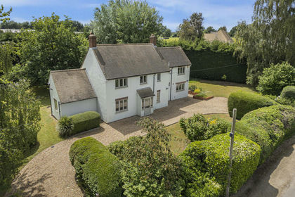
- Price
- Guide Price£870,000
- Size
- 1.69 acres
Hinton Road, Longworth, OX13, Longworth, Oxfordshire OX13 England
Added on 29/01/2026House with Land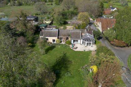
- Price
- Offers Over£1,100,000
- Size
- 1 acres
Oakley Park, Frilford Heath, Oxfordshire, Marcham, Oxfordshire OX13 England
Added on 14/07/2026House with Land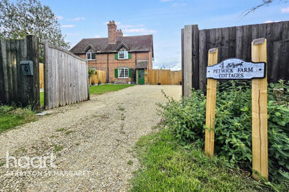
- Price
- Guide Price£750,000
- Size
- 3 acres
Challow Station, Faringdon, West Challow, Oxfordshire SN7 England
Added on 16/04/2026Cottage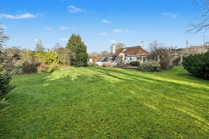
- Price
- £850,000
- Size
- 1.36 acres
Added on 14/02/2026House with Land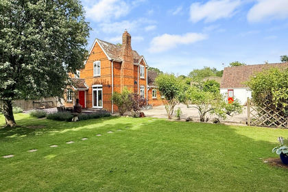
- Price
- Offers in Excess of£750,000
- Size
- 1 acres
Uffington, Faringdon, SN7, Uffington, Oxfordshire SN7 England
Added on 18/06/2026House with Land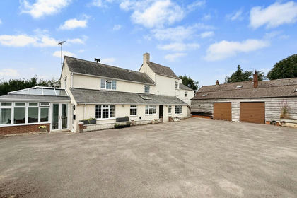
- Price
- Offers in Excess of£750,000
- Size
- 2.5 acres
Uffington, Faringdon, SN7, Uffington, Oxfordshire SN7 England
Added on 26/07/2026House with Land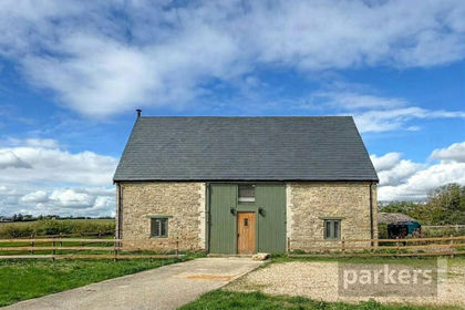
- Price
- Guide Price£775,000
- Size
- 1 acres
Oxford Road, Witney, Oxfordshire, OX29, South Leigh and High Cogges, Oxfordshire OX29 England
Added on 12/10/2026Barn Conversion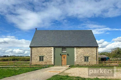
- Price
- Guide Price£775,000
- Size
- 1 acres
Oxford Road, Witney, Oxfordshire, OX29, South Leigh and High Cogges, Oxfordshire OX29 England
Added on 09/10/2026Barn Conversion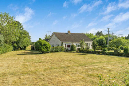
- Price
- Guide Price£900,000
- Size
- 4.28 acres
Bushey Ground, Minster Lovell, OX29, Minster Lovell, Oxfordshire OX29 England
Added on 29/01/2026House with Land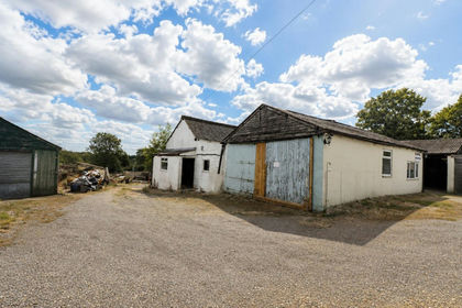
- Price
- Guide Price£950,000
- Size
- 2.3 acres
Mount Skippett, Ramsden, Chipping Norton, Ramsden, Oxfordshire OX7 England
Added on 02/10/2026Development Land