Benwick Road and Turntree Road, Whittlesey
- Land size
- 27.47 acres
Description
LOCATION
The land abuts Benwick Road and Turntree Road, approximately 1 mile east of Whittlesey.
DESCRIPTION
Two enclosures of arable land at Whittlesey, comprising 19.32 Acres (7.82 Hectares) (more or less) at Benwick Road and 8.15 Acres (3.30 Hectares) (more or less) at Turntree Road.
SCHEDULE
RLR Map Number Acres Hectares
TL2895 - 8374 19.32 7.82
TL2895 - 4525 8.15 3.30
LAND CLASSIFICATION
The land is classified as Grade I on the Agricultural Land Classification Map of England and Wales (Sheet 134).
PREVIOUS CROPPING
2026 Barley
2025 Wheat
2024 Sugar Beet
2023 Wheat
2022 Peas
2021 Wheat
2020 Potatoes
TENURE AND POSSESSION
The two fields are offered To Let, as a whole, on a 3 year Farm Business Tenancy deemed to commence 11th October 2026 to 10th October 2029 (unless the parties agree to continue the tenancy). A sample agreement will be available for inspection at the office of Maxey Grounds & Co LLP, by appointment.
Early entry may be permitted in order for the new Tenant to commence cultivations.
The Tenant will be required to sign the Tenancy Agreement prior to entering the land.
TENANT RIGHT
There will be no claim for tenant right, nor any claim for dilapidation (if any) at the commencement of the tenancy.
RENT
The rent will be paid half yearly in arrears on 6th April and 11th October. The rent will be fixed for the first 3 years of the tenancy. There will be provision for 3 yearly reviews, thereafter.
METHOD OF LETTING
The land is available To Let by Informal Tender. A Tender Form is attached to these particulars. The closing date for the receipt of tenders is 12 Noon on Thursday 9th July 2026. All Tenders should be returned to Maxey Grounds & Co, 1-3 South Brink, Wisbech, Cambridgeshire PE13 1JA in a sealed envelope marked 'Tender for Benwick Road Land'. The bid should clearly state in pounds the amount of annual rent offered.
The Tender form should be accompanied by a summary of the proposed Tenants current farming background and operations and a proposed cropping rotation. The landlord is under no obligation to accept the highest, or any Tender. The successful party will be contacted shortly after the tender date.
The land is offered subject to all existing rights, including rights of way whether private or public, light, support, drainage, water and electricity supplies, and other rights, easements, quasi easements and all wayleaves, whether referred to or not in these particulars. All wayleave payments (if any) remain with the landlord.
SUBSIDIES
The land is registered with the Rural Payments Agency and has been used to activate Entitlements by the previous Tenant. All delinked payments belong to the outgoing Tenant. The land has not been entered into any Countryside Stewardship or Entry Level Schemes.
SPORTING RIGHTS
Sporting rights are NOT included in the letting.
PERMITTED USE
Agricultural purposes only.
NO industrial maize is to be grown on the land without the landlord's permission.
BOUNDARIES
The land is shown on the attached plan for illustrative purposes only. The ingoing Tenant will be expected to have inspected and be aware of the boundaries prior to the commencement of the tenancy agreement.
PLANS, AREAS AND SCHEDULES
The Particulars have been prepared using the metric edition of the Ordnance Survey Map and the areas are taken from Rural Land Register Maps.
OUTGOINGS
Drainage rates are payable to the Middle Level Commissioners and Whittlesey Internal Drainage Board. The rates, for guidance, for the year to 31st March 2027 are: -
Middle Level Commissioners £428.40
Whittlesey Internal Drainage Board £466.20
VIEWINGS
Viewing at any reasonable hour with a set of particulars in hand. The Health and Safety of those viewing is the responsibility of the individual undertaking the viewing. Cultivated or uncultivated land is, by its nature, likely to be uneven with possible trip hazards. Neither the owner nor the agent accept any responsibility for damage or injury to persons or property as a result of viewing the land and parties do so entirely at their own risk.
FURTHER INFORMATION
If you have any further queries, please contact Shirley Pollard or Jessica Allen at our Professional Office on .
Map Location
Property details
- Tenure
- Freehold
- Council Tax Band
- Ask Agent
- Date Posted
- 2026-07-02
Utilities & Restrictions
Utilities
- Electricity
- Ask Agent
- Water
- Ask Agent
- Heating
- Ask Agent
- Broadband
- Ask Agent
- Sewerage
- Ask Agent
Rights & Restrictions
- Public Rights of Way
- Ask Agent
- Private Rights of Way
- Ask Agent
- Listed Property
- Ask Agent
- Restrictions
- Ask Agent
Property Features
- Accessibility
- Ask Agent
- Parking
- Ask Agent
- Garden
- Garden
Important notice: Information, maps and tags on this page are supplied by the advertising agent or generated automatically. LandSale has not verified them. Relying on these details is at your own risk, always carry out independent checks before committing to a purchase.
LandSale full disclaimer
Marketing information only - not formal particulars. The details on this website are provided for general guidance and do not constitute an offer or contract. Neither LandSale nor the advertising estate/land agent accepts responsibility for any inaccuracy.
1. Source of information
- Agent-supplied content: Core description, asking price, tenure, measurements, photographs and planning history are uploaded by the appointed agent, who remains solely responsible for their accuracy.
- Automated tags & categorisation: Property type, land-use class, acreage bands and similar labels may be applied by machine-learning models. They are intended as a helpful guide only and may not reflect the property's legal status or permitted use.
- Third-party & enriched data layers: Maps, boundary outlines, planning designations, soil reports, broadband coverage and other environmental or location-based insights are licensed from external suppliers. Such data are supplied “as is", may be incomplete or out of date and are subject to change without notice.
2. Verification required
Prospective purchasers must verify critical matters, including but not limited to planning permission, title boundaries, public rights of way, environmental constraints, acreage, services, access and VAT status, through their own inspections, specialist surveys, legal advisers and the selling agent before relying on the information or entering into any contract.
3. No warranty or liability
LandSale gives no warranty, express or implied, as to the accuracy, completeness or fitness for any particular purpose of the information displayed. LandSale shall not be liable for any loss, damage, cost or expense arising directly or indirectly from any use of or reliance on such information, save where liability may not be excluded by law.
4. Updates & feedback
If you believe any detail on this listing is inaccurate, please let us know. We will investigate and, where appropriate, update the listing or notify the agent.
© LandSale | Version 1.2 - January 2026
Listing agent
Maxey Grounds - Commercial, March
22-24 Market Place, March, PE15 9JH
Similar properties for sale
- Price
- Offers in Region of£90,000
- Size
- 14.84 acres
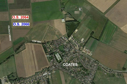
Feldale Drove: Coates, Whittlesey, Cambridgeshire PE7 2BQ England
Added on 29/01/2026Agricultural Land
- Price
- From£14,300,000
- Size
- 1282.79 acres
Added on 29/05/2026Farm
- Price
- Guide Price£2,950,000
- Size
- 302.2 acres
Holme, Yaxley, Peterborough, Cambridgeshire, Holme, Cambridgeshire PE7 3PT England
Added on 26/05/2026Farm
- Price
- Guide Price£2,200,000
- Size
- 225.22 acres
Holme, Yaxley, Peterborough, Cambridgeshire, Holme, Cambridgeshire PE7 3PT England
Added on 19/04/2026Arable Land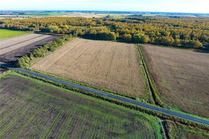
- Price
- Guide Price£750,000
- Size
- 76.98 acres
Holme, Yaxley, Peterborough, Cambridgeshire, Holme, Cambridgeshire PE7 3PT England
Added on 26/05/2026Farm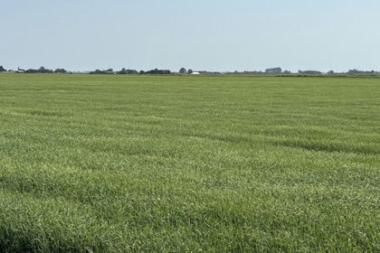
- Price
- Sale by Tender
- Size
- 94.74 acres
Lambs Hill Drove and Stow Fen Drove, March, March, Cambridgeshire PE15 9HP England
Added on 22/06/2026FarmlandLeasehold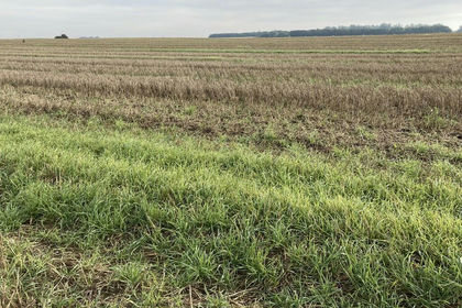
- Price
- £900,000
- Size
- 71.98 acres
Manea Road, Wimblington, March, Wimblington, Cambridgeshire PE15 0PE England
Added on 29/01/2026Arable Land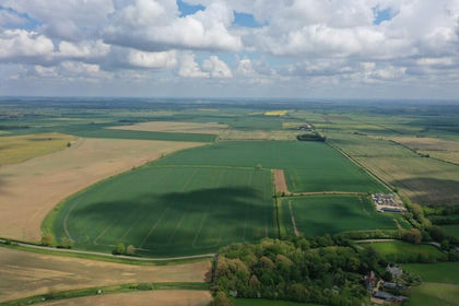
- Price
- Guide Price£1,915,000
- Size
- 210.07 acres
Added on 31/05/2026Farmland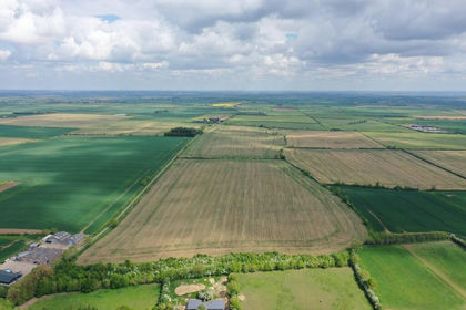
- Price
- Guide Price£770,000
- Size
- 82.65 acres
Added on 31/05/2026Farmland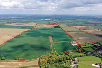
- Price
- Guide Price£3,145,000
- Size
- 294.11 acres
Added on 31/05/2026Farmland