Cliveden Road, Burnham, SL1
- Land size
- 2 acres
- Bedrooms
- 5
- Bathrooms
- 5
Key Features
- Five-bedroom country house of approximately 5681 sq ft
- Directly opposite National Trust land and Cliveden House
- Landscaped gardens of approximately 2 acres with swimming pool tennis court and illuminated boules pitch
- Triple garage with annexe/studio above
- Excellent commuting links via road and rail with two Elizabeth line stations within 3 miles
Description
Queen’s Lodge is a stunning individually designed house built in 2001. The house is set on the site of a former 19th-century lodge that once formed part of the Dropmore Estate. The Estate was often visited by Queen Victoria, hence the name “Queen’s Lodge”. The modern house is a high specification property which is finished to an exceptional standard and offers expansive accommodation across the main house and a separate studio apartment above the garage. The near two acre grounds comprise formal gardens, a swimming pool, tennis court and boules pitch, all of which are well enclosed for a feeling of outstanding privacy.
The house, though contemporary, has a character feel with its attractive timber-framed elevations with decorative brick and tile design. Internally, decorative plasterwork, brick and stone fireplaces and woodenframed leaded-style windows add further character, though the fixtures and fittings are all extremely modern. The kitchen is a particular highlight, with its Häcker cabinetry, lighting and Lusso Silestone surfaces, and there are premium Miele integrated appliances. The room is open plan, with zoned areas for entertaining and family and forms the heart of the house with doors leading onto the garden. Separately there are two formal reception rooms, a study, a laundry room and a cloakroom with WC. On the first floor, all five bedrooms are double size with built-in storage. Three are en suite, with the principal bedroom also having its own balcony overlooking the gardens, and there is a separate family bathroom. The second floor has a cinema room which could be converted for additional bedrooms if required. Above the triple garage is a self-contained studio apartment with kitchen/sitting/bedroom and en suite shower room, which could be ideal for an au pair, housekeeper or older children living at home.
Outside
The gated grounds of Queen’s Lodge are accessed opposite one of the entrances to Cliveden House and are very grand, with a pillared entrance side on to the house. There is a generous parking area to the front, with a triple garage and additional room for parking. The gardens envelop the house with formal lawns and borders to the front and rear, both backed by mature trees affording a high degree of privacy. To the side of the house, an outdoor swimming pool sits within a large terrace, while at the front there is an enclosed tennis court and illuminated boules pitch together with adjacent summer house.
Situation
Cliveden Road runs parallel to the river Thames and links the area of National Trust land around Cliveden House with the amenities of Maidenhead, Taplow and Burnham, all of which have train stations, day-to-day shopping, pubs and services. Beaconsfield and the M40 are also less than five miles distant for extensive shopping and transport links. There are footpaths available locally at Burnham Beeches and open countryside and attractions such as Cliveden House and grounds, Maidenhead Riverside, Cookham and Bray Village, the latter with its multiple Michelin-starred dining venues. There are several highly regarded schools in the Maidenhead area in both the state and independent sectors, including Burnham Grammar School which is just 2.6 miles distant. The property is also well located for the M4, providing access to the West Country, the M25, London and its airports. Rail services to London Paddington and Reading are available from Burnham station (3.1 miles) and Taplow station (2.6 miles) which are on the Elizabeth line.
Property Ref Number:
HAM-53092Additional Information
Mains water and electricity. Drainage via septic tank.
Oil-fired central heating.
Map Location
Property details
- Tenure
- Freehold
- Council Tax Band
- H
- Date Posted
- 2026-06-26
Market Value Analysis
Compared with 1,865 Homes with Land listings in South East England (1+ acres).
Energy Performance Certificate
Energy Efficiency Rating
Based on UK Energy Performance Certificate standards (EU Directive 2002/91/EC)
Utilities & Restrictions
Utilities
- Electricity
- Ask Agent
- Water
- Ask Agent
- Heating
- Ask Agent
- Broadband
- Ask Agent
- Sewerage
- Ask Agent
Rights & Restrictions
- Public Rights of Way
- Ask Agent
- Private Rights of Way
- Ask Agent
- Listed Property
- Ask Agent
- Restrictions
- Ask Agent
Property Features
- Accessibility
- Ask Agent
- Parking
- Garage, Off-Street Parking
- Garden
- Private Garden
Connectivity
Broadband
Fastest speed available at this postcode
55 Mbps
Superfast
Suitable for
- HD streaming
- Video calls
- Web & social
Mobile signal
Outdoor predictions; indoor signal depends on building materials.
Ofcom Connected Nations postcode-level predictions. Speeds and signal are modelled, not measured, and vary between addresses and providers.
Nearest Schools
Primary
- Holy Trinity CofE Primary School, Cookham1.2 milesOfsted: Good
- Ages
- 4 to 11
- Pupils
- 210
- Type
- Voluntary controlled school
- Faith
- Church of England
- Dropmore Infant School1.3 milesOfsted: Good
- Ages
- 4 to 7
- Pupils
- 64
- Type
- Community school
- St Paul's Church of England Combined School, Wooburn1.6 milesOfsted: Good
- Ages
- 3 to 11
- Pupils
- 225
- Type
- Voluntary aided school
- Faith
- Church of England
- St Nicolas' Church of England Combined School1.8 milesNo Ofsted rating
- Ages
- 4 to 11
- Pupils
- 217
- Type
- Academy converter
- Faith
- Church of England
- St Peter's Church of England Primary School1.8 milesNo Ofsted rating
- Ages
- 2 to 11
- Pupils
- 255
- Type
- Voluntary aided school
- Faith
- Church of England
Secondary
- E-Act Bourne End Academy1.9 milesOfsted: Good
- Ages
- 11 to 18
- Pupils
- 707
- Type
- Academy sponsor led
- Burnham Grammar School2.2 milesNo Ofsted rating
- Ages
- 11 to 18
- Pupils
- 1,262
- Type
- Academy converter
- Furze Platt Senior School3 milesOfsted report card · Mar 2026
- Ages
- 11 to 18
- Pupils
- 1,556
- Type
- Academy converter
- Beechwood School3 milesOfsted: Requires improvement *
- Ages
- 11 to 18
- Pupils
- 838
- Type
- Academy converter
- Desborough College3.5 milesNo Ofsted rating
- Ages
- 11 to 18
- Pupils
- 539
- Type
- Academy sponsor led
- Gender
- Boys
* Latest graded judgement covers quality of education only; no overall grade was issued under the 2024-25 inspection framework.
Distances are straight-line from the advertised location. Source: the national school registers (DfE, Welsh Government, Scottish Government) and Ofsted.
Amenities
Supermarket
GP surgery
Pharmacy
Hospital
Green space
Walking trail
Straight-line distances from the advertised location. Sources: NHS records, Geolytix supermarket locations, OS Open Greenspace and the national trails registers.
Getting Around
Nearest station
Nearest bus stop
Typical drive times
Straight-line distances from the advertised location; drive times are typical free-flow times over OpenStreetMap road data, so allow more at peak. Public transport locations from DfT NaPTAN.
Flood Risk
From Environment Agency flood map open data, checked around the advertised map pin and allowing for the listed acreage where known. This summary comes from LandSale, the advertising platform, not from the listing agent, and is not part of the agent's particulars. Risk can vary across a single holding, so verify anything critical through your own searches before committing.
Rivers and the sea
Surface water
The detail behind these bandings, including exact zones and annual chances, any recorded past flooding, plus planning, heritage, nature and ground checks, is in the .
Important notice: Information, maps and tags on this page are supplied by the advertising agent or generated automatically. LandSale has not verified them. Relying on these details is at your own risk, always carry out independent checks before committing to a purchase.
LandSale full disclaimer
Marketing information only - not formal particulars. The details on this website are provided for general guidance and do not constitute an offer or contract. Neither LandSale nor the advertising estate/land agent accepts responsibility for any inaccuracy.
1. Source of information
- Agent-supplied content: Core description, asking price, tenure, measurements, photographs and planning history are uploaded by the appointed agent, who remains solely responsible for their accuracy.
- Automated tags & categorisation: Property type, land-use class, acreage bands and similar labels may be applied by machine-learning models. They are intended as a helpful guide only and may not reflect the property's legal status or permitted use.
- Third-party & enriched data layers: Maps, boundary outlines, planning designations, soil reports, broadband coverage and other environmental or location-based insights are licensed from external suppliers. Such data are supplied “as is", may be incomplete or out of date and are subject to change without notice.
2. Verification required
Prospective purchasers must verify critical matters, including but not limited to planning permission, title boundaries, public rights of way, environmental constraints, acreage, services, access and VAT status, through their own inspections, specialist surveys, legal advisers and the selling agent before relying on the information or entering into any contract.
3. No warranty or liability
LandSale gives no warranty, express or implied, as to the accuracy, completeness or fitness for any particular purpose of the information displayed. LandSale shall not be liable for any loss, damage, cost or expense arising directly or indirectly from any use of or reliance on such information, save where liability may not be excluded by law.
4. Updates & feedback
If you believe any detail on this listing is inaccurate, please let us know. We will investigate and, where appropriate, update the listing or notify the agent.
© LandSale | Version 1.2 - January 2026
Listing agent
Hamptons, Maidenhead
11-13 Queen Street, Maidenhead, SL6 1NB
Similar properties for sale
- Price
- Guide Price£2,500,000
- Size
- 3 acres
Added on 15/06/2026Country Home
- Price
- Guide Price£2,250,000
- Size
- 1 acres
Hedgerley Lane, Gerrards Cross, Gerrards Cross, Buckinghamshire SL9 England
Added on 15/04/2026Country Home
- Price
- Guide Price£2,500,000
- Size
- 2 acres
Frieth Road, Marlow, Buckinghamshire, SL7, Great Marlow, Buckinghamshire SL7 England
Added on 07/02/2026Building Plot
- Price
- £2,895,000
- Size
- 4 acres
Bath Road, Hare Hatch, Berkshire, RG10, Wargrave, Wokingham RG10 England
Added on 14/05/2026Country Home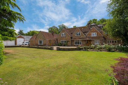
- Price
- Guide Price£3,000,000
- Size
- 2 acres
Chenies, Rickmansworth, WD3, Chenies, Buckinghamshire WD3 England
Added on 11/05/2026Country Home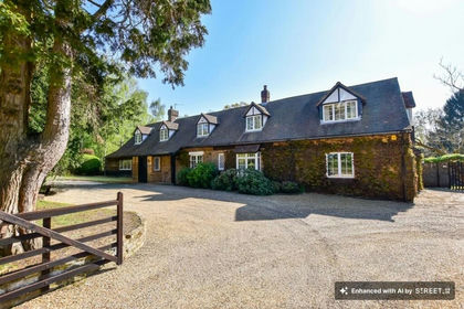
- Price
- Guide Price£3,000,000
- Size
- 12 acres
Church Lane, Sarratt, WD3, Sarratt, Hertfordshire WD3 England
Added on 01/05/2026Country Home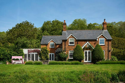
- Price
- £2,500,000
- Size
- 5.5 acres
Bledlow Ridge, High Wycombe, Bledlow-cum-Saunderton, Buckinghamshire HP14 England
Added on 18/06/2026Country Home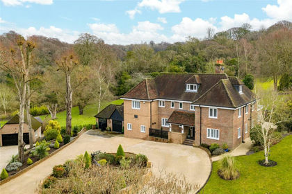
- Price
- Guide Price£2,850,000
- Size
- 6.5 acres
Added on 27/02/2026Country Home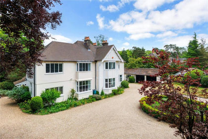
- Price
- £2,500,000
- Size
- 2 acres
The Ridges, Finchampstead, Wokingham, Finchampstead, Wokingham RG40 England
Added on 19/03/2026Country Home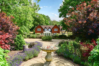
- Price
- Guide Price£2,750,000
- Size
- 9.7 acres
White Horse Lane, Finchampstead, Wokingham, Berkshire, RG40, Finchampstead, Wokingham RG40 England
Added on 27/03/2026Country Home