Frome Road, Hinton Charterhouse, Bath, Somerset, BA2
- Land size
- 15 acres
- Bedrooms
- 8
- Bathrooms
- 7
Key Features
- Detached country house
- Eight bedrooms
- Seven bathrooms
- Four reception rooms
- Swimming pool
- Stables
- Gardens, paddocks and woodland
- About 15 acres
Description
Friary Wood is a handsome 19th-century Bath stone country house set within ancient woodland between Hinton Charterhouse and Freshford. With later Edwardian additions this eight-bedroom property is surrounded by beautifully established grounds, combining the scale and elegance of a traditional country home with the practicality of modern family living.
Owned by the same family for over eleven years, the owners describe Friary Wood as ‘a warm and friendly house with a wonderful town-and-country feel.’ Having enjoyed walking in the Iford, Freshford and Hinton Charterhouse area, they add, ‘when Friary Wood became available, we jumped at the chance to live here for its quick and easy access to the city from a rural setting surrounded by vibrant villages.’
During their tenure, the owners have carefully restored elements of the property to its original proportions, including reinstating the main staircase and opening up former bedrooms to create additional reception space for visiting family and friends. At the heart of the house is the kitchen, complete with a traditional six-oven Aga and family snug area. ‘The kitchen has always been the social hub of the house,’ the owners explain. ‘It’s where everyone naturally gathers.’ Elsewhere, well-proportioned formal reception rooms offer quieter places to relax, while French doors open directly onto a sun-filled terrace from both the kitchen and drawing room.
Outside, the grounds have been thoughtfully restored, including the reclamation of the original walled garden now planted with wildflowers, roses, lavender and fruit trees. Circular walks weave through the woodland into the surrounding countryside and Friary Wood also boasts two paddocks, stables, a tennis court and a swimming pool, although the latter needs some upgrading.
The location offers the best of all worlds – spacious countryside living yet within easy access of Bath, excellent schools and a thriving local community. ‘The proximity to Bath was the draw for us, enabling easy access to the city’s rugby, theatres, restaurants, festivals, shops and markets, but with space to enjoy active family life.’
‘We have hosted many celebrations here – the house is made for bringing people together.’
‘The walled garden gives us enormous pleasure, especially in the evenings when the sun sets behind it and hot air balloons drift overhead.’
‘Surrounded by our own acreage and neighbouring private estates, Friary Wood offers privacy, unspoilt permanence and security, within a designated Area of Outstanding Natural Beauty.'
Additional information
Tenure: Freehold
Services:
Mains Electricity, Water and Drainage
Heating: Oil
The comments provided herein represent the personal views of the current owner and are intended solely as an insight into life at the property. They have not been independently verified and should not be relied upon as factually accurate without further confirmation. Such comments do not necessarily reflect the views of Bath and Rural.
These particulars are provided for general information purposes only and do not constitute, nor form part of, an offer or contract. Bath and Rural has made every reasonable effort to ensure that the particulars and accompanying information are as accurate as possible; however, they are not intended to constitute advice upon which reliance should be placed as being factually accurate. Prospective purchasers should not assume that the property has obtained all necessary planning permissions, building regulation approvals, or other consents. Bath and Rural has not tested any services, systems, appliances, or equipment. All measurements and distances are approximate.
Purchasers must satisfy themselves as to the accuracy of all information provided through independent inspection or other appropriate means. While reasonable efforts are made to keep information up to date, neither Bath and Rural nor any person in its employment or acting on its behalf provides any representation, warranty, or guarantee, whether express or implied, regarding the property or the accuracy, completeness, or currency of these particulars.
Images are provided for illustrative purposes only and depict parts of the property as they appeared at the time the photographs were taken. Should you require any further information, please contact us.
A schedule of fixtures and fittings, including carpets, curtains, light fittings, and other items affixed to the property that are included in the sale (or may be available by separate negotiation), will be provided by the Seller’s solicitors.
Map Location
Property details
- Tenure
- Freehold
- Council Tax Band
- TBC
- Date Posted
- 2026-06-22
Market Value Analysis
Compared with 189 Homes with Land listings in South West England (10+ acres).
Energy Performance Certificate
Energy Efficiency Rating
Based on UK Energy Performance Certificate standards (EU Directive 2002/91/EC)
Running costs are one side. Planning activity, flood history and ground risks for this location are in the full report.
Utilities & Restrictions
Utilities
- Electricity
- Mains
- Water
- Mains
- Heating
- Oil Heating
- Broadband
- Ask Agent
- Sewerage
- Mains
Rights & Restrictions
- Public Rights of Way
- Ask Agent
- Private Rights of Way
- Ask Agent
- Listed Property
- Ask Agent
- Restrictions
- Ask Agent
Listed status, conservation areas and planning constraints for this location are in the full report.
Property Features
- Accessibility
- Ask Agent
- Parking
- Off-Street Parking
- Garden
- Garden
Beyond the particulars: planning activity, flood history, heritage and ground risks, checked for this exact spot.
Connectivity
Broadband
Fastest speed available at this postcode
20 Mbps
Standard (10-30 Mbps)
Suitable for
- Web & social
- Music streaming
- Standard video calls
Mobile signal
Predicted 4G and 5G signal; indoor signal depends on building materials.
Ofcom Connected Nations postcode-level predictions. Speeds and signal are modelled, not measured, and vary between addresses and providers.
Signal is the easy part. Planning activity, flood history and protected designations here are in the full report.
Nearest Schools
Primary
- Freshford Church School0.7 milesNo Ofsted rating
- Ages
- 4 to 11
- Pupils
- 159
- Type
- Academy converter
- Faith
- Church of England
- Westwood-with-Iford Primary School1.4 milesOfsted: Good *
- Ages
- 4 to 11
- Pupils
- 43
- Type
- Academy sponsor led
- Winsley CoE VC Primary School1.8 milesOfsted: Good
- Ages
- 4 to 11
- Pupils
- 138
- Type
- Academy converter
- Faith
- Church of England
- Norton St Philip Church of England First School2.1 milesOfsted: Good
- Ages
- 4 to 9
- Pupils
- 55
- Type
- Voluntary aided school
- Faith
- Church of England
- Combe Down CofE Primary School2.5 milesNo Ofsted rating
- Ages
- 4 to 11
- Pupils
- 422
- Type
- Academy converter
- Faith
- Church of England
Secondary
- Ralph Allen School2.4 milesNo Ofsted rating
- Ages
- 11 to 18
- Pupils
- 1,398
- Type
- Academy converter
- St Laurence School2.8 milesNo Ofsted rating
- Ages
- 11 to 18
- Pupils
- 1,378
- Type
- Academy converter
- Faith
- Church of England/Christian
- Saint Gregory's Catholic College3.4 milesOfsted: Good
- Ages
- 11 to 18
- Pupils
- 987
- Type
- Voluntary aided school
- Faith
- Roman Catholic
- Beechen Cliff School3.6 milesOfsted: Good
- Ages
- 11 to 18
- Pupils
- 1,232
- Type
- Academy converter
- Gender
- Boys
- St Augustine's Catholic College4.1 milesOfsted: Good
- Ages
- 11 to 18
- Pupils
- 912
- Type
- Academy converter
- Faith
- Roman Catholic
* Latest graded judgement covers quality of education only; no overall grade was issued under the 2024-25 inspection framework.
Distances are straight-line from the advertised location. Source: the national school registers (DfE, Welsh Government, Scottish Government) and Ofsted.
Schools are just the start: sold prices nearby, planning activity and any flood history are in the full report.
Amenities
Supermarket
GP surgery
Pharmacy
Hospital
Green space
Straight-line distances from the advertised location. Sources: NHS records, Geolytix supermarket locations, OS Open Greenspace and the national trails registers.
The area stacks up? Now check the location itself: planning nearby, protected designations and past flooding.
Getting Around
Nearest station
Nearest bus stop
Typical drive times
Straight-line distances from the advertised location; drive times are typical free-flow times over OpenStreetMap road data, so allow more at peak. Public transport locations from DfT NaPTAN.
Easy to reach matters. So do planning activity, flood history and ground risks: all in the full report.
Flood Risk
Environment Agency open data, checked around the advertised map pin for the listed acreage. Long-term risk counts flood defences; the planning map's flood zones do not. Provided by LandSale, not the listing agent, and not part of the agent's particulars. Risk varies across a holding, so verify before committing.
Rivers and the sea
Planning map: Flood Zone 1.
Surface water
Not at the pin: mapped about 70 metres away.
These bandings are the summary. Where this location sits on the flood maps, plus planning activity, heritage and ground risks, is in the full report.
Important notice: Information, maps and tags on this page are drawn from the advertising agent's marketing materials or generated automatically. LandSale has not verified them. Relying on these details is at your own risk, always carry out independent checks before committing to a purchase.
LandSale full disclaimer
Marketing information only - not formal particulars. The details on this website are provided for general guidance and do not constitute an offer or contract. Neither LandSale nor the advertising estate/land agent accepts responsibility for any inaccuracy.
1. Source of information
- Listing content: Core description, asking price, tenure, measurements, photographs and planning history originate from the marketing materials of the advertising estate or land agent. LandSale does not author this content and cannot guarantee its accuracy.
- Automated tags & categorisation: Property type, land-use class, acreage bands and similar labels may be applied by machine-learning models. They are intended as a helpful guide only and may not reflect the property's legal status or permitted use.
- Third-party & enriched data layers: Maps, boundary outlines, planning designations, soil reports, broadband coverage and other environmental or location-based insights are licensed from external suppliers. Such data are supplied “as is", may be incomplete or out of date and are subject to change without notice.
2. Verification required
Prospective purchasers must verify critical matters, including but not limited to planning permission, title boundaries, public rights of way, environmental constraints, acreage, services, access and VAT status, through their own inspections, specialist surveys, legal advisers and the selling agent before relying on the information or entering into any contract.
3. No warranty or liability
LandSale gives no warranty, express or implied, as to the accuracy, completeness or fitness for any particular purpose of the information displayed. LandSale shall not be liable for any loss, damage, cost or expense arising directly or indirectly from any use of or reliance on such information, save where liability may not be excluded by law.
4. Updates & feedback
If you believe any detail on this listing is inaccurate, please let us know. We will investigate and, where appropriate, update the listing or notify the agent.
© LandSale | Version 1.3 - August 2026
Similar properties for sale
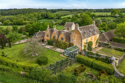
- Price
- Guide Price£1,995,000
- Size
- 37.7 acres
West Yatton, Yatton Keynell, Chippenham, Wiltshire, SN14, Yatton Keynell, Wiltshire SN14 England
Added on 14/05/2026Country Home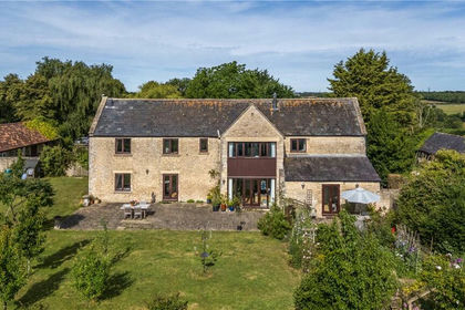
- Price
- Guide Price£1,950,000
- Size
- 11.02 acres
North Wraxall, Chippenham, Wiltshire, SN14, North Wraxall, Wiltshire SN14 England
Added on 05/09/2026House with Land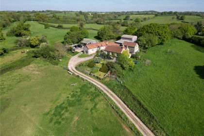
- Price
- Guide Price£1,950,000
- Size
- 23.32 acres
Farmhouse and Land, Upper Strode, Chew Stoke, Winford, North Somerset BS40 England
Added on 13/10/2026Country Estate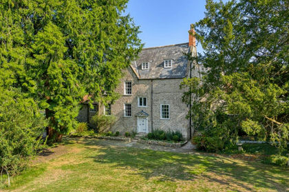
- Price
- Guide Price£2,000,000
- Size
- 25 acres
Manor house with circa 26 acres, a mile from Wells, St Cuthbert Out, Somerset BA5 England
Added on 29/01/2026Country Home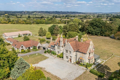
- Price
- Guide Price£2,750,000
- Size
- 50 acres
50 acres, dev. potential, Hornblotton, Shepton Mallet, BA4, West Bradley, Somerset BA4 England
Added on 22/05/2026Country Estate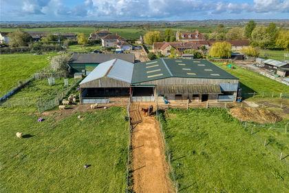
- Price
- Guide Price£1,900,000
- Size
- 57.91 acres
Added on 30/04/2026Smallholding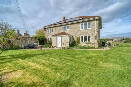
- Price
- Guide Price£1,900,000
- Size
- 57.91 acres
Moor Lane, Rodgrove, Wincanton, Wincanton, Somerset BA9 England
Added on 10/05/2026Farm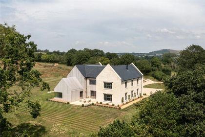
- Price
- Offers in Excess of£2,000,000
- Size
- 7.68 acres
Church Lane, East Orchard, Dorset, SP7, East Orchard, Dorset SP7 England
Added on 12/05/2026Country Home
- Price
- Offers in Excess of£2,000,000
- Size
- 7.68 acres
Harefield Farmhouse, Church Lane, East Orchard, East Orchard, Dorset SP7 England
Added on 12/05/2026Farmhouse
- Price
- Guide Price£2,500,000
- Size
- 159.25 acres
Chilthorne Domer, Yeovil, BA22, Yeovil, Somerset BA22 England
Added on 20/07/2026Livestock Farm