Horsehill, Horley
- Land size
- 2 acres
- Bedrooms
- 5
- Bathrooms
- 3
Key Features
- Historic Grade II listed unique home combining a Tudor hall house and elegant Georgian wing, dating back to the early 16th century
- Georgian wing featuring elegant reception rooms, high ceilings, sash windows, fireplaces and original period detailing
- Tudor wing showcasing exposed beams, oak doors, log burners and original architectural features
- Five well-proportioned bedrooms, with two bathrooms
- Principal bedroom with historic fireplace, exposed beams and en suite bathroom
- Outdoor swimming pool with panoramic views across rolling countryside towards the North Downs
- Substantial modern barn-style pool house with entertaining space, kitchen and changing facilities with shower
- Set within approximately 2 acres, including a natural lake, orchard, and mature gardens
- Arriving at a private gated driveway, providing parking for multiple vehicles
Description
There is something quietly compelling about Horsehills. A meeting of two architectural chapters; One began life as the Black Horse Coaching Inn, a Tudor hall house rooted firmly in Royal history. The other arrived later, in the Georgian era, bringing symmetry and proportion. Together, they create a unique home, where elegant receptions sit alongside centuries-old beams, and where every window frames greenery beyond.
Inside, the Georgian wing brings a sense of refinement. Painted in calm heritage tones, the rooms are defined by classical proportions, generous ceiling heights and large sash windows that draw natural light deep into the rooms. Decorative cast-iron radiators sit comfortably alongside original features, while ornate mantelpieces, tiled fireplaces and delicate cornicing speak to the craftsmanship of the period. These two reception rooms feel elegant without formality. Upstairs, three bedrooms continue the theme, each enjoying leafy outlooks and the sense of space that comes from thoughtful Regency design.
Cross into the Tudor wing and the atmosphere shifts. Here, exposed timbers, clay emulsion walls and wide floorboards tell the story of the building's earlier life. The kitchen feels entirely in keeping with its surroundings, combining oak beams, exposed brickwork, timber cabinetry and stone flooring into a room that is both practical and characterful. The current custodians have explored plans for a contemporary kitchen extension, offering future owners the opportunity to shape the next chapter of the home, subject to the necessary permissions.
At the heart of this wing is a cosy reception centred around a substantial fireplace, now home to a modern log burner. Beyond, a final reception, connected by oak doors, is a particularly inviting room enjoying a triple aspect and opens directly onto the garden. Painted brickwork, exposed beams and natural textures create a welcoming atmosphere throughout the seasons.
The principal bedroom occupies a special position, framed by historic beams and anchored by a beautiful brick and clay-tile fireplace, it's equally impressive and intimate. A generous en-suite bathroom adjoins, while a second vaulted bedroom occupies this wing. Connecting the two parts of the house is a central landing and family bathroom, ensuring the layout works as comfortably today as it has evolved over centuries.
Set within approximately two acres, the gardens unfold from the house in a series of spaces designed for enjoyment. Lawns invite impromptu games and family gatherings, while colourful planting softens the transition between house and countryside. Beyond, the swimming pool enjoys a spectacular outlook across rolling fields towards the North Downs. The modern barn-style pool house brings another dimension entirely. Doors open onto the poolside terrace, while a kitchen, changing facilities and generous entertaining space make it ideally suited to summer celebrations. Guests can arrive directly via the driveway, allowing gatherings to flow naturally. At the northern end, a natural lake offers a quieter pace of life. A walk around its boundary reveals ducks gliding across the water, carp beneath the surface and countless opportunities to pause with a coffee or a picnic.
History is woven into every part of Horsehills
Dating back to the early 16th century, the house began as a traditional Tudor hall house before later evolving into the Georgian home seen today. Once known as the Black Horse Coaching Inn, it occupied a prominent position on the historic route between London and Brighton. Local records suggest the land formed part of the former Chertsey Abbey estate before passing into Crown ownership under Henry VIII. Later, during the Regency period, the property became a regular stopping point for the Prince Regent, later George IV. While the world of grand carriages and aristocratic society has long disappeared, echoes of that era remain within the fabric of the building itself, from original timber framing to hand-carved carpenter's marks that have survived for more than five centuries.
Life Beyond Horsehills
Positioned between the historic market town of Reigate and the open countryside that rolls south, there is a distinctly rural feel here, with equestrian neighbours and far-reaching views. Yet for all its sense of seclusion, Horsehills is remarkably well connected. Reigate Road links the property directly with Reigate's historic high street, lined with independent boutiques, cafés, restaurants and traditional pubs.
Horley town centre and railway station are also close by for day-to-day convenience, while Gatwick Airport is within easy reach. Even the practical essentials are covered, with the Tesco Extra in Hookwood within a short drive, with its pharmacy, cafes, homeware and clothing. Families are equally well served by a selection of highly regarded schools across the wider Reigate and Surrey Hills area, making the location as practical as it is picturesque.
The surrounding countryside is one of the area's greatest assets. Public footpaths weave through nearby farmland and woodland, offering miles of walks from the doorstep. The village of Leigh provides a glimpse of rural Surrey at its most charming, with its historic church and much-loved village pub spilling out onto the green on warm summer afternoons.
The current custodians speak warmly of the life they have built here. Winters centred around crackling fires and cosy evenings indoors. Summers spent beside the pool, entertaining friends and family long into the evening. Fruit harvested from the orchard for baking and juicing. Wildlife passing through the grounds, from deer and buzzards to herons at the lake's edge. It is a home that offers space not only in terms of square footage, but in the way it allows everyday life to unfold.
Map Location
Property details
- Tenure
- Freehold
- Council Tax Band
- G
- Date Posted
- 2026-06-17
Market Value Analysis
Compared with 1,735 Homes with Land listings in South East England (1+ acres).
Utilities & Restrictions
Utilities
- Electricity
- Ask Agent
- Water
- Ask Agent
- Heating
- Ask Agent
- Broadband
- Ask Agent
- Sewerage
- Ask Agent
Rights & Restrictions
- Public Rights of Way
- Ask Agent
- Private Rights of Way
- Ask Agent
- Listed Property
- Ask Agent
- Restrictions
- Ask Agent
Listed status, conservation areas and planning constraints for this location are in the full report.
Property Features
- Accessibility
- Ask Agent
- Parking
- Covered Parking, Driveway
- Garden
- Garden
Beyond the particulars: planning activity, flood history, heritage and ground risks, checked for this exact spot.
Connectivity
Broadband
No premises records for this postcode, which is common for bare land and rural plots. A new connection would be quoted by the provider.
Mobile signal
No address-level signal records for this postcode, which is common for bare land.
Ofcom Connected Nations postcode-level predictions. Speeds and signal are modelled, not measured, and vary between addresses and providers.
Signal is the easy part. Planning activity, flood history and protected designations here are in the full report.
Nearest Schools
Primary
- Westvale Park Primary Academy1.2 milesOfsted: Good
- Ages
- 2 to 11
- Pupils
- 383
- Type
- Free schools
- Meath Green Junior School1.5 milesNo Ofsted rating
- Ages
- 7 to 11
- Pupils
- 350
- Type
- Community school
- Manorfield Primary and Nursery School1.7 milesOfsted: Good
- Ages
- 2 to 11
- Pupils
- 233
- Type
- Community school
- Meath Green Infant School1.8 milesOfsted report card · Jun 2026
- Ages
- 4 to 7
- Pupils
- 267
- Type
- Community school
- Charlwood Village Primary School1.9 milesNo Ofsted rating
- Ages
- 5 to 11
- Pupils
- 101
- Type
- Community school
Secondary
- Oakwood School2.5 milesOfsted report card · Feb 2026
- Ages
- 11 to 16
- Pupils
- 1,610
- Type
- Community school
- Reigate School2.9 milesOfsted: Good
- Ages
- 11 to 16
- Pupils
- 1,252
- Type
- Academy converter
- The Gatwick School3.7 milesOfsted: Good
- Ages
- 4 to 16
- Pupils
- 861
- Type
- Free schools
- Hazelwick School4.4 milesOfsted: Outstanding
- Ages
- 11 to 18
- Pupils
- 1,913
- Type
- Academy converter
- Ifield Community College4.5 milesNo Ofsted rating
- Ages
- 11 to 18
- Pupils
- 1,214
- Type
- Academy converter
Distances are straight-line from the advertised location. Source: the national school registers (DfE, Welsh Government, Scottish Government) and Ofsted.
Schools are just the start: sold prices nearby, planning activity and any flood history are in the full report.
Amenities
Supermarket
GP surgery
Pharmacy
Hospital
Straight-line distances from the advertised location. Sources: NHS records, Geolytix supermarket locations, OS Open Greenspace and the national trails registers.
The area stacks up? Now check the location itself: planning nearby, protected designations and past flooding.
Getting Around
Nearest station
Nearest bus stop
Typical drive times
Straight-line distances from the advertised location; drive times are typical free-flow times over OpenStreetMap road data, so allow more at peak. Public transport locations from DfT NaPTAN.
Easy to reach matters. So do planning activity, flood history and ground risks: all in the full report.
Flood Risk
Environment Agency open data, checked around the advertised map pin for the listed acreage. Long-term risk counts flood defences; the planning map's flood zones do not. Provided by LandSale, not the listing agent, and not part of the agent's particulars. Risk varies across a holding, so verify before committing.
Rivers and the sea
Planning map: Flood Zone 1.
Surface water
Not at the pin: mapped about 50 metres away.
These bandings are the summary. Where this location sits on the flood maps, plus planning activity, heritage and ground risks, is in the full report.
Important notice: Information, maps and tags on this page are drawn from the advertising agent's marketing materials or generated automatically. LandSale has not verified them. Relying on these details is at your own risk, always carry out independent checks before committing to a purchase.
LandSale full disclaimer
Marketing information only - not formal particulars. The details on this website are provided for general guidance and do not constitute an offer or contract. Neither LandSale nor the advertising estate/land agent accepts responsibility for any inaccuracy.
1. Source of information
- Listing content: Core description, asking price, tenure, measurements, photographs and planning history originate from the marketing materials of the advertising estate or land agent. LandSale does not author this content and cannot guarantee its accuracy.
- Automated tags & categorisation: Property type, land-use class, acreage bands and similar labels may be applied by machine-learning models. They are intended as a helpful guide only and may not reflect the property's legal status or permitted use.
- Third-party & enriched data layers: Maps, boundary outlines, planning designations, soil reports, broadband coverage and other environmental or location-based insights are licensed from external suppliers. Such data are supplied “as is", may be incomplete or out of date and are subject to change without notice.
2. Verification required
Prospective purchasers must verify critical matters, including but not limited to planning permission, title boundaries, public rights of way, environmental constraints, acreage, services, access and VAT status, through their own inspections, specialist surveys, legal advisers and the selling agent before relying on the information or entering into any contract.
3. No warranty or liability
LandSale gives no warranty, express or implied, as to the accuracy, completeness or fitness for any particular purpose of the information displayed. LandSale shall not be liable for any loss, damage, cost or expense arising directly or indirectly from any use of or reliance on such information, save where liability may not be excluded by law.
4. Updates & feedback
If you believe any detail on this listing is inaccurate, please let us know. We will investigate and, where appropriate, update the listing or notify the agent.
© LandSale | Version 1.3 - August 2026
Listing agent
Stone Estate Agency, Surrey & Sussex
14 West Street, Reigate, RH2 9BS
Similar properties for sale
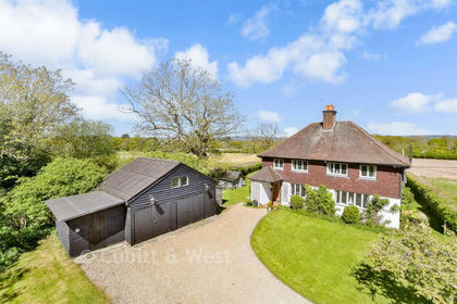
- Price
- Guide Price£1,395,000
- Size
- 1.59 acres
Duxhurst Lane, Reigate, Surrey, Salfords and Sidlow, Surrey RH2 England
Added on 20/05/2026House with Land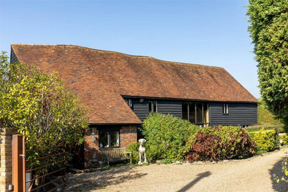
- Price
- Offers in Excess of£2,000,000
- Size
- 9.5 acres
Bunce Common Road, Leigh, Reigate, Leigh, Surrey RH2 England
Added on 01/10/2026Barn Conversion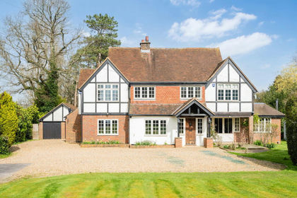
- Price
- Guide Price£1,750,000
- Size
- 1.3 acres
Added on 05/04/2026House with Land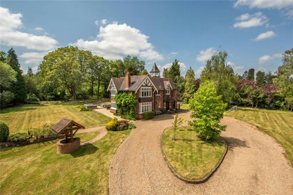
- Price
- Guide Price£1,350,000
- Size
- 5.5 acres
Partridge Lane, Rusper, Horsham, West Sussex, RH12, Newdigate, Surrey RH12 England
Added on 08/09/2026Country Home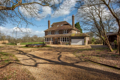
- Price
- Guide Price£1,750,000
- Size
- 5.6 acres
Rusper Road, Newdigate, Dorking, Surrey, RH5, Newdigate, Surrey RH5 England
Added on 26/03/2026House with Land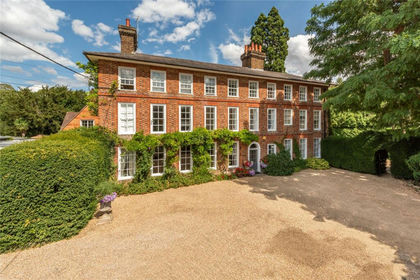
- Price
- Guide Price£1,695,000
- Size
- 1.85 acres
The Street, Betchworth, Surrey, RH3, Betchworth, Surrey RH3 England
Added on 09/09/2026House with Land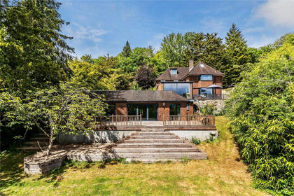
- Price
- Guide Price£1,999,950
- Size
- 1.2 acres
Reigate Hill, Reigate, Surrey, RH2, Reigate, Surrey RH2 England
Added on 20/05/2026House with Land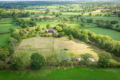
- Price
- Guide Price£1,950,000
- Size
- 6.9 acres
Temple Lane, Capel, Dorking, Surrey, RH5, Capel, Surrey RH5 England
Added on 01/10/2026Farmhouse
- Price
- Offers in Excess of£1,425,000
- Size
- 9 acres
Added on 07/10/2026Equestrian property
- Price
- Guide Price£1,495,000
- Size
- 3 acres
Wilmots Lane, Horne, Horley, Surrey, RH6, Horne, Surrey RH6 England
Added on 10/05/2026Cottage