Warehouse / Workshop, Popple Street, Hedon Road, Hull, East Yorkshire, HU9 1LP
- Land size
- 0.25 acres
Key Features
- Freehold Industrial warehouse / workshop.
- Large secured yard area with dual access from Hedon Road and Popple Street.
- Suitable for a variety of industrial uses.
- Located close to the A63 providing excellent cross city links and easy access to the M62 and wider motorway network.
- Immediate availability
Description
The premises consists of a double pitched steel frame industrial unit with brick infill to a height of 2.62m. The roof coverings are profile sheet cladding. The premises benefits from two large access shutters in the front elevation each measuring approx. 6m wide by 4.7m high.
Internally the property consists of an open workspace with steel support beams running down the centre. A suspended ceiling covers the whole floor space and measures approx. 5.42m to its underside. Ground floor office and staff amenities are provided.
Externally the property has a large wrap around yard of approximately 0.66 acres with dual access from both Hedon Road and Popple Street. The site is secured by perimeter double access gates at each entrance.
Map Location
Property details
- Tenure
- Ask Agent
- Council Tax Band
- Ask Agent
- Date Posted
- 2026-03-05
Energy Performance Certificate
Energy Efficiency Rating
Based on UK Energy Performance Certificate standards (EU Directive 2002/91/EC)
Utilities & Restrictions
Utilities
- Electricity
- Ask Agent
- Water
- Ask Agent
- Heating
- Ask Agent
- Broadband
- Ask Agent
- Sewerage
- Ask Agent
Rights & Restrictions
- Public Rights of Way
- Ask Agent
- Private Rights of Way
- Ask Agent
- Listed Property
- Ask Agent
- Restrictions
- Ask Agent
Property Features
- Accessibility
- Ask Agent
- Parking
- Ask Agent
- Garden
- Garden
Important notice: Information, maps and tags on this page are supplied by the advertising agent or generated automatically. LandSale has not verified them. Relying on these details is at your own risk, always carry out independent checks before committing to a purchase.
LandSale full disclaimer
Marketing information only - not formal particulars. The details on this website are provided for general guidance and do not constitute an offer or contract. Neither LandSale nor the advertising estate/land agent accepts responsibility for any inaccuracy.
1. Source of information
- Agent-supplied content: Core description, asking price, tenure, measurements, photographs and planning history are uploaded by the appointed agent, who remains solely responsible for their accuracy.
- Automated tags & categorisation: Property type, land-use class, acreage bands and similar labels may be applied by machine-learning models. They are intended as a helpful guide only and may not reflect the property's legal status or permitted use.
- Third-party & enriched data layers: Maps, boundary outlines, planning designations, soil reports, broadband coverage and other environmental or location-based insights are licensed from external suppliers. Such data are supplied “as is", may be incomplete or out of date and are subject to change without notice.
2. Verification required
Prospective purchasers must verify critical matters, including but not limited to planning permission, title boundaries, public rights of way, environmental constraints, acreage, services, access and VAT status, through their own inspections, specialist surveys, legal advisers and the selling agent before relying on the information or entering into any contract.
3. No warranty or liability
LandSale gives no warranty, express or implied, as to the accuracy, completeness or fitness for any particular purpose of the information displayed. LandSale shall not be liable for any loss, damage, cost or expense arising directly or indirectly from any use of or reliance on such information, save where liability may not be excluded by law.
4. Updates & feedback
If you believe any detail on this listing is inaccurate, please let us know. We will investigate and, where appropriate, update the listing or notify the agent.
© LandSale | Version 1.2 - January 2026
Similar properties for sale
- Price
- From£755,000
- Size
- 0.2 acres
Added on 28/01/2026Industrial Land
- Price
- £700,000
Added on 17/07/2026Pub
- Price
- Offers in Region of£650,000
- Size
- 0.33 acres
Added on 18/07/2026Redevelopment Land
- Price
- £575,000
- Size
- 0.32 acres
Added on 29/01/2026Warehouse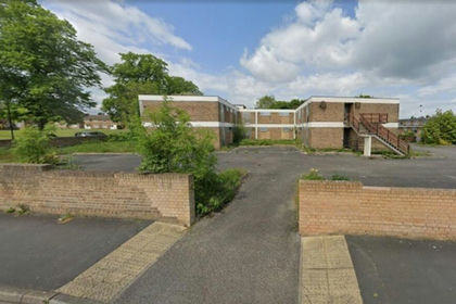
- Price
- POA
- Size
- 1 acres
Haynes House, Haynes Road, Thorne, Doncaster, DN8 5HU, Thorne, Doncaster DN8 5HN England
Added on 14/05/2026Development Land
- Price
- Guide Price£495,000
Added on 01/02/2026Industrial Land
- Price
- £695,000
- Size
- 1.69 acres
Added on 08/06/2026Pub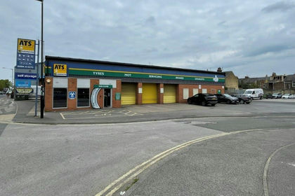
- Price
- Offers in Excess of£810,000
- Size
- 0.15 acres
Former ATS, 2 James Street, York, YO10 3WW, York Central, York YO10 3WW England
Added on 18/07/2026Commercial Land
- Price
- From£549,000
- Size
- 0.12 acres
5A The Crescent, York, North Yorkshire, YO24 1AW, York Central, York YO24 1AW England
Added on 11/05/2026Commercial Land Added on 28/01/2026Pub