Spacious Four Bedroom Property with Scenic Views in Barnham Broom
- Land size
- 1 acres
- Bedrooms
- 4
- Bathrooms
- 2
Key Features
- Guide Price £700,000 to £750,000.
- Four/Five Bedrooms
- Three Reception Rooms
- Utility Room
- En-Suite to Principal Bedroom and Two Further Bathrooms
- Potential for Multi-Generational Living
- Idyllic Norfolk Countryside and Church Views
- Double Garage
- Outline Planning For a Single Storey Rear Extension
- Over One Acre of Land (STMS)
Description
Guide Price £700,000 to £750,000.
Upon entering Hillcrest, you are welcomed by an exceptionally spacious entrance hall, currently arranged as a secondary sitting room, where the owners naturally gather around the fire in the winter months. This impressive introduction leads to three reception rooms, a ground floor shower room and the staircase.
The principal sitting room enjoys a bay window overlooking the delightful garden – a subtle nod to the home’s name – and features a charming brick-built fireplace, creating a warm and inviting atmosphere. The dining room, complete with a fireplace and inset log burner, flows into the modern kitchen, ideal for hosting, while a practical utility room to the rear provides garden access.
A particularly versatile room completes the ground floor. Currently used as a play room, it was designed with multi-generational living in mind and could easily serve as a ground floor bedroom, with a shower room opposite. This ‘wing’ offers potential to be closed off for privacy, and there is scope to extend further, subject to the necessary consents.
Upstairs are four well-proportioned bedrooms, three enjoying far-reaching views across the Norfolk countryside. The principal bedroom benefits from an en-suite, with the remaining rooms served by the family bathroom.
Set within just over an acre (stms), the grounds include space for growing vegetables, distant views of the church and ample room for family life outdoors. A double garage and generous shingle driveway provide parking for several vehicles. There is further potential to extend by infilling the existing ‘L’ shape, subject to the relevant permissions.
BARNHAM BROOM
Barnham Broom is a distinctive South Norfolk village, offering a balanced rural lifestyle within easy reach of both city and countryside. Positioned about 9 miles west of Norwich and 4 miles north west of Wymondham, it provides excellent connectivity for commuting, culture and amenities without compromising on tranquillity.
Life in Barnham Broom centres on genuine village life. The local shop and post office meet everyday needs, while The Bell Inn on Bell Road is a favourite gathering place for relaxed lunches and evening meals with neighbours. The village’s primary school and village hall ensure strong community rhythms, and regular activities help bring people together.
Just outside the main settlement lies the renowned Barnham Broom Hotel & Country Club, with two 18 hole golf courses, leisure and fitness facilities, spa and award winning brasserie, a hub for sport, socialising and wellness that adds a distinctive lifestyle dimension to the area.
For day to day shopping, cafés and a broader selection of independent boutiques, Wymondham and Norwich are easily accessible, with Norwich’s historic centre offering theatres, galleries, restaurants and boutique shops. The surrounding countryside invites walking, cycling and country pursuits, while the Norfolk Coast and Broads are within comfortable day trip reach.
Barnham Broom offers a lifestyle defined by community spirit, everyday practicality and access to outstanding leisure and cultural experiences, making it an appealing choice for families, professionals and those seeking a fulfilling Norfolk way of life.
SERVICES CONNECTED
Mains water and electricity. Septic tank. Central heating via bio mass pellet boiler to wet radiator system. Wet underfloor heating to kitchen and utility room.
COUNCIL TAX
Band D.
ENERGY EFFICIENCY RATING
D. Ref:- 0350-2064-1190-2295-7935.
To retrieve the Energy Performance Certificate for this property please visit and enter in the reference number above. Alternatively, the full certificate can be obtained through Sowerbys.
TENURE
Freehold.
LOCATION
What3words: ///lunged.acquaint.credit
AGENT’S NOTE
Outline planning for a proposed single storey rear extension, extending 6.5m from the rear wall of the original dwelling house, with a maximum height of 4.00m and an eaves height of 2.30m planning ref number is 2022/1604. Please contact Sowerbys for further information.
WEBSITE TAGS
Room-to-roam
Family-life
EPC Rating: D
Parking - Garage
Parking - Driveway
Disclaimer
These particulars are provided as a guide only and do not form part of any offer or contract. Sowerbys and its representatives have no authority to make or give representations or warranties. All descriptions, measurements, photographs and plans are for guidance only and should not be relied upon as statements of fact. Buyers should satisfy themselves as to the accuracy of the information through inspection or professional advice. Services, appliances and equipment have not been tested and no warranty can be given as to their condition. Planning permissions, building regulations and other consents should be verified by the buyer’s legal adviser. In accordance with Anti-Money Laundering regulations, proceeding buyers must complete a digital ID check through our compliance partner. A charge of £48 including VAT per sale or purchase applies. Leasehold buyers should confirm ground rent, service charges and lease details with their legal adviser.
Map Location
Property details
- Tenure
- Freehold
- Council Tax Band
- D
- Date Posted
- 2026-02-25
Market Value Analysis
Compared with 1,144 Homes with Land listings in East Anglia (1+ acres).
Energy Performance Certificate
Energy Efficiency Rating
Based on UK Energy Performance Certificate standards (EU Directive 2002/91/EC)
Running costs are one side. Planning activity, flood history and ground risks for this location are in the full report.
Utilities & Restrictions
Utilities
- Electricity
- Mains
- Water
- Mains
- Heating
- Ask Agent
- Broadband
- Ask Agent
- Sewerage
- Septic Tank / Private
Rights & Restrictions
- Public Rights of Way
- Ask Agent
- Private Rights of Way
- Ask Agent
- Listed Property
- Ask Agent
- Restrictions
- Ask Agent
Listed status, conservation areas and planning constraints for this location are in the full report.
Property Features
- Accessibility
- Ask Agent
- Parking
- Garage, Driveway
- Garden
- Private Garden
Beyond the particulars: planning activity, flood history, heritage and ground risks, checked for this exact spot.
Connectivity
Broadband
Fastest speed available at this postcode
80 Mbps
Superfast · available to 89% of premises
Suitable for
- HD streaming
- Video calls
- Web & social
Mobile signal
Predicted 4G and 5G signal; indoor signal depends on building materials.
Ofcom Connected Nations postcode-level predictions. Speeds and signal are modelled, not measured, and vary between addresses and providers.
Signal is the easy part. Planning activity, flood history and protected designations here are in the full report.
Nearest Schools
Primary
- Barnham Broom Church of England Voluntary Aided Primary School618 metresOfsted report card · Jun 2026
- Ages
- 4 to 11
- Pupils
- 94
- Type
- Voluntary aided school
- Faith
- Church of England
- Barford Primary School2 milesOfsted report card · Jun 2026
- Ages
- 4 to 11
- Pupils
- 87
- Type
- Community school
- Mattishall Primary School2.8 milesOfsted: Good
- Ages
- 4 to 11
- Pupils
- 164
- Type
- Academy sponsor led
- Hockering Church of England Primary Academy3.2 milesOfsted: Good *
- Ages
- 4 to 11
- Pupils
- 30
- Type
- Academy converter
- Faith
- Church of England
- Wicklewood Primary School and Nursery3.6 milesOfsted: Good *
- Ages
- 2 to 11
- Pupils
- 182
- Type
- Foundation school
Secondary
- Wymondham High Academy4.1 milesNo Ofsted rating
- Ages
- 11 to 18
- Pupils
- 1,686
- Type
- Academy converter
- Hethersett Academy5 milesNo Ofsted rating
- Ages
- 11 to 16
- Pupils
- 1,250
- Type
- Academy sponsor led
- Wymondham College5.9 milesOfsted: Outstanding
- Ages
- 11 to 18
- Pupils
- 1,427
- Type
- Academy converter
- Ormiston Victory Academy5.9 milesOfsted: Good *
- Ages
- 11 to 18
- Pupils
- 1,517
- Type
- Academy sponsor led
- Dereham Neatherd High School6.1 milesOfsted: Requires improvement *
- Ages
- 11 to 18
- Pupils
- 1,079
- Type
- Academy converter
* Latest graded judgement covers quality of education only; no overall grade was issued under the 2024-25 inspection framework.
Distances are straight-line from the advertised location. Source: the national school registers (DfE, Welsh Government, Scottish Government) and Ofsted.
Schools are just the start: sold prices nearby, planning activity and any flood history are in the full report.
Amenities
Supermarket
GP surgery
Pharmacy
Hospital
Green space
Straight-line distances from the advertised location. Sources: NHS records, Geolytix supermarket locations, OS Open Greenspace and the national trails registers.
The area stacks up? Now check the location itself: planning nearby, protected designations and past flooding.
Getting Around
Nearest station
Nearest bus stop
Typical drive times
Straight-line distances from the advertised location; drive times are typical free-flow times over OpenStreetMap road data, so allow more at peak. Public transport locations from DfT NaPTAN.
Easy to reach matters. So do planning activity, flood history and ground risks: all in the full report.
Flood Risk
Environment Agency open data, checked around the advertised map pin for the listed acreage. Long-term risk counts flood defences; the planning map's flood zones do not. Provided by LandSale, not the listing agent, and not part of the agent's particulars. Risk varies across a holding, so verify before committing.
Rivers and the sea
Planning map: Flood Zone 1.
Surface water
Not at the pin: mapped about 30 metres away.
These bandings are the summary. Where this location sits on the flood maps, plus planning activity, heritage and ground risks, is in the full report.
Important notice: Information, maps and tags on this page are drawn from the advertising agent's marketing materials or generated automatically. LandSale has not verified them. Relying on these details is at your own risk, always carry out independent checks before committing to a purchase.
LandSale full disclaimer
Marketing information only - not formal particulars. The details on this website are provided for general guidance and do not constitute an offer or contract. Neither LandSale nor the advertising estate/land agent accepts responsibility for any inaccuracy.
1. Source of information
- Listing content: Core description, asking price, tenure, measurements, photographs and planning history originate from the marketing materials of the advertising estate or land agent. LandSale does not author this content and cannot guarantee its accuracy.
- Automated tags & categorisation: Property type, land-use class, acreage bands and similar labels may be applied by machine-learning models. They are intended as a helpful guide only and may not reflect the property's legal status or permitted use.
- Third-party & enriched data layers: Maps, boundary outlines, planning designations, soil reports, broadband coverage and other environmental or location-based insights are licensed from external suppliers. Such data are supplied “as is", may be incomplete or out of date and are subject to change without notice.
2. Verification required
Prospective purchasers must verify critical matters, including but not limited to planning permission, title boundaries, public rights of way, environmental constraints, acreage, services, access and VAT status, through their own inspections, specialist surveys, legal advisers and the selling agent before relying on the information or entering into any contract.
3. No warranty or liability
LandSale gives no warranty, express or implied, as to the accuracy, completeness or fitness for any particular purpose of the information displayed. LandSale shall not be liable for any loss, damage, cost or expense arising directly or indirectly from any use of or reliance on such information, save where liability may not be excluded by law.
4. Updates & feedback
If you believe any detail on this listing is inaccurate, please let us know. We will investigate and, where appropriate, update the listing or notify the agent.
© LandSale | Version 1.3 - August 2026
Similar properties for sale
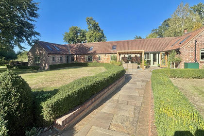
- Price
- Offers in Excess of£825,000
- Size
- 1.5 acres
Norwich Road, Colton, Norfolk, NR9, Honingham, Norfolk NR9 England
Added on 24/09/2026Barn Conversion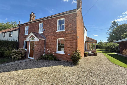
- Price
- Offers in Region of£600,000
- Size
- 1.97 acres
The Street, Wramplingham, Wramplingham, Norfolk NR18 England
Added on 06/09/2026House with Land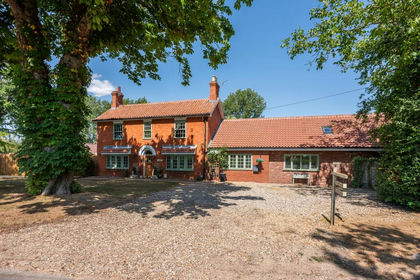
- Price
- Offers Over£800,000
- Size
- 1.1 acres
Brakefield Green, Yaxham, Dereham, Yaxham, Norfolk NR19 England
Added on 10/08/2026House with Land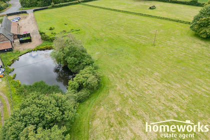
- Price
- Offers in Region of£650,000
- Size
- 5 acres
Added on 11/05/2026Barn Conversion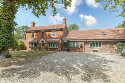
- Price
- £800,000
- Size
- 1.1 acres
Red House Farm, Brakefield Green, Mattishall, Norfolk NR20 England
Added on 08/08/2026House with Land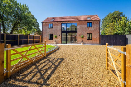
- Price
- Guide Price£600,000
Added on 08/08/2026Barn Conversion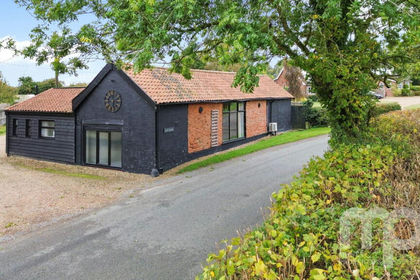 Added on 29/01/2026Barn Conversion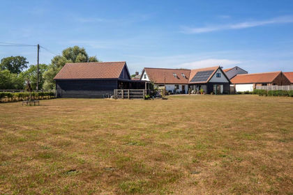
- Price
- Guide Price£850,000
- Size
- 1 acres
Added on 14/08/2026Barn Conversion
- Price
- £750,000
- Size
- 4 acres
Period Property with Private Riverside Access in Costessey, Costessey, Norfolk NR8 England
Added on 15/07/2026Cottage
- Price
- Guide Price£850,000
Added on 17/02/2026Barn Conversion