Auction: Thursday 3 December 2026
Plot of land, Bankwood, Biggar Road, Carnwath, ML118JT
Key Features
- HUGE DEVELOPMENT POTENTIAL â?? Substantial, level and rectangular plot with excellent potential for residential development or a detached countryside home, strictly subject to planning permission.
- NEIGHBOURING DEVELOPMENT PRECEDENT â?? Adjacent plots have previously secured planning permission, with substantial detached residential properties now constructed. Encouraging potential for developme
- LOW-COST LAND INVESTMENT â?? Exciting opportunity to acquire an affordable parcel of land with significant potential for future enhancement, capital appreciation and longer-term investment.
- VERSATILE LAND WITH MULTIPLE USES â?? Suitable for consideration for horse grazing, equestrian activities, paddock or agricultural use, with potential commercial or storage opportunities.
- ATTRACTIVE RURAL LOCATION â?? Situated within the picturesque South Lanarkshire countryside near Carnwath, offering peaceful surroundings and convenient access to Lanark, Biggar and surrounding areas.
Description
** SALE BY AUCTION - 03 December 2026 - Timed Online Auction **
SUBSTANTIAL LEVEL LAND PLOT â?? EXCITING RESIDENTIAL DEVELOPMENT POTENTIAL â?? CARNWATH SUPERB LOW-COST LAND INVESTMENT OPPORTUNITY WITH HUGE POTENTIAL! SIZEABLE, LEVEL AND RECTANGULAR PLOT IN AN ATTRACTIVE RURAL LOCATION NEAR CARNWATH. ADJACENT PLOTS HAVE PREVIOUSLY SECURED PLANNING PERMISSION, WITH SUBSTANTIAL DETACHED PROPERTIES NOW CONSTRUCTED. EXCELLENT POTENTIAL FOR A BUILDING PLOT, SUBJECT TO PLANNING. Future Property Auctions are delighted to present this substantial parcel of land situated within the picturesque South Lanarkshire countryside, close to the popular village of Carnwath. The plot benefits from a REGULAR RECTANGULAR SHAPE AND LEVEL TOPOGRAPHY, making it an attractive and versatile opportunity for developers, self-builders, investors and equestrian enthusiasts. SIGNIFICANT RESIDENTIAL DEVELOPMENT POTENTIAL! Adjacent plots have previously been granted planning permission, with substantial detached residential properties now constructed and occupied. This neighbouring development provides an encouraging precedent for purchasers wishing to explore the possibility of creating their own detached countryside residence, strictly subject to obtaining the necessary planning permission. LOW-COST PLOT WITH HUGE POTENTIAL FOR CAPITAL APPRECIATION AND FUTURE DEVELOPMENT! An exciting opportunity to acquire land in an established rural setting where neighbouring plots have already been successfully developed for residential use. The land also offers a variety of alternative potential uses, including HORSE GRAZING, EQUESTRIAN ACTIVITIES, PADDOCK USE, AGRICULTURAL PURPOSES AND POTENTIAL COMMERCIAL OR STORAGE USE, subject to any necessary planning and statutory consents. Enjoying an attractive countryside location, the plot offers convenient access to Carnwath, Lanark, Biggar and the wider Central Belt. RARE OPPORTUNITY TO ACQUIRE AN AFFORDABLE, LEVEL AND VERSATILE PARCEL OF LAND WITH EXCITING POTENTIAL FOR RESIDENTIAL DEVELOPMENT, EQUESTRIAN USE OR LONG-TERM INVESTMENT. EXCELLENT OPPORTUNITY FOR DEVELOPERS, SELF-BUILDERS AND LAND INVESTORS â?? EARLY INTEREST ANTICIPATED! IMPORTANT: No planning permission for residential development on the subject plot has been confirmed. Previous permissions granted for neighbouring properties do not guarantee consent for this site. Purchasers should make their own enquiries with South Lanarkshire Council regarding planning potential and satisfy themselves regarding access, services, boundaries and title conditions prior to bidding.
Carnwath is an attractive rural village situated within the picturesque South Lanarkshire countryside, approximately 7 miles from Lanark and 10 miles from Biggar. The area is popular for its peaceful surroundings, open countryside and convenient access to the wider Central Belt. The village offers a range of local amenities including shops, a primary school, traditional pubs and recreational facilities. The nearby towns of Lanark and Biggar provide a wider selection of supermarkets, restaurants, schools and leisure amenities. Carnwath benefits from convenient road connections via the A70 and A721, providing access towards Edinburgh, Glasgow and surrounding towns. Rail services are available from Carstairs and Lanark, offering further connections throughout the Central Belt. The combination of attractive countryside, established residential development and convenient transport connections makes Carnwath an appealing location for land purchasers, investors and those exploring potential residential development opportunities, subject to planning.
Auction Details
03 December 2026, 10am-3pm
Timed Online Auction
How to Bid Now
Submit an enquiry now or visit our website for full details on how to BID ON THIS PROPERTY.
Future Property Auctions - Scotland's Largest Land and Property Auction House. Over 700 lots available with weekly auctions including flats, houses, land & commercial.
Get a Fast Sale and a Fair Price with Future Property Auctions. Contact Us now for a FREE Auction Valuation.
Map Location
Property details
- Tenure
- Ask Agent
- Council Tax Band
- Ask Agent
- Date Posted
- 2026-11-20
Utilities & Restrictions
Utilities
- Electricity
- Ask Agent
- Water
- Ask Agent
- Heating
- Ask Agent
- Broadband
- Ask Agent
- Sewerage
- Ask Agent
Rights & Restrictions
- Public Rights of Way
- Ask Agent
- Private Rights of Way
- Ask Agent
- Listed Property
- Ask Agent
- Restrictions
- Ask Agent
Listed status, conservation areas and planning constraints for this location are in the full report.
Property Features
- Accessibility
- Ask Agent
- Parking
- Ask Agent
- Garden
- Garden
Beyond the particulars: planning activity, flood history, heritage and ground risks, checked for this exact spot.
Connectivity
Broadband
Fastest speed available at this postcode
1.8 Gbps
Gigabit full fibre · available to 75% of premises
Suitable for
- 4K streaming on every screen
- Full-time home working
- Online gaming & big downloads
Mobile signal
Predicted 4G and 5G signal; indoor signal depends on building materials.
Ofcom Connected Nations postcode-level predictions. Speeds and signal are modelled, not measured, and vary between addresses and providers.
Signal is the easy part. Planning activity, flood history and protected designations here are in the full report.
Nearest Schools
Primary
- Carnwath Primary School0.7 miles
- Pupils
- 124
- Type
- Non-denominational
- Carstairs Junction Primary School1.7 miles
- Pupils
- 77
- Type
- Non-denominational
- Carstairs Primary School2.6 miles
- Pupils
- 111
- Type
- Non-denominational
- Libberton Primary School2.7 miles
- Pupils
- 36
- Type
- Non-denominational
- Braehead Primary School3.7 miles
- Pupils
- 32
- Type
- Non-denominational
Secondary
- Lanark Grammar School6 miles
- Pupils
- 1,143
- Type
- Non-denominational
- Biggar High School6.2 miles
- Pupils
- 637
- Type
- Non-denominational
- Carluke High School8.5 miles
- Pupils
- 1,118
- Type
- Non-denominational
- Lesmahagow High School11 miles
- Pupils
- 634
- Type
- Non-denominational
- Calderhead High School11 miles
- Pupils
- 558
- Type
- Non-denominational
Distances are straight-line from the advertised location. Source: the national school registers (DfE, Welsh Government, Scottish Government) and Ofsted.
Schools are just the start: planning activity, heritage and any flood history here are in the full report.
Amenities
Supermarket
GP surgery
Pharmacy
Green space
Walking trail
Straight-line distances from the advertised location. Sources: NHS records, Geolytix supermarket locations, OS Open Greenspace and the national trails registers.
The area stacks up? Now check the location itself: planning nearby, protected designations and past flooding.
Getting Around
Nearest station
Nearest bus stop
Typical drive times
Straight-line distances from the advertised location; drive times are typical free-flow times over OpenStreetMap road data, so allow more at peak. Public transport locations from DfT NaPTAN.
Easy to reach matters. So do planning activity, flood history and ground risks: all in the full report.
Flood Risk
SEPA open data, checked around the advertised map pin for the listed acreage. Provided by LandSale, not the listing agent, and not part of the agent's particulars. Risk varies across a holding, so verify before committing.
Rivers and the sea
Surface water
Not at the pin: mapped about 20 metres away.
These bandings are the summary. Where this location sits on the flood maps, plus planning activity, heritage and ground risks, is in the full report.
Important notice: Information, maps and tags on this page are drawn from the advertising agent's marketing materials or generated automatically. LandSale has not verified them. Relying on these details is at your own risk, always carry out independent checks before committing to a purchase.
LandSale full disclaimer
Marketing information only - not formal particulars. The details on this website are provided for general guidance and do not constitute an offer or contract. Neither LandSale nor the advertising estate/land agent accepts responsibility for any inaccuracy.
1. Source of information
- Listing content: Core description, asking price, tenure, measurements, photographs and planning history originate from the marketing materials of the advertising estate or land agent. LandSale does not author this content and cannot guarantee its accuracy.
- Automated tags & categorisation: Property type, land-use class, acreage bands and similar labels may be applied by machine-learning models. They are intended as a helpful guide only and may not reflect the property's legal status or permitted use.
- Third-party & enriched data layers: Maps, boundary outlines, planning designations, soil reports, broadband coverage and other environmental or location-based insights are licensed from external suppliers. Such data are supplied “as is", may be incomplete or out of date and are subject to change without notice.
2. Verification required
Prospective purchasers must verify critical matters, including but not limited to planning permission, title boundaries, public rights of way, environmental constraints, acreage, services, access and VAT status, through their own inspections, specialist surveys, legal advisers and the selling agent before relying on the information or entering into any contract.
3. No warranty or liability
LandSale gives no warranty, express or implied, as to the accuracy, completeness or fitness for any particular purpose of the information displayed. LandSale shall not be liable for any loss, damage, cost or expense arising directly or indirectly from any use of or reliance on such information, save where liability may not be excluded by law.
4. Updates & feedback
If you believe any detail on this listing is inaccurate, please let us know. We will investigate and, where appropriate, update the listing or notify the agent.
© LandSale | Version 1.3 - August 2026
Similar properties for sale
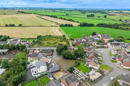
- Price
- Offers Over£57,000
Draffan Gardens, Netherburn, Hamilton and Clyde Valley, South Lanarkshire ML9 Scotland
Added on 29/01/2026Building Plot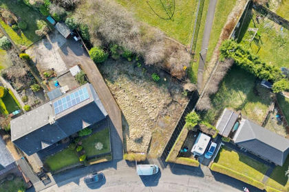
- Price
- Offers in Region of£35,000
Church Street, Harthill, Shotts, Airdrie and Shotts, North Lanarkshire ML7 Scotland
Added on 26/06/2026Building Plot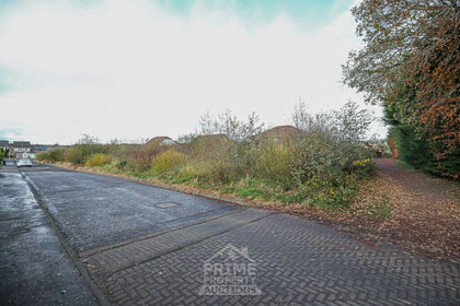
- Price
- Guide Price£60,000
Land Off Murieston Mews / Nevis Drive Livingston EH54, Livingston, West Lothian EH54 Scotland
Added on 18/11/2026Development Land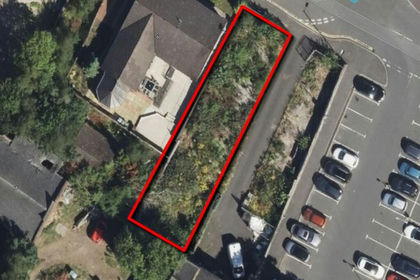
- Price
- Guide Price£48,000
Added on 02/07/2026Development Land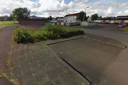
- Price
- Guide Price£56,000
Land at Howard Street, Larkhall, ML92LY, Hamilton and Clyde Valley, South Lanarkshire ML9 Scotland
Added on 02/07/2026Building Plot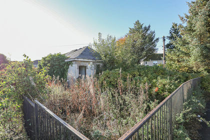
- Price
- Guide Price£25,000
Added on 23/10/2026Development Land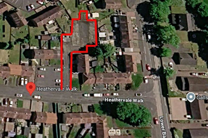
- Price
- Guide Price£29,000
Added on 30/10/2026Development Land
- Price
- Fixed Price£36,000
Athol Terrace, Bathgate, EH48, Bathgate and Linlithgow, West Lothian EH48 Scotland
Added on 07/03/2026Building Plot
- Price
- Offers Over£30,000
- Size
- 0.12 acres
Added on 29/01/2026Development Land
- Price
- Guide Price£45,000
- Size
- 1 acres
Land North Of 31 Davidson Street, Airdrie, ML6, Airdrie and Shotts, North Lanarkshire ML6 Scotland
Added on 04/08/2026Development Land