Church Road, Sundridge, Sevenoaks
- Land size
- 1.5 acres
- Bedrooms
- 5
- Bathrooms
- 4
Key Features
- Highly Individual Attached Former Coach House
- Refurbished to a High Specification Throughout & Five Bedrooms
- Reception Hallway, Elegant Drawing Room & Snug/Study
- Impressive Kitchen/Family Room with Rencraft Kitchen & Dining Room
- Ground Floor Guest Bedroom Suite & Cloakroom
- Three Further Bath/Shower Rooms
- Sweeping Gravel Driveway
- Brick Garden Outhouse/Gym
- Superb Landscaped Gardens & Grounds
- Total Plot Extending to Just under 1.5 Acres
Description
This highly individual attached former coach house forms part of an impressive Victorian mansion, dating back to 1874, set within stunning landscaped gardens including mature woodland providing an exceptional backdrop. Meticulously renovated throughout by the present owners including the addition of a stunning central oak staircase with glazed walkway linking the principal bedroom suite. Architectural features, stone elevations and mullioned windows combine character with a modern finish, ideal for family life.
Accommodation - •The property is approached via a shared private driveway leading to a sweeping gravel driveway, providing ample parking and turning space with elegant stone façade and steps leading to the covered entrance door.
•You enter the property through an impressive timber door into the welcoming dual aspect entrance hallway flooded with natural light and ceramic tiled flooring. A stone framed doorway connects to the dining room with bespoke oak staircase, rising to a glazed galleried landing with atrium providing perfectly framed views over the rear gardens and grounds. Modern fitted cloakroom and cupboard housing fuse boards and gas fired boiler providing underfloor heating throughout the ground floor accommodation.
•Accessed via double doors from the hallway is the formal sitting room enjoying elegant proportions with central stone fireplace and stove, full height windows and French doors opening out onto the terrace. An archway leads though to the family snug/study with window and door to garden and further stove for a cosy feel.
•Further enhancing flexibility is the ground floor guest bedroom suite enjoying wall to wall fitted wardrobes and contemporary ensuite shower room.
•Seamlessly accessed from the dining room the striking kitchen/family room forms the hub of the home, the family area enjoying a vaulted ceiling with Apex window offering glorious views over the garden, exposed stonework, focal contemporary stove, fitted cupboards and shelving and French doors leading out onto the terrace.
•Bespoke Rencraft oak kitchen fitted with a comprehensive range of wall mounted cabinets and base units including central island with butcher’s block and dining table extensions, finished with smart granite worktops and upstands. Appliances include range oven with six burner gas hob, microwave, wine cooler, Neff warming drawer and dishwasher and space for American style fridge/freezer. Matching utility room having ample coat and shoe storage, ceramic sink, spaces for appliances and door providing side access.
•First floor glazed oak galleried landing linking the master bedroom suite having bespoke fitted storage, skylight window and vaulted ensuite bathroom with modern contemporary fittings, twin basins and walk in shower enclosure.
•A small set of oak stairs connect via a landing area with large airing cupboard and fitted book shelving to the three further double bedrooms, one with ensuite and a contemporary family shower room completing the accommodation to the first floor.
•Superb, westerly landscaped gardens and grounds, including mature woodland to the rear extending to just under 1.5 acres. Substantial Indian stone terrace ideal for al fresco dining with glorious views, predominantly laid to extensive areas of lawn with established borders, hedging and trees. Charming original garden walling and versatile brick outhouse currently utilised as a gym, garden shed, log store, external power, water and lighting.
•Services: All main services. Gas central heating, underfloor heating to the ground floor. Extension and works including significant rewiring and windows with wood surrounds throughout the property completed in 2009.
•Council tax band: G – Sevenoaks District Council.
•EPC: C
Situation - Greystone cottage is situated in a small enclave of properties on the outskirts of Sundridge, forming part of an impressive Victorian mansion, dating back to 1874, a short distance from village amenities including Sundridge and Brasted primary school, local shop and post office, newly refurbished White Horse Inn, medical centre, community hall and antique/furniture shops. Nearby are many areas protected by the National Trust such as Brasted Chart and Toys Hill. The thriving town of Sevenoaks is less than four miles away with an excellent selection of supermarkets, high street stores, cafés, bars and restaurants, leisure centre and Stag Theatre. The locality is renowned for its choice of schooling, with primary and secondary levels at both the state and private sectors, including primaries in Westerham, Chevening and Ide Hill. Radnor House in Sundridge, Sevenoaks Prep School, New Beacon, Walthamstow Hall, Solefield School and Knole Academy in Sevenoaks along with St Michael’s and Russell House in Otford, Trinity School, Weald of Kent Grammar School for girls, Sevenoaks School and Tonbridge Public School and the grammar schools in Sevenoaks, Tonbridge and Tunbridge Wells. Mainline rail services can be found at Sevenoaks to London Bridge/Cannon Street/Charing Cross/Waterloo and Oxted. Set on the A25, Sundridge village is ideally suited for convenient access to both the M25 at Chipstead, linking to the A21 the Kent coast, airports and Bluewater shopping centre.
Map Location
Property details
- Tenure
- Freehold
- Council Tax Band
- G
- Date Posted
- 2026-10-27
Market Value Analysis
Compared with 1,684 Homes with Land listings in South East England (1+ acres).
Energy Performance Certificate
Energy Efficiency Rating
Based on UK Energy Performance Certificate standards (EU Directive 2002/91/EC)
Running costs are one side. Planning activity, flood history and ground risks for this location are in the full report.
Utilities & Restrictions
Utilities
- Electricity
- Mains
- Water
- Mains
- Heating
- Gas Central Heating
- Broadband
- Ask Agent
- Sewerage
- Mains
Rights & Restrictions
- Public Rights of Way
- Ask Agent
- Private Rights of Way
- Ask Agent
- Listed Property
- Ask Agent
- Restrictions
- Ask Agent
Listed status, conservation areas and planning constraints for this location are in the full report.
Property Features
- Accessibility
- Ask Agent
- Parking
- Private Parking
- Garden
- Garden
Beyond the particulars: planning activity, flood history, heritage and ground risks, checked for this exact spot.
Connectivity
Broadband
Fastest speed available at this postcode
1 Gbps
Superfast · available to 75% of premises
Suitable for
- 4K streaming on every screen
- Full-time home working
- Online gaming & big downloads
Mobile signal
Predicted 4G and 5G signal; indoor signal depends on building materials.
Ofcom Connected Nations postcode-level predictions. Speeds and signal are modelled, not measured, and vary between addresses and providers.
Signal is the easy part. Planning activity, flood history and protected designations here are in the full report.
Nearest Schools
Primary
- Sundridge and Brasted Church of England Voluntary Controlled Primary School496 metresOfsted: Good
- Ages
- 4 to 11
- Pupils
- 78
- Type
- Voluntary controlled school
- Faith
- Church of England
- Chevening, St Botolph's Church of England Voluntary Aided Primary School1.5 milesOfsted: Good
- Ages
- 5 to 11
- Pupils
- 196
- Type
- Voluntary aided school
- Faith
- Church of England
- Ide Hill Church of England Primary School1.5 milesNo Ofsted rating
- Ages
- 4 to 11
- Pupils
- 154
- Type
- Voluntary aided school
- Faith
- Church of England
- Amherst School1.8 milesOfsted: Good
- Ages
- 7 to 11
- Pupils
- 385
- Type
- Academy converter
- Riverhead Infants' School2 milesOfsted: Good
- Ages
- 5 to 7
- Pupils
- 264
- Type
- Community school
Secondary
- Knole Academy2.8 milesNo Ofsted rating
- Ages
- 11 to 19
- Pupils
- 1,410
- Type
- Academy sponsor led
- Trinity School3.7 milesNo Ofsted rating
- Ages
- 11 to 19
- Pupils
- 1,153
- Type
- Free schools
- Faith
- Christian
- Charles Darwin School4.7 milesOfsted: Good
- Ages
- 11 to 18
- Pupils
- 1,305
- Type
- Academy converter
- Oxted School5.6 milesOfsted report card · Mar 2026
- Ages
- 11 to 18
- Pupils
- 1,528
- Type
- Academy converter
- St Olave's and St Saviour's Grammar School6.7 milesOfsted: Outstanding *
- Ages
- 11 to 18
- Pupils
- 1,084
- Type
- Voluntary aided school
- Faith
- Church of England
- Gender
- Boys
* Latest graded judgement covers quality of education only; no overall grade was issued under the 2024-25 inspection framework.
Distances are straight-line from the advertised location. Source: the national school registers (DfE, Welsh Government, Scottish Government) and Ofsted.
Schools are just the start: sold prices nearby, planning activity and any flood history are in the full report.
Amenities
Supermarket
GP surgery
Pharmacy
Hospital
Green space
Straight-line distances from the advertised location. Sources: NHS records, Geolytix supermarket locations, OS Open Greenspace and the national trails registers.
The area stacks up? Now check the location itself: planning nearby, protected designations and past flooding.
Getting Around
Nearest station
Nearest bus stop
Typical drive times
Straight-line distances from the advertised location; drive times are typical free-flow times over OpenStreetMap road data, so allow more at peak. Public transport locations from DfT NaPTAN.
Easy to reach matters. So do planning activity, flood history and ground risks: all in the full report.
Flood Risk
Environment Agency open data, checked around the advertised map pin for the listed acreage. Long-term risk counts flood defences; the planning map's flood zones do not. Provided by LandSale, not the listing agent, and not part of the agent's particulars. Risk varies across a holding, so verify before committing.
Rivers and the sea
Planning map: Flood Zone 1.
Surface water
These bandings are the summary. Where this location sits on the flood maps, plus planning activity, heritage and ground risks, is in the full report.
Important notice: Information, maps and tags on this page are drawn from the advertising agent's marketing materials or generated automatically. LandSale has not verified them. Relying on these details is at your own risk, always carry out independent checks before committing to a purchase.
LandSale full disclaimer
Marketing information only - not formal particulars. The details on this website are provided for general guidance and do not constitute an offer or contract. Neither LandSale nor the advertising estate/land agent accepts responsibility for any inaccuracy.
1. Source of information
- Listing content: Core description, asking price, tenure, measurements, photographs and planning history originate from the marketing materials of the advertising estate or land agent. LandSale does not author this content and cannot guarantee its accuracy.
- Automated tags & categorisation: Property type, land-use class, acreage bands and similar labels may be applied by machine-learning models. They are intended as a helpful guide only and may not reflect the property's legal status or permitted use.
- Third-party & enriched data layers: Maps, boundary outlines, planning designations, soil reports, broadband coverage and other environmental or location-based insights are licensed from external suppliers. Such data are supplied “as is", may be incomplete or out of date and are subject to change without notice.
2. Verification required
Prospective purchasers must verify critical matters, including but not limited to planning permission, title boundaries, public rights of way, environmental constraints, acreage, services, access and VAT status, through their own inspections, specialist surveys, legal advisers and the selling agent before relying on the information or entering into any contract.
3. No warranty or liability
LandSale gives no warranty, express or implied, as to the accuracy, completeness or fitness for any particular purpose of the information displayed. LandSale shall not be liable for any loss, damage, cost or expense arising directly or indirectly from any use of or reliance on such information, save where liability may not be excluded by law.
4. Updates & feedback
If you believe any detail on this listing is inaccurate, please let us know. We will investigate and, where appropriate, update the listing or notify the agent.
© LandSale | Version 1.3 - August 2026
Contact James Millard Estate Agents, Hildenborough
178 Tonbridge Road, Hildenborough, TN11 9HP
View agent profileSimilar properties for sale
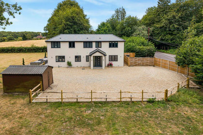
- Price
- £1,595,000
- Size
- 1 acres
Goathurst Common, Ide hill, Sundridge with Ide Hill, Kent TN14 England
Added on 25/07/2026House with Land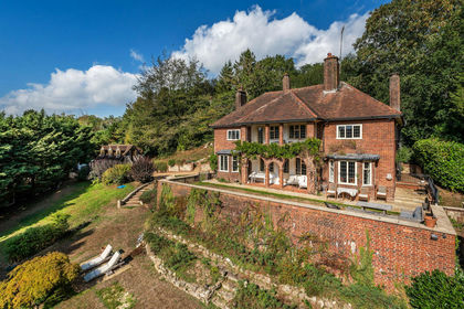
- Price
- Guide Price£1,850,000
- Size
- 1.3 acres
Farley Lodge, Farley Lane, Westerham, Kent, Westerham, Kent TN16 England
Added on 23/10/2026House with Land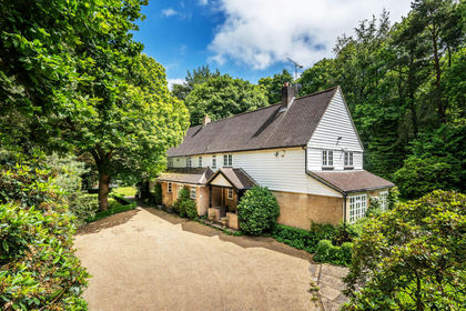
- Price
- Guide Price£1,750,000
- Size
- 1.22 acres
Goodley Stock Road, Crockham Hill, Kent, TN8, Westerham, Kent TN8 England
Added on 29/01/2026House with Land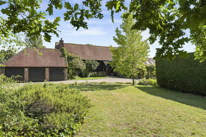
- Price
- £2,250,000
- Size
- 1 acres
Added on 26/06/2026Barn Conversion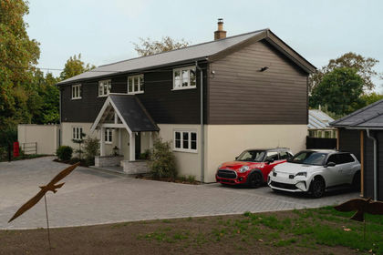
- Price
- Offers Over£2,000,000
- Size
- 1.9 acres
Twitton Lane, Otford, Sevenoaks, TN14, Otford, Kent TN14 England
Added on 24/09/2026House with Land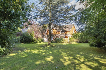
- Price
- Guide Price£1,895,000
- Size
- 4.7 acres
Added on 23/09/2026House with Land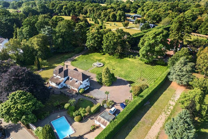
- Price
- Guide Price£2,250,000
- Size
- 1.8 acres
Rushmore Hill, Knockholt, Sevenoaks, Knockholt, Kent TN14 England
Added on 01/07/2026House with Land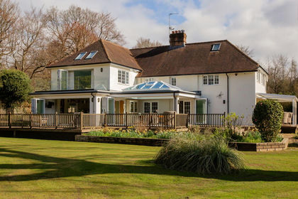
- Price
- Offers Over£2,350,000
- Size
- 1 acres
Ridlands Lane, Limpsfield Chart, Oxted, Surrey, RH8, Limpsfield, Surrey RH8 England
Added on 08/09/2026House with Land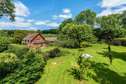
- Price
- Guide Price£1,650,000
- Size
- 1.1 acres
Itchingwood Common Road, Limpsfield, Oxted, Surrey, RH8, Limpsfield, Surrey RH8 England
Added on 23/04/2026Farmhouse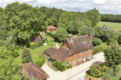
- Price
- Offers in Excess of£2,000,000
- Size
- 3 acres
Tonbridge Road, Bough Beech, Sevenoaks, Kent, TN8, Chiddingstone, Kent TN8 England
Added on 19/10/2026Cottage