Sharps Brewery, Pityme Business Centre, St. Minver, Wadebridge, PL27
- Land size
- 3.62 acres
- Use Class
- Use Class: B2
Key Features
- To be sold with Vacant Possession
- Development opportunity STPP
- Low site coverage
- Open storage
- Asset management opportunities
- Established industrial area
- Continued brewing use is possible
- Desirable tourist destination
- Affluent area
Description
Comprising a substantial and well-configured commercial facility, that is purpose-built to support modern brewing, production, and distribution operations. The accommodation is arranged across a series of interconnected industrial units, providing a combination of high-quality production space with existing brewing equipment (inventory available on request), cask packaging capability, a large variety of conditioning / fermentation tanks, chilled & ambient warehousing, and ancillary offices. The buildings benefit from a range of eaves heights, level access, doc loading doors and recently installed cooling system.
Externally, the site offers a large yard area for servicing, loading, and vehicle circulation, with additional car parking provision for staff and visitors. The property is fitted with specialist plant and infrastructure appropriate to its current use, including drainage, power supply, and ventilation systems, making it highly functional for continued industrial or manufacturing occupation. The site is well suited to both owner-occupiers and developers. The site may also be suitable to other uses subject to necessary consents.This site also bring the opportunity for repurposing and redevelopment. The eastern fringe of the industrial park has new been redeveloped to provide 20 small light industrial units [REF: PA19/09885].
Location
This property sits in a coastal setting on the north Cornwall shoreline, within 1.5 miles of the affluent harbour village of Rock and the popular tourist destination of Padstow across the Camel Estuary. Part of the well-established Pityme Industrial Estate, the space offers excellent connectivity
to Wadebridge and the wider North Cornwall catchment. The Estate is within 5 miles of the A39 main road. Bodmin Parkway Railway Station is approximately 30 minutes drive away.
Its strategic location combines year-round local trade with significant seasonal footfall driven by Cornwall’s tourism economy. There is currently onsite tap room for visitors from nearby seaside towns.
The wider industrial market across Wadebridge and the North Cornwall coast is relatively supply constrained, with limited availability of modern trade and warehouse accommodation, underpinning strong occupational demand from local marine, food production, tourism-supporting and
lifestyle businesses. The location benefits from proximity to the affluent holiday destinations of Rock and Padstow, while still providing practical connectivity to the A39 and wider Cornwall road network.
Terms
Available by way of freehold tenure with vacant possession. Title No. CL269434, Title No. CL198245 , Title No. CL139871, Title No. CL46690, Title No. CL116828, Title No. CL111184, Title No. CL239547, Title No. CL199845, Title No. CL129248, Title No. CL103740.
Specifications
* Site Coverage: 3.617 acres
* x8 Roller Shutter Doors
* x3 Level Access Doors
* LED lighting
* CCTV in operation
* Power Supply - 1110 KVA
Data Room
For access to the data room contact
EPC
Available upon request.
AML
In accordance with Anti-Money Laundering requirements, two forms of identification will be required from the purchaser or tenant and any beneficial owner together with evidence/ proof identifying the source of funds being relied upon to complete the transaction.
VAT
Unless otherwise stated terms are strictly exclusive of Value Added Tax and interested parties must satisfy themselves as to the incidence of this tax in the subject case
LEGAL COSTS
Each party to be responsible for their own legal costs
PROPOSAL
Offers are invited in excess of £2,850,000 on an unconditional basis only.
INSPECTIONS
Through sole agents via appointment.
Map Location
Property details
- Tenure
- Freehold
- Council Tax Band
- Ask Agent
- Date Posted
- 2026-10-26
Utilities & Restrictions
Utilities
- Electricity
- Ask Agent
- Water
- Ask Agent
- Heating
- Ask Agent
- Broadband
- Ask Agent
- Sewerage
- Ask Agent
Rights & Restrictions
- Public Rights of Way
- Ask Agent
- Private Rights of Way
- Ask Agent
- Listed Property
- Ask Agent
- Restrictions
- Ask Agent
Listed status, conservation areas and planning constraints for this location are in the full report.
Property Features
- Accessibility
- Ask Agent
- Parking
- Ask Agent
- Garden
- Ask Agent
Beyond the particulars: planning activity, flood history, heritage and ground risks, checked for this exact spot.
Connectivity
Broadband
Fastest speed available at this postcode
1 Gbps
Superfast
Suitable for
- 4K streaming on every screen
- Full-time home working
- Online gaming & big downloads
Fixed wireless access may also be an option here.
Mobile signal
Predicted 4G and 5G signal; indoor signal depends on building materials.
Ofcom Connected Nations postcode-level predictions. Speeds and signal are modelled, not measured, and vary between addresses and providers.
Signal is the easy part. Planning activity, flood history and protected designations here are in the full report.
Nearest Schools
Primary
- St Minver School219 metresNo Ofsted rating
- Ages
- 2 to 11
- Pupils
- 175
- Type
- Academy converter
- Padstow School2.6 milesOfsted: Good
- Ages
- 2 to 11
- Pupils
- 157
- Type
- Academy converter
- St Issey Church of England Primary School3.2 milesOfsted: Good
- Ages
- 2 to 11
- Pupils
- 124
- Type
- Academy converter
- Faith
- Church of England
- St Breock Primary School3.3 milesNo Ofsted rating
- Ages
- 4 to 11
- Pupils
- 203
- Type
- Academy converter
- Wadebridge Primary Academy3.4 milesOfsted: Good
- Ages
- 2 to 11
- Pupils
- 373
- Type
- Academy converter
Secondary
- Wadebridge School3.4 milesOfsted: Good
- Ages
- 11 to 16
- Pupils
- 1,018
- Type
- Academy converter
- Bodmin College10 milesOfsted: Requires improvement *
- Ages
- 11 to 18
- Pupils
- 1,236
- Type
- Academy converter
- Sir James Smith's School10 milesNo Ofsted rating
- Ages
- 11 to 16
- Pupils
- 588
- Type
- Academy converter
- Treviglas Academy11 milesOfsted: Good *
- Ages
- 11 to 18
- Pupils
- 872
- Type
- Academy sponsor led
- Newquay Tretherras12 milesNo Ofsted rating
- Ages
- 11 to 18
- Pupils
- 1,614
- Type
- Academy converter
* Latest graded judgement covers quality of education only; no overall grade was issued under the 2024-25 inspection framework.
Distances are straight-line from the advertised location. Source: the national school registers (DfE, Welsh Government, Scottish Government) and Ofsted.
Schools are just the start: sold prices nearby, planning activity and any flood history are in the full report.
Amenities
Supermarket
GP surgery
Pharmacy
Hospital
Straight-line distances from the advertised location. Sources: NHS records, Geolytix supermarket locations, OS Open Greenspace and the national trails registers.
The area stacks up? Now check the location itself: planning nearby, protected designations and past flooding.
Getting Around
Nearest station
Nearest bus stop
Typical drive times
Straight-line distances from the advertised location; drive times are typical free-flow times over OpenStreetMap road data, so allow more at peak. Public transport locations from DfT NaPTAN.
Easy to reach matters. So do planning activity, flood history and ground risks: all in the full report.
Flood Risk
Environment Agency open data, checked around the advertised map pin for the listed acreage. Long-term risk counts flood defences; the planning map's flood zones do not. The map pin for this listing marks the postcode area rather than the exact location, so these readings describe the surrounding area. Provided by LandSale, not the listing agent, and not part of the agent's particulars. Risk varies across a holding, so verify before committing.
Rivers and the sea
Planning map: Flood Zone 1.
Surface water
Not at the pin: mapped about 20 metres away.
These bandings are the summary. Where this location sits on the flood maps, plus planning activity, heritage and ground risks, is in the full report.
Important notice: Information, maps and tags on this page are drawn from the advertising agent's marketing materials or generated automatically. LandSale has not verified them. Relying on these details is at your own risk, always carry out independent checks before committing to a purchase.
LandSale full disclaimer
Marketing information only - not formal particulars. The details on this website are provided for general guidance and do not constitute an offer or contract. Neither LandSale nor the advertising estate/land agent accepts responsibility for any inaccuracy.
1. Source of information
- Listing content: Core description, asking price, tenure, measurements, photographs and planning history originate from the marketing materials of the advertising estate or land agent. LandSale does not author this content and cannot guarantee its accuracy.
- Automated tags & categorisation: Property type, land-use class, acreage bands and similar labels may be applied by machine-learning models. They are intended as a helpful guide only and may not reflect the property's legal status or permitted use.
- Third-party & enriched data layers: Maps, boundary outlines, planning designations, soil reports, broadband coverage and other environmental or location-based insights are licensed from external suppliers. Such data are supplied “as is", may be incomplete or out of date and are subject to change without notice.
2. Verification required
Prospective purchasers must verify critical matters, including but not limited to planning permission, title boundaries, public rights of way, environmental constraints, acreage, services, access and VAT status, through their own inspections, specialist surveys, legal advisers and the selling agent before relying on the information or entering into any contract.
3. No warranty or liability
LandSale gives no warranty, express or implied, as to the accuracy, completeness or fitness for any particular purpose of the information displayed. LandSale shall not be liable for any loss, damage, cost or expense arising directly or indirectly from any use of or reliance on such information, save where liability may not be excluded by law.
4. Updates & feedback
If you believe any detail on this listing is inaccurate, please let us know. We will investigate and, where appropriate, update the listing or notify the agent.
© LandSale | Version 1.3 - August 2026
Contact Vail Williams, Birmingham
Edmund House, 12-22 Newhall Street, Birmingham, B3 3EF
View agent profileSimilar properties for sale
- Price
- POA
- Size
- 1 acres
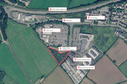
Land South of Tesco Superstore, West Hill, Wadebridge, PL27, St. Breock, Cornwall PL27 England
Added on 11/11/2026Development Land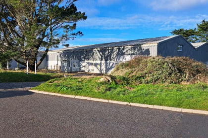
- Price
- £900,000
- Size
- 1.11 acres
Unit A Trecerus Industrial Estate, Padstow, Cornwall, PL28, Padstow, Cornwall PL28 England
Added on 17/07/2026Warehouse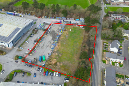
- Price
- £400,000
- Size
- 1.08 acres
Added on 29/01/2026Development Land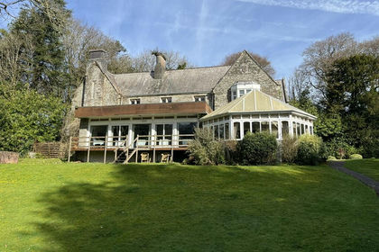
- Price
- Offers in Region of£1,250,000
- Size
- 16.9 acres
Lanteglos Hotel and Villas, Lanteglos, Camelford, PL32, Camelford, Cornwall PL32 England
Added on 16/11/2026Hotel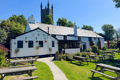
- Price
- £1,500,000
- Size
- 1.5 acres
The Crown Inn, Lanlivery, Bodmin, Cornwall, PL30, Lanlivery, Cornwall PL30 England
Added on 18/09/2026Pub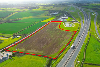
- Price
- POA
- Size
- 8.4 acres
Added on 06/11/2026Development Land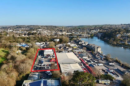
- Price
- £1,500,000
- Size
- 1.05 acres
Investment Opportunity, Edhen Park, Harvey Road, Truro, Truro, Cornwall TR4 England
Added on 24/06/2026Commercial Land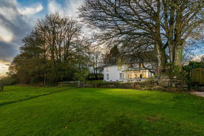
- Price
- £1,685,000
- Size
- 15 acres
Trenderway Farm, Pelynt, Cornwall, Pelynt, Cornwall PL13 England
Added on 29/09/2026Commercial Land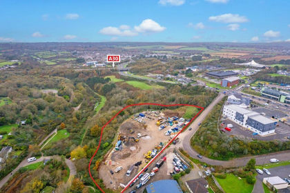
- Price
- Guide Price£500,000
- Size
- 2.31 acres
Gas Lane, Camborne, Cornwall, TR14, Carn Brea, Cornwall TR14 England
Added on 17/07/2026Development Land
- Price
- Offers in Excess of£1,800,000
- Size
- 10 acres
The Crooked Inn, Stoketon, Trematon, Saltash, Saltash, Cornwall PL12 England
Added on 28/01/2026Commercial Land