Boonhill Road, Fadmoor, York
- Land size
- 5.41 acres
- Bedrooms
- 5
- Bathrooms
- 4
Description
A unique rural property commanding a delightful, elevated position, allowing uninterrupted views to the south and east across a great extent of Ryedale and beyond, situated within the North York Moors National Park.
The well-appointed accommodation allows for flexible living space and comprises the principal farmhouse (subject to an agricultural occupancy clause), two self-contained residential apartments, together with surrounding gardens, grounds and ancillary grassland, with an established shelterbelt.
Boon Hill Farmhouse is located in a rural position and yet easily accessible to the local market towns of Kirkbymoorside, Helmsley and the city of York further afield. The elevated position of the dwelling house allows for outstanding views across the Vale of Pickering and beyond. The property is approached along a sweeping tarmacadam driveway through the grass paddocks leading to the house.
VIEWING ESSENTIAL
In all 5.41 acres (2.19 ha) or thereabouts
Boon Hill House - Principle Residence -
Accommodation -
On The Ground Floor -
Entrance Hallway - 4.85m x 3.28m (15'11" x 10'9") - Open timber staircase to first floor, timber glazed door, timber double glazed windows to the front, radiator.
Study - 3.07 x 2.52 (10'0" x 8'3") - Fitted office desk and shelving, timber double glazed window to the side, radiator.
Boot Room - 3.02 x 2.69 (9'10" x 8'9") - Range of base and wall mounted units, single stainless steel sink and drainer, tiled splashback, stable door to front, timber glazed windows to front.
Utility Room - 2.13 x 2.13 (6'11" x 6'11") - Range of base and wall mounted units, plumbing for washing machine and tumble drier, low flush wc, pedestal wash hand basin, cupboard housing hot water cylinder, ceiling mounted pulley clothes airer, opaque timber double glazed windows to the side.
Kitchen - 4.14 x6.05 (13'6" x19'10") - Range of base and wall mounted units, marble work surface, breakfast island, double composite sink and drainer with chrome flexi-spray tap, AGA range, integral dishwasher, timber beamed ceiling, timber double glazed windows to both sides, radiator, bifold doors to the rear, to provide a delightful al fresco dining area out onto the south-facing patio area.
Sitting / Dining Room - 8.40 x 7.15 (27'6" x 23'5") - Triple aspect timber double glazed windows to the front and rear, cast iron wood burning stove on stone and timber surround and timber mantelpiece, exposed timber beams, dividing brick and timber bookshelf, 3 no. radiators, timber glazed doors to the garden room.
Garden Room - 4.39 x 5.29 (14'4" x 17'4") - Timber frame, uPVC double glazed windows and double doors to the rear, timber bifold doors to the side, under floor heating, rooflight.
To The First Floor -
Landing - 5.23 x 3.25 (17'1" x 10'7" ) - Connecting door to Annexe bedroom, timber double glazed window to the front, fitted bookshelf.
Bedroom 1 (Ne) - 3.64 x 4.30 (11'11" x 14'1" ) - Dual aspect timber framed windows to the side and rear, fitted wardrobes, radiator, sliding door to dressing room.
Dressing Room - 3.30 x 3.80 (10'9" x 12'5") - Timber framed window to the rear, fitted wardrobes and shelving.
En-Suite Shower Room - 2.44 x 1.22 (8'0" x 4'0" ) - Three piece suite comprising shower cubicle, low flush wc, pedestal wash hand basin.
Bedroom 2 (Se) - 4.19 x 3.78 (13'8" x 12'4") - Dual aspect timber double glazed window to the side and rear, front, radiator.
Bedroom 3 (Sw) - 4.52 x 3.29 (14'9" x 10'9") - Dual aspect timber double glazed window to the front and side, radiator.
Family Bathroom - 2.46 x 1.96 (8'0" x 6'5") - Three piece suite comprising panelled bath the shower over, low flush wc, pedestal wash hand basin, partially tiled, timber double glazed window to the side.
Ground Floor Apartment -
Reception Room - 3.70 x 5.95 (12'1" x 19'6") - Dual aspect uPVC double glazed windows to the front and side, double doors to the front, Range of base and wall mounted units, tiled splash back, breakfast island, 1 ½ stainless steel sink and drainer with chrome mixer tap over, stable door to the front, integral electric oven and grill, radiator.
Bedroom - 2.68 x 3.78 (8'9" x 12'4") - uPVC double glazed window to the side.
Wet Room - 2.64m x 1.52m (8'8" x 5') - Three piece suite comprising shower cubicle, low flush wc, pedestal wash hand basin, fully tiled, chrome heated towel rail, opaque uPVC double glazed window to the front.
First Floor Apartment -
Reception Room - 4.47 x 4.03 (14'7" x 13'2") - Dual aspect timber double glazed windows to the front and side, doors to terrace, range of base units, tiled splash back, stainless steel sink and drainer with chrome mixer tap over, integral electric oven and grill, with ceramic hob over, radiator, electric storage heater.
Bedroom - 4.47 x 4.65 (14'7" x 15'3") - Timber double glazed window to the front, fitted cupboards.
Shower Room - Three piece suite comprising corner shower cubicle, low flush wc, pedestal wash hand basin, fully tiled, chrome heated towel rail, rooflight.
Outside - To the outside, the property is approached via a private driveway which is flanked by the grassland and sweeps to the front and rear of the farmhouse. There are delightful gardens and grounds to all sides. To the front of the property is an attractive lawned garden which is elevated, and a stone Ha-Ha creates an open vista across the grassland and open countryside beyond. To the west of the house, the garden extends with herbaceous borders, patio seating area and garden shed.
To the rear of the property there is a good sized hardstanding area, providing ample parking for multiple vehicles, flanked by further herbaceous borders. Beyond, the grassland is bordered by a well-established woodland shelterbelt.
General Information -
Location - The property is situated in a highly attractive rural setting within the North York Moors National Park, to the north of the village of Fadmoor.
Services - We understand that the property is connected to mains electricity and water supply, septic tank drainage and oil-fired central heating. The services have not been tested but we have assumed that they are in working order and consistent with the age of the property.
Tenure - Freehold with vacant possession upon completion.
Rights Of Way - None known
Wayleaves And Easements - The land is sold subject to all wayleaves and easements whether mentioned in these particulars or not.
Viewing - Strictly by appointment with the Agents, BoultonCooper. Tel: .
What3words - ///splints.fuzzy.roadmap
Planning - We understand that Boon Hill House is subject to an agricultural occupancy clause whereby the occupation of the house is limited to a person solely or mainly employed or last employed in the locality in agriculture or in forestry (including any dependent of such a person residing with them) or a widow or widower of such a person.
Council Tax Band - Boon Hill Farmhouse - Band E
Ground Floor Apartment - Band A
First Floor Apartment - Band A
Prospective purchasers are advised to check this information for themselves with North Yorkshire Council .
Energy Performance Rating - Farmhouse: Band D
Ground Floor Apartment: Band D
First Floor Apartment: Band D
The full EPC's can be viewed online ( or at our Malton Office.
Plans, Areas And Schedules - The plans provided and areas stated in these sales particulars are for guidance only and are subject to verification with the title deeds.
Anti-Money Laundering Regulations - The Agent must comply with Anti Money Laundering regulations. As part of the requirements, the Agent must obtain evidence of the identity and proof of address of potential buyers. Prior to an offer being accepted, all parties who are purchasing must provide the necessary evidence.
Method Of Sale - For Sale by Private Treaty. Interested Parties are asked to register their interest with the selling agents. This is particularly important for those who have downloaded the sales particulars from the website. The vendor reserves the right to conclude the sale by any means.
Joint Selling Agent - Newtons LDP. All enquiries via BoultonCooper (Henry Scott)
Key Contact - Henry Scott m:
Boulton Cooper - About Us: - BoultonCooper is the region’s most established estate agency, offering a dynamic and highly professional services. We provide the largest independent network of offices in the Ryedale area (with offices in Malton, Pickering, and Helmsley), together with offices in York, Haxby, Easingwold, Boroughbridge, Knaresborough and Selby which assists in making our properties available to as wide a captive audience as possible. We specialise in the sale of town and country properties and have a significant mailing list of registered parties who are actively looking for this type of property in this locality.
Do register with us at .
Map Location
Property details
- Tenure
- Freehold
- Council Tax Band
- F
- Date Posted
- 2026-10-14
Market Value Analysis
Compared with 192 Homes with Land listings in Yorkshire and The Humber (5+ acres).
Energy Performance Certificate
Energy Efficiency Rating
Based on UK Energy Performance Certificate standards (EU Directive 2002/91/EC)
Running costs are one side. Planning activity, flood history and ground risks for this location are in the full report.
Utilities & Restrictions
Utilities
- Electricity
- Ask Agent
- Water
- Ask Agent
- Heating
- Ask Agent
- Broadband
- Ask Agent
- Sewerage
- Ask Agent
Rights & Restrictions
- Public Rights of Way
- Ask Agent
- Private Rights of Way
- Ask Agent
- Listed Property
- Ask Agent
- Restrictions
- Ask Agent
Listed status, conservation areas and planning constraints for this location are in the full report.
Property Features
- Accessibility
- Ask Agent
- Parking
- Parking Available
- Garden
- Garden
Beyond the particulars: planning activity, flood history, heritage and ground risks, checked for this exact spot.
Connectivity
Broadband
Fastest speed available at this postcode
2 Mbps
Under 10 Mbps here
Suitable for
- Basic browsing & email
Fixed wireless access may also be an option here.
Mobile signal
Predicted 4G and 5G signal; indoor signal depends on building materials.
Ofcom Connected Nations postcode-level predictions. Speeds and signal are modelled, not measured, and vary between addresses and providers.
Signal is the easy part. Planning activity, flood history and protected designations here are in the full report.
Nearest Schools
Primary
- Gillamoor Church of England Voluntary Controlled Primary School0.9 milesNo Ofsted rating
- Ages
- 4 to 11
- Pupils
- 61
- Type
- Voluntary controlled school
- Faith
- Church of England
- Kirkbymoorside Community Primary School3.1 milesOfsted: Good
- Ages
- 3 to 11
- Pupils
- 181
- Type
- Academy converter
- Nawton Community Primary School3.8 milesOfsted report card · Mar 2026
- Ages
- 3 to 11
- Pupils
- 90
- Type
- Community school
- Rosedale Abbey Community Primary School4.5 milesOfsted: Good
- Ages
- 3 to 11
- Pupils
- 15
- Type
- Community school
- Sinnington Community Primary School5.3 milesNo Ofsted rating
- Ages
- 2 to 11
- Pupils
- 110
- Type
- Academy converter
Secondary
- Ryedale School4.2 milesOfsted: Outstanding
- Ages
- 11 to 16
- Pupils
- 698
- Type
- Academy converter
- Lady Lumley's Academy8.5 milesOfsted: Good
- Ages
- 11 to 18
- Pupils
- 676
- Type
- Academy sponsor led
- Malton School13 milesOfsted: Good
- Ages
- 11 to 18
- Pupils
- 999
- Type
- Academy converter
- Stokesley School14 milesOfsted: Good
- Ages
- 11 to 18
- Pupils
- 1,079
- Type
- Academy converter
- Norton School15 milesOfsted: Good
- Ages
- 11 to 18
- Pupils
- 651
- Type
- Academy converter
Distances are straight-line from the advertised location. Source: the national school registers (DfE, Welsh Government, Scottish Government) and Ofsted.
Schools are just the start: sold prices nearby, planning activity and any flood history are in the full report.
Amenities
Supermarket
GP surgery
Pharmacy
Hospital
Straight-line distances from the advertised location. Sources: NHS records, Geolytix supermarket locations, OS Open Greenspace and the national trails registers.
The area stacks up? Now check the location itself: planning nearby, protected designations and past flooding.
Getting Around
Nearest station
Nearest bus stop
Typical drive times
Straight-line distances from the advertised location; drive times are typical free-flow times over OpenStreetMap road data, so allow more at peak. Public transport locations from DfT NaPTAN.
Easy to reach matters. So do planning activity, flood history and ground risks: all in the full report.
Flood Risk
Environment Agency open data, checked around the advertised map pin for the listed acreage. Long-term risk counts flood defences; the planning map's flood zones do not. Provided by LandSale, not the listing agent, and not part of the agent's particulars. Risk varies across a holding, so verify before committing.
Rivers and the sea
Planning map: Flood Zone 1.
Surface water
Not at the pin: mapped about 70 metres away.
These bandings are the summary. Where this location sits on the flood maps, plus planning activity, heritage and ground risks, is in the full report.
Important notice: Information, maps and tags on this page are drawn from the advertising agent's marketing materials or generated automatically. LandSale has not verified them. Relying on these details is at your own risk, always carry out independent checks before committing to a purchase.
LandSale full disclaimer
Marketing information only - not formal particulars. The details on this website are provided for general guidance and do not constitute an offer or contract. Neither LandSale nor the advertising estate/land agent accepts responsibility for any inaccuracy.
1. Source of information
- Listing content: Core description, asking price, tenure, measurements, photographs and planning history originate from the marketing materials of the advertising estate or land agent. LandSale does not author this content and cannot guarantee its accuracy.
- Automated tags & categorisation: Property type, land-use class, acreage bands and similar labels may be applied by machine-learning models. They are intended as a helpful guide only and may not reflect the property's legal status or permitted use.
- Third-party & enriched data layers: Maps, boundary outlines, planning designations, soil reports, broadband coverage and other environmental or location-based insights are licensed from external suppliers. Such data are supplied “as is", may be incomplete or out of date and are subject to change without notice.
2. Verification required
Prospective purchasers must verify critical matters, including but not limited to planning permission, title boundaries, public rights of way, environmental constraints, acreage, services, access and VAT status, through their own inspections, specialist surveys, legal advisers and the selling agent before relying on the information or entering into any contract.
3. No warranty or liability
LandSale gives no warranty, express or implied, as to the accuracy, completeness or fitness for any particular purpose of the information displayed. LandSale shall not be liable for any loss, damage, cost or expense arising directly or indirectly from any use of or reliance on such information, save where liability may not be excluded by law.
4. Updates & feedback
If you believe any detail on this listing is inaccurate, please let us know. We will investigate and, where appropriate, update the listing or notify the agent.
© LandSale | Version 1.3 - August 2026
Listing agent
BoultonCooper, Malton
St. Michaels House, Market Place, Malton, YO17 7LR
Similar properties for sale
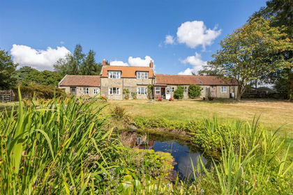
- Price
- Guide Price£625,000
- Size
- 4.56 acres
Rudland, Fadmoor, York, Fadmoor, North Yorkshire YO62 England
Added on 28/08/2026House with Land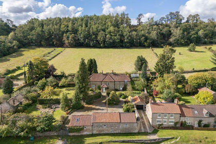
- Price
- Guide Price£955,000
- Size
- 3.3 acres
Hutton-Le-Hole, York, Hutton-le-Hole, North Yorkshire YO62 England
Added on 28/01/2026House with Land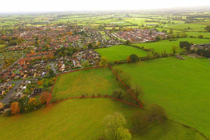
- Price
- Guide Price£650,000
- Size
- 2.1 acres
Keld Head Road, York, Kirkbymoorside, North Yorkshire YO62 England
Added on 29/01/2026Development Land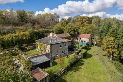
- Price
- Offers in Excess of£845,000
- Size
- 2 acres
Hutton-Le-Hole, York, Hutton-le-Hole, North Yorkshire YO62 England
Added on 29/01/2026House with Land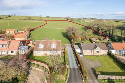
- Price
- Guide Price£895,000
- Size
- 8.18 acres
Lytel Garth, Keldholme, Kirkbymoorside, York, Kirkbymoorside, North Yorkshire YO62 England
Added on 09/04/2026House with Land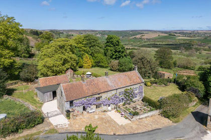
- Price
- Guide Price£865,000
- Size
- 6.5 acres
Danby Head, Castleton, North York Moors National Park, Danby, North Yorkshire YO21 England
Added on 26/07/2026House with Land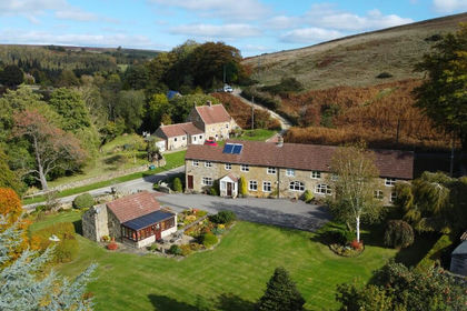
- Price
- Guide Price£895,000
- Size
- 12.05 acres
Ashfield House, Ashfield Road, Castleton, YO21, Danby, North Yorkshire YO21 England
Added on 28/01/2026House with Land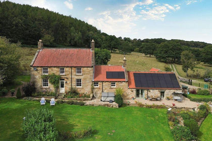
- Price
- Guide Price£895,000
- Size
- 8 acres
Murk Esk Cottage, Goathland, Egton, North Yorkshire YO22 England
Added on 17/09/2026House with Land
- Price
- Guide Price£650,000
- Size
- 23.4 acres
Added on 29/01/2026Barn Conversion
- Price
- Offers in Region of£950,000
- Size
- 11 acres
Millfield House, Scugdale Road, Swainby, Whorlton, North Yorkshire DL6 England
Added on 29/08/2026House with Land