North Perrott, Crewkerne, Somerset, TA18
- Bedrooms
- 4
- Bathrooms
- 3
Description
A contemporary architecturally designed barn conversion situated on the edge of the pretty village of North Perrott, surrounded by woodland and fields, with very light and well-proportioned rooms, with garden and studio.
THE PROPERTY
Situated on the edge of the pretty village of North Perrott, first glimpses of 1 Stonehaven Barns are most impressive, with its pretty cladding of Clear Side Scandinavian larch (30 year guarantee), with a Kingspan Quadcore high insulation Composite roof and Thermoblock wall insulation.
The property is set well back from the lane approached by a sweeping drive leading to a number of allocated parking spaces, plus a further numbered space in the timber frame carport. To the rear of the carport is a full height, double door with a store, ideal for bicycles, lawnmowers etc. To the front of the property there is a gravelled area with porcelain paths.
On first entering this property, there is a real sense of space and light with a fabulous and sizeable kitchen, dining, eating, and family area with a log burner. The kitchen incorporates a number of bespoke units, including a built in dishwasher, eye level double oven and five-ring induction hob with a large kitchen island. This kitchen exemplifies modern living, with French doors leading out from the kitchen area, and three bi-fold doors from the sitting area, directly into the garden. The entire property is immaculately presented with double-glazed tilt turn windows throughout with integral blinds and plantation shutters in the main sitting room. Many of the rooms have fantastic, vaulted ceilings and oak wooden doors. The property can safely be described as an eco-house; incredibly energy efficient with heating via an air source heat pump and underfloor heating throughout with heating thermostats in all rooms. To the side of the kitchen is a boiler room and separate utility cupboard with fittings for a washing machine.
There are four beautiful bedrooms in total, one family bathroom, and two ensuite shower rooms and a guest cloakroom. All the bedrooms have TV and telephone/datapoints.
The garden to the rear of the property is a delight and mainly made to lawn with very large porcelain paved patio area, and a part covered seating area. There are a few better places for a morning cup of coffee or evening glass of wine. There is also post and rail fencing overlooking a meadow.
Also in the garden and worth a special mention is the purpose-built fully insulated office building, designed by the Chelsea Flower Show designer James Gray, and constructed of the same larch clad style as the house with floor to ceiling double glazed windows featuring modesty blinds. It also has full electricity and lighting with separate fuse board, 13-amp sockets and USB points.
All in all, this is a truly wonderful property in an idyllic yet very convenient location.
LOCATION
The spectacular landscape of this beautiful county is regarded as some of the finest in the South West. North Perrott is ideally positioned amidst this landscape, an attractive village with a thriving community, parish church, licensed village hall and cricket club which host many social events throughout the year, as well being home to the renowned, award winning Perrott Hill independent prep school. The gastropub The White Horse is in nearby Haselbury Plucknett with the Winyard's Gap, Chedington, and The Lord Poulett Arms pub/restaurant in Hinton St George, all highly rated locally and a short drive away.
Under 15 miles away is the stunning Jurassic coastline with many pretty coastal villages and towns, including the elegant resort of Lyme Regis with its attractive Cobb harbour and beaches.
The fine market town of Crewkerne is approx. 3 miles and has a good range of high street and independent shops, supermarkets including Waitrose, cafes, restaurants and pubs and leisure facilities including a leisure centre and swimming pool, and mainline railway station between Exeter and Waterloo. The village has good road links, with the A303 a 15-minute drive and just over half an hour to the M5.
The larger commercial town of Yeovil is just over 8 miles away and boasts several large 'superstore' supermarkets, out of town retail parks, leisure facilities including theatre, cinema, bowling and leisure centre with swimming pools and a large hospital.
Map Location
Property details
- Tenure
- Freehold
- Council Tax Band
- TBC
- Date Posted
- 2026-10-14
Energy Performance Certificate
Energy Efficiency Rating
Based on UK Energy Performance Certificate standards (EU Directive 2002/91/EC)
Running costs are one side. Planning activity, flood history and ground risks for this location are in the full report.
Utilities & Restrictions
Utilities
- Electricity
- Mains
- Water
- Mains
- Heating
- Air Source Heat Pump
- Broadband
- Ask Agent
- Sewerage
- Mains
Rights & Restrictions
- Public Rights of Way
- Ask Agent
- Private Rights of Way
- Ask Agent
- Listed Property
- Ask Agent
- Restrictions
- Ask Agent
Listed status, conservation areas and planning constraints for this location are in the full report.
Property Features
- Accessibility
- Ask Agent
- Parking
- Covered Parking, Driveway, Off-Street Parking, Residents Parking
- Garden
- Garden
Beyond the particulars: planning activity, flood history, heritage and ground risks, checked for this exact spot.
Connectivity
Broadband
Fastest speed available at this postcode
1 Gbps
Gigabit full fibre · available to 67% of premises
Suitable for
- 4K streaming on every screen
- Full-time home working
- Online gaming & big downloads
Mobile signal
Predicted 4G and 5G signal; indoor signal depends on building materials.
Ofcom Connected Nations postcode-level predictions. Speeds and signal are modelled, not measured, and vary between addresses and providers.
Signal is the easy part. Planning activity, flood history and protected designations here are in the full report.
Nearest Schools
Primary
- Haselbury Plucknett Church of England Primary School557 metresNo Ofsted rating
- Ages
- 4 to 11
- Pupils
- 47
- Type
- Academy converter
- Faith
- Church of England
- St Bartholomew's Church of England Primary School1.9 milesNo Ofsted rating
- Ages
- 5 to 11
- Pupils
- 154
- Type
- Academy converter
- Faith
- Church of England
- West Chinnock Church School2 milesOfsted: Inadequate
- Ages
- 5 to 11
- Pupils
- 39
- Type
- Academy sponsor led
- Faith
- Church of England
- Ashlands Church of England Primary School2.1 milesOfsted: Requires improvement
- Ages
- 4 to 11
- Pupils
- 141
- Type
- Academy converter
- Faith
- Church of England
- Maiden Beech Academy2.5 milesOfsted report card · Feb 2026
- Ages
- 4 to 11
- Pupils
- 102
- Type
- Academy converter
Secondary
- Wadham School1.6 milesOfsted: Requires improvement *
- Ages
- 11 to 16
- Pupils
- 763
- Type
- Voluntary controlled school
- Faith
- Church of England
- Stanchester Academy4.5 milesOfsted: Requires improvement *
- Ages
- 11 to 16
- Pupils
- 829
- Type
- Academy converter
- Beaminster School5.2 milesOfsted: Good
- Ages
- 11 to 18
- Pupils
- 673
- Type
- Voluntary controlled school
- Faith
- Christian
- Preston School Academy5.6 milesOfsted: Good
- Ages
- 11 to 16
- Pupils
- 1,003
- Type
- Academy converter
- Westfield Academy6 milesNo Ofsted rating
- Ages
- 11 to 16
- Pupils
- 1,013
- Type
- Academy converter
* Latest graded judgement covers quality of education only; no overall grade was issued under the 2024-25 inspection framework.
Distances are straight-line from the advertised location. Source: the national school registers (DfE, Welsh Government, Scottish Government) and Ofsted.
Schools are just the start: sold prices nearby, planning activity and any flood history are in the full report.
Amenities
Supermarket
GP surgery
Pharmacy
Hospital
Green space
Straight-line distances from the advertised location. Sources: NHS records, Geolytix supermarket locations, OS Open Greenspace and the national trails registers.
The area stacks up? Now check the location itself: planning nearby, protected designations and past flooding.
Getting Around
Nearest station
Nearest bus stop
Typical drive times
Straight-line distances from the advertised location; drive times are typical free-flow times over OpenStreetMap road data, so allow more at peak. Public transport locations from DfT NaPTAN.
Easy to reach matters. So do planning activity, flood history and ground risks: all in the full report.
Flood Risk
Environment Agency open data, checked around the advertised map pin for the listed acreage. Long-term risk counts flood defences; the planning map's flood zones do not. Provided by LandSale, not the listing agent, and not part of the agent's particulars. Risk varies across a holding, so verify before committing.
Rivers and the sea
Planning map: Flood Zone 1.
Surface water
These bandings are the summary. Where this location sits on the flood maps, plus planning activity, heritage and ground risks, is in the full report.
Important notice: Information, maps and tags on this page are drawn from the advertising agent's marketing materials or generated automatically. LandSale has not verified them. Relying on these details is at your own risk, always carry out independent checks before committing to a purchase.
LandSale full disclaimer
Marketing information only - not formal particulars. The details on this website are provided for general guidance and do not constitute an offer or contract. Neither LandSale nor the advertising estate/land agent accepts responsibility for any inaccuracy.
1. Source of information
- Listing content: Core description, asking price, tenure, measurements, photographs and planning history originate from the marketing materials of the advertising estate or land agent. LandSale does not author this content and cannot guarantee its accuracy.
- Automated tags & categorisation: Property type, land-use class, acreage bands and similar labels may be applied by machine-learning models. They are intended as a helpful guide only and may not reflect the property's legal status or permitted use.
- Third-party & enriched data layers: Maps, boundary outlines, planning designations, soil reports, broadband coverage and other environmental or location-based insights are licensed from external suppliers. Such data are supplied “as is", may be incomplete or out of date and are subject to change without notice.
2. Verification required
Prospective purchasers must verify critical matters, including but not limited to planning permission, title boundaries, public rights of way, environmental constraints, acreage, services, access and VAT status, through their own inspections, specialist surveys, legal advisers and the selling agent before relying on the information or entering into any contract.
3. No warranty or liability
LandSale gives no warranty, express or implied, as to the accuracy, completeness or fitness for any particular purpose of the information displayed. LandSale shall not be liable for any loss, damage, cost or expense arising directly or indirectly from any use of or reliance on such information, save where liability may not be excluded by law.
4. Updates & feedback
If you believe any detail on this listing is inaccurate, please let us know. We will investigate and, where appropriate, update the listing or notify the agent.
© LandSale | Version 1.3 - August 2026
Listing agent
Jackson-Stops, Bridport
47 South Street, Bridport, Dorset, DT6 3NY
Similar properties for sale
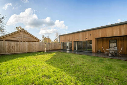
- Price
- Guide Price£475,000
North Perrott, Crewkerne, North Perrott, Somerset TA18 England
Added on 01/10/2026Barn Conversion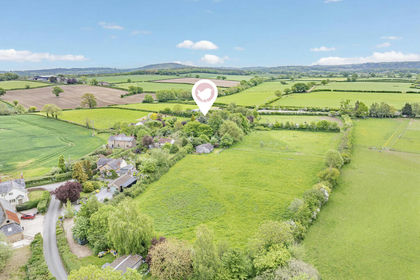
- Price
- £600,000
- Size
- 3 acres
Claycastle, Haselbury Plucknett, Haselbury Plucknett, Somerset TA18 England
Added on 18/09/2026House with Land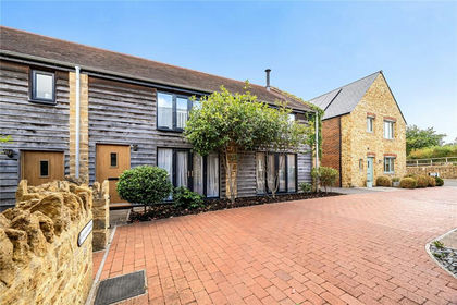
- Price
- Guide Price£425,000
4 Old Farm Walk, Merriott, Somerset, Merriott, Somerset TA16 England
Added on 27/08/2026Barn Conversion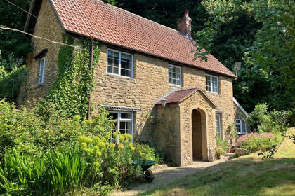
- Price
- Offers in Excess of£550,000
- Size
- 1.84 acres
Added on 29/01/2026Cottage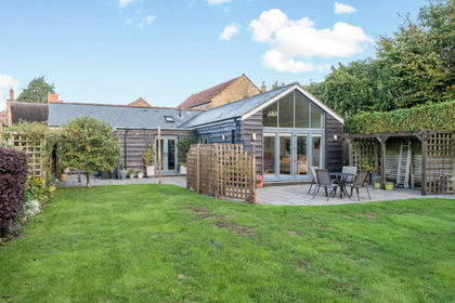
- Price
- Guide Price£550,000
West Street, Hinton St. George, TA17, Hinton St. George, Somerset TA17 England
Added on 07/10/2026Barn Conversion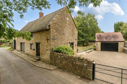
- Price
- Guide Price£450,000
- Size
- 0.2 acres
School Lane, Seavington, Ilminster, Seavington St Michael, Somerset TA19 England
Added on 25/09/2026Barn Conversion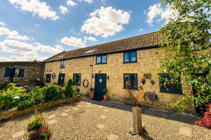
- Price
- Guide Price£580,000
Compton Road, South Petherton, TA13, South Petherton, Somerset TA13 England
Added on 30/05/2026Barn Conversion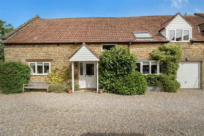
- Price
- Guide Price£429,000
Upton Lane, Seavington, Ilminster, Seavington St Mary, Somerset TA19 England
Added on 03/06/2026Barn Conversion
- Price
- Guide Price£475,000
East Street, Martock, Somerset, Martock, Somerset TA12 England
Added on 24/06/2026Barn Conversion
- Price
- £495,000
- Size
- 1 acres
Queen Street, Tintinhull, Yeovil, Somerset, BA22, Tintinhull, Somerset BA22 England
Added on 05/08/2026House with Land