Mulberry Barn, South Cowton, Northallerton DL7
- Bedrooms
- 3
- Bathrooms
- 2
Key Features
- Exclusive three bedroom Barn conversion with outstanding views
- Stunning open-plan kitchen, dining & living space with countryside views
- Up to three bedrooms, including a luxurious principal suite with en-suite
- Versatile layout offering potential for a self-contained annex
- Generous south-east facing garden with uninterrupted rural outlook
- High-efficiency Vaillant air-source heat pump & underfloor heating throughout
- Substantial gravel driveway with ample parking
- Premium contemporary finishes throughout
- Exclusive development of just three bespoke barn conversions
- Planning permission approved for a sympathetic rear extension
Description
An exceptional, single storey, three bedroom barn conversion with gardens and far-reaching countryside views
Situation And Amenities - South Cowton benefits from an array of country walks and bridleways close by, including the Coast to Coast trail. The property is only 3 miles from Scorton which is an extremely sought-after village with an active community, a well-regarded primary school, a popular village shop, garage with additional shop, two pubs and a medical centre.
Situated about 5 miles from the A1 at Catterick, the property has easy access to the major commercial centres of Yorkshire and the North East. The historic town of Richmond, with its historic castle and market square, is about 8.7 miles away.
There is a primary school located in North Cowton and a number of secondary schools in Richmond, Northallerton and Darlington.
The nearest airports are Teesside International Airport (14 miles), offering a growing number of domestic and international flights, whilst Leeds Bradford and Newcastle are both about an hour’s drive away. The area is particularly well connected by road and rail and is therefore commutable to Durham, Newcastle, York, Stockton and the wider Teesside area. The property has excellent links to both the A1(M) and A66, with the A1 corridor dividing the Yorkshire Dales from the North York Moors National Park, both of which are easily accessible and offer many opportunities for exploring the great outdoors.
Accommodation - Mulberry Barn is set within an exclusive rural hamlet, surrounded by unspoilt countryside. This newly-completed barn conversion showcases a harmonious blend of traditional character and sophisticated, modern design.
Rich in heritage, the property retains exposed beams and original features, thoughtfully complemented by contemporary finishes to create a home of exceptional style and comfort.
At the heart of the property is an impressive, open-plan kitchen, dining, and living space which is bathed in natural light and perfectly orientated to frame sweeping countryside views. Patio doors and beautifully crafted windows capture the surrounding landscape, creating an idyllic setting for both relaxed everyday living and refined entertaining.
The flexible layout provides up to three bedrooms, including an elegant principal suite complete with a luxurious en suite shower room. A separate house bathroom serves the remaining accommodation.
A secondary entrance from the courtyard adds further flexibility, with clear potential to create a self-contained annexe; ideal for visiting family, guest accommodation, a home office suite, or a lucrative Airbnb let.
Finished to exacting standards, the home benefits from high performance energy efficient technologies, including a Vaillant air source heat pump and underfloor heating throughout, ensuring year round comfort with reduced running costs.
This is a property designed not only for the present lifestyle but for future ambitions. Planning permission has already been secured for a sympathetic rear extension, offering a ready-made opportunity to expand and tailor the home even further.
Externally - The substantial south east-facing garden enjoys uninterrupted views across open countryside, offering a tranquil private retreat for relaxation, al fresco dining or landscaping projects. Additional adjoining land can be acquired separately, enabling buyers to extend their outdoor space or explore further development opportunities.
A generous gravel driveway provides ample parking, complemented by an EV charging point for modern convenience.
To view previous developments by The James Partnership, please visit
Viewings - Strictly by appointment with GSC Grays. Telephone: .
Tenure - The property is freehold and will be offered with vacant possession on completion.
Local Authority - North Yorkshire Council. Awaiting confirmation of council tax banding.
Services - Vaillant Air Source Heat Pump, mains water, electricity and a private treatment plant.
Particulars And Photographs - Particulars prepared and photographs taken January 2026.
Map Location
Property details
- Tenure
- Freehold
- Council Tax Band
- Ask Agent
- Date Posted
- 2026-07-25
Energy Performance Certificate
Energy Efficiency Rating
Based on UK Energy Performance Certificate standards (EU Directive 2002/91/EC)
Running costs are one side. Planning activity, flood history and ground risks for this location are in the full report.
Utilities & Restrictions
Utilities
- Electricity
- Mains
- Water
- Mains
- Heating
- Air Source Heat Pump
- Broadband
- Ask Agent
- Sewerage
- Septic Tank / Private
Rights & Restrictions
- Public Rights of Way
- Ask Agent
- Private Rights of Way
- Ask Agent
- Listed Property
- Ask Agent
- Restrictions
- Ask Agent
Listed status, conservation areas and planning constraints for this location are in the full report.
Property Features
- Accessibility
- Ask Agent
- Parking
- Parking Available
- Garden
- Garden
Beyond the particulars: planning activity, flood history, heritage and ground risks, checked for this exact spot.
Connectivity
Broadband
Fastest speed available at this postcode
1 Gbps
Superfast · available to 56% of premises
Suitable for
- 4K streaming on every screen
- Full-time home working
- Online gaming & big downloads
Fixed wireless access may also be an option here.
Mobile signal
Outdoor predictions; indoor signal depends on building materials.
Ofcom Connected Nations postcode-level predictions. Speeds and signal are modelled, not measured, and vary between addresses and providers.
Signal is the easy part. Planning activity, flood history and protected designations here are in the full report.
Nearest Schools
Primary
- North and South Cowton Community Primary School1 mileNo Ofsted rating
- Ages
- 4 to 11
- Pupils
- 14
- Type
- Community school
- East Cowton Church of England Primary School1.4 milesNo Ofsted rating
- Ages
- 4 to 11
- Pupils
- 38
- Type
- Academy converter
- Faith
- Church of England
- Bolton-On-Swale St Mary's CofE Primary School2.7 milesOfsted: Good *
- Ages
- 4 to 11
- Pupils
- 105
- Type
- Voluntary aided school
- Faith
- Church of England
- Michael Syddall Church of England Aided Primary School3.8 milesNo Ofsted rating
- Ages
- 4 to 11
- Pupils
- 153
- Type
- Voluntary aided school
- Faith
- Church of England
- Great Smeaton Academy Primary School4 milesNo Ofsted rating
- Ages
- 4 to 11
- Pupils
- 24
- Type
- Academy converter
Secondary
- Hurworth School4.8 milesOfsted: Good
- Ages
- 11 to 16
- Pupils
- 621
- Type
- Academy converter
- St Francis Xavier School - a Joint Catholic and Church of England Voluntary Academy6.4 milesOfsted: Outstanding *
- Ages
- 11 to 16
- Pupils
- 611
- Type
- Academy converter
- Faith
- Roman Catholic/Church of England
- Richmond School & Sixth Form College6.6 milesOfsted report card · Feb 2026
- Ages
- 11 to 18
- Pupils
- 1,315
- Type
- Academy converter
- Risedale School6.8 milesOfsted: Requires improvement *
- Ages
- 11 to 16
- Pupils
- 467
- Type
- Community school
- Polam Hall School7.1 milesOfsted report card · Nov 2025
- Ages
- 4 to 16
- Pupils
- 842
- Type
- Free schools
* Latest graded judgement covers quality of education only; no overall grade was issued under the 2024-25 inspection framework.
Distances are straight-line from the advertised location. Source: the national school registers (DfE, Welsh Government, Scottish Government) and Ofsted.
Schools are just the start: sold prices nearby, planning activity and any flood history are in the full report.
Amenities
Supermarket
GP surgery
Pharmacy
Hospital
Straight-line distances from the advertised location. Sources: NHS records, Geolytix supermarket locations, OS Open Greenspace and the national trails registers.
The area stacks up? Now check the location itself: planning nearby, protected designations and past flooding.
Getting Around
Nearest station
Nearest bus stop
Typical drive times
Straight-line distances from the advertised location; drive times are typical free-flow times over OpenStreetMap road data, so allow more at peak. Public transport locations from DfT NaPTAN.
Easy to reach matters. So do planning activity, flood history and ground risks: all in the full report.
Flood Risk
From Environment Agency flood map open data, checked around the advertised map pin and allowing for the listed acreage where known. This summary comes from LandSale, the advertising platform, not from the listing agent, and is not part of the agent's particulars. Risk can vary across a single holding, so verify anything critical through your own searches before committing.
Rivers and the sea
Surface water
These bandings are the summary. Where this location sits on the flood maps, plus planning activity, heritage and ground risks, is in the full report.
Important notice: Information, maps and tags on this page are drawn from the advertising agent's marketing materials or generated automatically. LandSale has not verified them. Relying on these details is at your own risk, always carry out independent checks before committing to a purchase.
LandSale full disclaimer
Marketing information only - not formal particulars. The details on this website are provided for general guidance and do not constitute an offer or contract. Neither LandSale nor the advertising estate/land agent accepts responsibility for any inaccuracy.
1. Source of information
- Listing content: Core description, asking price, tenure, measurements, photographs and planning history originate from the marketing materials of the advertising estate or land agent. LandSale does not author this content and cannot guarantee its accuracy.
- Automated tags & categorisation: Property type, land-use class, acreage bands and similar labels may be applied by machine-learning models. They are intended as a helpful guide only and may not reflect the property's legal status or permitted use.
- Third-party & enriched data layers: Maps, boundary outlines, planning designations, soil reports, broadband coverage and other environmental or location-based insights are licensed from external suppliers. Such data are supplied “as is", may be incomplete or out of date and are subject to change without notice.
2. Verification required
Prospective purchasers must verify critical matters, including but not limited to planning permission, title boundaries, public rights of way, environmental constraints, acreage, services, access and VAT status, through their own inspections, specialist surveys, legal advisers and the selling agent before relying on the information or entering into any contract.
3. No warranty or liability
LandSale gives no warranty, express or implied, as to the accuracy, completeness or fitness for any particular purpose of the information displayed. LandSale shall not be liable for any loss, damage, cost or expense arising directly or indirectly from any use of or reliance on such information, save where liability may not be excluded by law.
4. Updates & feedback
If you believe any detail on this listing is inaccurate, please let us know. We will investigate and, where appropriate, update the listing or notify the agent.
© LandSale | Version 1.3 - August 2026
Listing agent
GSC Grays, Richmond, North Yorkshire
5-6 Bailey Court, Colburn Business Park, Catterick Garrison, DL9 4QL
View agent profileSimilar properties for sale
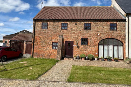
- Price
- Offers in Excess of£470,000
East Cowton, Northallerton, Dalton-on-Tees, North Yorkshire DL7 England
Added on 22/06/2026Barn Conversion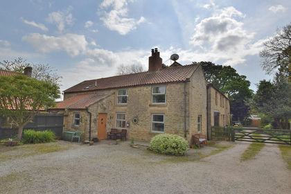
- Price
- Offers in Region of£499,950
Morris Grange, Great North Road, Moulton, North Yorkshire DL10 England
Added on 12/05/2026Barn Conversion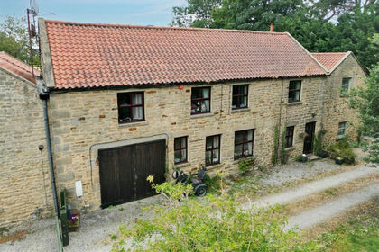
- Price
- £500,000
- Size
- 0.33 acres
Great North Road, Middleton Tyas, Richmond, Moulton, North Yorkshire DL10 England
Added on 29/01/2026Barn Conversion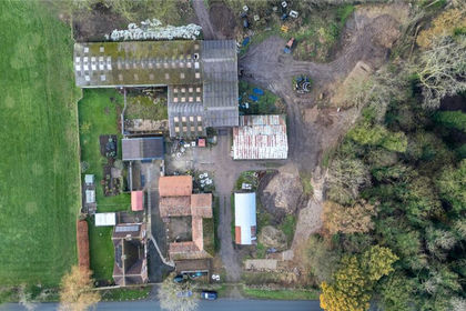
- Price
- Guide Price£400,000
- Size
- 0.92 acres
Added on 29/01/2026Development Land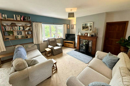
- Price
- Offers Over£435,000
- Size
- 4 acres
Deighton, Northallerton, North Yorkshire, DL6, Deighton, North Yorkshire DL6 England
Added on 08/08/2026House with Land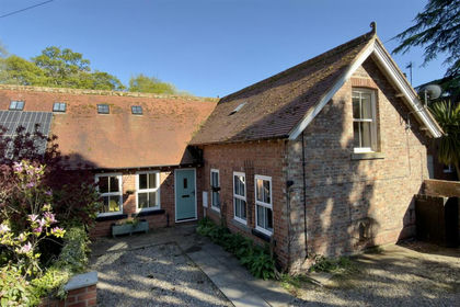
- Price
- Offers in Region of£450,000
Stable Cottage, Over Dinsdale, Darlington, DL2, Over Dinsdale, North Yorkshire DL2 England
Added on 06/06/2026Barn Conversion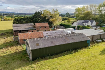
- Price
- Offers in Excess of£400,000
- Size
- 0.59 acres
Barns at Welbury, Northallerton - Development Opportunity, Welbury, North Yorkshire DL6 England
Added on 20/03/2026Conversion Land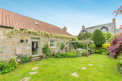
- Price
- Guide Price£525,000
Meadowfield Lodge, 10 Kilton Court, Aldbrough St. John, Aldbrough, North Yorkshire DL11 England
Added on 20/05/2026Barn Conversion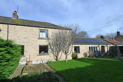
- Price
- Offers in Excess of£530,000
- Size
- 1.5 acres
Gilling West, Richmond, DL10, Gilling with Hartforth and Sedbury, North Yorkshire DL10 England
Added on 10/09/2026Barn Conversion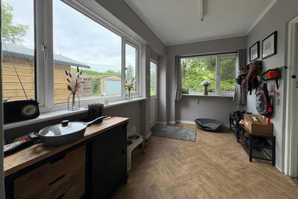
- Price
- Offers in Region of£550,000
- Size
- 3 acres
Bullamoor, Northallerton, Northallerton, North Yorkshire DL6 England
Added on 22/06/2026House with Land