Land at former Well House, Chestnut Way Brightlingsea, Colchester, CO7 0UH
- Land size
- 1.12 acres
Key Features
- 64 bedroom care home development opportunity
- Outline planning consent granted in July 2022
- c. 1.12 acre site
- Anticipated GIA of c. 3,030 sq m
- Located in the coastal town of Brightlingsea
- EPC Exempt
- Christie & Co Ref: 4270639
Description
Description
Please download the Information Memorandum for further information.
LocationBrightlingsea is a coastal town in Essex which benefits from a beach, lido, boating lake and leisure clubs, National Nature Reserve, high street with independent boutiques and high street favourites, cafes, restaurants, community hall and schools.
Central Colchester is c. 15 km to the north west via the B1027 and B1029 and Clacton on Sea is c. 17.3 km to the south east via the B1027. The A133 is c. 8.7 km to the north and has direct connections to the A12, an arterial route through Essex to London via Chelmsford.
The closest rail services are in nearby Alresford, c. 6.7 km to the north west, where there are connections to London Liverpool Street, Colchester and Walton-onthe-Naze.
The nearest bus stop to the site is at Lower Park Road, c. 350m from the site, which is serviced by the 87 bus route to Horksley Heath, Brightlingsea town centre, Wivenhoe, Alresford and Thorrington.
Brightlingsea Foot Ferry is c. 1.2 km to the south and provides pedestrian connections to Point Clear and Mersea Island.
Colne Medical Centre is located c. 750km to the south west. Colchester Hospital is the nearest general hospital, c.18 km to the north west, and has departments including Accident & Emergency, Geriatric Medicine and Dementia Services.
Planning PermissionsOutline planning consent was granted in July 2022 by Tendring District Council for the ‘proposed demolition of redundant care home and erection of 2 storey residential care home and associated external works (all matters reserved)’.
Planning Reference: 22/00141/OUT
Further details can be viewed at the Tendring District Council website using the above reference.
Map Location
Property details
- Tenure
- Freehold
- Council Tax Band
- Ask Agent
- Date Posted
- 2026-07-17
Utilities & Restrictions
Utilities
- Electricity
- Ask Agent
- Water
- Ask Agent
- Heating
- Ask Agent
- Broadband
- Ask Agent
- Sewerage
- Ask Agent
Rights & Restrictions
- Public Rights of Way
- Ask Agent
- Private Rights of Way
- Ask Agent
- Listed Property
- Ask Agent
- Restrictions
- Ask Agent
Property Features
- Accessibility
- Ask Agent
- Parking
- Ask Agent
- Garden
- Ask Agent
Important notice: Information, maps and tags on this page are supplied by the advertising agent or generated automatically. LandSale has not verified them. Relying on these details is at your own risk, always carry out independent checks before committing to a purchase.
LandSale full disclaimer
Marketing information only - not formal particulars. The details on this website are provided for general guidance and do not constitute an offer or contract. Neither LandSale nor the advertising estate/land agent accepts responsibility for any inaccuracy.
1. Source of information
- Agent-supplied content: Core description, asking price, tenure, measurements, photographs and planning history are uploaded by the appointed agent, who remains solely responsible for their accuracy.
- Automated tags & categorisation: Property type, land-use class, acreage bands and similar labels may be applied by machine-learning models. They are intended as a helpful guide only and may not reflect the property's legal status or permitted use.
- Third-party & enriched data layers: Maps, boundary outlines, planning designations, soil reports, broadband coverage and other environmental or location-based insights are licensed from external suppliers. Such data are supplied “as is", may be incomplete or out of date and are subject to change without notice.
2. Verification required
Prospective purchasers must verify critical matters, including but not limited to planning permission, title boundaries, public rights of way, environmental constraints, acreage, services, access and VAT status, through their own inspections, specialist surveys, legal advisers and the selling agent before relying on the information or entering into any contract.
3. No warranty or liability
LandSale gives no warranty, express or implied, as to the accuracy, completeness or fitness for any particular purpose of the information displayed. LandSale shall not be liable for any loss, damage, cost or expense arising directly or indirectly from any use of or reliance on such information, save where liability may not be excluded by law.
4. Updates & feedback
If you believe any detail on this listing is inaccurate, please let us know. We will investigate and, where appropriate, update the listing or notify the agent.
© LandSale | Version 1.2 - January 2026
Listing agent
Christie Owen & Davies Ltd, Care
Contact Christie Owen & Davies Ltd, Care
View agent profileSimilar properties for sale
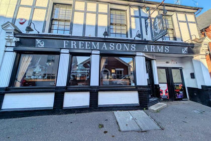
- Price
- £350,000
Freemasons Arms, Sydney Street, Brightlingsea, Essex, Brightlingsea, Essex CO7 0BG England
Added on 17/07/2026Pub
- Price
- £950,000
Added on 17/07/2026Pub
- Price
- Guide Price£1,250,000
- Size
- 0.31 acres
5 Fieldgate Quay, Haven Road, Colchester, Essex, CO2, Harwich and North Essex, Essex CO2 8HY England
Added on 22/06/2026Industrial Land
- Price
- Guide Price£540,000
Wellesley Road, Clacton-on-Sea, Essex, CO15 3PT, Clacton, Essex CO15 3QP England
Added on 11/07/2026Commercial Land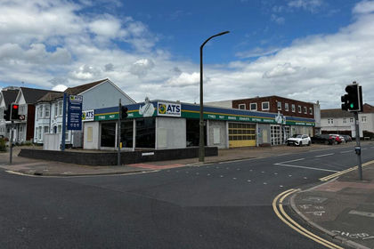
- Price
- Offers in Excess of£750,000
- Size
- 0.27 acres
Former ATS Centre, 65 High Street, Clacton on Sea, CO15 6PW, Clacton, Essex CO15 6PJ England
Added on 16/06/2026Warehouse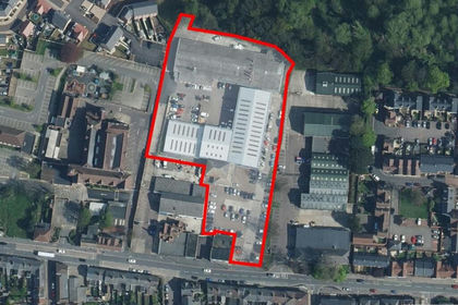 Added on 17/07/2026Industrial Land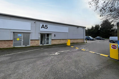
- Price
- £350,000
- Size
- 0.07 acres
Unit A5, Moorside Business Park, Colchester, CO1, Colchester, Essex CO1 2ZF England
Added on 19/05/2026Industrial Land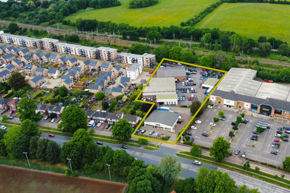
- Price
- £2,000,000
- Size
- 0.57 acres
Former Car Dealership, 196 Cowdray Avenue, Colchester, Essex, CO1, Colchester, Essex CO1 1XX England
Added on 28/02/2026Commercial Land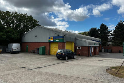
- Price
- Offers in Excess of£600,000
- Size
- 0.11 acres
Added on 16/06/2026Warehouse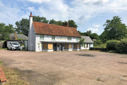
- Price
- Offers in Region of£375,000
- Size
- 0.9 acres
Red Lion 130 Coggeshall Road, Marks Tey, CO6 1LT, Marks Tey, Essex CO6 1LU England
Added on 29/01/2026Commercial Land