West Bodley Farm, Parracombe, Devon
- Land size
- 4 acres
- Bedrooms
- 6
- Bathrooms
- 4
Description
This characterful six-bedroom farmhouse sits in a small hamlet in Parracombe, within the Exmoor National Park. The house brims with original features, including flagstone flooring, cast-iron fireplaces and a versatile dairy, and in recent years solar photovoltaic panels with battery storage have been installed. A series of stone barns are grouped around a cobbled yard, and the house sits within almost four acres of gardens, encompassing two paddocks, an orchard, a walled garden and an elevated area with spectacular views across the hills and valleys. The house currently functions as a successful smallholding, and has hosted a range of popular events, including sourdough workshops and a pop-up supper club.
Setting the Scene
Bodley is a small, historic hamlet dating back to the early 1600s, within the parish of Parracombe on Exmoor. One of just four dwellings in Bodley, the farmhouse appears to have developed in two parts; the front half is thought to date from the 1700s, while the rear is likely older.
A range of original stone barns have been largely unaltered for centuries; one barn contains the original water wheel mechanism for what was once the threshing barn. Inside the house, original features include a large inglenook fireplace and a cast-iron oven.
The Grand Tour
The farm sits at the end of a quiet no-through lane. Steps lead up to the front porch, opening onto a welcoming living space, bathed in natural light courtesy of two sash windows. A log burner sits in a large inglenook fireplace, framed by original glazed cupboards.
A second sitting room has a log burner and full-height fitted storage. Here, dado-height panelling is complemented by warm plum-toned walls.
A short flight of stone steps ascends from the main living space to a vast open-plan kitchen and dining room with original flagstone flooring. The dining area has built-in bench seating and an original timber door onto the yard. A log burner and an electric Aga sit in an alcove; behind the latter, the backing plate of the original cast-iron stove remains in situ. Kitchen work surfaces are topped with slate, and there is an AEG induction hob and oven and underfloor heating. To the rear is the original dairy, complete with slate open shelving. On this floor there is also a handy utility room, a guest WC and a studio.
The first floor is occupied by six bedrooms. Two have en suite bathrooms (one with a deluge shower, one with a roll-top bathtub), while another has fitted bookshelves and is currently used as a library. There is also a shared bathroom on this floor.
The original stone barns wrap around the south and west of the house, enclosing the cobbled yard. Supplied with electricity and water, they are otherwise untouched, with many artefacts from the farm’s past remaining in situ, including the original water wheel mechanism for the threshing barn.
The barns create a warm, sheltered area, where the current owners grow outdoor grapes and kiwis. The barn at the front of the house is used as a large carport.
The Great Outdoors
The house sits in almost four acres of land, including a walled garden, a large paved terrace, a vegetable garden, a polytunnel and a fruit cage. The gardens at the top of the house enjoy magnificent panoramic views across the verdant landscape, and there is a timber garden house. Here, a stream runs through a wild garden, cascading into a pretty waterfall.
The gardens are brimming with fruit trees, including pear, apple, damson, quince, cherry and ancient medlars. There are paddocks on both sides of the house, and the current owners run the farm as a successful smallholding with chickens, sheep and goats.
Out and About
The house sits in Parracombe, a rural village within Exmoor National Park. The village pub, primary school, community shop and church are all within easy walking distance, while further amenities are found in the nearby towns of Ilfracombe and Barnstaple.
The farm is perfectly located for exploring in nature; the moors that surround it are an excellent starting point. The South West Coast Path is easily accessible by car or a walk across the fields behind the house; a popular stretch is the picturesque walk from Woolacombe to Ilfracombe. The latter is one of the liveliest towns on the North Devon coast, thanks to its harbour with a range of attractions from Damian Hirst's imposing sculpture of Verity to the mignon Chapel of Saint Nicholas. It is also the departure point for boat rides to Lundy Island, famous for its dramatic scenery and array of wildlife.
There are several schooling options in the area, including Parracombe C of E Primary, Kentisbury Primary and West Buckland all-through school.
Barnstaple rail station is a 30-minute drive from the house, and runs regular services to Exeter St Davids. From here, trains run to London Paddington.
Council Tax Band: E
Map Location
Property details
- Tenure
- Freehold
- Council Tax Band
- E
- Date Posted
- 2026-07-09
Market Value Analysis
Compared with 1,614 Homes with Land listings in South West England (1+ acres).
Energy Performance Certificate
Energy Efficiency Rating
Based on UK Energy Performance Certificate standards (EU Directive 2002/91/EC)
Running costs are one side. Planning activity, flood history and ground risks for this location are in the full report.
Utilities & Restrictions
Utilities
- Electricity
- Ask Agent
- Water
- Ask Agent
- Heating
- Ask Agent
- Broadband
- Ask Agent
- Sewerage
- Ask Agent
Rights & Restrictions
- Public Rights of Way
- Ask Agent
- Private Rights of Way
- Ask Agent
- Listed Property
- Ask Agent
- Restrictions
- Ask Agent
Listed status, conservation areas and planning constraints for this location are in the full report.
Property Features
- Accessibility
- Ask Agent
- Parking
- Parking Available
- Garden
- Garden
Beyond the particulars: planning activity, flood history, heritage and ground risks, checked for this exact spot.
Connectivity
Broadband
Fastest speed available at this postcode
54 Mbps
Superfast
Suitable for
- HD streaming
- Video calls
- Web & social
Fixed wireless access may also be an option here.
Mobile signal
Predicted 4G and 5G signal; indoor signal depends on building materials.
Ofcom Connected Nations postcode-level predictions. Speeds and signal are modelled, not measured, and vary between addresses and providers.
Signal is the easy part. Planning activity, flood history and protected designations here are in the full report.
Nearest Schools
Primary
- Parracombe Church of England Primary School563 metresNo Ofsted rating
- Ages
- 4 to 11
- Pupils
- 37
- Type
- Voluntary controlled school
- Faith
- Church of England
- Kentisbury Primary School3.1 milesNo Ofsted rating
- Ages
- 4 to 11
- Pupils
- 51
- Type
- Community school
- Lynton Church of England Primary School4.2 milesNo Ofsted rating
- Ages
- 4 to 11
- Pupils
- 61
- Type
- Voluntary aided school
- Faith
- Church of England
- Bratton Fleming Community Primary School4.8 milesOfsted: Good
- Ages
- 4 to 11
- Pupils
- 70
- Type
- Academy converter
- Combe Martin Primary School5.6 milesOfsted: Requires improvement *
- Ages
- 2 to 11
- Pupils
- 137
- Type
- Academy converter
Secondary
- The Ilfracombe Church of England Academy8.9 milesOfsted report card · Jan 2026
- Ages
- 11 to 18
- Pupils
- 1,016
- Type
- Academy sponsor led
- Faith
- Church of England
- Pilton Community College9.9 milesOfsted: Good
- Ages
- 11 to 16
- Pupils
- 1,165
- Type
- Academy converter
- The Park Community School10 milesOfsted: Good *
- Ages
- 11 to 16
- Pupils
- 1,408
- Type
- Academy converter
- Braunton Academy12 milesNo Ofsted rating
- Ages
- 11 to 16
- Pupils
- 828
- Type
- Academy converter
- South Molton Community College13 milesOfsted: Good *
- Ages
- 11 to 16
- Pupils
- 656
- Type
- Foundation school
* Latest graded judgement covers quality of education only; no overall grade was issued under the 2024-25 inspection framework.
Distances are straight-line from the advertised location. Source: the national school registers (DfE, Welsh Government, Scottish Government) and Ofsted.
Schools are just the start: sold prices nearby, planning activity and any flood history are in the full report.
Amenities
Supermarket
GP surgery
Pharmacy
Hospital
Green space
Straight-line distances from the advertised location. Sources: NHS records, Geolytix supermarket locations, OS Open Greenspace and the national trails registers.
The area stacks up? Now check the location itself: planning nearby, protected designations and past flooding.
Getting Around
Nearest station
Nearest bus stop
Typical drive times
Straight-line distances from the advertised location; drive times are typical free-flow times over OpenStreetMap road data, so allow more at peak. Public transport locations from DfT NaPTAN.
Easy to reach matters. So do planning activity, flood history and ground risks: all in the full report.
Flood Risk
Environment Agency open data, checked around the advertised map pin for the listed acreage. Long-term risk counts flood defences; the planning map's flood zones do not. Provided by LandSale, not the listing agent, and not part of the agent's particulars. Risk varies across a holding, so verify before committing.
Rivers and the sea
Planning map: Flood Zone 1.
Surface water
Not at the pin: mapped about 10 metres away.
These bandings are the summary. Where this location sits on the flood maps, plus planning activity, heritage and ground risks, is in the full report.
Important notice: Information, maps and tags on this page are drawn from the advertising agent's marketing materials or generated automatically. LandSale has not verified them. Relying on these details is at your own risk, always carry out independent checks before committing to a purchase.
LandSale full disclaimer
Marketing information only - not formal particulars. The details on this website are provided for general guidance and do not constitute an offer or contract. Neither LandSale nor the advertising estate/land agent accepts responsibility for any inaccuracy.
1. Source of information
- Listing content: Core description, asking price, tenure, measurements, photographs and planning history originate from the marketing materials of the advertising estate or land agent. LandSale does not author this content and cannot guarantee its accuracy.
- Automated tags & categorisation: Property type, land-use class, acreage bands and similar labels may be applied by machine-learning models. They are intended as a helpful guide only and may not reflect the property's legal status or permitted use.
- Third-party & enriched data layers: Maps, boundary outlines, planning designations, soil reports, broadband coverage and other environmental or location-based insights are licensed from external suppliers. Such data are supplied “as is", may be incomplete or out of date and are subject to change without notice.
2. Verification required
Prospective purchasers must verify critical matters, including but not limited to planning permission, title boundaries, public rights of way, environmental constraints, acreage, services, access and VAT status, through their own inspections, specialist surveys, legal advisers and the selling agent before relying on the information or entering into any contract.
3. No warranty or liability
LandSale gives no warranty, express or implied, as to the accuracy, completeness or fitness for any particular purpose of the information displayed. LandSale shall not be liable for any loss, damage, cost or expense arising directly or indirectly from any use of or reliance on such information, save where liability may not be excluded by law.
4. Updates & feedback
If you believe any detail on this listing is inaccurate, please let us know. We will investigate and, where appropriate, update the listing or notify the agent.
© LandSale | Version 1.3 - August 2026
Similar properties for sale
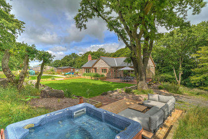
- Price
- Guide Price£1,350,000
- Size
- 22.12 acres
The Croft & Holiday Lodges, Mockham Down, Barnstaple, Devon EX32 England
Added on 27/07/2026Smallholding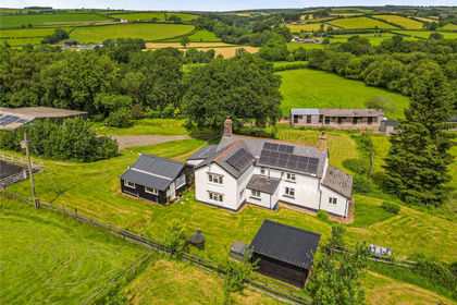
- Price
- Guide Price£825,000
- Size
- 6.35 acres
West Anstey, South Molton, EX36, South Molton, Devon EX36 England
Added on 25/06/2026Smallholding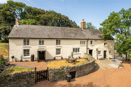
- Price
- Guide Price£1,100,000
- Size
- 63 acres
Knowstone, South Molton, EX36, South Molton, Devon EX36 England
Added on 28/07/2026Smallholding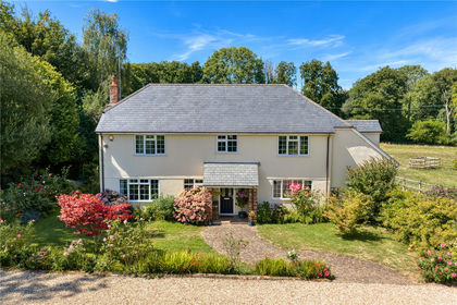
- Price
- Guide Price£1,000,000
- Size
- 11 acres
Timberscombe, Minehead, TA24, Minehead, Somerset TA24 England
Added on 05/09/2026Smallholding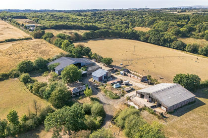
- Price
- Guide Price£1,325,000
- Size
- 92.19 acres
Grendon Lane, Witheridge, Tiverton, EX16, Tiverton, Devon EX16 England
Added on 10/09/2026Smallholding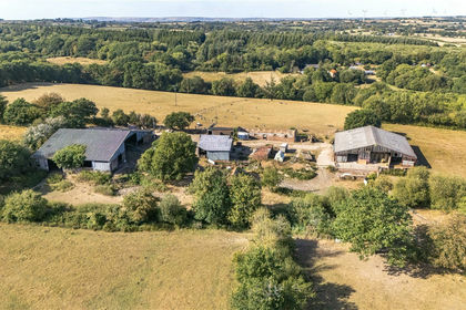
- Price
- Guide Price£950,000
- Size
- 90.38 acres
South Grendon - Lot 1, Grendon Lane, Witheridge, Tiverton, EX16, Tiverton, Devon EX16 England
Added on 10/09/2026Smallholding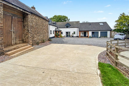
- Price
- Guide Price£950,000
- Size
- 8.25 acres
8.25 Acres Washfield, Tiverton, EX16, Tiverton, Devon EX16 England
Added on 25/09/2026Smallholding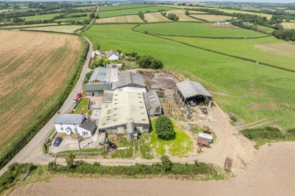
- Price
- Guide Price£975,000
- Size
- 57.5 acres
Milton Damerel, Holsworthy, EX22, Milton Damerel, Devon EX22 England
Added on 07/07/2026Farm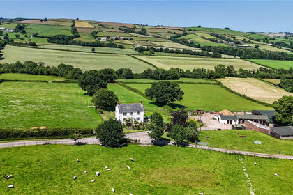
- Price
- Guide Price£950,000
- Size
- 41.35 acres
Ashbrittle, Wellington, TA21, Wellington, Somerset TA21 England
Added on 18/09/2026Small Farm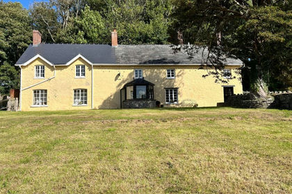
- Price
- £1,095,000
- Size
- 29.97 acres
Isycoed Farm, City, Cowbridge CF71, Penllyn, Vale of Glamorgan CF71 Wales
Added on 08/10/2026Smallholding