Exbury Road, Beaulieu, Brockenhurst, SO42
- Land size
- 5.6 acres
- Bedrooms
- 6
- Bathrooms
- 4
Key Features
- Never before available on the open market
- This exceptional property was mentioned in the Domesday Book
- Elements of the current building dating back to the 16th Century
- Accommodation of approximately 3372 sq ft
- Ancient two storey barn with significant potential
- Indoor heated swimming pool
- Sitting in a beautiful position with far-reaching views over its own 5.6 acres
- Overlooking the Beaulieu River Valley
Description
Never before available on the open market, this exceptional property was mentioned in the Domesday Book with elements of the current building dating back to the 16th Century. The house provides extensive, characterful accommodation of approximately 3372 sq ft. There is an ancient two storey barn with significant potential as well as an indoor swimming pool. Sitting in a beautiful position the house enjoys far-reaching views over its own 5.6 acres of gardens overlooking the Beaulieu River Valley.
SITUATION
Positioned at the end of a no through lane the property enjoys an especially tranquil and secluded position with far reaching views across its and unspoilt open countryside of the New Forest National Park and the Beaulieu Estate. The house itself sits within the National Park with access to the open spaces of the Forest from the end of the drive providing endless walks and rides . The nearby village of Beaulieu has a picturesque High Street with a range of shops and cafes as well as a pub, restaurant and hotel. There is a nearby beach at Lepe, 4 miles distant. Bucklers Hard, on the Beaulieu River has excellent mooring and sailing facilities with a wider range of sailing clubs and marinas to be found nearby at Gins Lane or in Lymington. Access to the wider world is good with the M271 just 10 miles to the north. There are railway stations at both Brockenhurst (8 miles) and Southampton Airport Parkway (16 miles) offering direct services to London Waterloo in 1h 50m and 1h 10m respectively.
THE PROPERTY
Otterwood can trace its history back nearly 1,000 years and is mentioned in the Domesday Book of 1086 - "Aelfric had 1 hide and 1 virgate in Otreorde. It is now in the Forest. Land for 3 ploughs. It was worth 30 shillings". While property values may have changed over the years the peace and unspoilt views over undulating countryside remain undiminished.
The house has never been offered for sale on the open market as the current owners' family acquired the property directly from the Beaulieu Estate in the late 1950s, and it remains part of the Estate to this day. Prior to this, it had been home to estate workers through the early-modern period and, prior to the dissolution of the monasteries in the late 1530s, was a monastic Grange associated with Beaulieu Abbey.
The current house has evolved over the centuries with its core dating back to the 1500s with ancient beams still prominent features in the living rooms. Despite its history the house is not Listed and the current accommodation which extends to over 3,300 square feet has been in situ since before 1982 which, subject to verification and planning approval from the local authority, could allow for extensions providing an additional 30%.
The front door opens to a reception hall with a charming seating area complete with woodburning stove. The hall provides access to all principle rooms including the sitting room which has an inglenook fireplace with open fire, dual aspect and door to the garden. The dining room is a particularly appealing room with a profound sense of character from its exposed beams and brickwork as well as its inglenook fire place. The kitchen features a range of fitted units, a breakfast bar and a separate dining area. The kitchen also has a door to the garden. Of particular note is a delightful library which is a particularly bright room with a southerly aspect and large windows overlooking the gardens and grounds. This room has a door on to a large terrace with ample space for outdoor entertaining and taking in the unspoilt views of the Beaulieu River valley.
Upstairs there are three double bedrooms on the first floor, one of which has an en suite bathroom and walk in wardrobe. There are also two further bathrooms.
On the second floor there are three further double bedrooms.
GROUNDS & GARDENS
It is the tranquility and privacy of Otterwood that cannot be overstated. The driveway leading to the house passes solely over privately owned land. After passing through an entrance gateway, the house is approached over a gravel drive leading to a turning and parking area adjacent to the house and garage block. A 450 year-old yew tree stands guard by the front entrance.
The garage block adjoins the house and offers parking for four cars with two double up-and-over garage doors. An internal staircase from the open garage space leads to a large storage room at first floor level which could be converted into additional living areas, subject to the necessary planning consents. A short distance from the garage is a stable block which has been adapted to contain an indoor heated swimming pool with glazed doors facing south and overlooking the grounds and Beaulieu River valley.The gardens and grounds extend to over five and a half acres and run due south from the house with open fields on all sides. There is a wide terrace adjoining the house on its southern side which is accessed from both the sitting room and garden room. This area is covered by a retractable awning and provides a beautiful spot for outdoor dining, relaxing and entertaining through the summer months.
To the north east of the house lies an ancient barn which is not Listed and believed to have been the original monastic grange which formed the accommodation at Otterwood until the dissolution of the monastries under the reign of Henry VIII in 1536. Much of the original structure remains with significant further foundations believed to extend beyond what stands above ground. The surviving structure provides useful storage via two separate vehicular doors. An external stone staircase leads to a door at first floor level where there is a further room. Subject to the necessary consents, the barn could be converted or extended to provide a wide variety of alternative uses.
SERVICES
Tenure: Freehold
Council Tax: G
EPC: F Current: 26 Potential: 59
Property Construction: Brick elevations and tile roof
Utilities: Mains electric. There is no mains gas supply but a large self-contained LPG tank which is used for central heating. The fresh water supply is via a borehole which is for the sole use of the property and located within the boundary of the property. Private drainage is via a septic tank which the property has the sole use of. The septic tank is located within the boundary of the property.
Heating: Gas central heating (LPG)
Broadband: Cable broadband. Standard download speeds of up to 14mbps available at this property (ofcom). Much faster speeds can easily be achieved by subscription to specialist satellite broadband services such as Starlink.
Conservation Area: Yes
Electric Vehicle (EV) Charging Point: Yes
Parking: Private driveway & garage
Map Location
Property details
- Tenure
- Freehold
- Council Tax Band
- G
- Date Posted
- 2026-05-14
Market Value Analysis
Compared with 415 Homes with Land listings in South East England (5+ acres).
Energy Performance Certificate
Energy Efficiency Rating
Based on UK Energy Performance Certificate standards (EU Directive 2002/91/EC)
Running costs are one side. Planning activity, flood history and ground risks for this location are in the full report.
Utilities & Restrictions
Utilities
- Electricity
- Mains
- Water
- Private Supply
- Heating
- Gas Heating
- Broadband
- Cable Internet
- Sewerage
- Septic Tank / Private
Rights & Restrictions
- Public Rights of Way
- Ask Agent
- Private Rights of Way
- Ask Agent
- Listed Property
- Ask Agent
- Restrictions
- Ask Agent
Listed status, conservation areas and planning constraints for this location are in the full report.
Property Features
- Accessibility
- Ask Agent
- Parking
- Garage, Driveway
- Garden
- Garden
Beyond the particulars: planning activity, flood history, heritage and ground risks, checked for this exact spot.
Connectivity
Broadband
Fastest speed available at this postcode
80 Mbps
Superfast · available to 61% of premises
Suitable for
- HD streaming
- Video calls
- Web & social
Mobile signal
Predicted 4G and 5G signal; indoor signal depends on building materials.
Ofcom Connected Nations postcode-level predictions. Speeds and signal are modelled, not measured, and vary between addresses and providers.
Signal is the easy part. Planning activity, flood history and protected designations here are in the full report.
Nearest Schools
Primary
- Beaulieu Village Primary School1.3 milesOfsted report card · Jan 2026
- Ages
- 5 to 11
- Pupils
- 124
- Type
- Community school
- Cadland Primary School1.7 milesOfsted: Good
- Ages
- 4 to 11
- Pupils
- 379
- Type
- Community school
- Manor Church of England Infant School1.8 milesNo Ofsted rating
- Ages
- 4 to 7
- Pupils
- 49
- Type
- Voluntary controlled school
- Faith
- Church of England
- Blackfield Primary and Nursery School2.1 milesOfsted: Good
- Ages
- 2 to 11
- Pupils
- 434
- Type
- Academy converter
- Wildground Junior School2.6 milesNo Ofsted rating
- Ages
- 7 to 11
- Pupils
- 197
- Type
- Community school
Secondary
- Lift New Forest2 milesOfsted: Good
- Ages
- 11 to 16
- Pupils
- 504
- Type
- Academy sponsor led
- Noadswood School2.9 milesNo Ofsted rating
- Ages
- 11 to 16
- Pupils
- 1,102
- Type
- Academy converter
- Applemore College3.1 milesOfsted: Good *
- Ages
- 11 to 16
- Pupils
- 478
- Type
- Foundation school
- Weston Secondary School5.6 milesOfsted: Requires improvement
- Ages
- 11 to 16
- Pupils
- 653
- Type
- Academy sponsor led
- The Hamble School5.7 milesOfsted: Good *
- Ages
- 11 to 16
- Pupils
- 1,139
- Type
- Community school
* Latest graded judgement covers quality of education only; no overall grade was issued under the 2024-25 inspection framework.
Distances are straight-line from the advertised location. Source: the national school registers (DfE, Welsh Government, Scottish Government) and Ofsted.
Schools are just the start: sold prices nearby, planning activity and any flood history are in the full report.
Amenities
Supermarket
GP surgery
Pharmacy
Hospital
Straight-line distances from the advertised location. Sources: NHS records, Geolytix supermarket locations, OS Open Greenspace and the national trails registers.
The area stacks up? Now check the location itself: planning nearby, protected designations and past flooding.
Getting Around
Nearest station
Nearest bus stop
Typical drive times
Straight-line distances from the advertised location; drive times are typical free-flow times over OpenStreetMap road data, so allow more at peak. Public transport locations from DfT NaPTAN.
Easy to reach matters. So do planning activity, flood history and ground risks: all in the full report.
Flood Risk
Environment Agency open data, checked around the advertised map pin for the listed acreage. Long-term risk counts flood defences; the planning map's flood zones do not. Provided by LandSale, not the listing agent, and not part of the agent's particulars. Risk varies across a holding, so verify before committing.
Rivers and the sea
Planning map: Flood Zone 1.
Surface water
Not at the pin: mapped about 30 metres away.
These bandings are the summary. Where this location sits on the flood maps, plus planning activity, heritage and ground risks, is in the full report.
Important notice: Information, maps and tags on this page are drawn from the advertising agent's marketing materials or generated automatically. LandSale has not verified them. Relying on these details is at your own risk, always carry out independent checks before committing to a purchase.
LandSale full disclaimer
Marketing information only - not formal particulars. The details on this website are provided for general guidance and do not constitute an offer or contract. Neither LandSale nor the advertising estate/land agent accepts responsibility for any inaccuracy.
1. Source of information
- Listing content: Core description, asking price, tenure, measurements, photographs and planning history originate from the marketing materials of the advertising estate or land agent. LandSale does not author this content and cannot guarantee its accuracy.
- Automated tags & categorisation: Property type, land-use class, acreage bands and similar labels may be applied by machine-learning models. They are intended as a helpful guide only and may not reflect the property's legal status or permitted use.
- Third-party & enriched data layers: Maps, boundary outlines, planning designations, soil reports, broadband coverage and other environmental or location-based insights are licensed from external suppliers. Such data are supplied “as is", may be incomplete or out of date and are subject to change without notice.
2. Verification required
Prospective purchasers must verify critical matters, including but not limited to planning permission, title boundaries, public rights of way, environmental constraints, acreage, services, access and VAT status, through their own inspections, specialist surveys, legal advisers and the selling agent before relying on the information or entering into any contract.
3. No warranty or liability
LandSale gives no warranty, express or implied, as to the accuracy, completeness or fitness for any particular purpose of the information displayed. LandSale shall not be liable for any loss, damage, cost or expense arising directly or indirectly from any use of or reliance on such information, save where liability may not be excluded by law.
4. Updates & feedback
If you believe any detail on this listing is inaccurate, please let us know. We will investigate and, where appropriate, update the listing or notify the agent.
© LandSale | Version 1.3 - August 2026
Listing agent
Spencers, Lymington
74 High Street, Lymington, SO41 9AL
Similar properties for sale
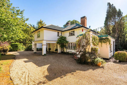
- Price
- £1,950,000
- Size
- 7.5 acres
Hartford Copse, Beaulieu, SO42, Beaulieu, Hampshire SO42 England
Added on 16/09/2026House with Land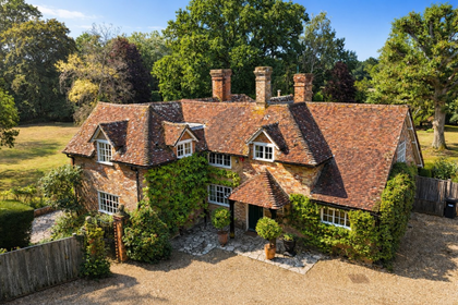
- Price
- £1,600,000
- Size
- 5 acres
Lyndhurst Road, Beaulieu, Brockenhurst, SO42, Beaulieu, Hampshire SO42 England
Added on 28/02/2026House with Land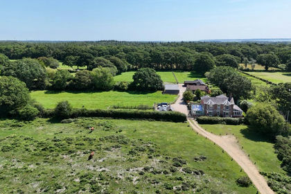
- Price
- Offers in Excess of£2,000,000
- Size
- 2.65 acres
Main Road, East Boldre, Brockenhurst, SO42, East Boldre, Hampshire SO42 England
Added on 29/01/2026House with Land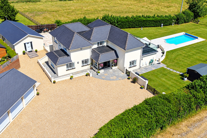
- Price
- Guide Price£1,750,000
- Size
- 2 acres
Locks House & Annexe, Main Road, Dibden, Southampton, SO45, Hythe and Dibden, Hampshire SO45 England
Added on 22/09/2026House with Land
- Price
- Guide Price£1,750,000
- Size
- 3 acres
Beaulieu Road, Brockenhurst, Hampshire, SO42, Denny Lodge, Hampshire SO42 England
Added on 24/09/2026House with Land
- Price
- £2,000,000
- Size
- 5.04 acres
Twiggs Lane, Marchwood, Hampshire, SO40, Marchwood, Hampshire SO40 England
Added on 03/09/2026Country Home
- Price
- Guide Price£1,575,000
- Size
- 3.15 acres
Lower Sandy Down Lane, Boldre, Lymington, Hampshire, SO41, Boldre, Hampshire SO41 England
Added on 17/07/2026House with Land
- Price
- £1,850,000
- Size
- 8.7 acres
Boldre Grange, Boldre, Lymington, SO41, Boldre, Hampshire SO41 England
Added on 31/07/2026House with Land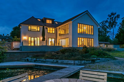
- Price
- Offers in Excess of£2,000,000
- Size
- 3.5 acres
Salterns Lane, Hampshire, SO31, Bursledon, Hampshire SO31 England
Added on 16/10/2026House with Land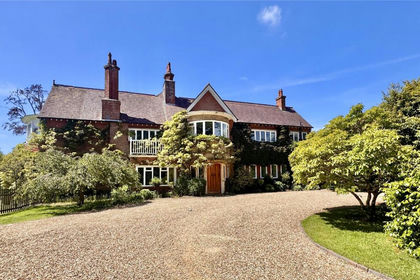
- Price
- Guide Price£1,895,000
- Size
- 2 acres
Sandy Down, Boldre, Lymington, Hampshire, SO41, Boldre, Hampshire SO41 England
Added on 02/07/2026Country Home