Sparrey Drive, Stirchley, Birmingham, B30
- Land size
- 3.5 acres
Key Features
- Sought-after Stirchley location
- Close to Bournville village
- Near Bournville railway station
- Easy access to Birmingham city centre
- Close to University of Birmingham
- Near Queen Elizabeth Hospital Birmingham
- Vibrant high street nearby
- Green spaces and canal walks close by
Description
EXCEPTIONAL FREEHOLD OPPORTUNITY: APPROX. 3.5-ACRE WOODLAND SITE ON SPARREY DRIVE, STIRCHLEY
A rare and exciting opportunity to acquire a substantial parcel of privately owned woodland, extending to approximately 3.5 acres, superbly positioned on Sparrey Drive in the ever-popular Stirchley, on the border of the prestigious Bournville.
Recognised as one of the UK"s most desirable places to live, this thriving South Birmingham location offers a compelling blend of strong community spirit, independent lifestyle amenities, and excellent connectivity; making it an outstanding prospect for forward-thinking investors and developers.
A Unique Development Prospect
This historically rich site, once forming part of the renowned Cadbury family estate, presents significant potential for a carefully considered, design-led scheme. Surrounded by established residential areas and mature greenery, it offers a rare opportunity to create something truly special.
Key Investment Highlights
Prime Positioning: Ideally located within close proximity to Bournville railway station and just a short distance from University of Birmingham, providing excellent accessibility for commuters and future residents alike.
Extensive Preliminary Work Completed:
A comprehensive suite of surveys and professional consultations have already been undertaken, including detailed arboricultural and ecological assessments, alongside early-stage discussions with Birmingham City Council and leading sustainable design specialists.
Scope for Visionary Development:
The site lends itself to a range of potential schemes (subject to planning), including boutique residential development, eco-conscious housing, or a bespoke self-build community. Early conceptual thinking has explored low-impact, sustainable living environments that respond sensitively to the natural surroundings.
Strong Environmental Credentials:
Existing reports indicate clear potential to enhance biodiversity through considered landscape management and native planting; supporting an eco-led planning approach.
Planning Flexibility:
Offered without the constraint of existing planning permission, allowing an incoming purchaser the freedom to shape and deliver their own architectural vision.
Overage Provision:
A standard overage arrangement will apply, triggered only upon the successful grant of planning permission, reflecting the groundwork already undertaken.
The Opportunity
This is a strategic and considered release to the market, presenting a rare chance to acquire a substantial woodland site in one of Birmingham's most sought-after and dynamic locations. With strong local appeal, excellent connectivity, and a compelling foundation for future development, this site offers the potential to create a landmark scheme within a thriving and well-established community.
Situated on Sparrey Drive, this unique woodland site enjoys a prime position within Stirchley, one of South Birmingham's most vibrant and rapidly evolving neighbourhoods. Known for its strong sense of community and independent spirit, Stirchley has become a destination of choice for buyers, renters, and developers alike.
The area is renowned for its thriving high street, offering an eclectic mix of independent cafés, award-winning eateries, artisan bakeries, and microbreweries, all contributing to its lively yet relaxed atmosphere. Its proximity to Bournville further enhances its appeal, with the historic garden village providing picturesque surroundings, green open spaces, and a rich heritage linked to the Cadbury legacy.
Connectivity is a key strength, with Bournville railway station just moments away, offering direct links into Birmingham city centre and beyond. The nearby University of Birmingham and Queen Elizabeth Hospital Birmingham make this an especially attractive location for academics, medical professionals, and students.
For those seeking outdoor space, the site is well placed for access to local parks, canal walks, and wider green networks, blending urban convenience with natural surroundings.
Overall, this location offers a compelling combination of lifestyle appeal, connectivity, and long-term growth potential; making it an exceptional setting for a forward-thinking development.
Map Location
Property details
- Tenure
- Freehold
- Council Tax Band
- TBC
- Date Posted
- 2026-03-21
Price history
| Date | Change | Price |
|---|---|---|
| 12 Aug 2026 | Reduced 22% (−£55,000) | £195,000 |
| Until 12 Aug 2026 | Asking price | £250,000 |
Market Value Analysis
Compared with 29 Woodland listings in West Midlands (1+ acres).
Utilities & Restrictions
Utilities
- Electricity
- Ask Agent
- Water
- Ask Agent
- Heating
- Ask Agent
- Broadband
- Ask Agent
- Sewerage
- Ask Agent
Rights & Restrictions
- Public Rights of Way
- Ask Agent
- Private Rights of Way
- Ask Agent
- Listed Property
- Ask Agent
- Restrictions
- Ask Agent
Listed status, conservation areas and planning constraints for this location are in the full report.
Property Features
- Accessibility
- Ask Agent
- Parking
- Parking Available
- Garden
- Garden
Beyond the particulars: planning activity, flood history, heritage and ground risks, checked for this exact spot.
Connectivity
Broadband
Fastest speed available at this postcode
10 Gbps
Gigabit full fibre
Suitable for
- 4K streaming on every screen
- Full-time home working
- Online gaming & big downloads
Mobile signal
Predicted 4G and 5G signal; indoor signal depends on building materials.
Ofcom Connected Nations postcode-level predictions. Speeds and signal are modelled, not measured, and vary between addresses and providers.
Signal is the easy part. Planning activity, flood history and protected designations here are in the full report.
Nearest Schools
Primary
- Raddlebarn Primary School596 metresNo Ofsted rating
- Ages
- 3 to 11
- Pupils
- 391
- Type
- Community school
- Stirchley Primary School659 metresNo Ofsted rating
- Ages
- 3 to 11
- Pupils
- 224
- Type
- Academy converter
- Bournville Village Primary676 metresOfsted: Good
- Ages
- 5 to 11
- Pupils
- 652
- Type
- Voluntary aided school
- St Edward's Catholic Primary School0.6 milesOfsted: Good
- Ages
- 4 to 11
- Pupils
- 373
- Type
- Voluntary aided school
- Faith
- Roman Catholic
- St Joseph's Catholic Primary School0.7 milesNo Ofsted rating
- Ages
- 4 to 11
- Pupils
- 210
- Type
- Academy sponsor led
- Faith
- Roman Catholic
Secondary
- Selly Park Girls' School820 metresOfsted: Good
- Ages
- 11 to 16
- Pupils
- 803
- Type
- Community school
- Gender
- Girls
- Dame Elizabeth Cadbury School0.7 milesOfsted: Good
- Ages
- 11 to 19
- Pupils
- 774
- Type
- Academy converter
- Kings Norton Girls' School0.8 milesNo Ofsted rating
- Ages
- 11 to 18
- Pupils
- 1,076
- Type
- Academy converter
- Gender
- Girls
- The University of Birmingham School1 mileNo Ofsted rating
- Ages
- 11 to 19
- Pupils
- 1,188
- Type
- Free schools
- King Edward VI Camp Hill School for Girls1.1 milesOfsted: Outstanding
- Ages
- 11 to 18
- Pupils
- 1,118
- Type
- Academy converter
- Gender
- Girls
Distances are straight-line from the advertised location. Source: the national school registers (DfE, Welsh Government, Scottish Government) and Ofsted.
Schools are just the start: sold prices nearby, planning activity and any flood history are in the full report.
Amenities
Supermarket
GP surgery
Pharmacy
Hospital
Green space
Straight-line distances from the advertised location. Sources: NHS records, Geolytix supermarket locations, OS Open Greenspace and the national trails registers.
The area stacks up? Now check the location itself: planning nearby, protected designations and past flooding.
Getting Around
Nearest station
Nearest bus stop
Typical drive times
Straight-line distances from the advertised location; drive times are typical free-flow times over OpenStreetMap road data, so allow more at peak. Public transport locations from DfT NaPTAN.
Easy to reach matters. So do planning activity, flood history and ground risks: all in the full report.
Flood Risk
Environment Agency open data, checked around the advertised map pin for the listed acreage. Long-term risk counts flood defences; the planning map's flood zones do not. The map pin for this listing marks the postcode area rather than the exact location, so these readings describe the surrounding area. Provided by LandSale, not the listing agent, and not part of the agent's particulars. Risk varies across a holding, so verify before committing.
Rivers and the sea
Planning map: Flood Zone 2, about 30 metres away.
Surface water
Not at the pin: mapped about 10 metres away.
These bandings are the summary. Where this location sits on the flood maps, plus planning activity, heritage and ground risks, is in the full report.
Important notice: Information, maps and tags on this page are drawn from the advertising agent's marketing materials or generated automatically. LandSale has not verified them. Relying on these details is at your own risk, always carry out independent checks before committing to a purchase.
LandSale full disclaimer
Marketing information only - not formal particulars. The details on this website are provided for general guidance and do not constitute an offer or contract. Neither LandSale nor the advertising estate/land agent accepts responsibility for any inaccuracy.
1. Source of information
- Listing content: Core description, asking price, tenure, measurements, photographs and planning history originate from the marketing materials of the advertising estate or land agent. LandSale does not author this content and cannot guarantee its accuracy.
- Automated tags & categorisation: Property type, land-use class, acreage bands and similar labels may be applied by machine-learning models. They are intended as a helpful guide only and may not reflect the property's legal status or permitted use.
- Third-party & enriched data layers: Maps, boundary outlines, planning designations, soil reports, broadband coverage and other environmental or location-based insights are licensed from external suppliers. Such data are supplied “as is", may be incomplete or out of date and are subject to change without notice.
2. Verification required
Prospective purchasers must verify critical matters, including but not limited to planning permission, title boundaries, public rights of way, environmental constraints, acreage, services, access and VAT status, through their own inspections, specialist surveys, legal advisers and the selling agent before relying on the information or entering into any contract.
3. No warranty or liability
LandSale gives no warranty, express or implied, as to the accuracy, completeness or fitness for any particular purpose of the information displayed. LandSale shall not be liable for any loss, damage, cost or expense arising directly or indirectly from any use of or reliance on such information, save where liability may not be excluded by law.
4. Updates & feedback
If you believe any detail on this listing is inaccurate, please let us know. We will investigate and, where appropriate, update the listing or notify the agent.
© LandSale | Version 1.3 - August 2026
Listing agent
Wentworth & Rose, Harborne
4a Albany Road, Harborne, Birmingham, B17 9JX
Similar properties for sale
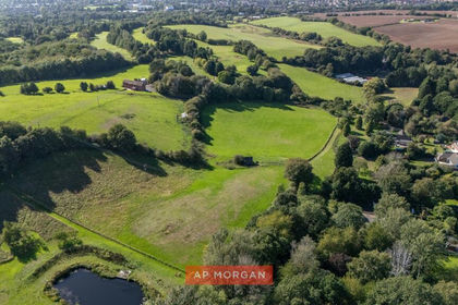
- Price
- Offers Over£225,000
- Size
- 7.9 acres
Alcester Road, Burcot, Bromsgrove, Worcestershire, B60, Bromsgrove, Worcestershire B60 England
Added on 26/09/2026Barn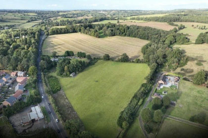
- Price
- Guide Price£155,000
- Size
- 3.91 acres
Stourbridge Road, Wombourne, Wolverhampton, Staffordshire, WV5, Wombourne, Staffordshire WV5 England
Added on 09/07/2026Vacant Land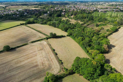
- Price
- Guide Price£175,000
- Size
- 5.85 acres
Inkberrow, Worcestershire, Inkberrow, Worcestershire WR7 England
Added on 24/09/2026Grazing Land
- Price
- £224,995
- Size
- 1 acres
Ladywood, Ironbridge, TF8, The Gorge, Telford and Wrekin TF8 England
Added on 29/01/2026Development Land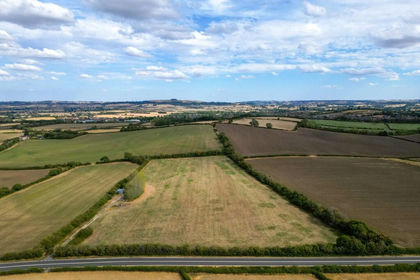
- Price
- Guide Price£175,000
- Size
- 8.26 acres
Fosse Way, Shipston-on-Stour, Warwickshire, CV36, Tredington, Warwickshire CV36 England
Added on 22/08/2026Agricultural Land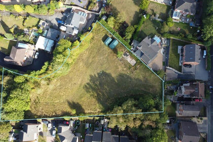
- Price
- £200,000
- Size
- 1.1 acres
Holyhead Road, Oakengates, Telford, Shropshire., Oakengates, Telford and Wrekin TF2 England
Added on 29/07/2026Development Land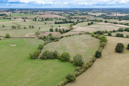
- Price
- Guide Price£175,000
- Size
- 10 acres
Badby, Daventry, Staverton, West Northamptonshire NN11 England
Added on 25/09/2026Undeveloped Land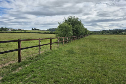
- Price
- Offers in Excess of£150,000
- Size
- 9.81 acres
Land at Tirley Road, Corse Lawn, Gloucestershire, GL19, Tirley, Gloucestershire GL19 England
Added on 07/08/2026Undeveloped Land