Northgate, Cottingham
Key Features
- DEVELOPMENT OPPORTUNITY
- For Sale With Planning Permission
- 8 x Apartments, 1 x 4 Bedroom Detached House
- Off Street Parking x 15
- Central Cottingham Location
- Tenure - Freehold
Description
***ATTENTION DEVELOPERS***A rare development opportunity close to the centre of Cottingham village with planning permission. Needler Hall has extensive history having been originally constructed as a large private house in the 18th century. It was acquired by the university in the 1920's and predominantly served as a halls of residence which was home to the poet Roger McGough and Philip Larkin was appointed sub-warden at Needler Hall whilst serving as the universities librarian. The project has permission to convert the existing building into 8 large apartments which will make the most of the grandeur of the period building with four large 1 bedroom apartments to the ground floor and four 2 bedroom duplex apartments to the first and second floor. In addition, planning is in place for a 4 bedroom detached family home within the grounds as well as off street car parking for 15 vehicles to serve all units. Located in a prime position with easy access to all the facilities that Cottingham has to offer
Planning Permission
The site has planning permission to convert the existing building into 4 x 1 bedroom apartments and 4 x 2 bedroom duplex apartments (planning references 16/00075/STPLF & 22/02672/STVAR) and a 1 x 4 bedroom detached house (planning reference 22/02201/PLF).The plans also include the provision for off street parking for 15 vehicles, landscaping and refuse storage
Individual Unit Breakdown
Main House
Flat 1 - 1 bedroom ground floor - 53.8m2
Flat 2 - 1 bedroom ground floor - 47m2
Flat 3 - 1 bedroom ground floor - 56.2m2
Flat 4 - 1 bedroom ground floor - 57m2
Flat 5 - 2 bedroom first/second floor duplex - 81.9m2
Flat 6 - 2 bedroom first/second floor duplex - 90.1m2
Flat 7 - 2 bedroom first/second floor duplex - 79m2
Flat 8 - 2 bedroom first/second floor duplex - 88.2m2
New Build House
4 bedroom detached house - 102.5m2
Grounds & Car Parking
The planning permission includes the provision for off street parking spaces for 15 vehicles, landscaping and appropriate refuse storage areas
Section 106 Agreement
A section 106 agreement is in place and a condition of the planning permission. This requires an affordable housing contribution and recreational facilities contribution which totals approximately £30,000 and will be the responsibility of the purchaser and therefore should be factored into the overall costs to develop the site. Further details can be provided upon request
Agents Notes
In most cases we use wide angle lens photography to ensure we capture as much of the room and its features. This can distort the image slightly and should be considered alongside the other details within the particulars. Oscars give notice that these particulars whilst believed to be accurate are set out as a general outline only for guidance and do not constitute any part of an offer or contract. Purchasers and potential purchasers should not rely on them as statements or representations of fact, but must satisfy themselves by inspection or otherwise to assess their accuracy. No person in the employment of Oscars has the authority to make or give any representation or warranty in relation to the property. In compliance with NTSELAT guidance on referral fees, we confirm that vendors and prospective purchasers will be offered estate agency and other associated services for which certain referral fees/commissions may be made available to the agent. Full details can be found on our...
Free Valuation
Free Valuation:
If you are considering selling or letting your property, we would be delighted to provide a free valuation and marketing advice. Please contact the office on to arrange an appointment.
ID/AML Checks
Please note that if your offer is accepted on a property, we are legally required to undertake identity checks and anti-money laundering checks. These are conducted by a third party, Hipla, on our behalf and there is a charge of £20+VAT (£24 incl VAT) for their services. If you do not wish for your data to be processed for ID/AML purposes you must notify our sales team at offer stage.
Property Information
The property is currently in a state of disrepair and therefore internal viewings may be difficult. External viewing of the site can take place at any time but the protective Heras fencing must not be breached
EPC rating - N/A
Council Tax Band - Individual units will be classified upon completion
Broadband - Standard & Ultrafast are available in this general location
Mobile phone coverage - 1 network is listed as good both indoors and outdoors, 2 networks are listed as variable indoors and good outdoors with 1 further network listed as good - outdoors only. Please refer to the Ofcom website for further details
Flood risk - Very low
Map Location
Property details
- Tenure
- Freehold
- Council Tax Band
- TBC
- Date Posted
- 2026-02-19
Utilities & Restrictions
Utilities
- Electricity
- Ask Agent
- Water
- Ask Agent
- Heating
- Ask Agent
- Broadband
- Ask Agent
- Sewerage
- Ask Agent
Rights & Restrictions
- Public Rights of Way
- Ask Agent
- Private Rights of Way
- Ask Agent
- Listed Property
- Ask Agent
- Restrictions
- Ask Agent
Property Features
- Accessibility
- Ask Agent
- Parking
- Parking Available
- Garden
- Garden
Important notice: Information, maps and tags on this page are supplied by the advertising agent or generated automatically. LandSale has not verified them. Relying on these details is at your own risk, always carry out independent checks before committing to a purchase.
LandSale full disclaimer
Marketing information only - not formal particulars. The details on this website are provided for general guidance and do not constitute an offer or contract. Neither LandSale nor the advertising estate/land agent accepts responsibility for any inaccuracy.
1. Source of information
- Agent-supplied content: Core description, asking price, tenure, measurements, photographs and planning history are uploaded by the appointed agent, who remains solely responsible for their accuracy.
- Automated tags & categorisation: Property type, land-use class, acreage bands and similar labels may be applied by machine-learning models. They are intended as a helpful guide only and may not reflect the property's legal status or permitted use.
- Third-party & enriched data layers: Maps, boundary outlines, planning designations, soil reports, broadband coverage and other environmental or location-based insights are licensed from external suppliers. Such data are supplied “as is", may be incomplete or out of date and are subject to change without notice.
2. Verification required
Prospective purchasers must verify critical matters, including but not limited to planning permission, title boundaries, public rights of way, environmental constraints, acreage, services, access and VAT status, through their own inspections, specialist surveys, legal advisers and the selling agent before relying on the information or entering into any contract.
3. No warranty or liability
LandSale gives no warranty, express or implied, as to the accuracy, completeness or fitness for any particular purpose of the information displayed. LandSale shall not be liable for any loss, damage, cost or expense arising directly or indirectly from any use of or reliance on such information, save where liability may not be excluded by law.
4. Updates & feedback
If you believe any detail on this listing is inaccurate, please let us know. We will investigate and, where appropriate, update the listing or notify the agent.
© LandSale | Version 1.2 - January 2026
Listing agent
Oscars, Hull
211 - 213 Hull Road Anlaby Common HU4 7RX
Similar properties for sale
- Price
- Guide Price£275,000
Added on 27/06/2026Development Land
- Price
- Offers in Region of£370,000
- Size
- 0.43 acres
Added on 29/01/2026Development Land
- Price
- Guide Price£325,000
- Size
- 0.65 acres
Added on 29/01/2026Development Land
- Price
- £275,000
- Size
- 0.4 acres
The Hill, Worlaby, North Lincolnshire, DN20, Worlaby, North Lincolnshire DN20 0NP England
Added on 29/01/2026Self Build Plot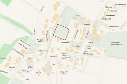
- Price
- £295,000
- Size
- 0.5 acres
Prospect Lane, Alkborough, Alkborough, North Lincolnshire DN15 9LD England
Added on 29/01/2026Self Build Plot
- Price
- £295,000
- Size
- 0.5 acres
Prospect Lane, Alkborough, Alkborough, North Lincolnshire DN15 9LD England
Added on 29/01/2026Self Build Plot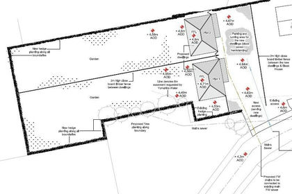 Added on 24/06/2026Building Plot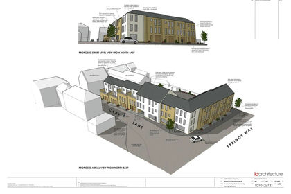
- Price
- £275,000
- Size
- 0.5 acres
Springs Way, Brigg, DN20, Brigg, North Lincolnshire DN20 8HA England
Added on 29/05/2026Development Land
- Price
- Offers in Excess of£350,000
- Size
- 1.21 acres
Westrum Lane, Brigg, DN20 9EY, Brigg, North Lincolnshire DN20 9EY England
Added on 17/07/2026Development Land
- Price
- Offers in Region of£230,000
- Size
- 0.3 acres
Carr Lane, Healing, Healing, North East Lincolnshire DN41 7QR England
Added on 29/01/2026Building Plot